Elevation of Courtney's Places, W Main St, Toronto, KS, USA
Location: United States > Kansas > Woodson County > Toronto > Toronto >
Longitude: -95.9509625
Latitude: 37.7982213
Elevation: -10000m / -32808feet
Barometric Pressure: 0KPa
Related Photos:

43919

43918

Milky Way Landscape

Sunset Fire

Golden Stalks

Mossy Path

Driftwood in the Bottomland

Ford at the Northeast Boundary

Fording the Stream
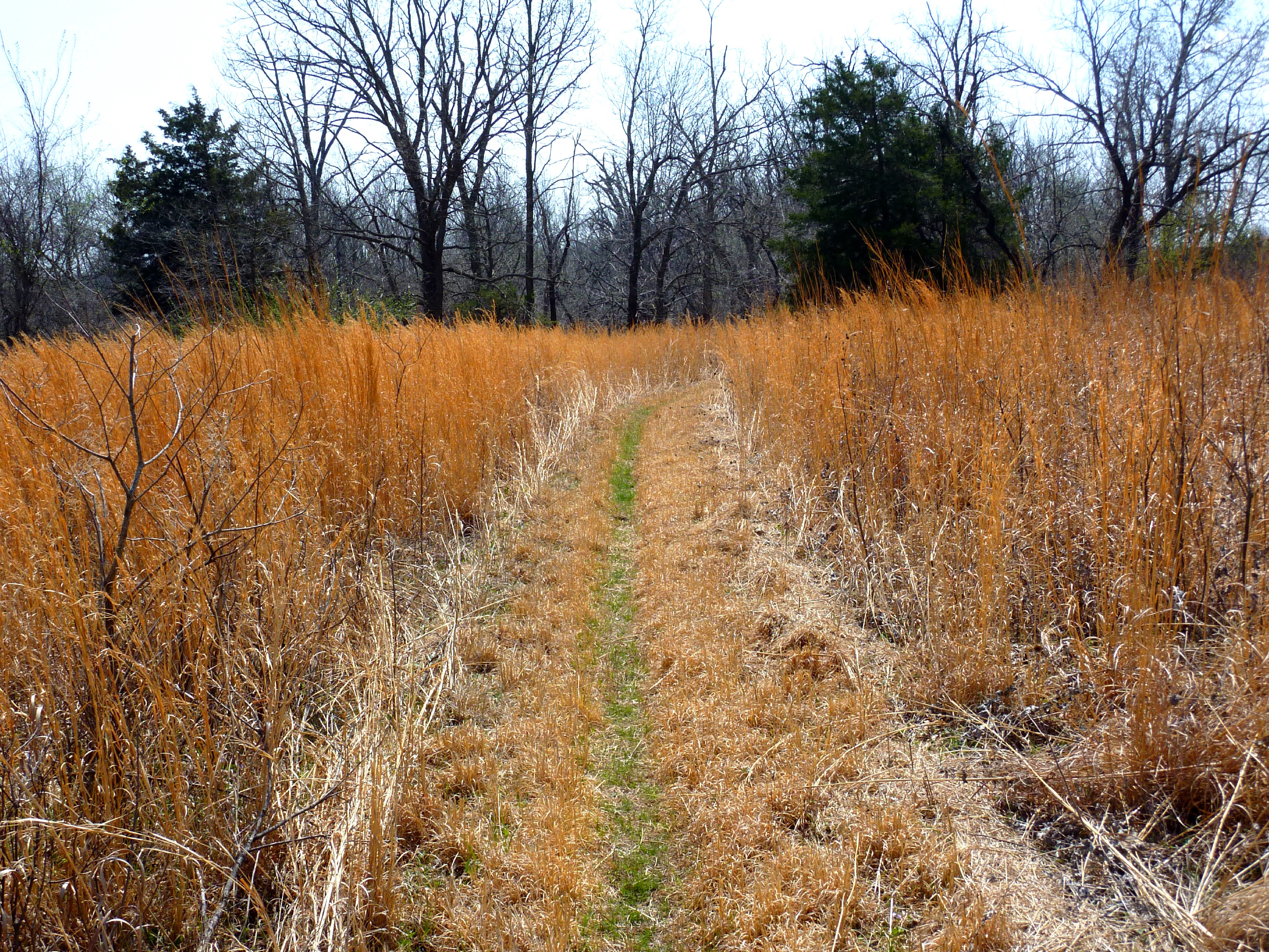
Golden Grass

Sandstone Outcrop

Bridge on Chautauqua Hills Trail

Mossy Ledge Above the Bottomland

Rocky Shore of Toronto Lake
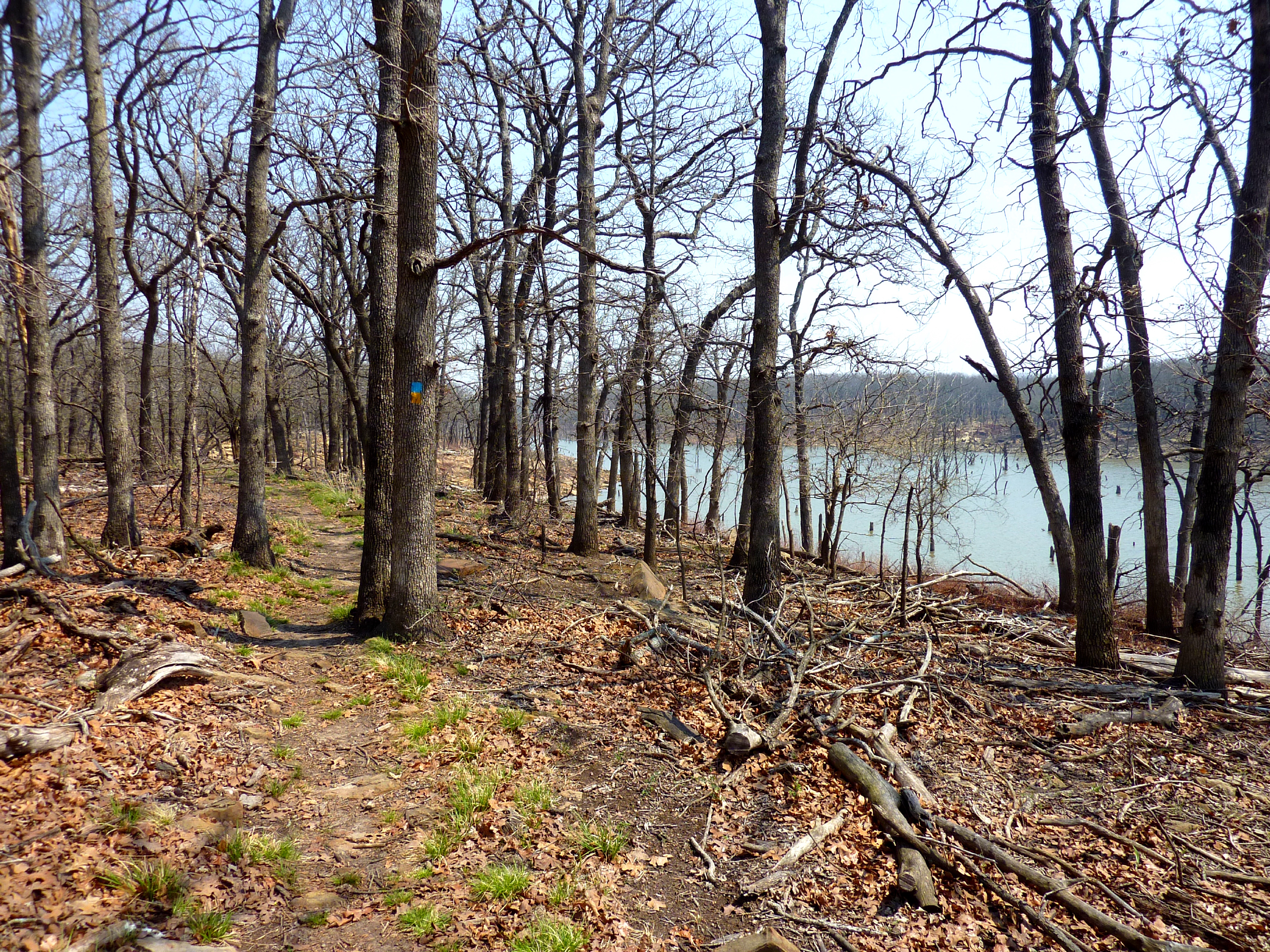
Heading Northeast on the Chautauqua Hills Trail

Mossy Steps

Mower Trail

Sculpted Sandstone at the Stream Ford
Topographic Map of Courtney's Places, W Main St, Toronto, KS, USA
Find elevation by address:

Places near Courtney's Places, W Main St, Toronto, KS, USA:
Toronto
N Jackson St, Toronto, KS, USA
Toronto
820 Coyote Rd
Salt Springs
Woodson County
Fall River Lake
Fall River, KS, USA
Fall River
Greenwood County
Prairie
Main St, New Albany, KS, USA
New Albany
Yates Center
W Rutledge St, Yates Center, KS, USA
Porter Crop Insurance
Fall River
8740 1500 Rd
Wilson County
Main St, Buffalo, KS, USA
Recent Searches:
- Elevation of Sarahills Drive, Saratoga, Santa Clara County, California, 95070, USA
- Elevation of Town of Bombay, Franklin County, New York, USA
- Elevation of 9, Convent Lane, Center Moriches, Suffolk County, New York, 11934, USA
- Elevation of Saint Angelas Convent, 9, Convent Lane, Center Moriches, Suffolk County, New York, 11934, USA
- Elevation of 131st Street Southwest, Mukilteo, Snohomish County, Washington, 98275, USA
- Elevation of 304, Harrison Road, Naples, Cumberland County, Maine, 04055, USA
- Elevation of 2362, Timber Ridge Road, Harrisburg, Cabarrus County, North Carolina, 28075, USA
- Elevation of Ridge Road, Marshalltown, Marshall County, Iowa, 50158, USA
- Elevation of 2459, Misty Shadows Drive, Pigeon Forge, Sevier County, Tennessee, 37862, USA
- Elevation of 8043, Brightwater Way, Spring Hill, Williamson County, Tennessee, 37179, USA
- Elevation of Starkweather Road, San Luis, Costilla County, Colorado, 81152, USA
- Elevation of 5277, Woodside Drive, Baton Rouge, East Baton Rouge Parish, Louisiana, 70808, USA
- Elevation of 1139, Curtin Street, Shepherd Park Plaza, Houston, Harris County, Texas, 77018, USA
- Elevation of 136, Sellers Lane, Repton, Monroe County, Alabama, 36475, USA
- Elevation of 12914, Elmington Drive, Lakewood Forest, Houston, Harris County, Texas, 77429, USA
- Elevation of 417, Camelot Drive, Statesville, Iredell County, North Carolina, 28625, USA
- Elevation of 5792, Wildridge Road, Avon, Eagle County, Colorado, 81620, USA
- Elevation of Jiuzhi, Handan, Hebei, 056000, China
- Elevation of Kangding Airport, 莫多 - 磨西, Kangding, Sichuan, 626000, China
- Elevation of Tagong Monastery, 兰州-马关, Kangding, Sichuan, 626000, China