Elevation of New Albany, KS, USA
Location: United States > Kansas > Wilson County > Fall River >
Longitude: -95.9377613
Latitude: 37.5683765
Elevation: 273m / 896feet
Barometric Pressure: 0KPa
Related Photos:
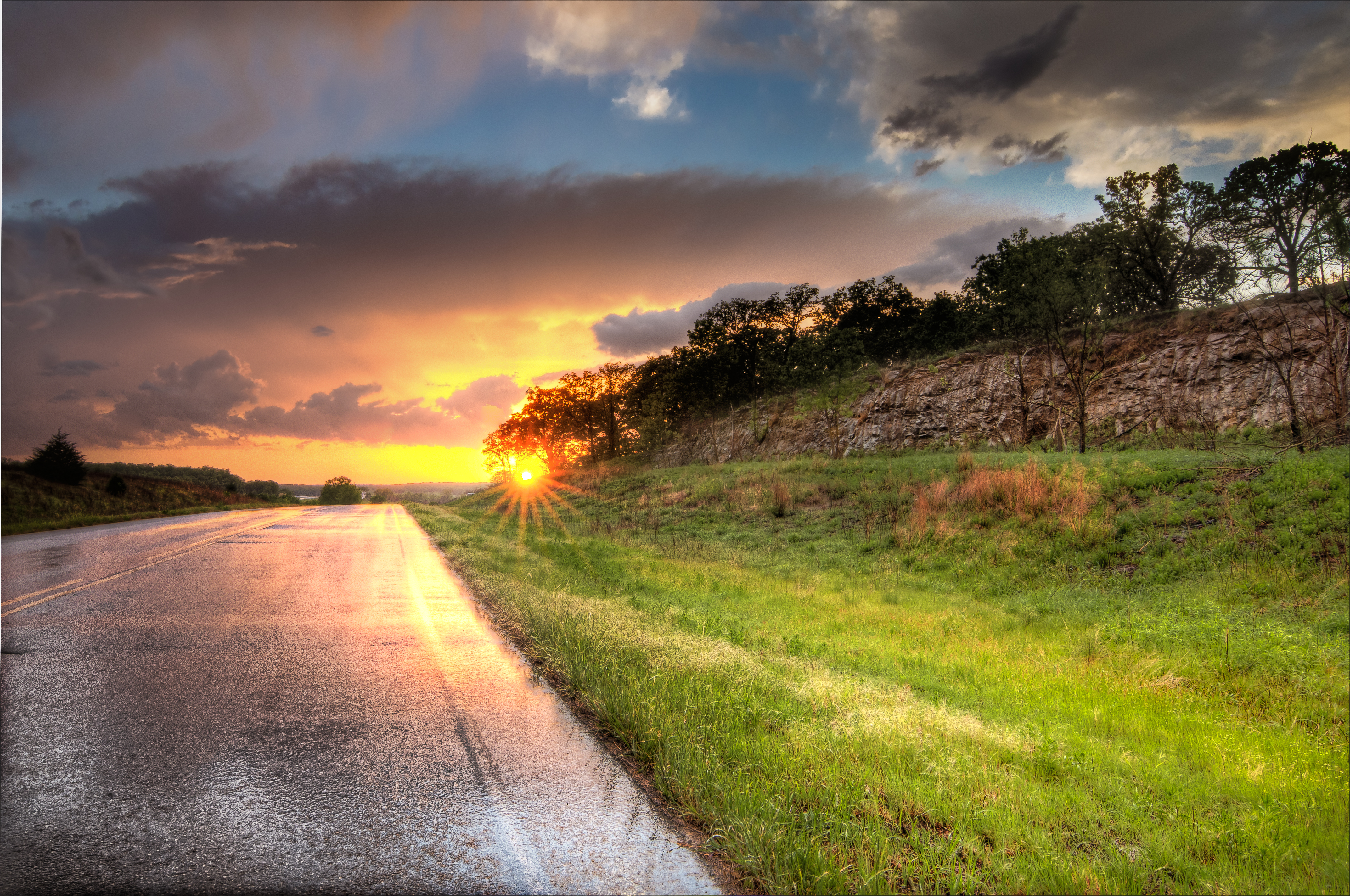
End of the Chase
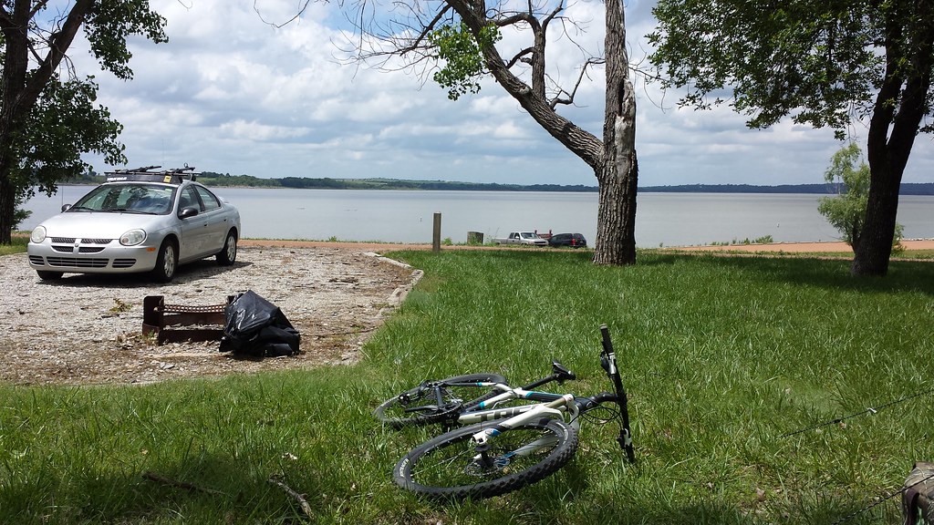
lake view

Lake View from Catclaw Trail
Wide Open Sky

Old U.S. 54

Old U.S. 54

Along old Highway 54

Old U.S. 54

Grain Elevator at Fredonia

Old U.S. 54
flood waters going down

Grain Elevator at Fredonia

Along old Highway 54
Topographic Map of New Albany, KS, USA
Find elevation by address:

Places in New Albany, KS, USA:
Places near New Albany, KS, USA:
Main St, New Albany, KS, USA
Fall River
310 Madison St
Fredonia Outdoor Equipment
Prairie
103 Jefferson St
329 N 3rd St
103 S 2nd St
303 Washington St
310 Washington St
310 Washington St
The Edge
Fredonia
N 7th St, Fredonia, KS, USA
8740 1500 Rd
Fredonia Junior Senior High School
Wilson County
Fredonia Rotary Park
233 N 16th St
Center
Recent Searches:
- Elevation map of Greenland, Greenland
- Elevation of Sullivan Hill, New York, New York, 10002, USA
- Elevation of Morehead Road, Withrow Downs, Charlotte, Mecklenburg County, North Carolina, 28262, USA
- Elevation of 2800, Morehead Road, Withrow Downs, Charlotte, Mecklenburg County, North Carolina, 28262, USA
- Elevation of Yangbi Yi Autonomous County, Yunnan, China
- Elevation of Pingpo, Yangbi Yi Autonomous County, Yunnan, China
- Elevation of Mount Malong, Pingpo, Yangbi Yi Autonomous County, Yunnan, China
- Elevation map of Yongping County, Yunnan, China
- Elevation of North 8th Street, Palatka, Putnam County, Florida, 32177, USA
- Elevation of 107, Big Apple Road, East Palatka, Putnam County, Florida, 32131, USA
- Elevation of Jiezi, Chongzhou City, Sichuan, China
- Elevation of Chongzhou City, Sichuan, China
- Elevation of Huaiyuan, Chongzhou City, Sichuan, China
- Elevation of Qingxia, Chengdu, Sichuan, China
- Elevation of Corso Fratelli Cairoli, 35, Macerata MC, Italy
- Elevation of Tallevast Rd, Sarasota, FL, USA
- Elevation of 4th St E, Sonoma, CA, USA
- Elevation of Black Hollow Rd, Pennsdale, PA, USA
- Elevation of Oakland Ave, Williamsport, PA, USA
- Elevation of Pedrógão Grande, Portugal