Elevation of Fredonia, KS, USA
Location: United States > Kansas > Wilson County >
Longitude: -95.826648
Latitude: 37.5339386
Elevation: 274m / 899feet
Barometric Pressure: 98KPa
Elevation Map:
Satellite Map:
Related Photos:

End of the Chase
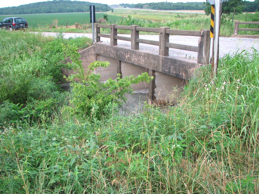
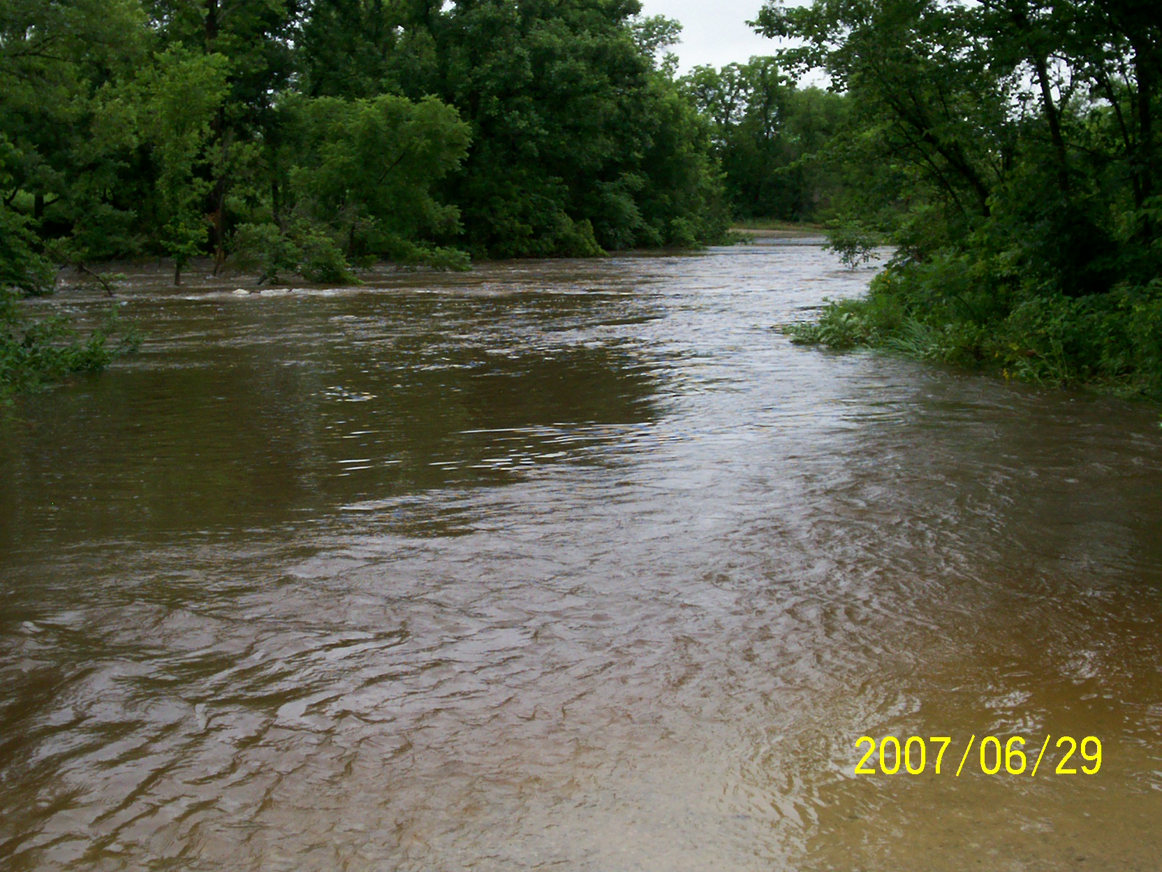
Side View: Branch of Fall Creek
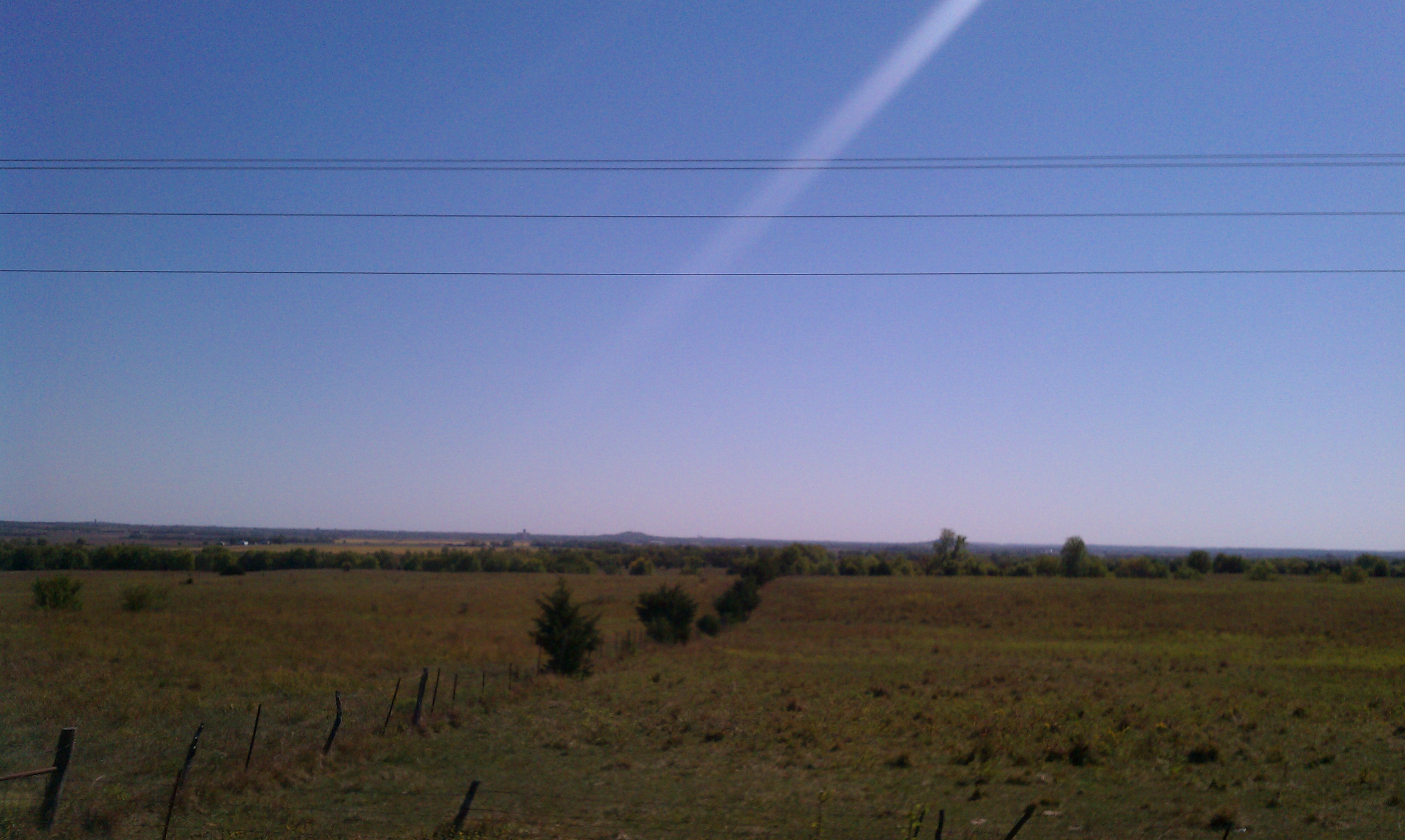
Wide Open Sky

Wind Mill on Highway 47

Wind Mill on Highway 47
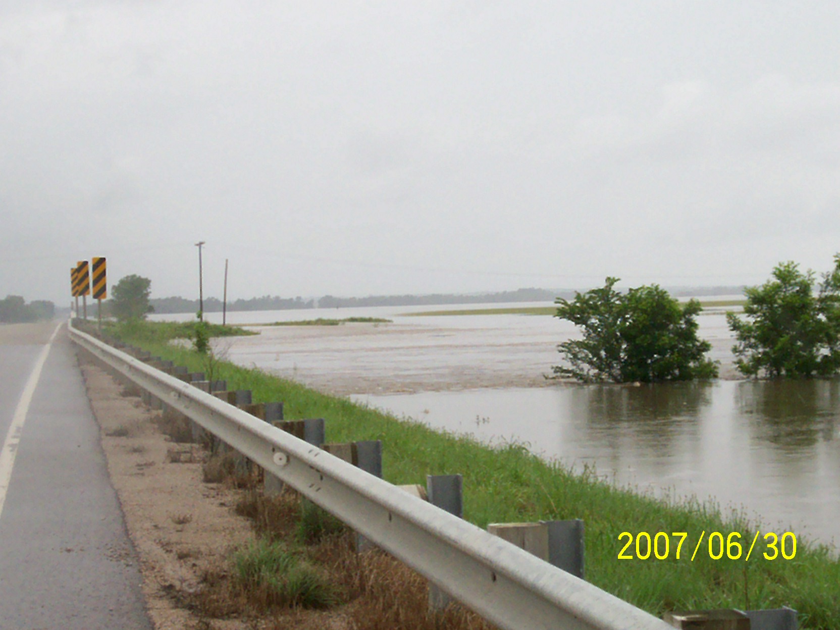
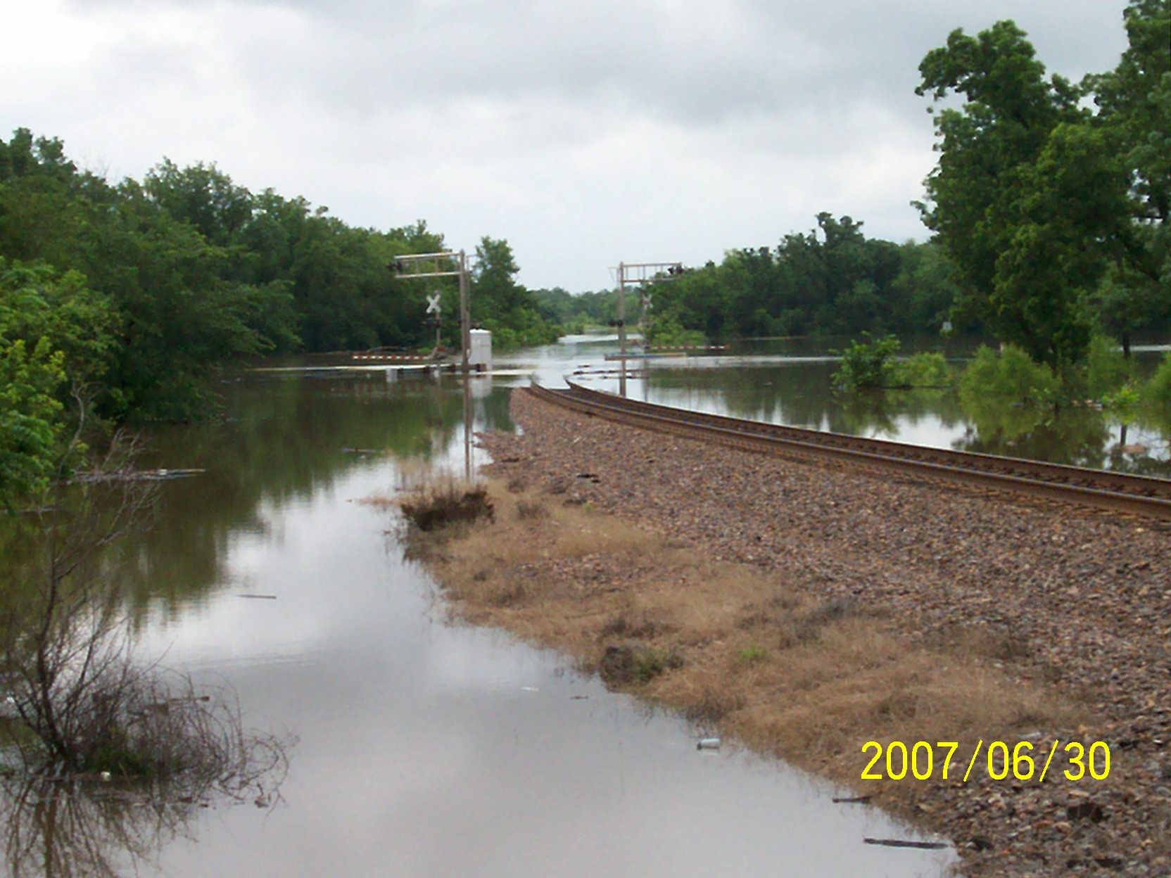
second day of flooding
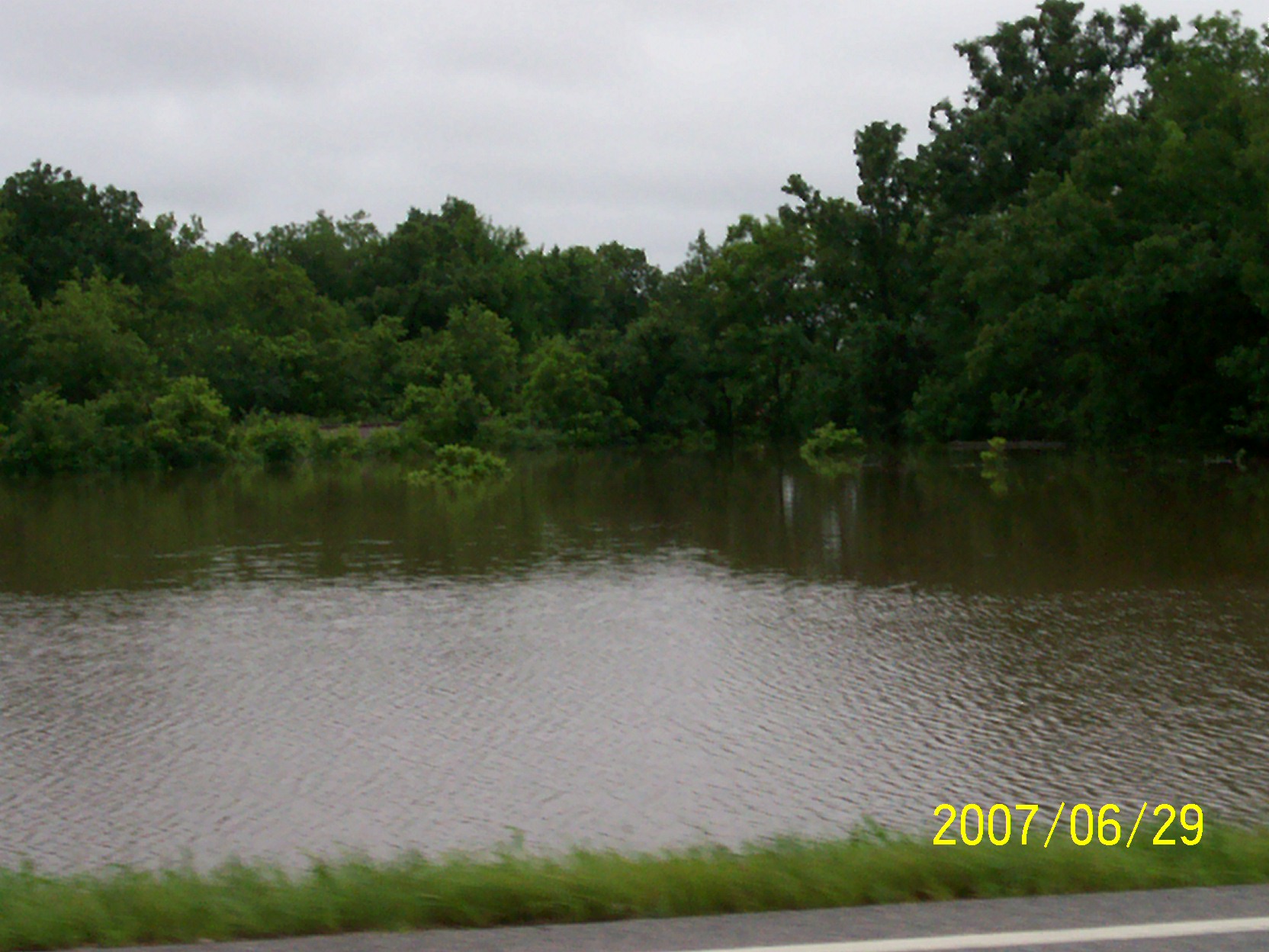
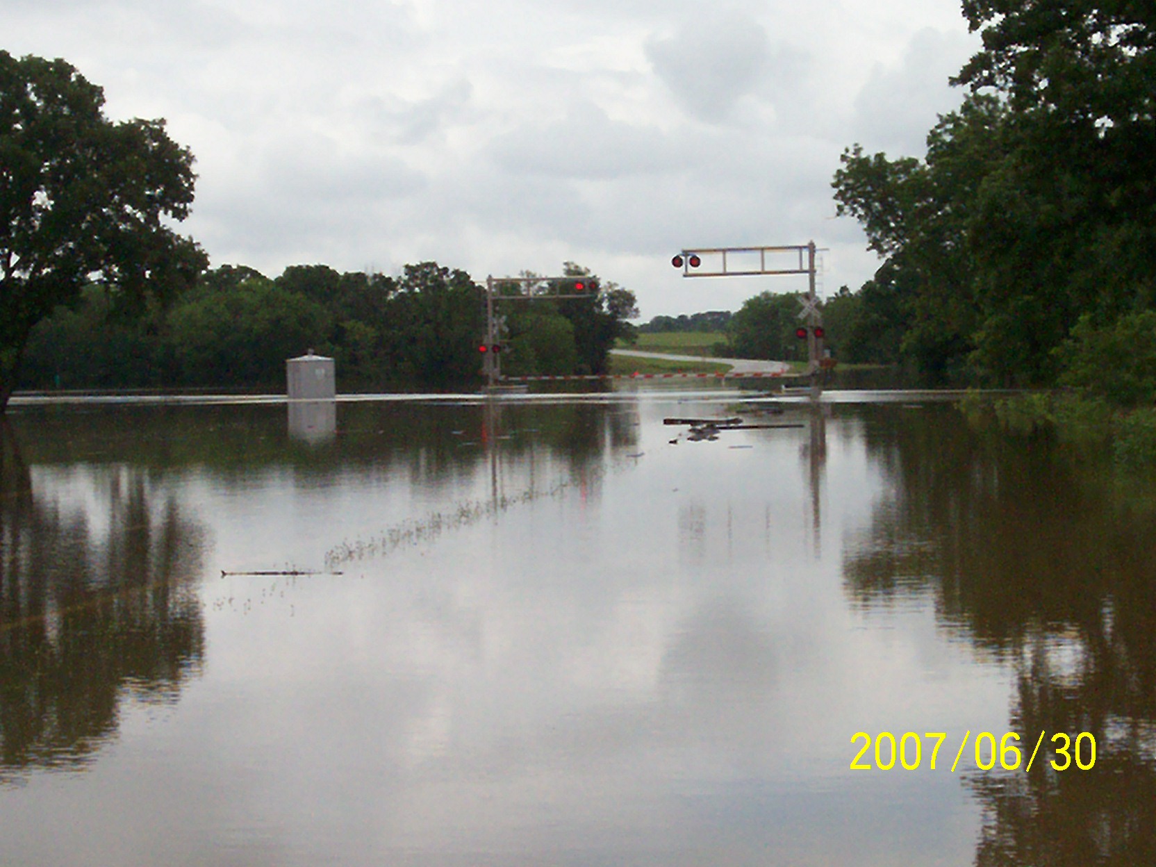
first day of flooding

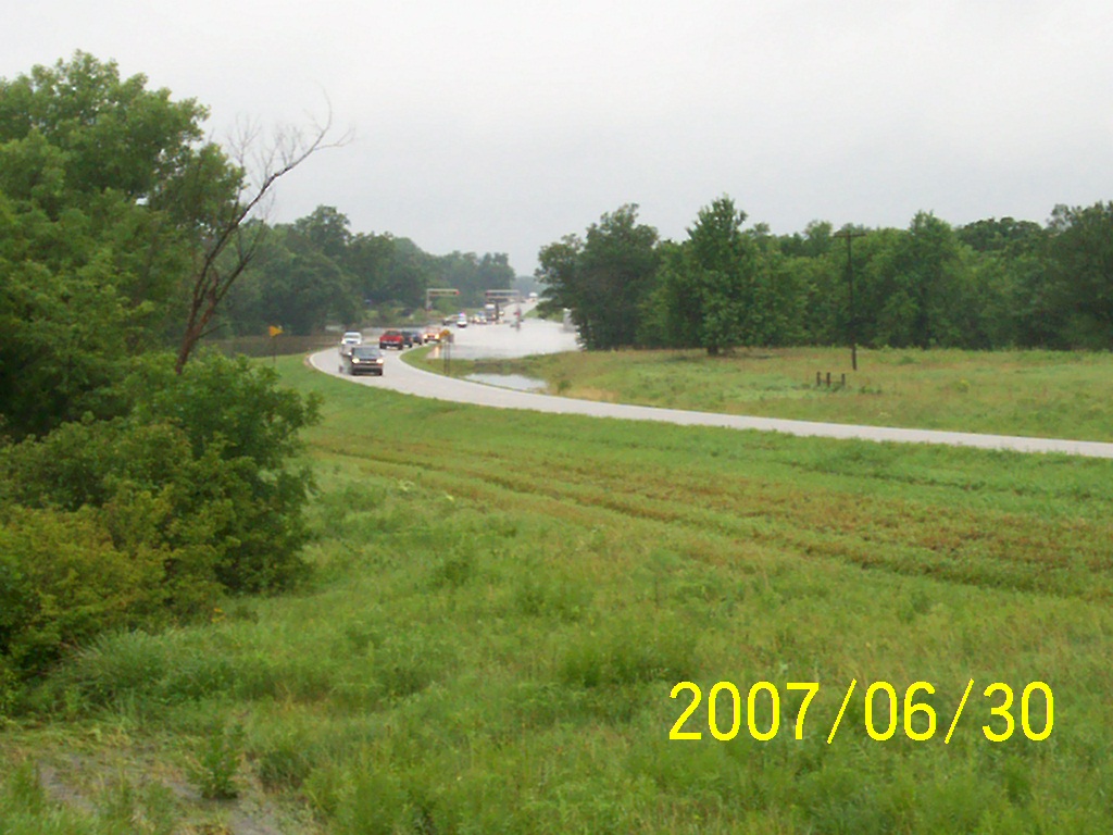
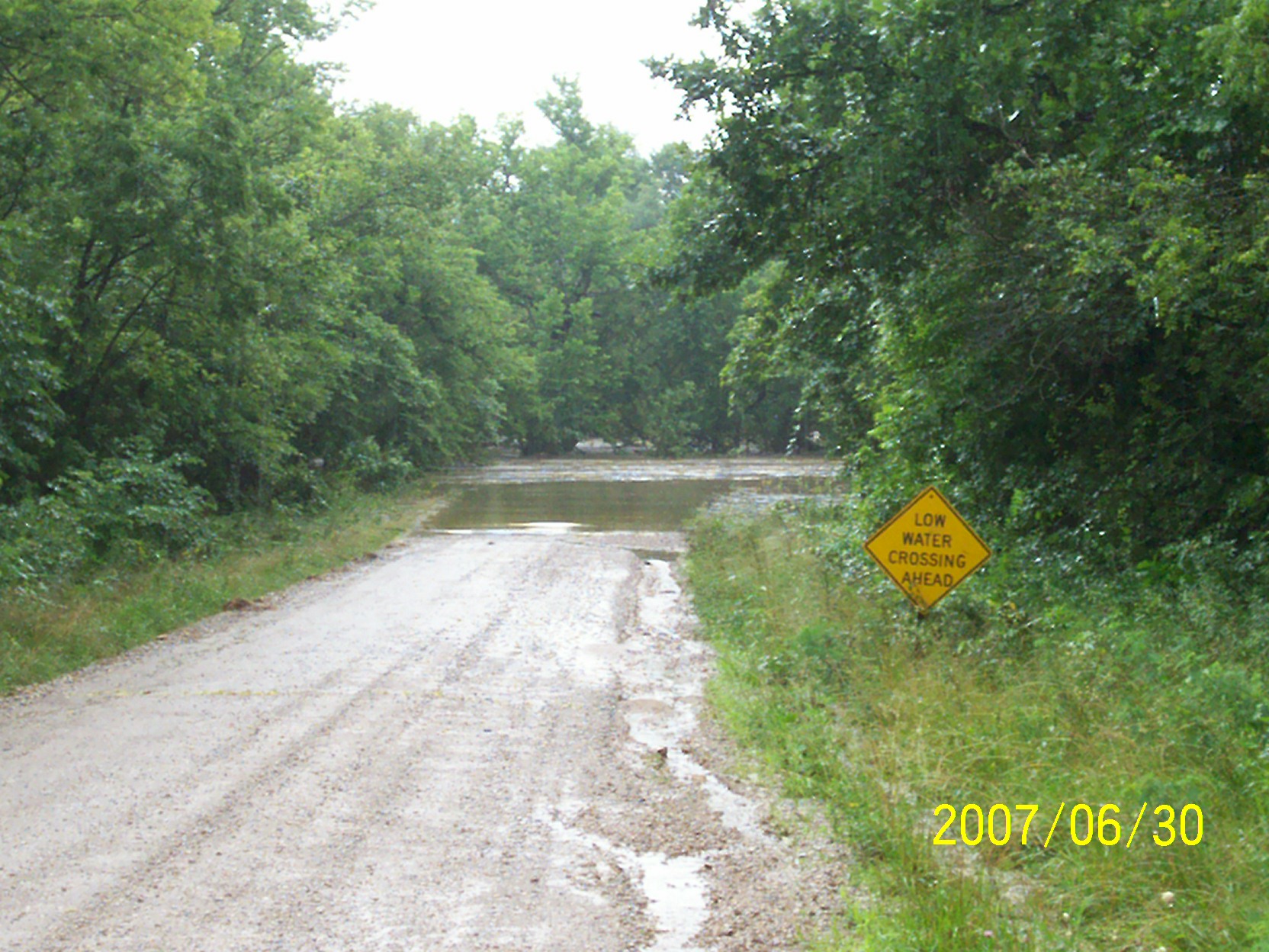
Along old Highway 54

Wind Mill on Highway 47
second day of flooding
second day of flooding

Grain Elevator at Fredonia
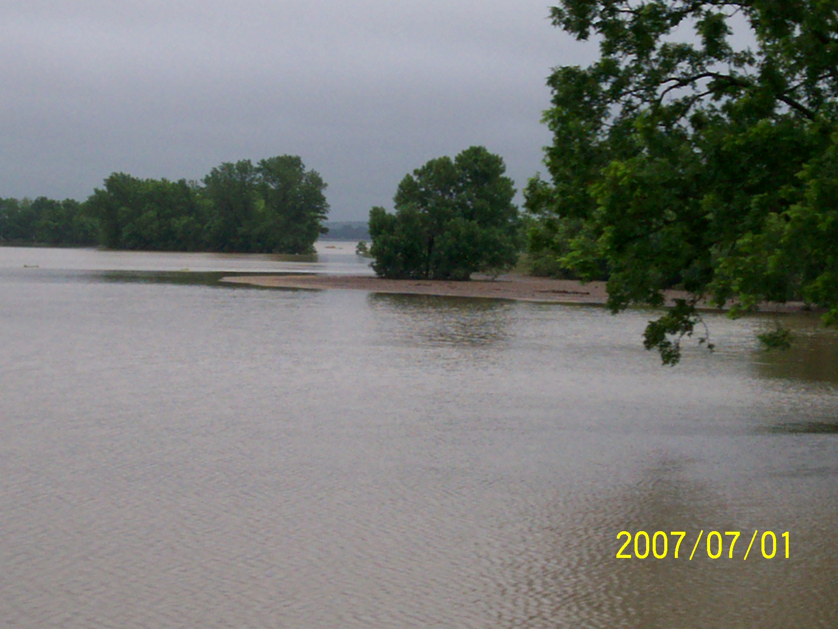
flood waters going down
first day of flooding

second day of flooding

Grain Elevator at Fredonia

Along old Highway 54
second day of flooding
second day of flooding
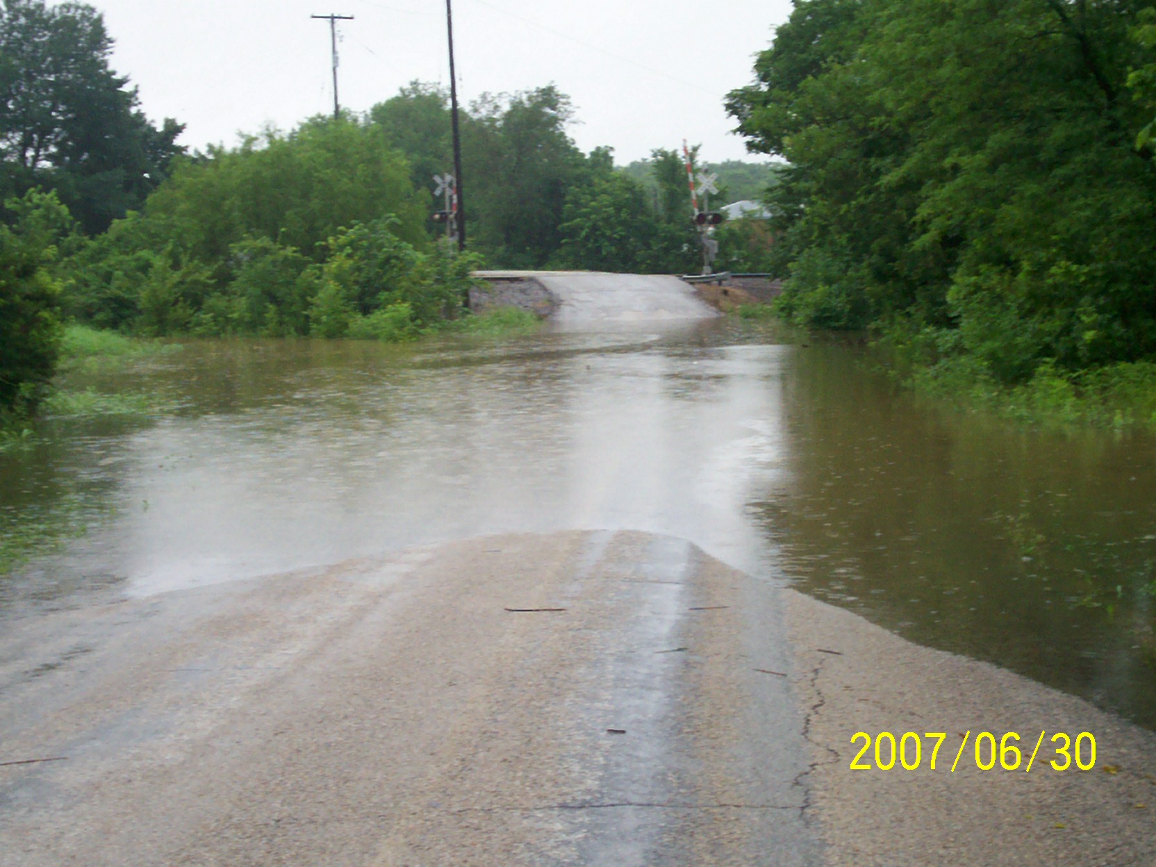
second day of flooding
Topographic Map of Fredonia, KS, USA
Find elevation by address:

Places in Fredonia, KS, USA:
Places near Fredonia, KS, USA:
N 7th St, Fredonia, KS, USA
The Edge
329 N 3rd St
Fredonia Junior Senior High School
303 Washington St
310 Washington St
310 Washington St
103 S 2nd St
103 Jefferson St
Fredonia Rotary Park
233 N 16th St
310 Madison St
Fredonia Outdoor Equipment
Center
Wilson County
8740 1500 Rd
Prairie
Porter Crop Insurance
9519 Marion Rd
Fall River
Recent Searches:
- Elevation of Corso Fratelli Cairoli, 35, Macerata MC, Italy
- Elevation of Tallevast Rd, Sarasota, FL, USA
- Elevation of 4th St E, Sonoma, CA, USA
- Elevation of Black Hollow Rd, Pennsdale, PA, USA
- Elevation of Oakland Ave, Williamsport, PA, USA
- Elevation of Pedrógão Grande, Portugal
- Elevation of Klee Dr, Martinsburg, WV, USA
- Elevation of Via Roma, Pieranica CR, Italy
- Elevation of Tavkvetili Mountain, Georgia
- Elevation of Hartfords Bluff Cir, Mt Pleasant, SC, USA