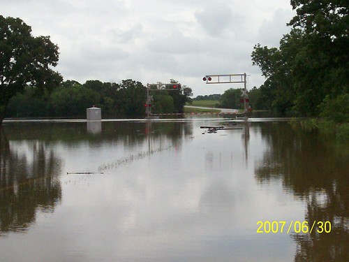
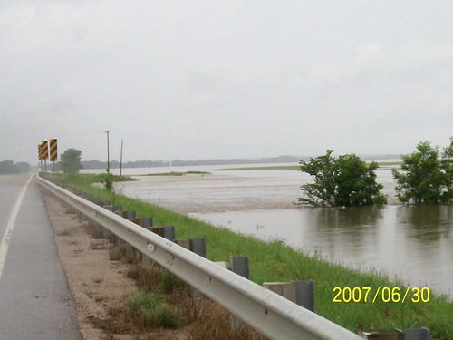
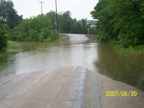
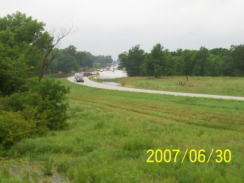
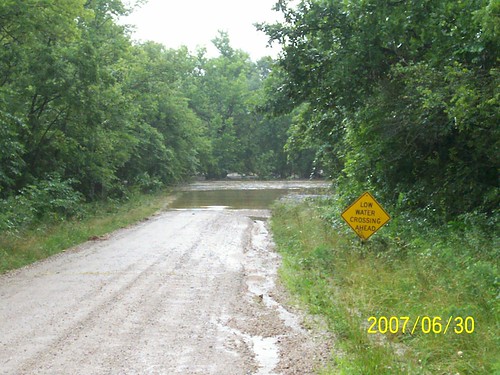
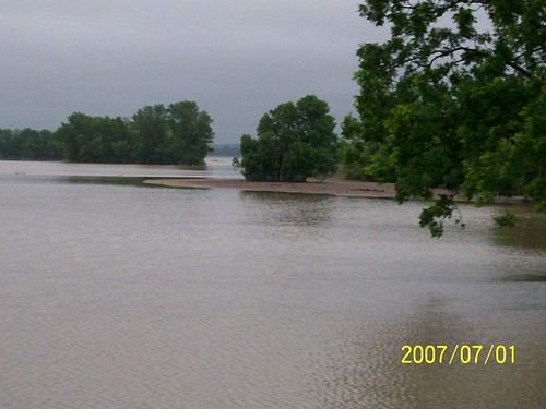
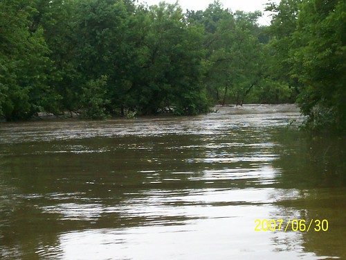
Elevation of Fredonia Rotary Park, -, Carney St, Fredonia, KS, USA
Location: United States > Kansas > Wilson County > Fredonia >
Longitude: -95.816323
Latitude: 37.5267949
Elevation: 275m / 902feet
Barometric Pressure: 98KPa
Related Photos:
Topographic Map of Fredonia Rotary Park, -, Carney St, Fredonia, KS, USA
Find elevation by address:

Places near Fredonia Rotary Park, -, Carney St, Fredonia, KS, USA:
233 N 16th St
Fredonia Junior Senior High School
N 7th St, Fredonia, KS, USA
Fredonia
The Edge
303 Washington St
310 Washington St
310 Washington St
329 N 3rd St
103 S 2nd St
103 Jefferson St
Center
310 Madison St
Fredonia Outdoor Equipment
Wilson County
8740 1500 Rd
Prairie
9519 Marion Rd
Porter Crop Insurance
Fall River
Recent Searches:
- Elevation of Corso Fratelli Cairoli, 35, Macerata MC, Italy
- Elevation of Tallevast Rd, Sarasota, FL, USA
- Elevation of 4th St E, Sonoma, CA, USA
- Elevation of Black Hollow Rd, Pennsdale, PA, USA
- Elevation of Oakland Ave, Williamsport, PA, USA
- Elevation of Pedrógão Grande, Portugal
- Elevation of Klee Dr, Martinsburg, WV, USA
- Elevation of Via Roma, Pieranica CR, Italy
- Elevation of Tavkvetili Mountain, Georgia
- Elevation of Hartfords Bluff Cir, Mt Pleasant, SC, USA
