Elevation of Main St, Buffalo, KS, USA
Location: United States > Kansas > Wilson County >
Longitude: -95.697343
Latitude: 37.7094196
Elevation: 285m / 935feet
Barometric Pressure: 98KPa
Elevation Map:
Satellite Map:
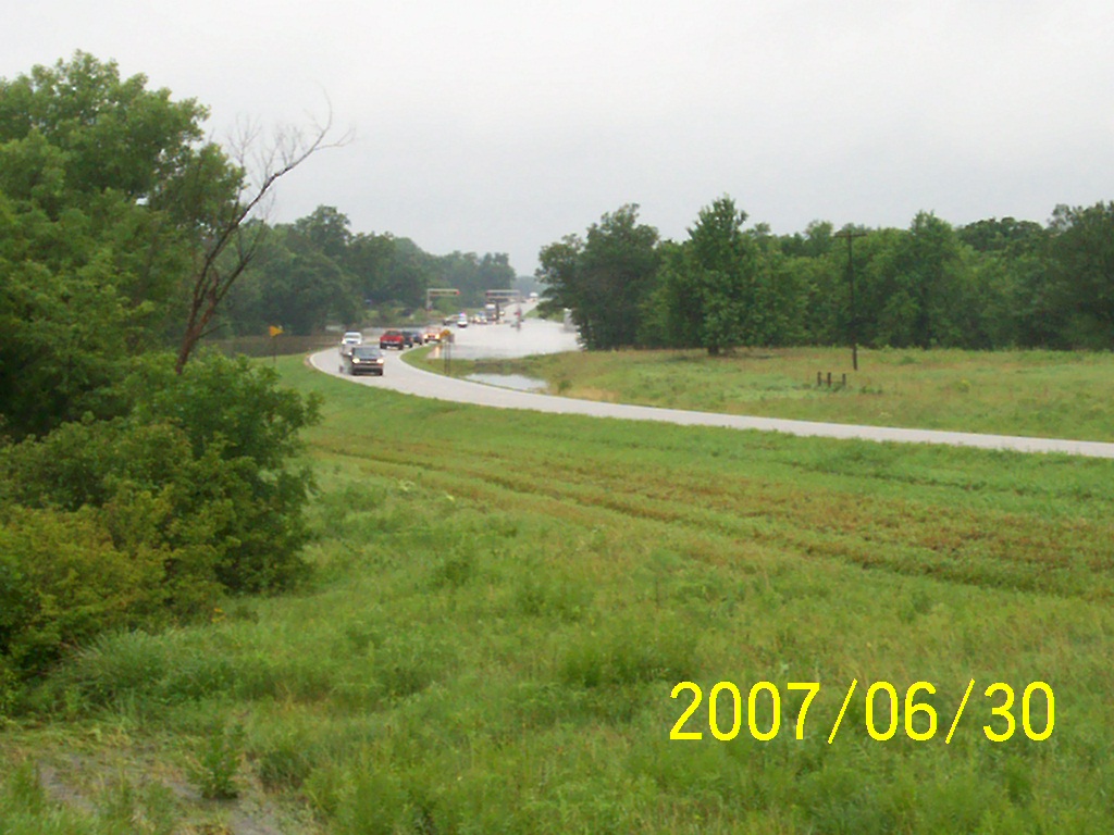
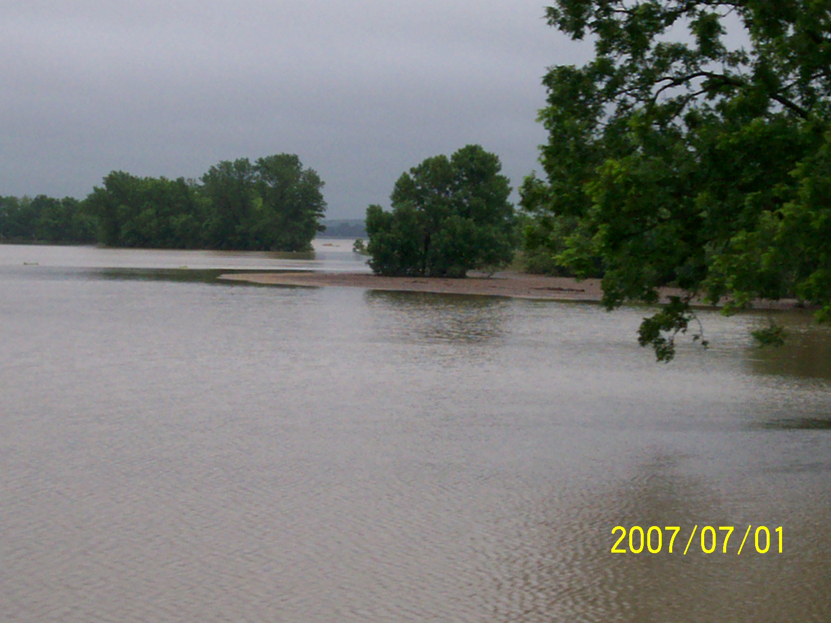
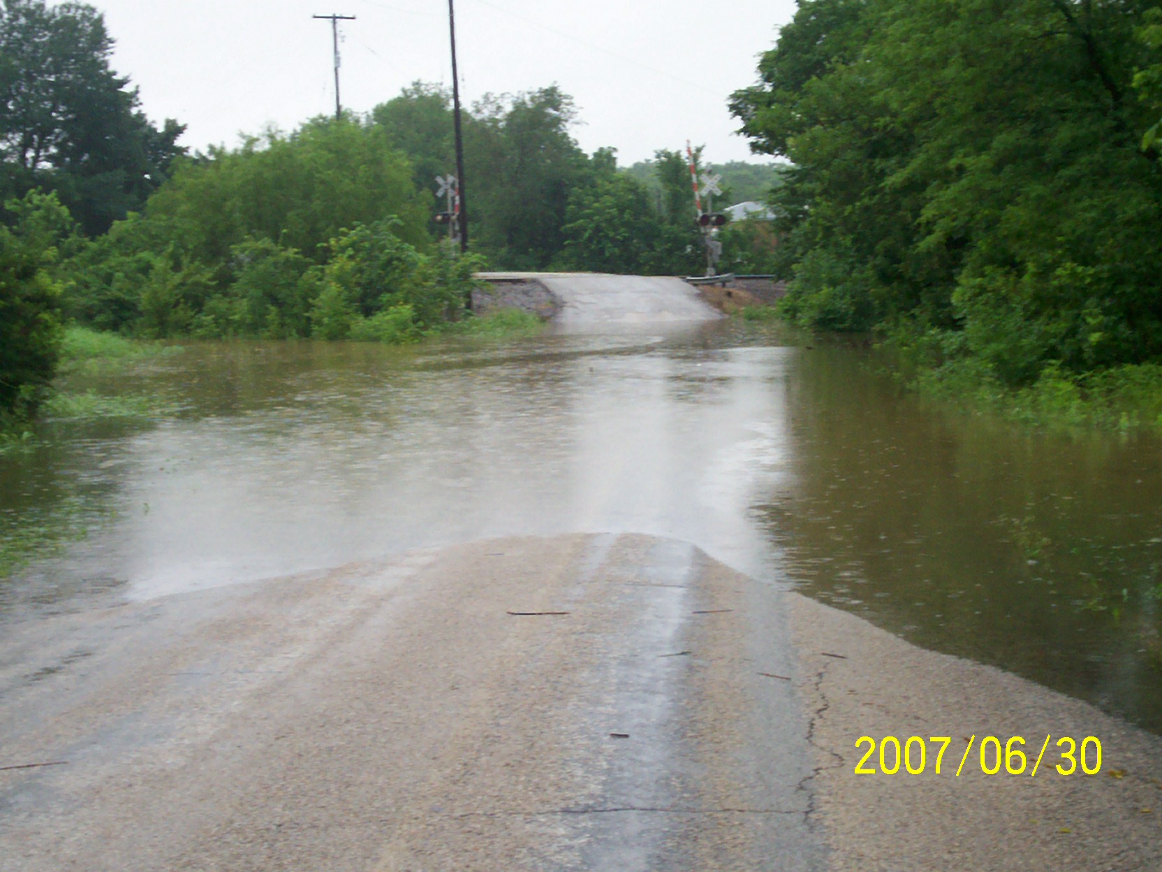
Related Photos:

More Dead Memories

John Milliron

Thomas J. Eagle
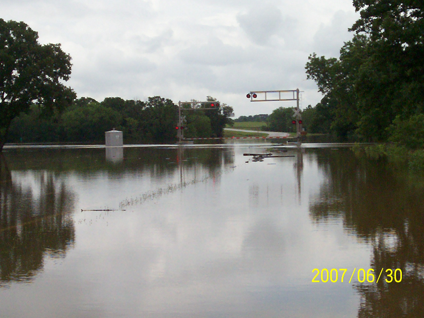
second day of flooding
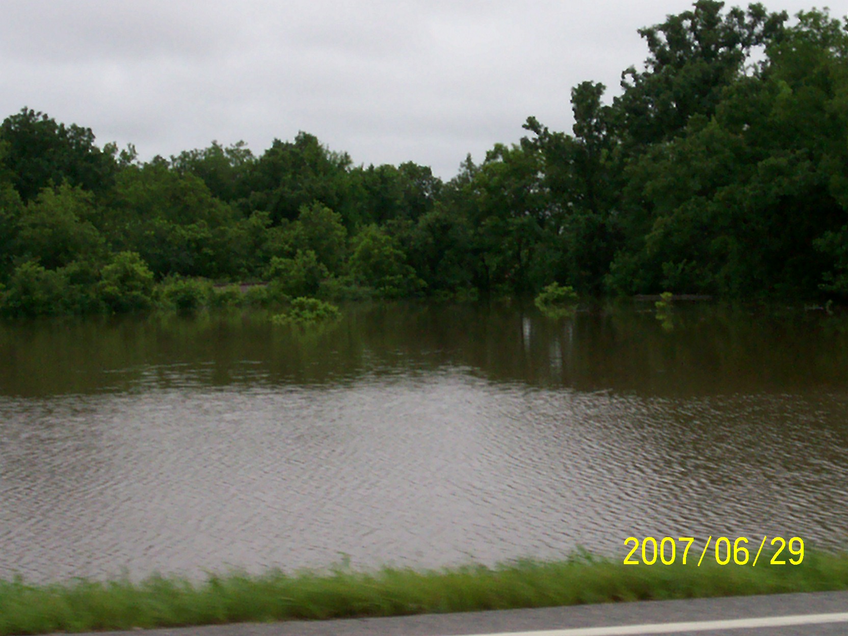
first day of flooding
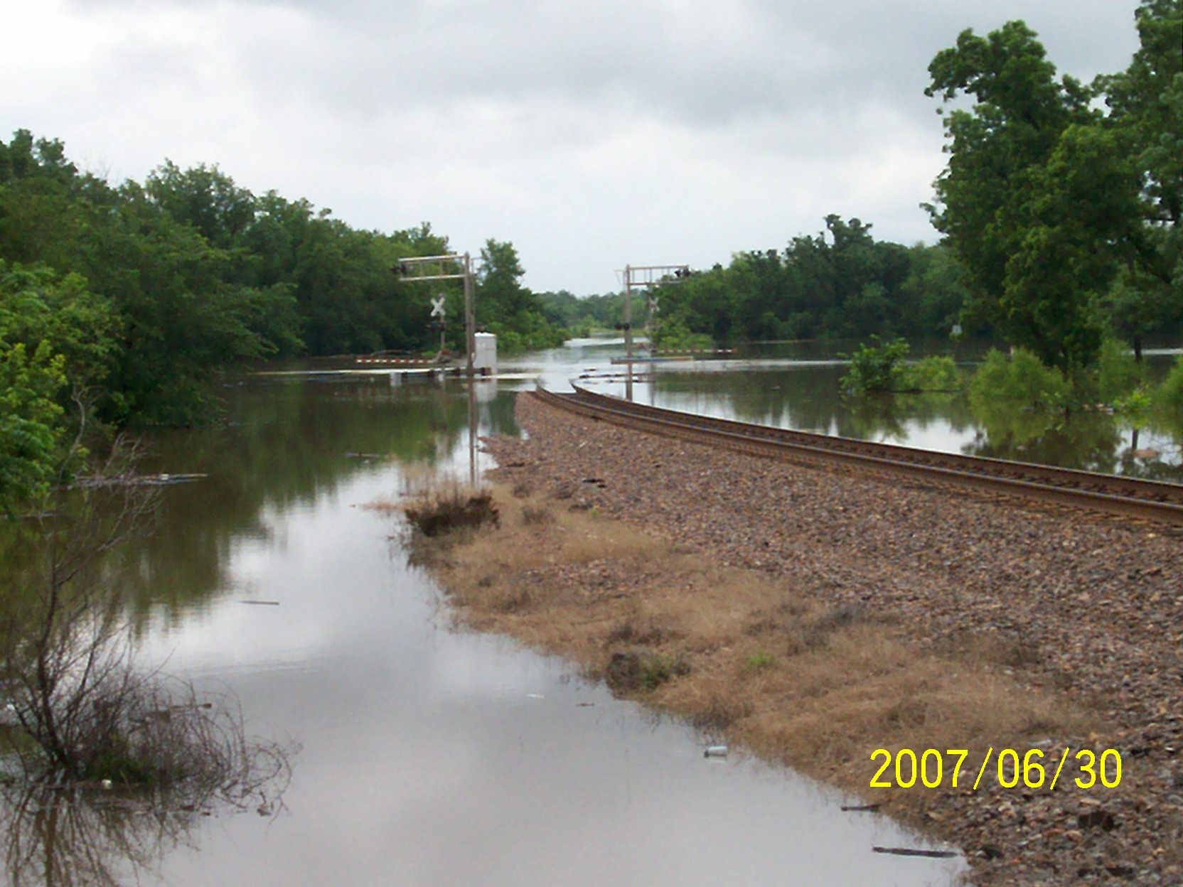
second day of flooding
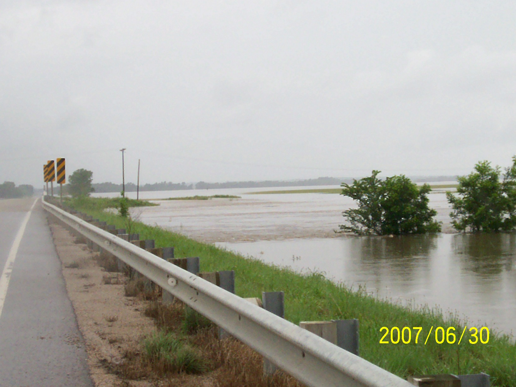
second day of flooding
second day of flooding
flood waters going down
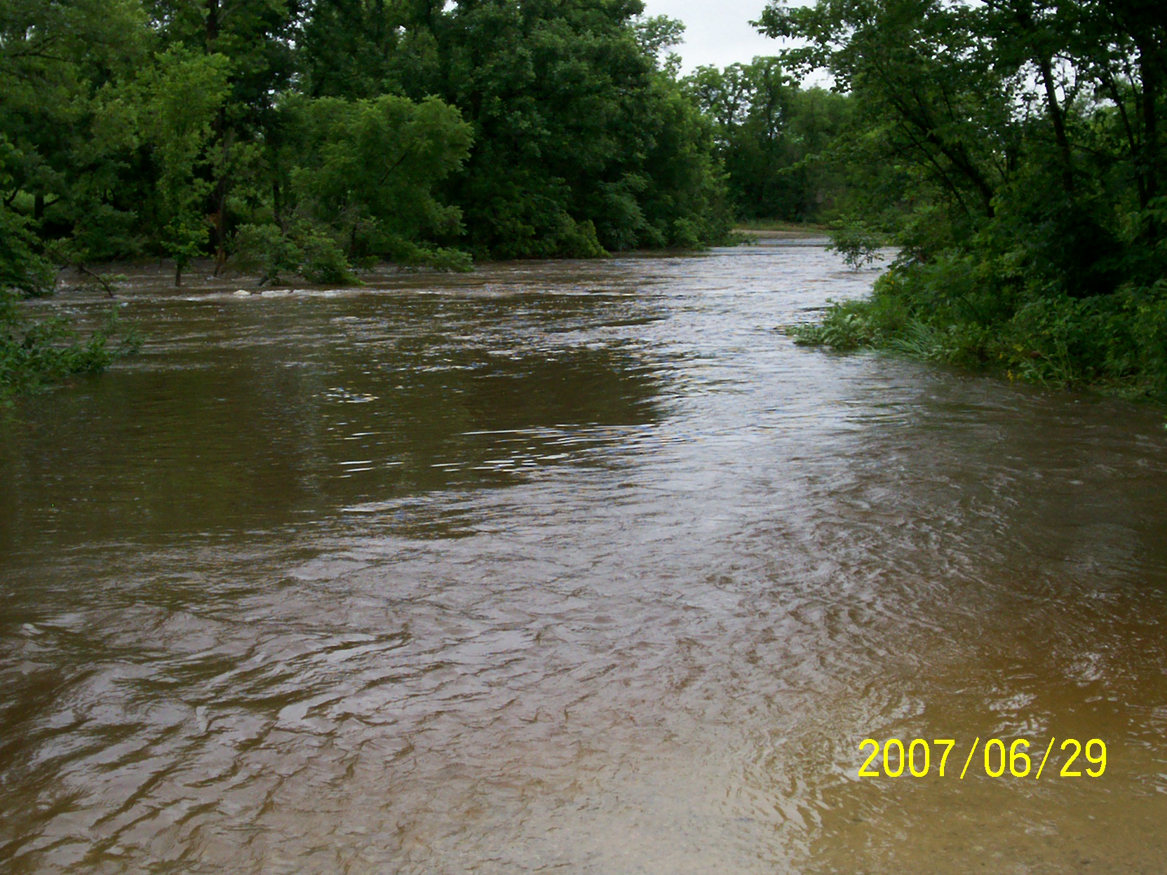
first day of flooding
second day of flooding
second day of flooding

second day of flooding

Aerial burning fields
Topographic Map of Main St, Buffalo, KS, USA
Find elevation by address:

Places near Main St, Buffalo, KS, USA:
Porter Crop Insurance
8740 1500 Rd
Wilson County
Yates Center
Prairie
W Rutledge St, Yates Center, KS, USA
9519 Marion Rd
Fredonia Outdoor Equipment
233 N 16th St
N 7th St, Fredonia, KS, USA
Fredonia Rotary Park
Fredonia
The Edge
Fredonia Junior Senior High School
329 N 3rd St
303 Washington St
310 Washington St
310 Washington St
103 S 2nd St
103 Jefferson St
Recent Searches:
- Elevation of Corso Fratelli Cairoli, 35, Macerata MC, Italy
- Elevation of Tallevast Rd, Sarasota, FL, USA
- Elevation of 4th St E, Sonoma, CA, USA
- Elevation of Black Hollow Rd, Pennsdale, PA, USA
- Elevation of Oakland Ave, Williamsport, PA, USA
- Elevation of Pedrógão Grande, Portugal
- Elevation of Klee Dr, Martinsburg, WV, USA
- Elevation of Via Roma, Pieranica CR, Italy
- Elevation of Tavkvetili Mountain, Georgia
- Elevation of Hartfords Bluff Cir, Mt Pleasant, SC, USA