Elevation of Greenwood County, KS, USA
Location: United States > Kansas >
Longitude: -96.152698
Latitude: 37.9025905
Elevation: 329m / 1079feet
Barometric Pressure: 97KPa
Elevation Map:
Satellite Map:
Related Photos:
Summer on Fall River _MG_2360R
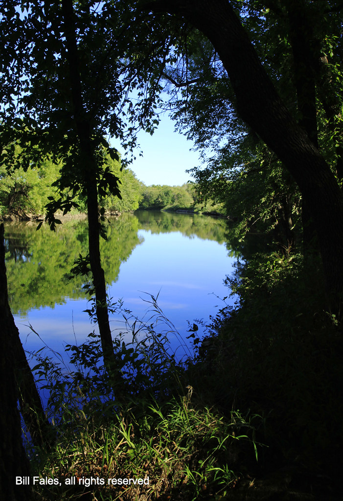
River Reflection _MG_7653R
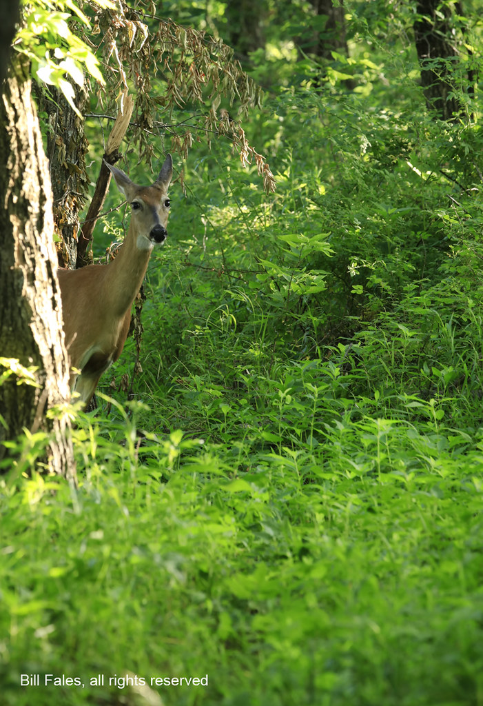
Curious Visitor _MG_1946R

Sunlit Wheat Field IMG_3555R
Autumn Color _MG_7410R
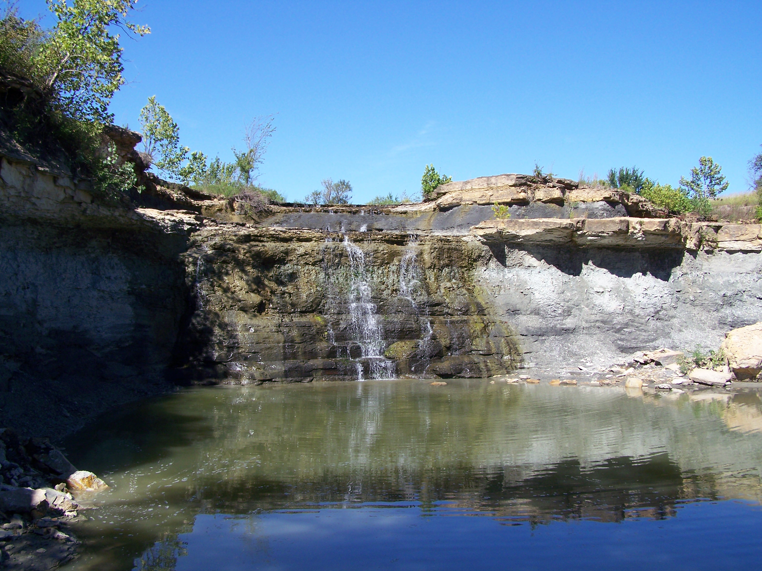
Spillway Eureka Lake
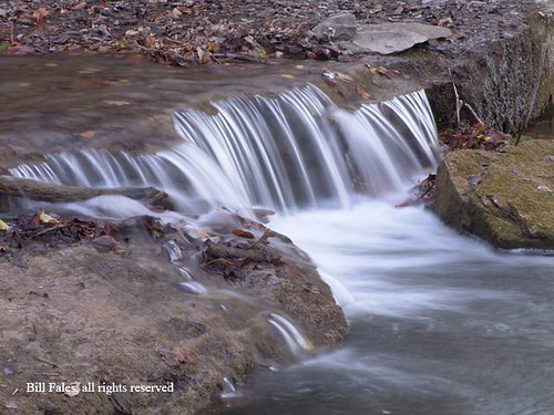
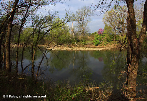
Fall River DSC08003R
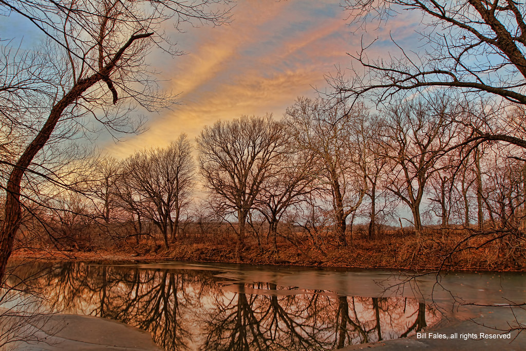
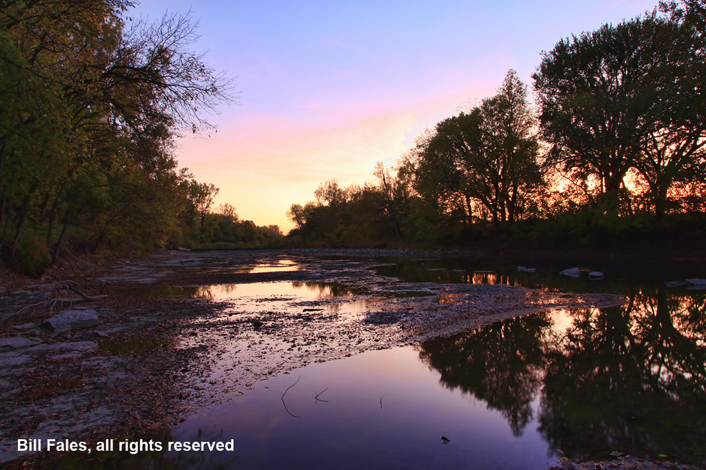
Sunrise Reflection R
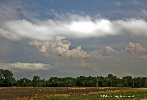
Forming Storm _MG_4289R

Rough Green Snake _MG_7663R
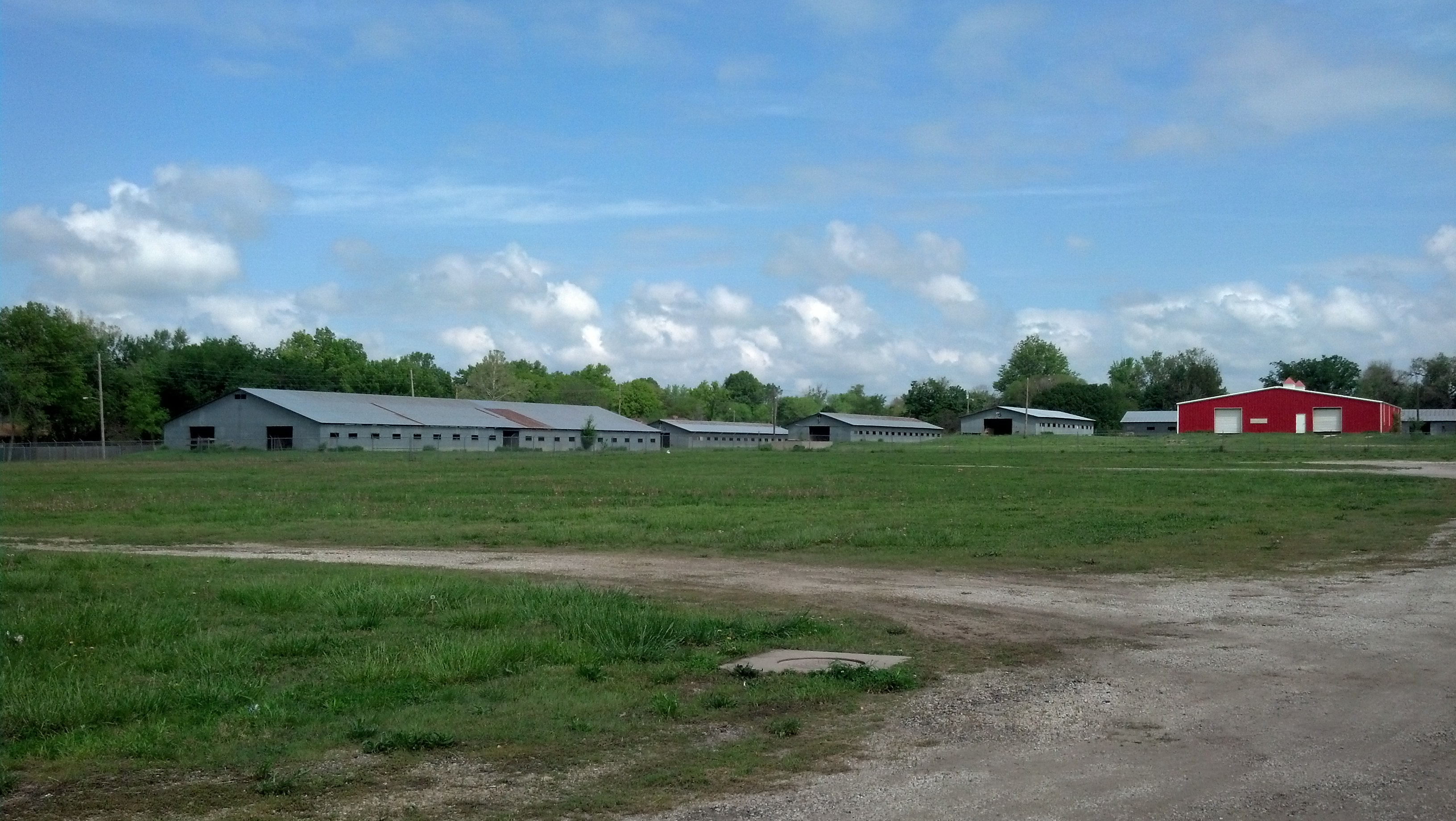
Eureka Downs
Topographic Map of Greenwood County, KS, USA
Find elevation by address:

Places in Greenwood County, KS, USA:
Places near Greenwood County, KS, USA:
Hamilton
Eureka
4th St, Climax, KS, USA
Climax
Fall River
Courtney's Places
Toronto
N Jackson St, Toronto, KS, USA
820 Coyote Rd
Salt Springs
Toronto
Fall River Lake
Twin Grove
Fall River, KS, USA
Martin Marietta - Blake Quarry
Severy
Fall River
Woodson County
802 9th St
Otter Creek
Recent Searches:
- Elevation of Corso Fratelli Cairoli, 35, Macerata MC, Italy
- Elevation of Tallevast Rd, Sarasota, FL, USA
- Elevation of 4th St E, Sonoma, CA, USA
- Elevation of Black Hollow Rd, Pennsdale, PA, USA
- Elevation of Oakland Ave, Williamsport, PA, USA
- Elevation of Pedrógão Grande, Portugal
- Elevation of Klee Dr, Martinsburg, WV, USA
- Elevation of Via Roma, Pieranica CR, Italy
- Elevation of Tavkvetili Mountain, Georgia
- Elevation of Hartfords Bluff Cir, Mt Pleasant, SC, USA