Elevation of Otter Creek, KS, USA
Location: United States > Kansas > Greenwood County >
Longitude: -96.450343
Latitude: 37.6750759
Elevation: 381m / 1250feet
Barometric Pressure: 97KPa
Elevation Map:
Satellite Map:
Related Photos:
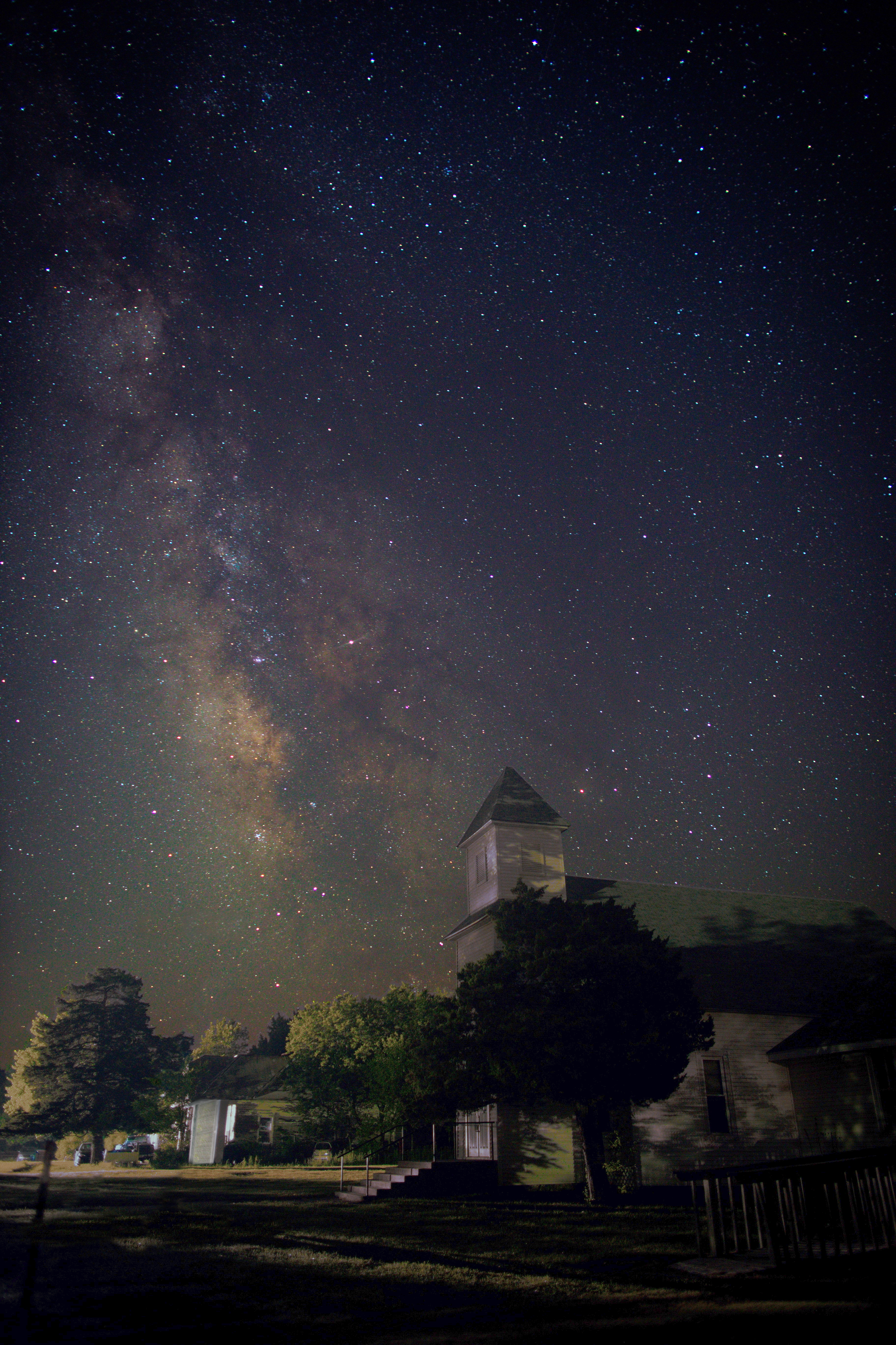
Milky Way Church

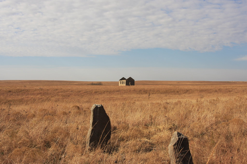
Old Rock Building
Tombstones by Little school/house/Church? on the prairie

Old Rock Building

Curious Bovine

Beaumont, Kansas

Old Rock Building

Old Rock Building

Old Rock Building

Wind Mills Near Beaumont

Old Rock Building

Old Rock Building

2013 Project 365 - 131

Old Rock Building

Old Rock Building

Old Rock Building

South of the Beaumont Rest Stop

Old Rock Building

Old Rock Building

Old Rock Building

Old Rock Building
Topographic Map of Otter Creek, KS, USA
Find elevation by address:

Places near Otter Creek, KS, USA:
Beaumont
SE Main St, Beaumont, KS, USA
Beaumont Hotel
802 9th St
Glencoe
Union
Eureka
Twin Grove
Martin Marietta - Blake Quarry
Severy
Climax
4th St, Climax, KS, USA
11509 Se Parallel St
Fall River
Latham
Cherry St, Latham, KS, USA
Howard
Harvey
E Elk St, Howard, KS, USA
th Rd, Cambridge, KS, USA
Recent Searches:
- Elevation of Corso Fratelli Cairoli, 35, Macerata MC, Italy
- Elevation of Tallevast Rd, Sarasota, FL, USA
- Elevation of 4th St E, Sonoma, CA, USA
- Elevation of Black Hollow Rd, Pennsdale, PA, USA
- Elevation of Oakland Ave, Williamsport, PA, USA
- Elevation of Pedrógão Grande, Portugal
- Elevation of Klee Dr, Martinsburg, WV, USA
- Elevation of Via Roma, Pieranica CR, Italy
- Elevation of Tavkvetili Mountain, Georgia
- Elevation of Hartfords Bluff Cir, Mt Pleasant, SC, USA