Elevation of County Road, County Rd, Broaddus, TX, USA
Location: United States > Texas > San Augustine County > Broaddus >
Longitude: -94.316821
Latitude: 31.2861827
Elevation: 69m / 226feet
Barometric Pressure: 100KPa
Elevation Map:
Satellite Map:
Related Photos:

Texas Forest Trail (San Augustine County, Texas)

Awesome landscape
Louisiana bound

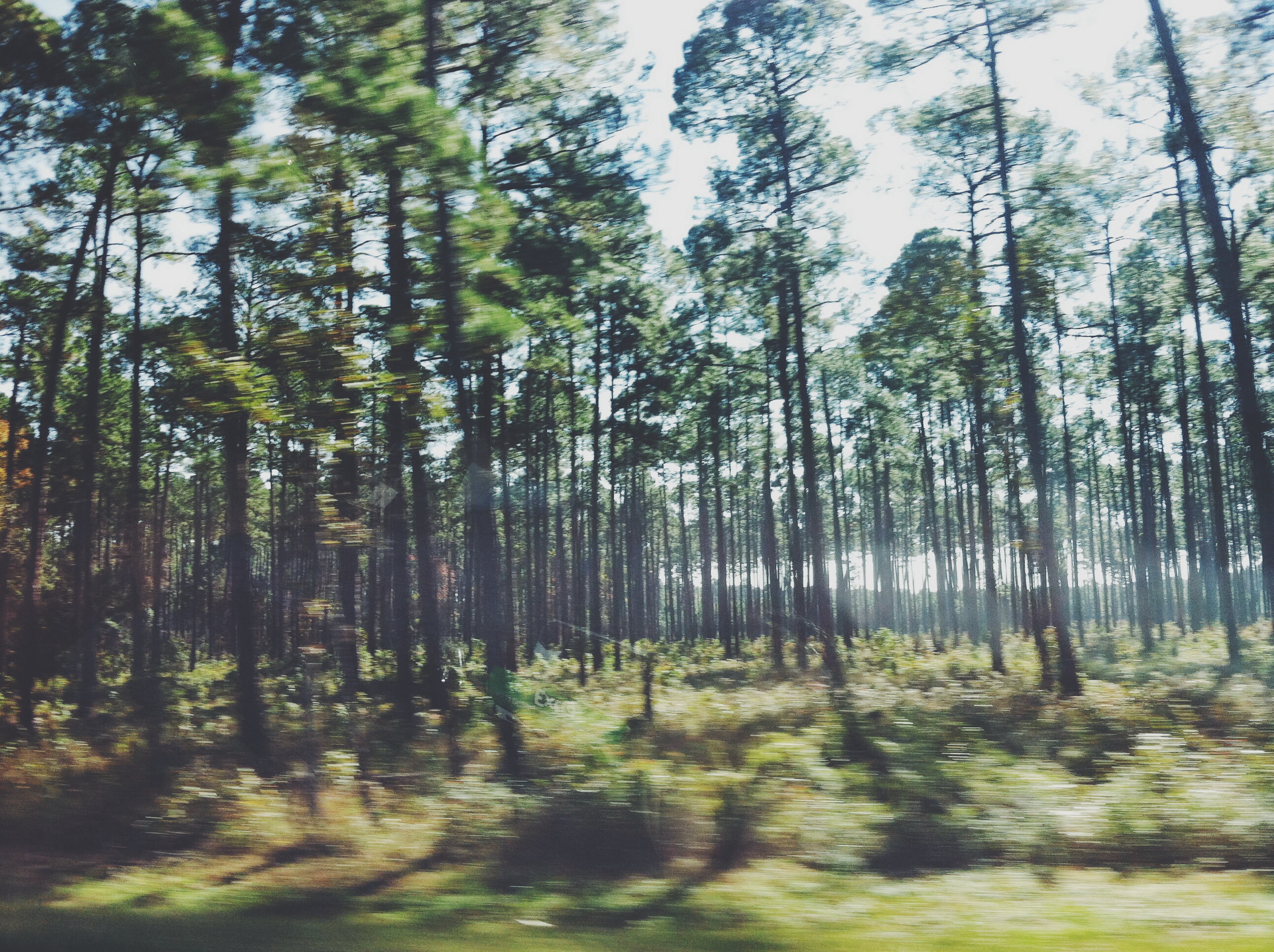
Angelina National Forest

Angelina National Forest

Angelina National Forest

Angelina National Forest

Angelina National Forest

Home again...Home again!

At the lake with my baby boy! #SamRayburn

Angelina National Forest

Sam Rayburn Reservoir, Broaddus, TX2

Sam Rayburn Reservoir, Broaddus, TX

Attoyac River
Topographic Map of County Road, County Rd, Broaddus, TX, USA
Find elevation by address:

Places near County Road, County Rd, Broaddus, TX, USA:
Jackson Hill Park
Broaddus
Lakeview Dr, Etoile, TX, USA
210 Flurry St
Sam Rayburn
437 Townsend St
141 Pine Acres Dr
Etoile
Zavalla
Co Rd, Chireno, TX, USA
352 Cotten Ln
2113 Cooper Rd
TX-, Huntington, TX, USA
Huntington, TX, USA
Harley Golden Rd, Huntington, TX, USA
4219 Harley Golden Rd
US-69, Zavalla, TX, USA
400 E Linn St
400 E Magnolia St
300 E Linn St
Recent Searches:
- Elevation of Corso Fratelli Cairoli, 35, Macerata MC, Italy
- Elevation of Tallevast Rd, Sarasota, FL, USA
- Elevation of 4th St E, Sonoma, CA, USA
- Elevation of Black Hollow Rd, Pennsdale, PA, USA
- Elevation of Oakland Ave, Williamsport, PA, USA
- Elevation of Pedrógão Grande, Portugal
- Elevation of Klee Dr, Martinsburg, WV, USA
- Elevation of Via Roma, Pieranica CR, Italy
- Elevation of Tavkvetili Mountain, Georgia
- Elevation of Hartfords Bluff Cir, Mt Pleasant, SC, USA