Elevation of US-69, Zavalla, TX, USA
Location: United States > Texas > Angelina County > Zavalla >
Longitude: -94.430092
Latitude: 31.075249
Elevation: 50m / 164feet
Barometric Pressure: 101KPa
Elevation Map:
Satellite Map:
Related Photos:
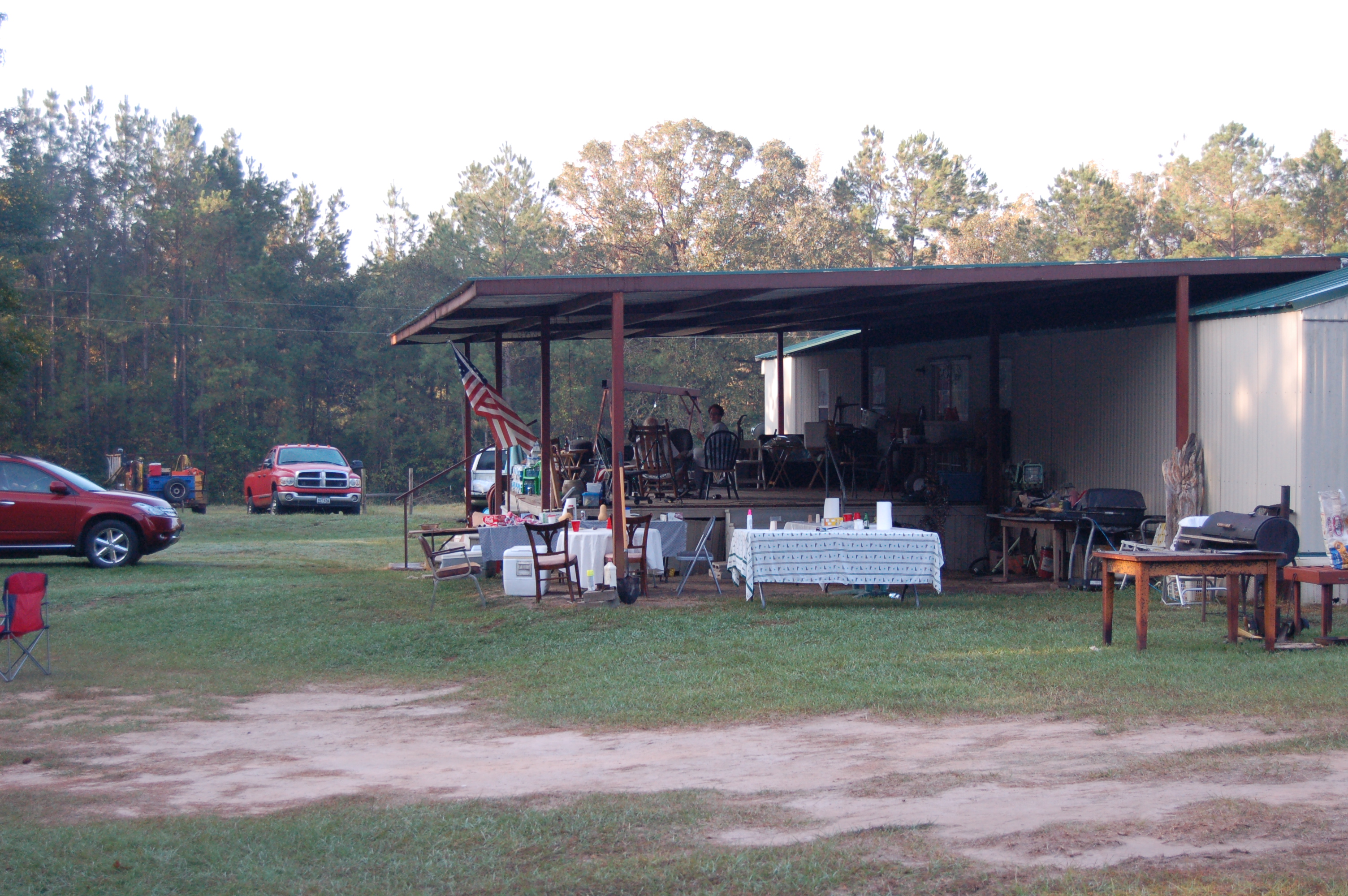
DSC_4866
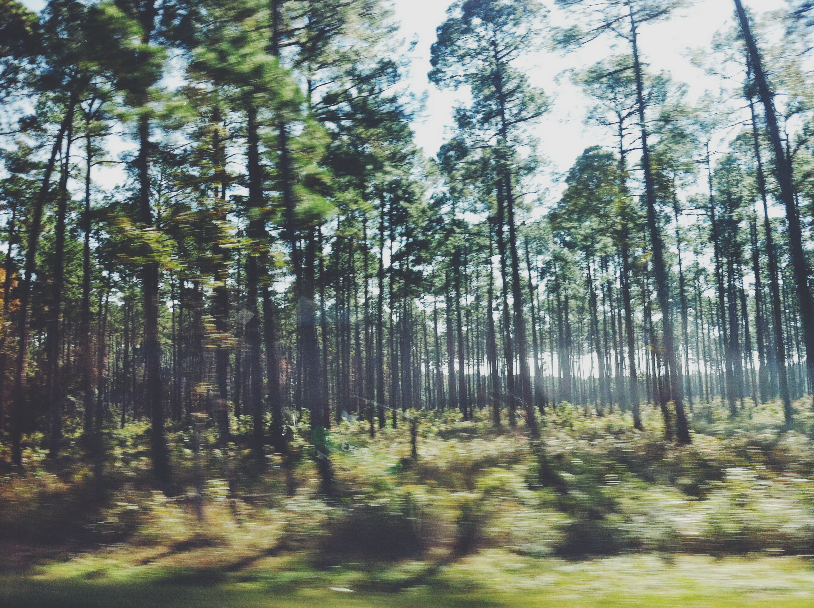
Louisiana bound

Celithemis amanda, Amanda’s Pennant
Boykin Springs 2.2
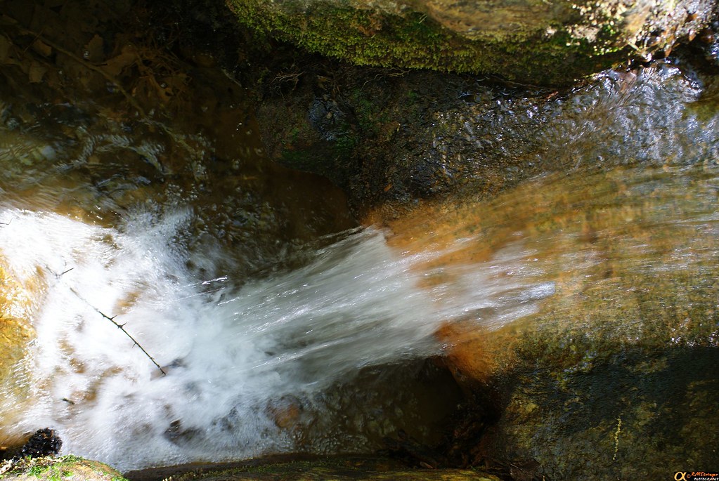
Boykin Springs 2.0
Camping in the Upland Island Wilderness
Boykin Springs 2.7

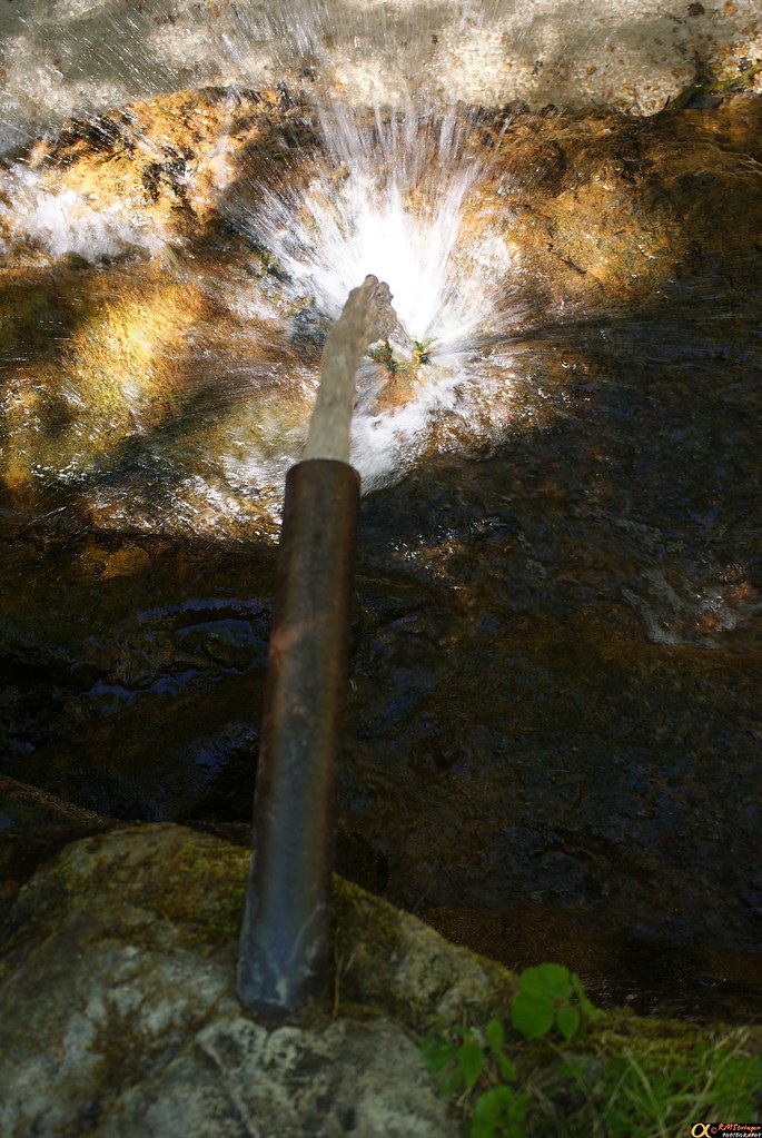
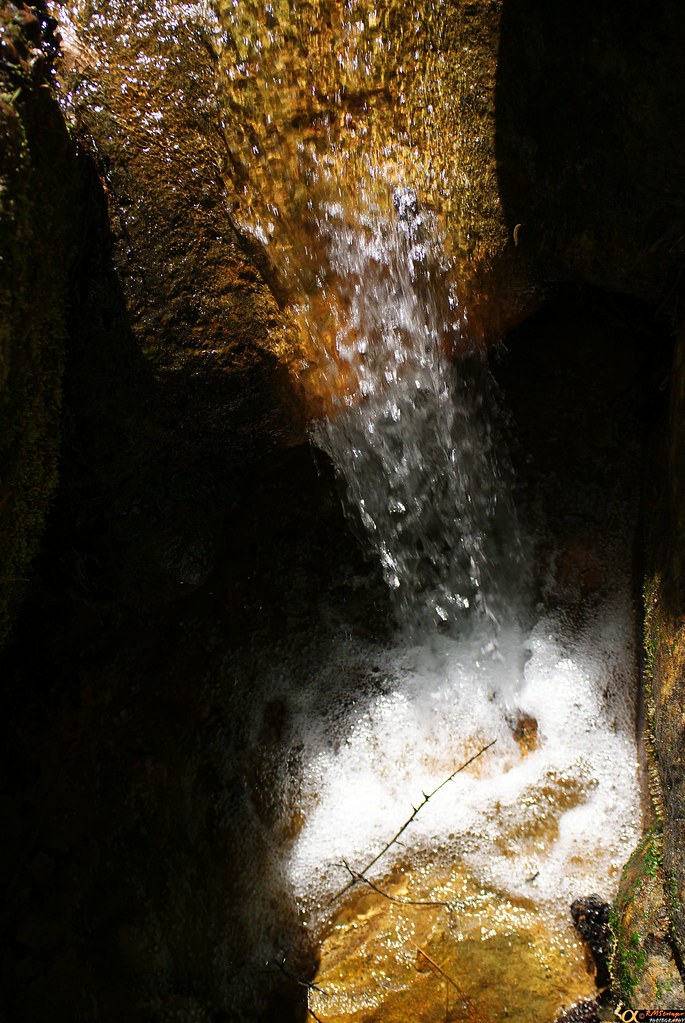
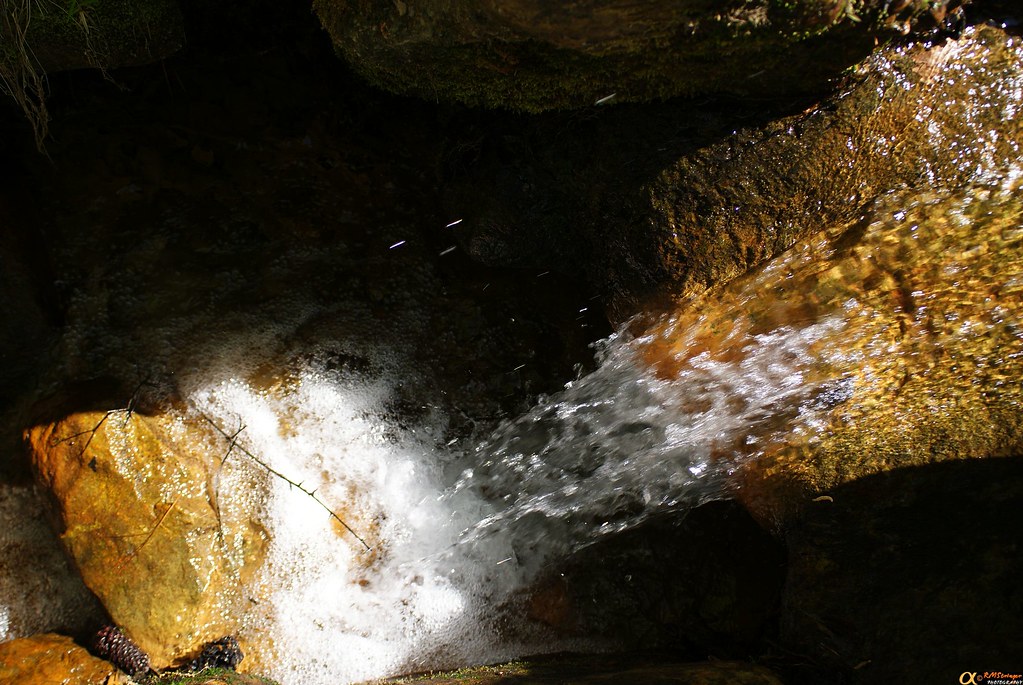
IR Waterfall 1.1

Boykin Springs 2.10
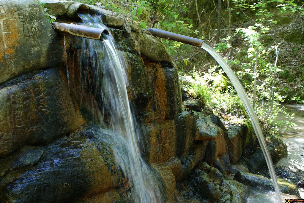
Boykin Springs 2.12
Boykin Springs 2.8
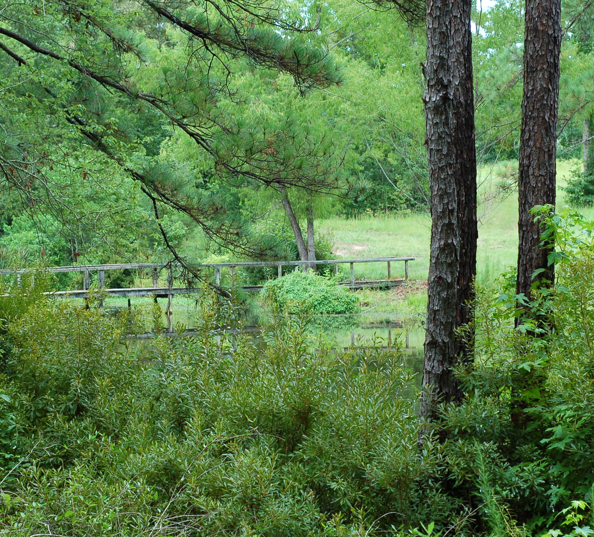
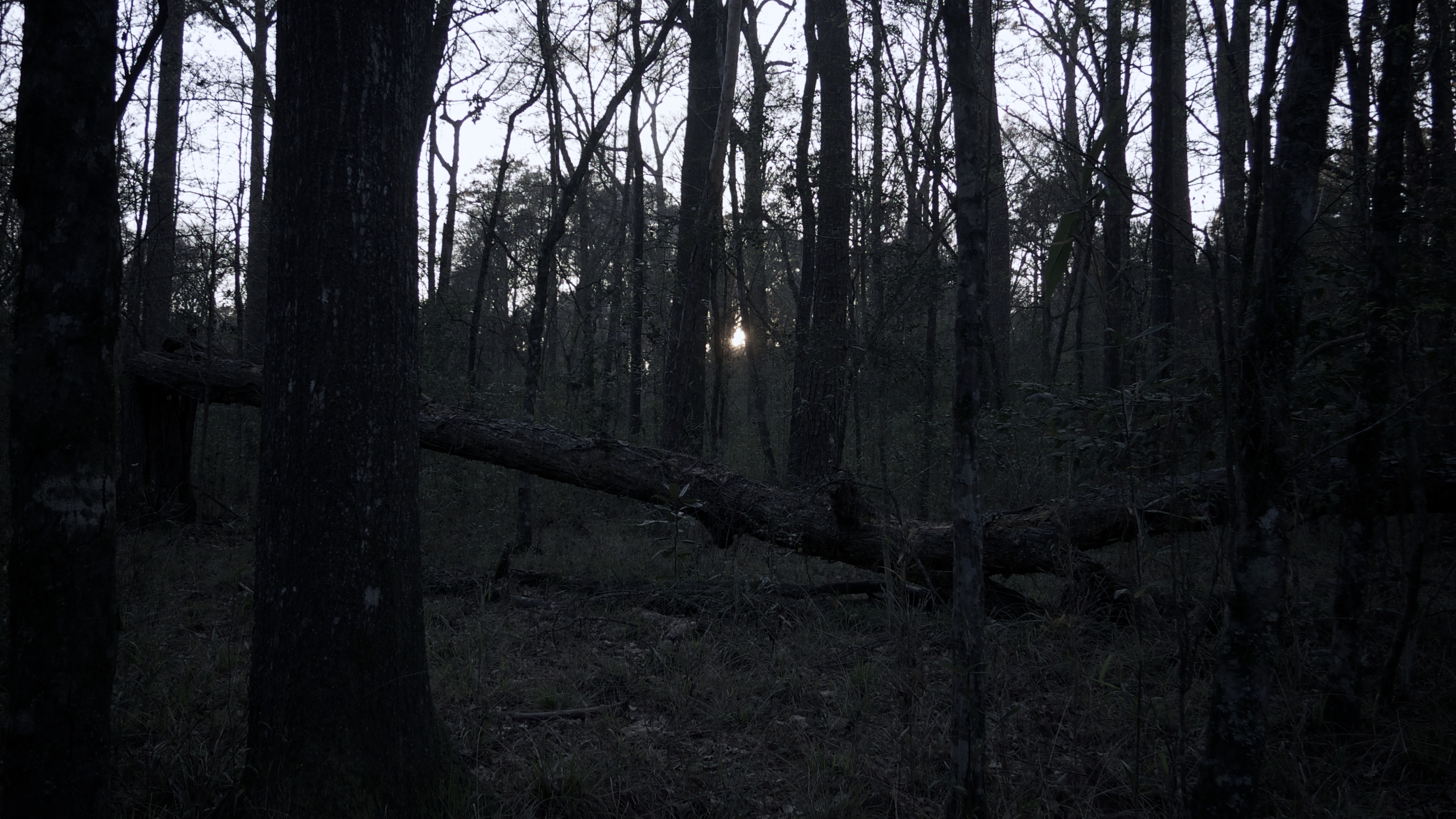
pineywoods of East Texas
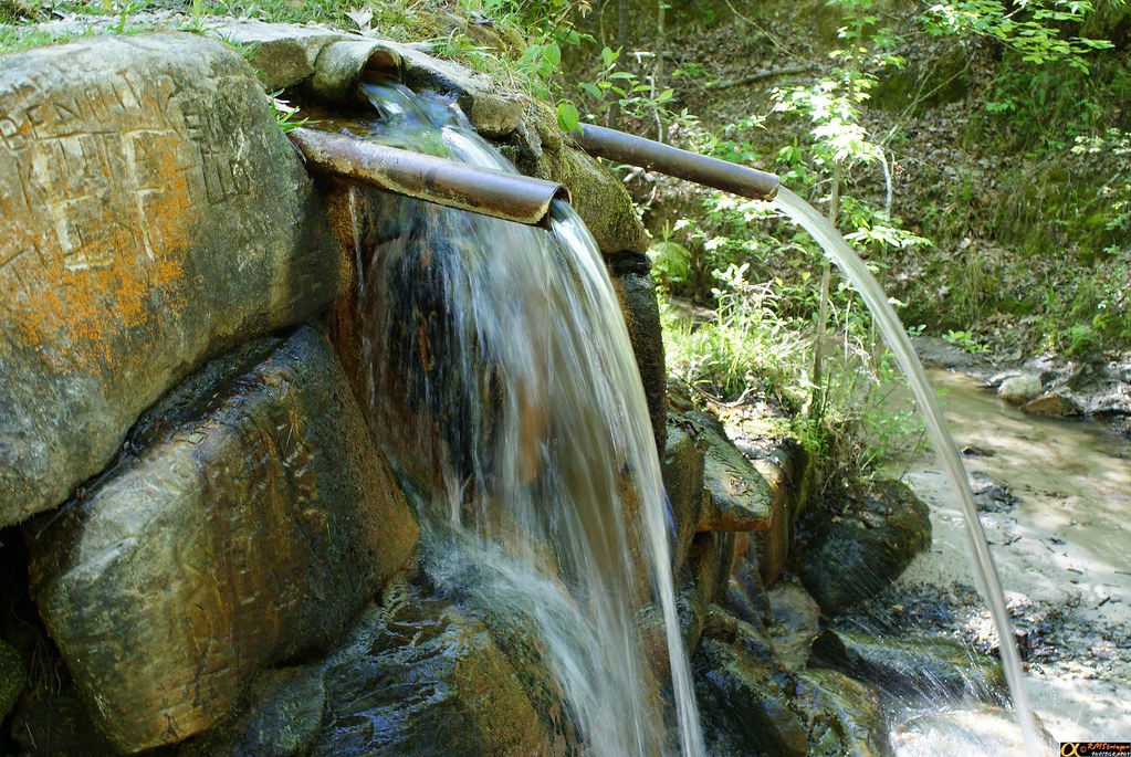
Boykin Springs 2.3
Boykin Springs 2.1
Topographic Map of US-69, Zavalla, TX, USA
Find elevation by address:

Places near US-69, Zavalla, TX, USA:
352 Cotten Ln
2113 Cooper Rd
Zavalla
437 Townsend St
210 Flurry St
Co Rd, Colmesneil, TX, USA
Sam Rayburn
141 Pine Acres Dr
Jackson Hill Park
1320 Co Rd 20
County Road 3462
Lakeview Dr, Etoile, TX, USA
400 E Magnolia St
400 E Linn St
305 E Magnolia St
303 E Magnolia St
300 E Magnolia St
300 E Linn St
Huntington
200 E Magnolia St
Recent Searches:
- Elevation of Corso Fratelli Cairoli, 35, Macerata MC, Italy
- Elevation of Tallevast Rd, Sarasota, FL, USA
- Elevation of 4th St E, Sonoma, CA, USA
- Elevation of Black Hollow Rd, Pennsdale, PA, USA
- Elevation of Oakland Ave, Williamsport, PA, USA
- Elevation of Pedrógão Grande, Portugal
- Elevation of Klee Dr, Martinsburg, WV, USA
- Elevation of Via Roma, Pieranica CR, Italy
- Elevation of Tavkvetili Mountain, Georgia
- Elevation of Hartfords Bluff Cir, Mt Pleasant, SC, USA