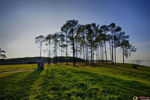
Latitude: 31.1227791
Longitude: -94.3998895
Elevation: 75 meters / 246 feet
Barometric Pressure 1004KPa

Related Photos

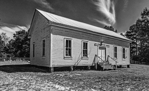
Mt. Zion Baptist Church and Cemetery by mikeschaffnerphotography.com, I call the Mt. Zion Baptist Church and Cemetery "abandoned" with some hesitation as it app
Mt. Zion Baptist Church and Cemetery by mikeschaffnerphotography.com
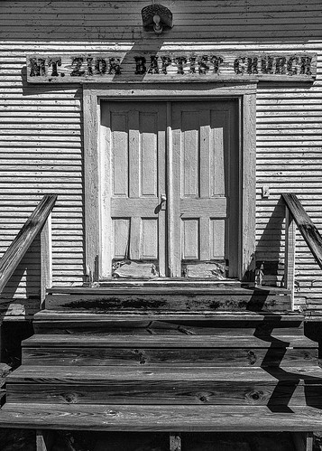
The Doors To Mt. Zion by mikeschaffnerphotography.com, I call the Mt. Zion Baptist Church and Cemetery "abandoned" with some hesitation as it app
The Doors To Mt. Zion by mikeschaffnerphotography.com
Forest Reflction Abstract by mikeschaffnerphotography.com, As always, your faves and comments are appreciated.  Constructive criticism and suggestions are espe
Forest Reflction Abstract by mikeschaffnerphotography.com
Abandoned Railroad Trestle, East of Hwy 69, Zavalla, Texas 0114121430 by Patrick Feller, Southern Pacific Rockland Branchwooden timber trestle abandoned railroad train easttexas zavalla tex
Abandoned Railroad Trestle, East of Hwy 69, Zavalla, Texas 0114121430 by Patrick Feller
Ayish Bayou at Lake Sam Rayburn by Texas Exposur, Ayish Bayou is a river that begins about seven miles north of San Augustine in northern San Augustin
Ayish Bayou at Lake Sam Rayburn by Texas Exposur
Bald Cypress color change At Ayish Bayou by Texas Exposur, You can see the low water level. Look at the Cypress and see the space under the trees to the water
Bald Cypress color change At Ayish Bayou by Texas Exposur
HDR 1.3 by RMStringer, HDR Photography created using the Dynamic-Photo HDR program. © RMStringer Photographysky clouds lake
HDR 1.3 by RMStringer
Lake Sam Rayburn HDR 1.1 by RMStringer, HDR Photography created using the Dynamic-Photo HDR program. © RMStringer Photographylakesamrayburn
Lake Sam Rayburn HDR 1.1 by RMStringer
DSC07280 by RMStringer, Old abandoned trash dump. Looking at the different layers in the sand and clay. Minolta 50mm f/1.7 P
DSC07280 by RMStringer
Lake Sam Rayburn HDR 1.2 by RMStringer, HDR Photography created using the Dynamic-Photo HDR program. © RMStringer Photographylakesamrayburn
Lake Sam Rayburn HDR 1.2 by RMStringer
Texas Forest Trail (San Augustine County, Texas) by courthouselover, Broaddus, Texas is a small community located near Sam Rayburn Reservoir in southern San Augustine Co
Texas Forest Trail (San Augustine County, Texas) by courthouselover
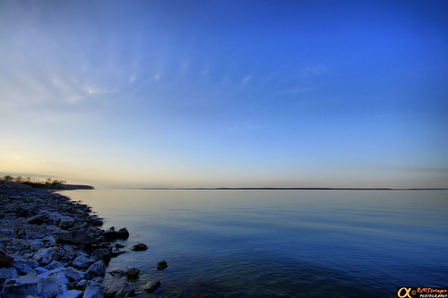
Lake Sam Rayburn HDR 1.0 by RMStringer, HDR Photography created using the Dynamic-Photo HDR program. © RMStringer Photographylakesamrayburn
Lake Sam Rayburn HDR 1.0 by RMStringer
Spill Way. by RMStringer, Sam Rayburn Lake.
RMStringersky clouds camphone texas schneiderkreuznach lakesamrayburn mobilephotog
Spill Way. by RMStringer
DSC04152 by RMStringer, July 4th Sunset! Taken from Rattlesnake Island, Lake Sam Rayburn Texas! © RMStringer Photography

Ex
DSC04152 by RMStringer
DSC07282 by RMStringer, Old abandoned trash dump. Looking at the different layers in the sand and clay. Minolta 50mm f/1.7 P
DSC07282 by RMStringer
DSC07281 by RMStringer, Old abandoned trash dump. Looking at the different layers in the sand and clay. Minolta 50mm f/1.7 P
DSC07281 by RMStringer
DSC04207 by RMStringer, July 4th Sunset! Taken from Rattlesnake Island, Lake Sam Rayburn Texas! © RMStringer Photographysuns
DSC04207 by RMStringer
Camping in the Upland Island Wilderness by rogerwshaw, camping sunset dusk forests angelinanationalforest uplandislandwilderness angelinanf
Camping in the Upland Island Wilderness by rogerwshaw
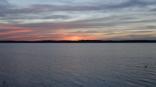
Sam Rayburn Reservoir, Broaddus, TX by chfstew, Broaddus, TX (San Augustine County)chfstew texas txsanaugustinecounty landscape sunset
Sam Rayburn Reservoir, Broaddus, TX by chfstew
BAM2017-176 by rthrelkeld, war sca ansteorra bordermarche rams colmesneil texas unitedstates us
BAM2017-176 by rthrelkeld
Not a bad view early in the morn! #Lake by Mish Mish, square squareformat iphoneography instagramapp uploaded:by=instagram foursquare:venue=4f774e21e4b09a
Not a bad view early in the morn! #Lake by Mish Mish
DSC_4866 by LuTatum, view from the tentsjofest jofest2008
DSC_4866 by LuTatum