Elevation of County Road, Co Rd, Prairie Township, AR, USA
Location: United States > Arkansas > Johnson County > Ward Township > Hartman >
Longitude: -93.574921
Latitude: 35.4454215
Elevation: 148m / 486feet
Barometric Pressure: 100KPa
Elevation Map:
Satellite Map:
Related Photos:

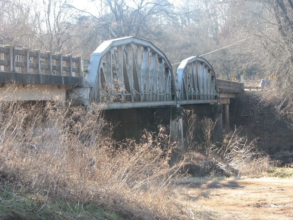
Mystery Bridge-Deck View

Spadra Creek

Side View-Horsehead Creek

US 64-Horsehead Creek-Side View
US 64-Horsehead Creek Side View-Close

North Street view

Arkansas River Valley Landscape (Johnson County, Arkansas)

Spot of orange (3765a)

Scranton, Arkansas

20151007_184203_Richtone(HDR)
Topographic Map of County Road, Co Rd, Prairie Township, AR, USA
Find elevation by address:

Places near County Road, Co Rd, Prairie Township, AR, USA:
Prairie Township
Co Rd, Hartman, AR, USA
Co Rd, Hartman, AR, USA
Ward Township
Hartman
Burlison St, Hartman, AR, USA
Co Rd, Clarksville, AR, USA
River Township
4473 Cottontown Rd
AR-, Scranton, AR, USA
Scranton
US-64, Coal Hill, AR, USA
Grant Township
Coal Hill
1314 Co Rd 3020
Parks Rd, Scranton, AR, USA
8537 Us-64
Alix Township
E Church St, Altus, AR, USA
1700 St Marys Mountain Rd
Recent Searches:
- Elevation of Corso Fratelli Cairoli, 35, Macerata MC, Italy
- Elevation of Tallevast Rd, Sarasota, FL, USA
- Elevation of 4th St E, Sonoma, CA, USA
- Elevation of Black Hollow Rd, Pennsdale, PA, USA
- Elevation of Oakland Ave, Williamsport, PA, USA
- Elevation of Pedrógão Grande, Portugal
- Elevation of Klee Dr, Martinsburg, WV, USA
- Elevation of Via Roma, Pieranica CR, Italy
- Elevation of Tavkvetili Mountain, Georgia
- Elevation of Hartfords Bluff Cir, Mt Pleasant, SC, USA