Elevation of AR-, Scranton, AR, USA
Location: United States > Arkansas > Logan County > River Township > Scranton >
Longitude: -93.534826
Latitude: 35.3626239
Elevation: 113m / 371feet
Barometric Pressure: 100KPa
Elevation Map:
Satellite Map:
Related Photos:
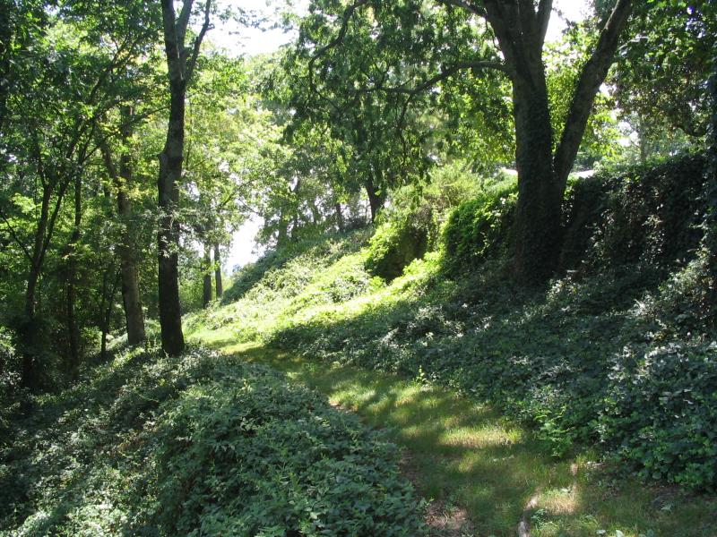
Spadra Creek

view from my room
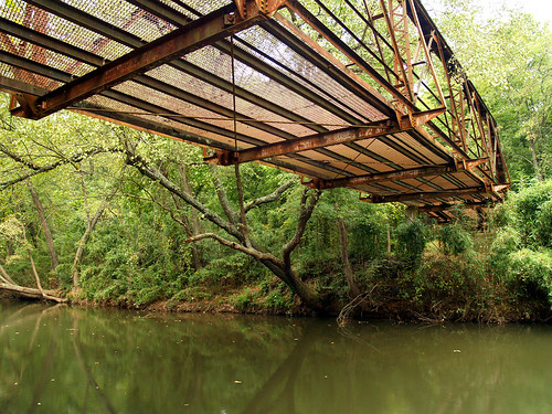
Little Shoal Creek-Deck View
So Many Dragons
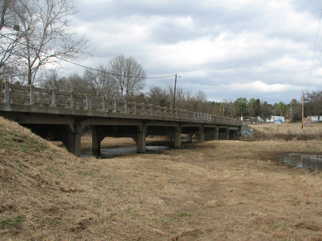
Little Shoal Creek-Side View
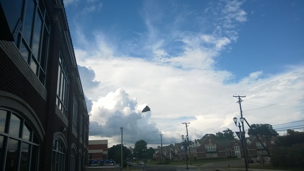
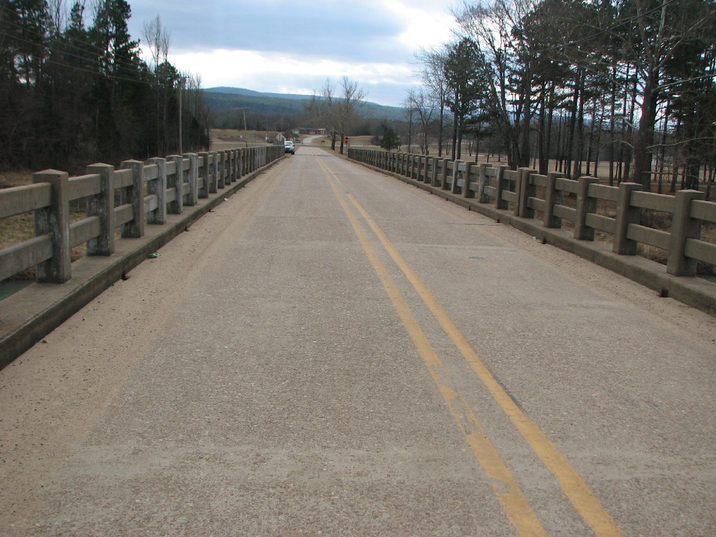
North Street view
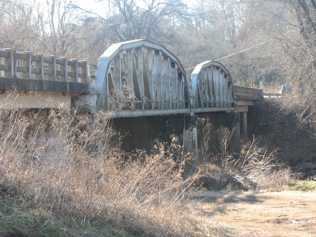
US 64-Horsehead Creek Side View-Close
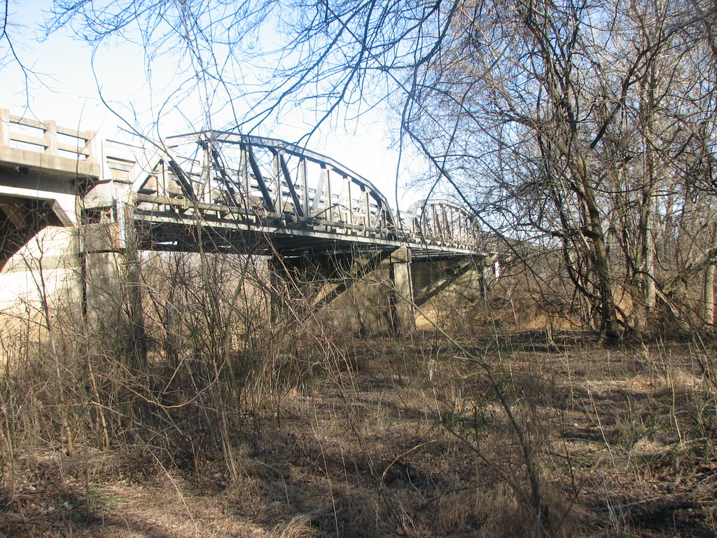
US 64-Horsehead Creek-Side View

20151007_184203_Richtone(HDR)
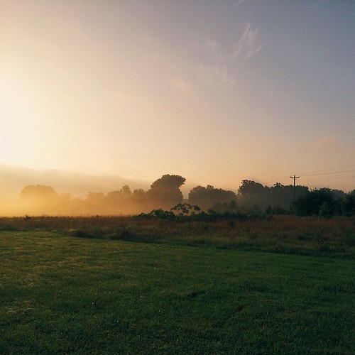
A new morning — a fresh start
no reason to sigh
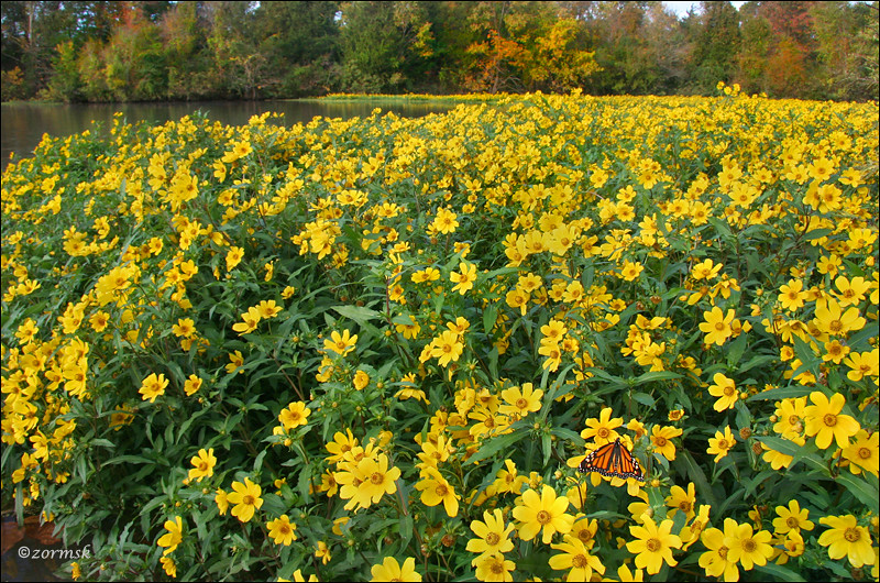
Spot of orange (3765a)
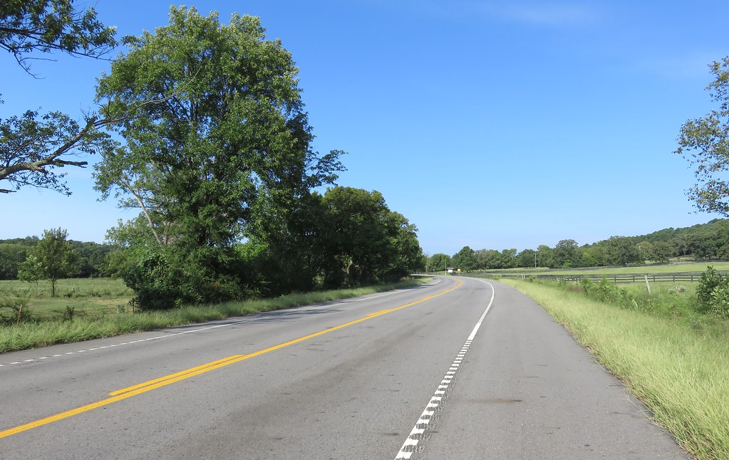
Arkansas River Valley Landscape (Johnson County, Arkansas)
Topographic Map of AR-, Scranton, AR, USA
Find elevation by address:

Places near AR-, Scranton, AR, USA:
Scranton
River Township
Parks Rd, Scranton, AR, USA
Co Rd, Hartman, AR, USA
Co Rd, Hartman, AR, USA
4473 Cottontown Rd
Prairie Township
County Road 2260
Ward Township
Burlison St, Hartman, AR, USA
Hartman
Co Rd, Clarksville, AR, USA
Grant Township
US-64, Coal Hill, AR, USA
Coal Hill
1314 Co Rd 3020
Alix Township
8537 Us-64
E Church St, Altus, AR, USA
Roseville Township
Recent Searches:
- Elevation of Corso Fratelli Cairoli, 35, Macerata MC, Italy
- Elevation of Tallevast Rd, Sarasota, FL, USA
- Elevation of 4th St E, Sonoma, CA, USA
- Elevation of Black Hollow Rd, Pennsdale, PA, USA
- Elevation of Oakland Ave, Williamsport, PA, USA
- Elevation of Pedrógão Grande, Portugal
- Elevation of Klee Dr, Martinsburg, WV, USA
- Elevation of Via Roma, Pieranica CR, Italy
- Elevation of Tavkvetili Mountain, Georgia
- Elevation of Hartfords Bluff Cir, Mt Pleasant, SC, USA