Elevation of Co Rd, Hartman, AR, USA
Location: United States > Arkansas > Johnson County > Prairie Township >
Longitude: -93.544284
Latitude: 35.425036
Elevation: 121m / 397feet
Barometric Pressure: 100KPa
Elevation Map:
Satellite Map:
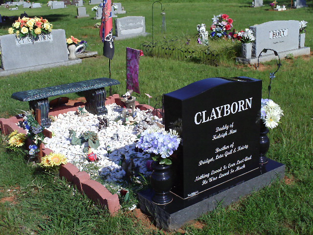
Related Photos:
North Street view
Spadra Creek

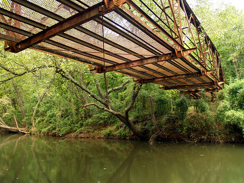
Mystery Bridge-Deck View
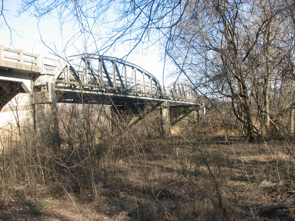
US 64-Horsehead Creek Side View-Close
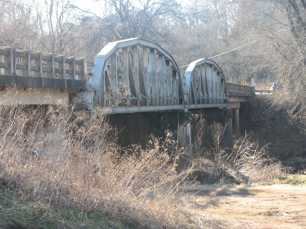
US 64-Horsehead Creek-Side View
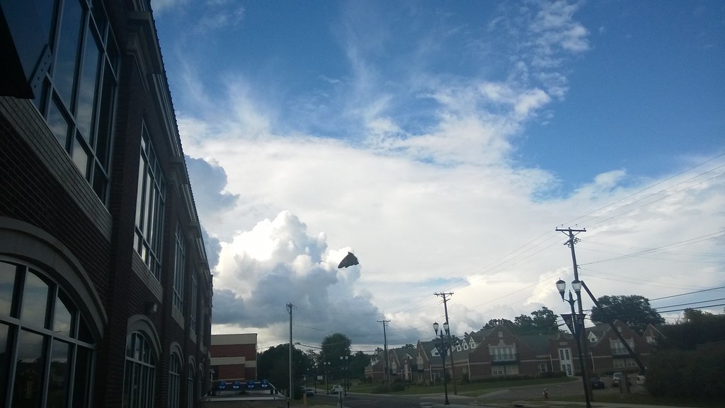
So Many Dragons

view from my room

A new morning — a fresh start
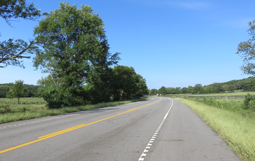
Arkansas River Valley Landscape (Johnson County, Arkansas)

20151007_184203_Richtone(HDR)
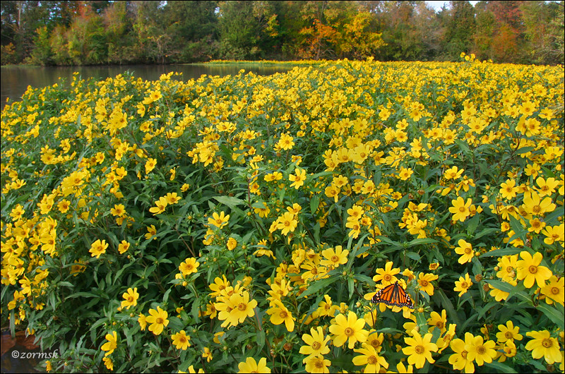
Spot of orange (3765a)
Topographic Map of Co Rd, Hartman, AR, USA
Find elevation by address:

Places near Co Rd, Hartman, AR, USA:
Co Rd, Hartman, AR, USA
Prairie Township
County Road 2260
River Township
Co Rd, Clarksville, AR, USA
AR-, Scranton, AR, USA
Scranton
Ward Township
Burlison St, Hartman, AR, USA
Hartman
4473 Cottontown Rd
Parks Rd, Scranton, AR, USA
Grant Township
US-64, Coal Hill, AR, USA
Coal Hill
1314 Co Rd 3020
Alix Township
8537 Us-64
E Church St, Altus, AR, USA
1700 St Marys Mountain Rd
Recent Searches:
- Elevation of Corso Fratelli Cairoli, 35, Macerata MC, Italy
- Elevation of Tallevast Rd, Sarasota, FL, USA
- Elevation of 4th St E, Sonoma, CA, USA
- Elevation of Black Hollow Rd, Pennsdale, PA, USA
- Elevation of Oakland Ave, Williamsport, PA, USA
- Elevation of Pedrógão Grande, Portugal
- Elevation of Klee Dr, Martinsburg, WV, USA
- Elevation of Via Roma, Pieranica CR, Italy
- Elevation of Tavkvetili Mountain, Georgia
- Elevation of Hartfords Bluff Cir, Mt Pleasant, SC, USA