Elevation of Corral Butte, Washington, USA
Location: United States > Washington > Okanogan County >
Longitude: -119.94230
Latitude: 48.8229276
Elevation: 2039m / 6690feet
Barometric Pressure: 79KPa
Elevation Map:
Satellite Map:
Related Photos:
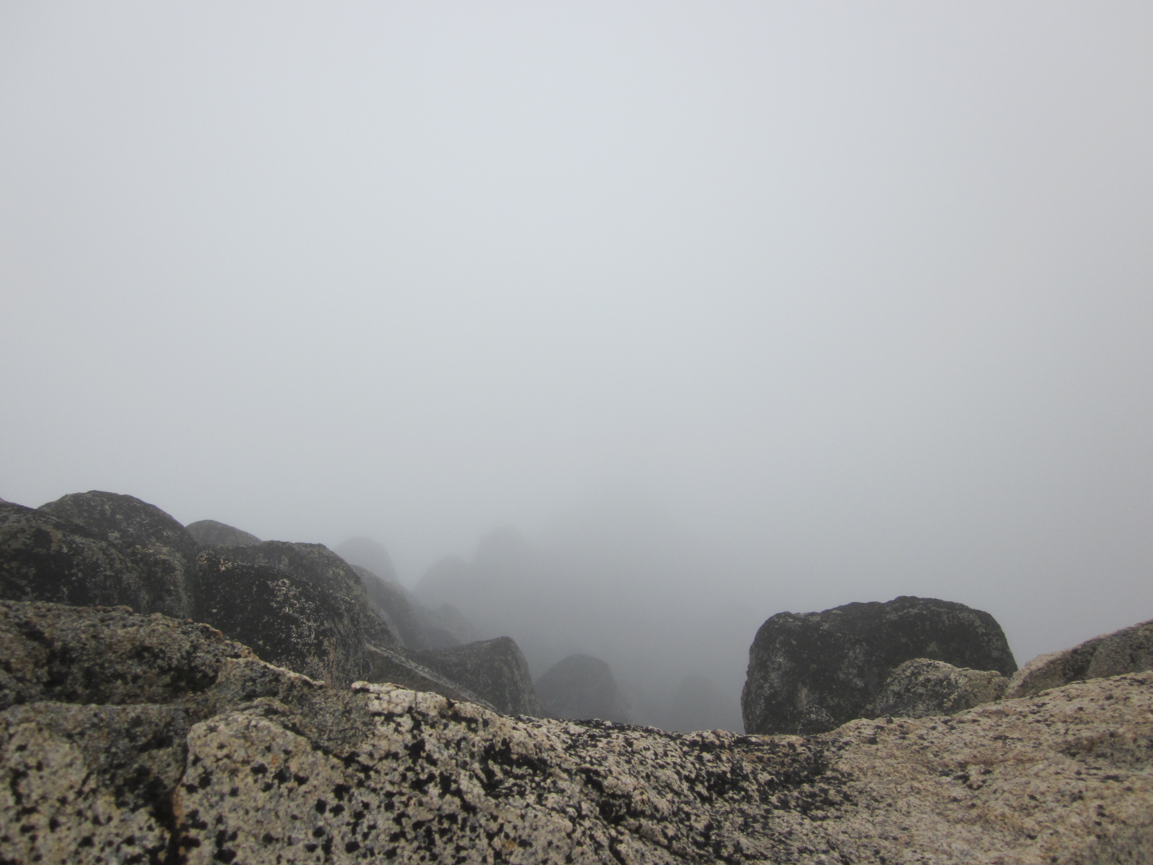
What a view!
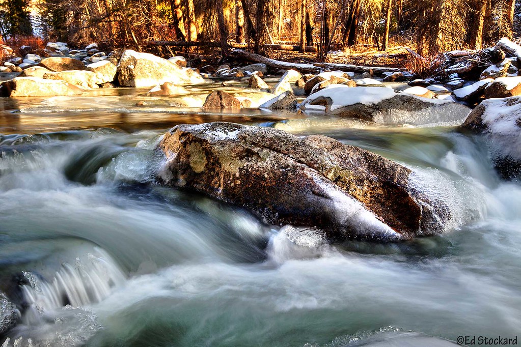
Ice Time

Ruby Crowned Kinglet
Winthrop Gran Fondo 8/4
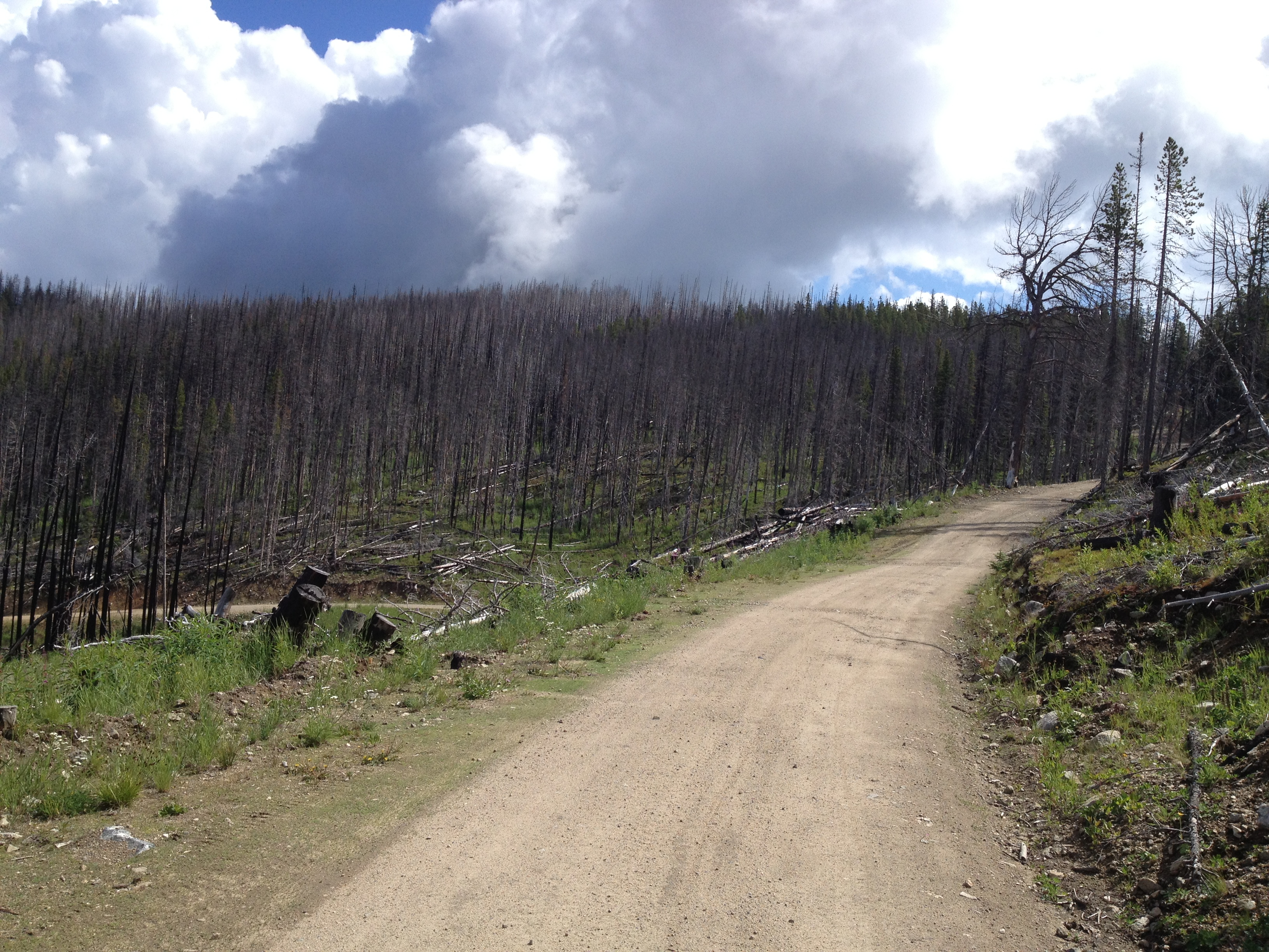
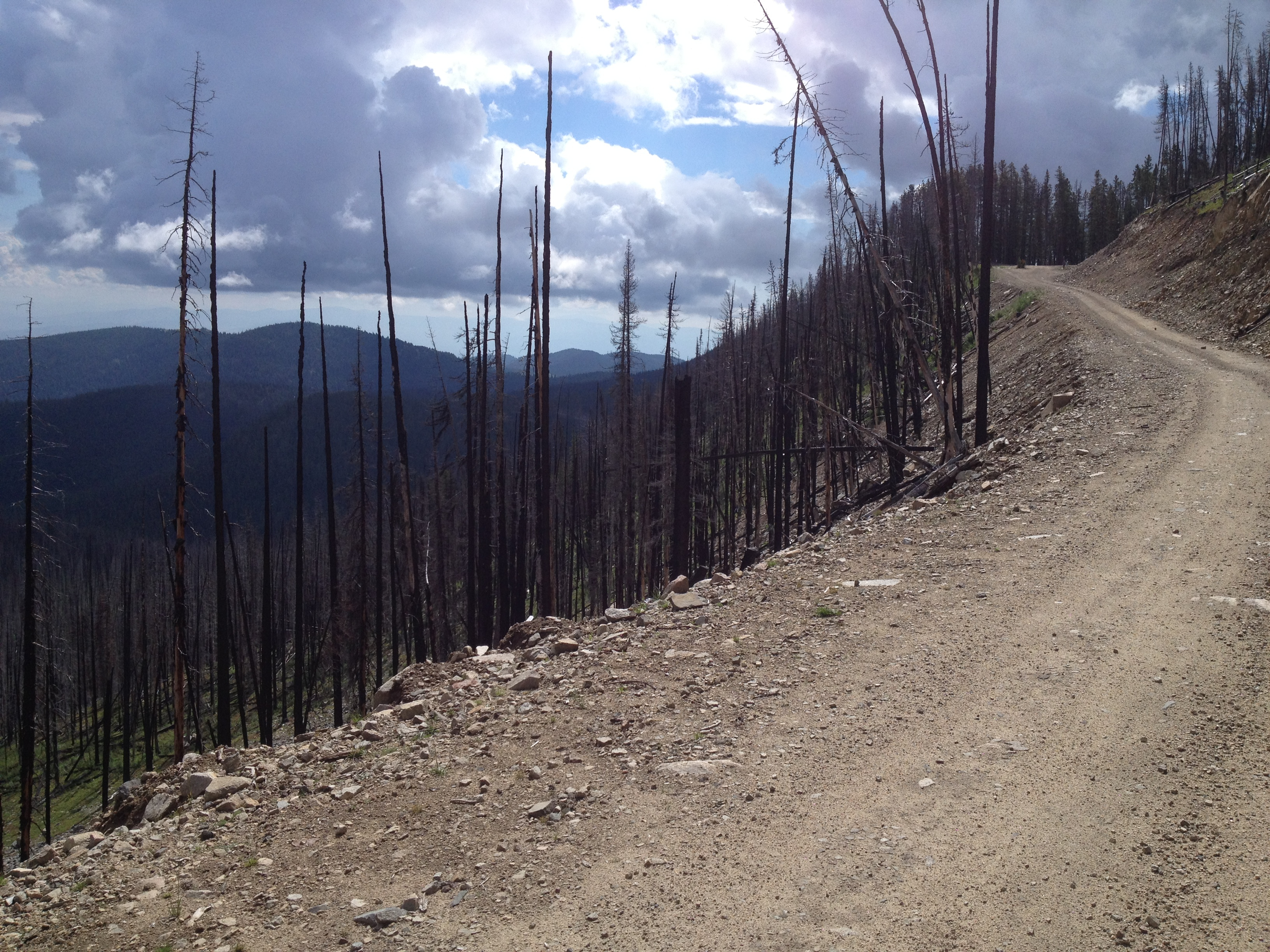
Burned trees and turning leaves were the theme for the day

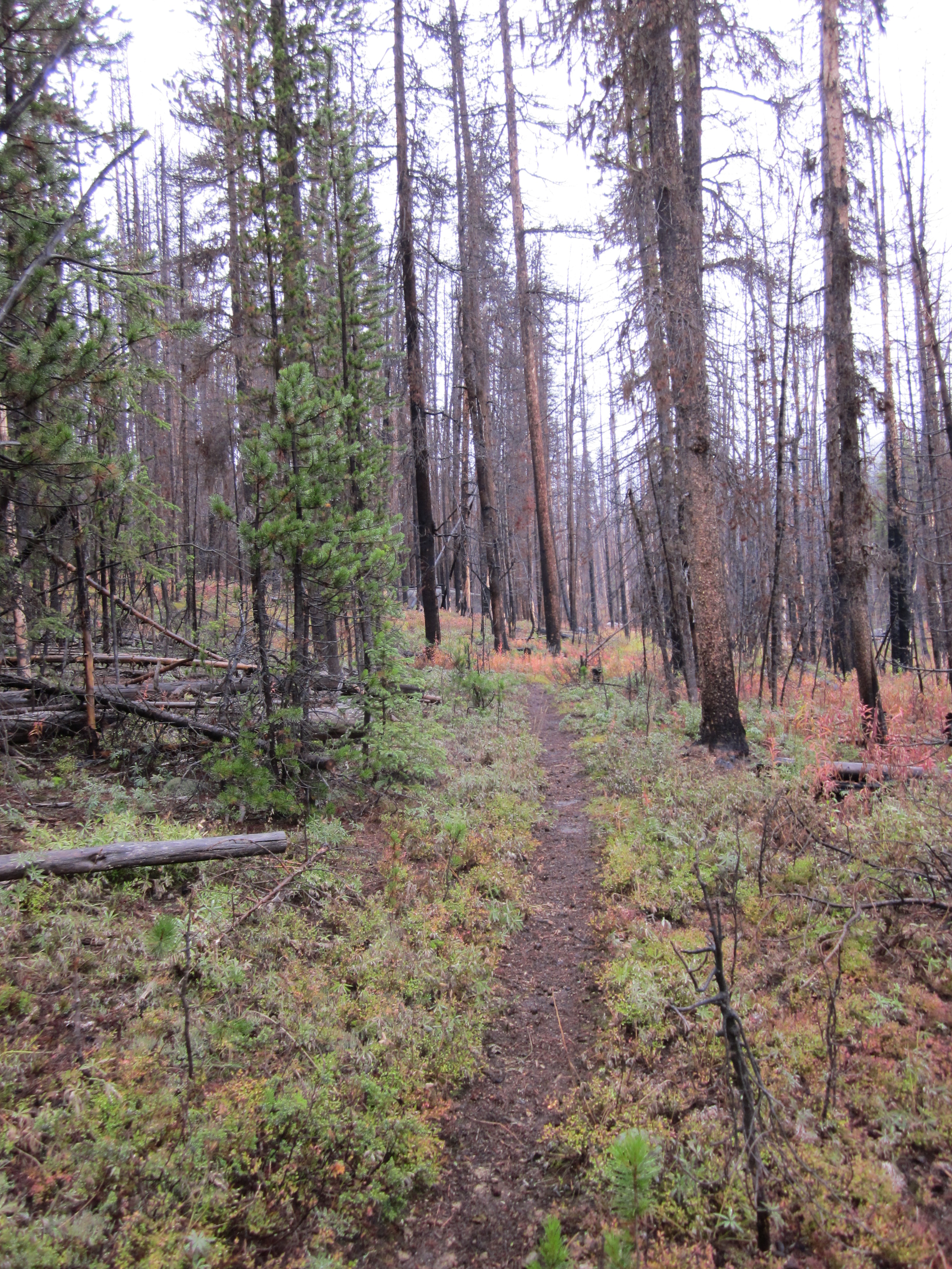
Wilderness!

Winthrop Gran Fondo 8/4
Winthrop Gran Fondo 8/4
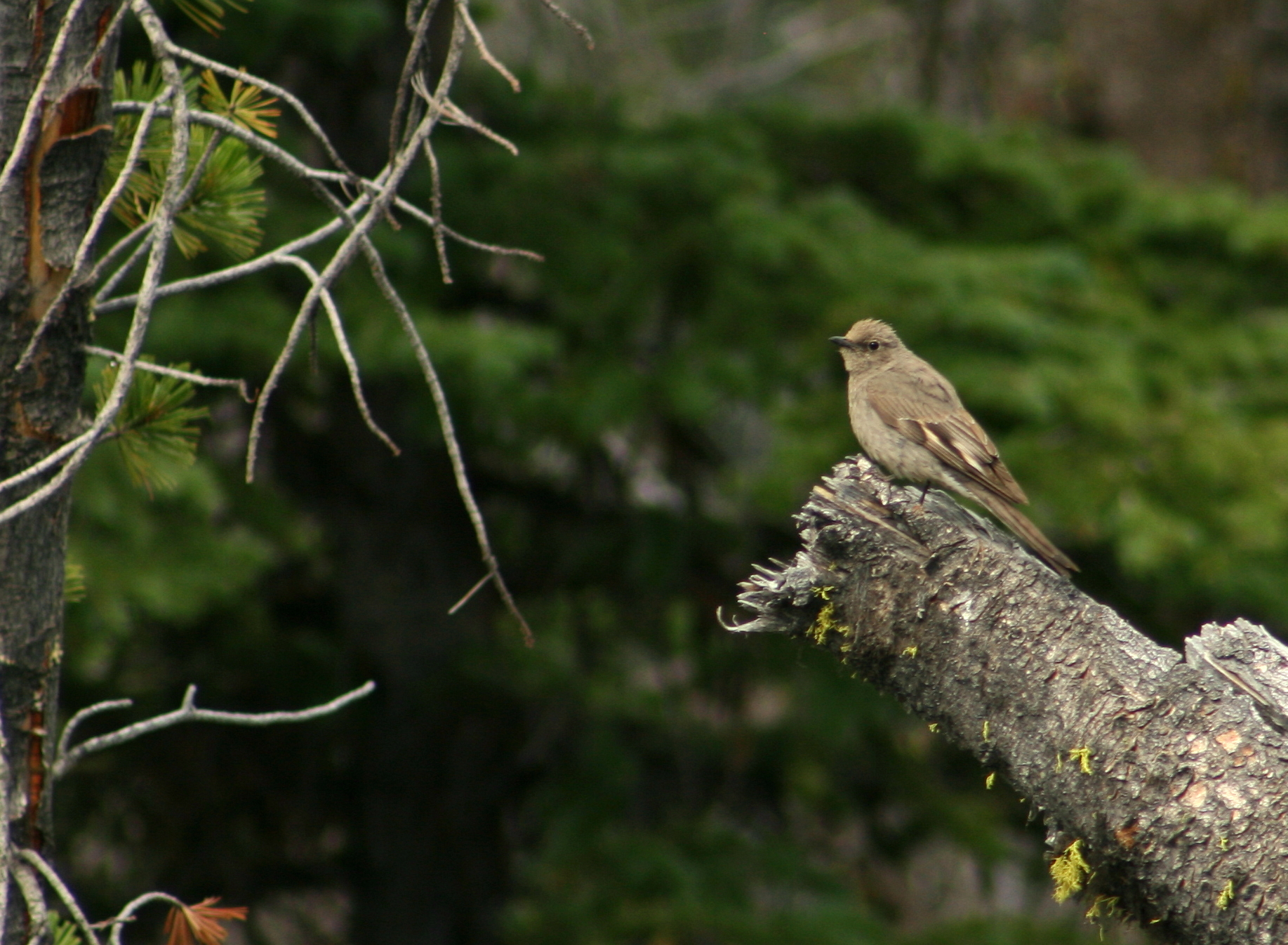
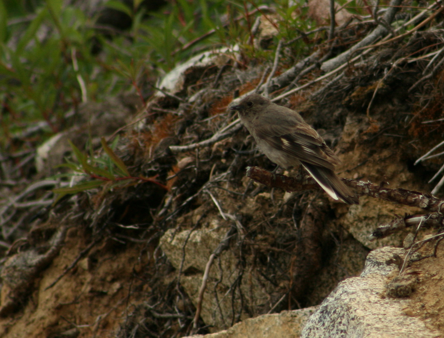
Townsend's Solitaire
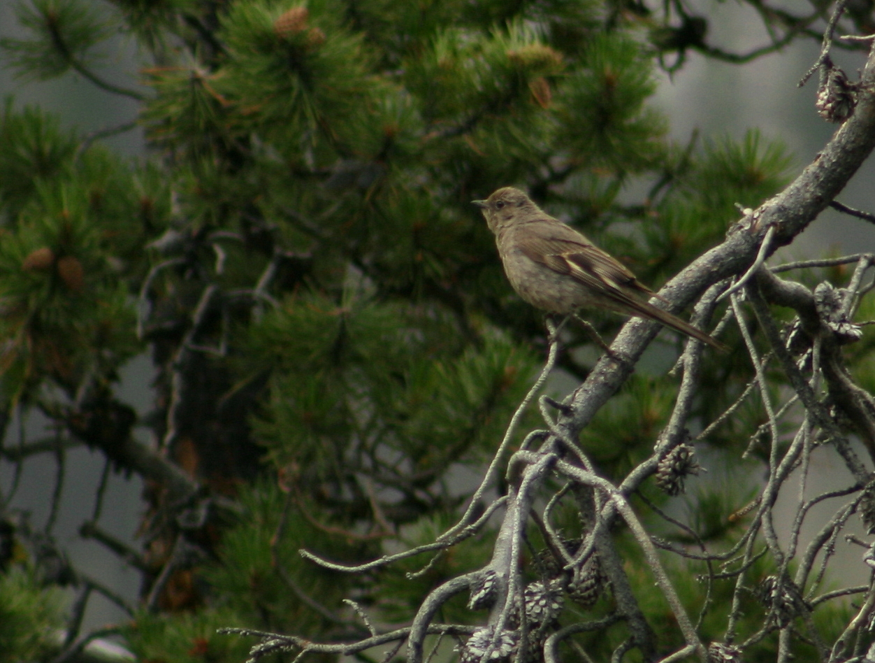
Townsend's Solitaire

Townsend's Solitaire

Townsend's Solitaire
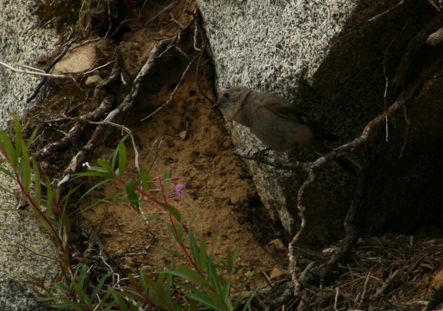
Townsend's Solitaire
Townsend's Solitaire
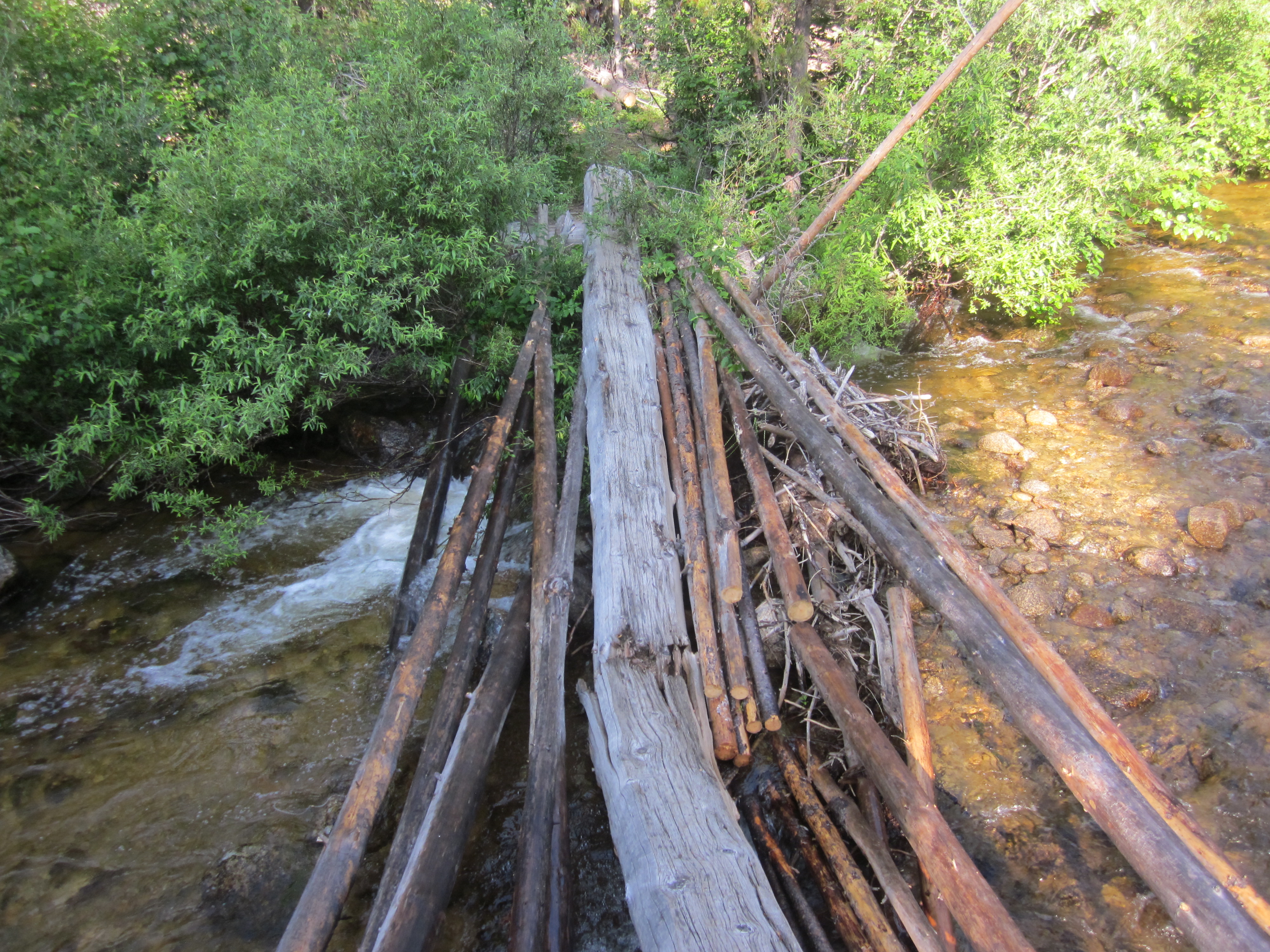
Favorite footbridge
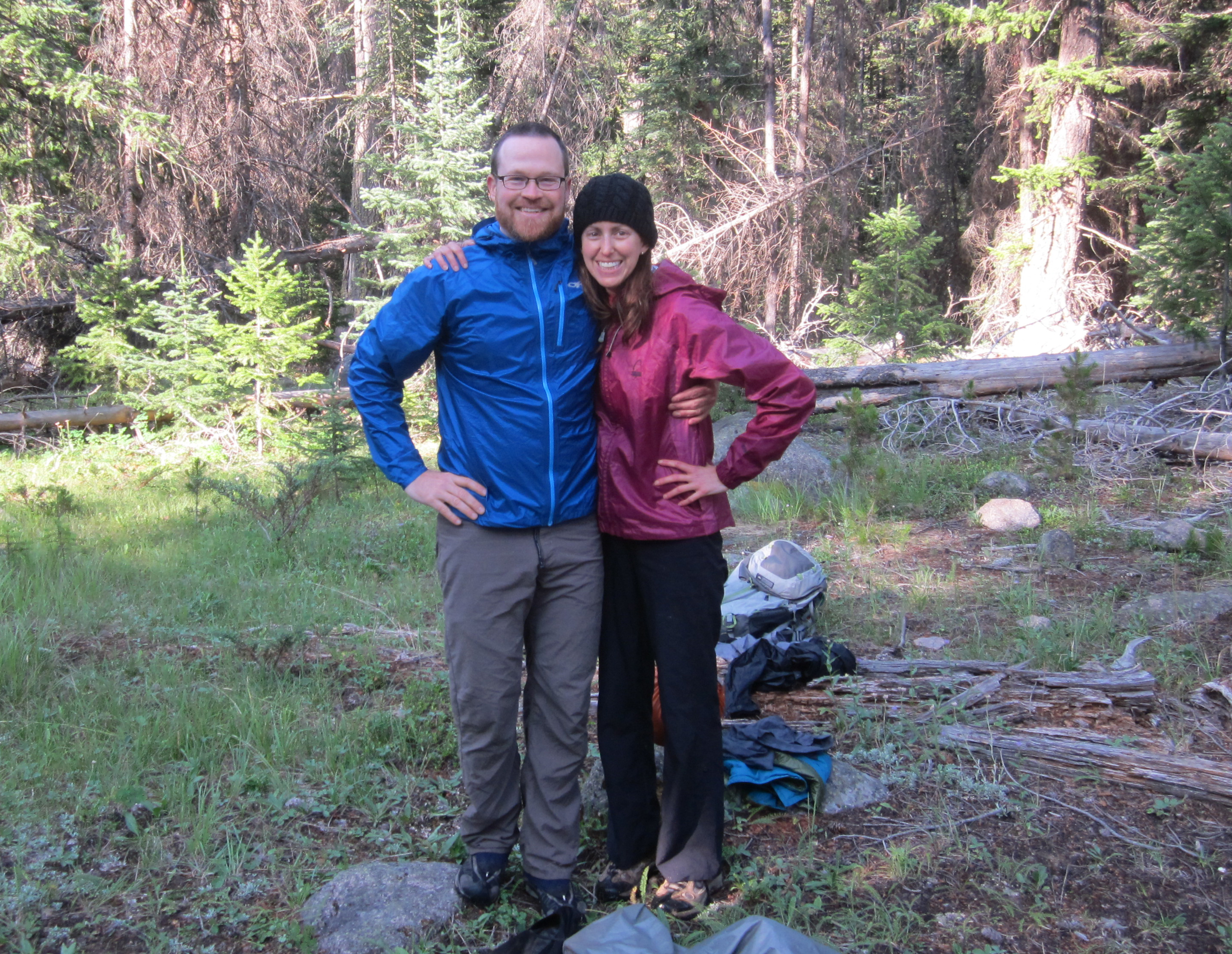
Favorite people
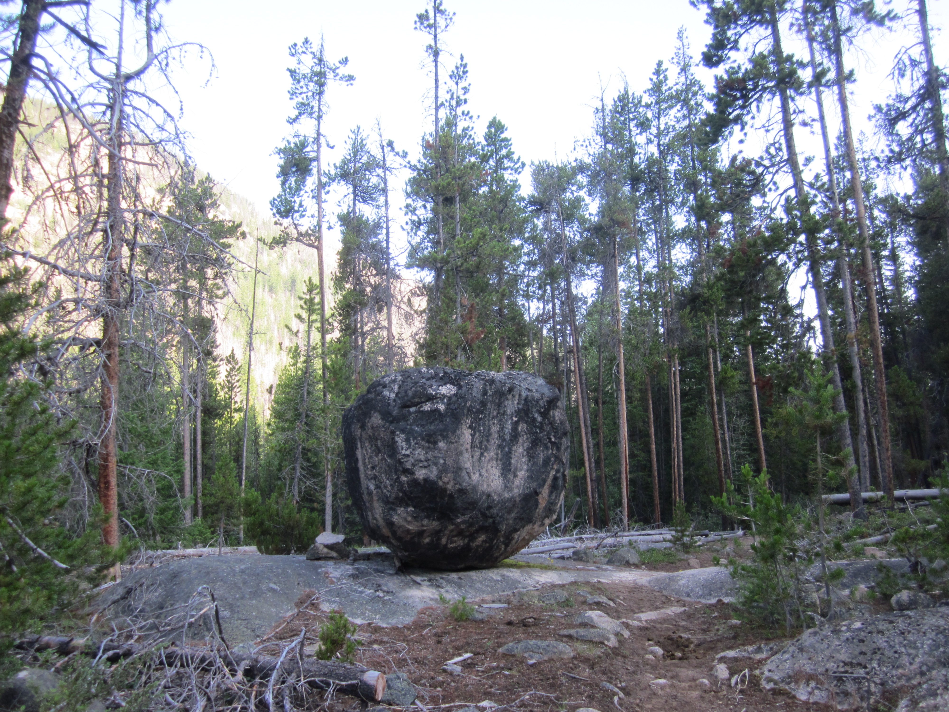
Favorite Big Rock
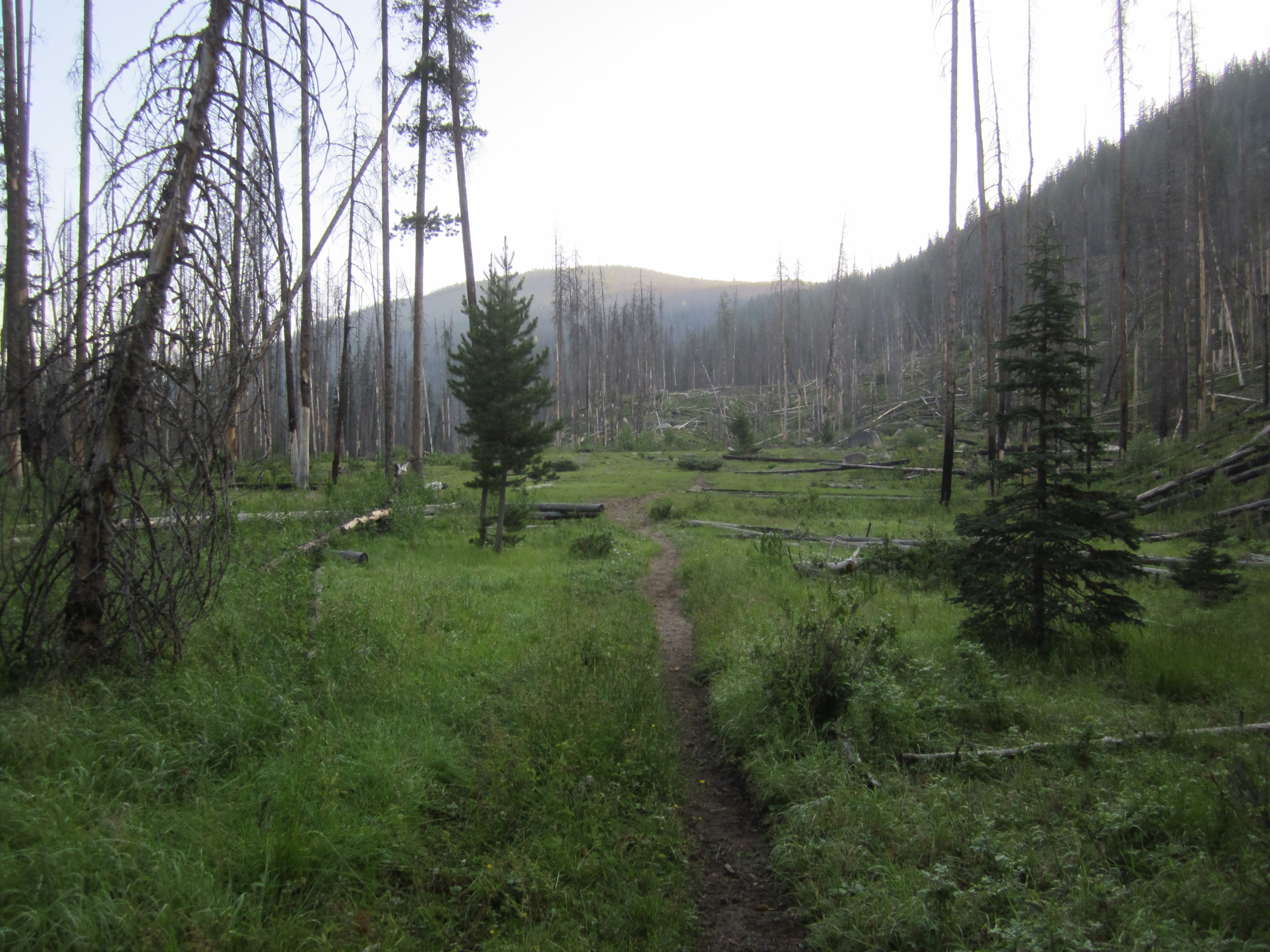
Favorite meadow

Favorite sign post
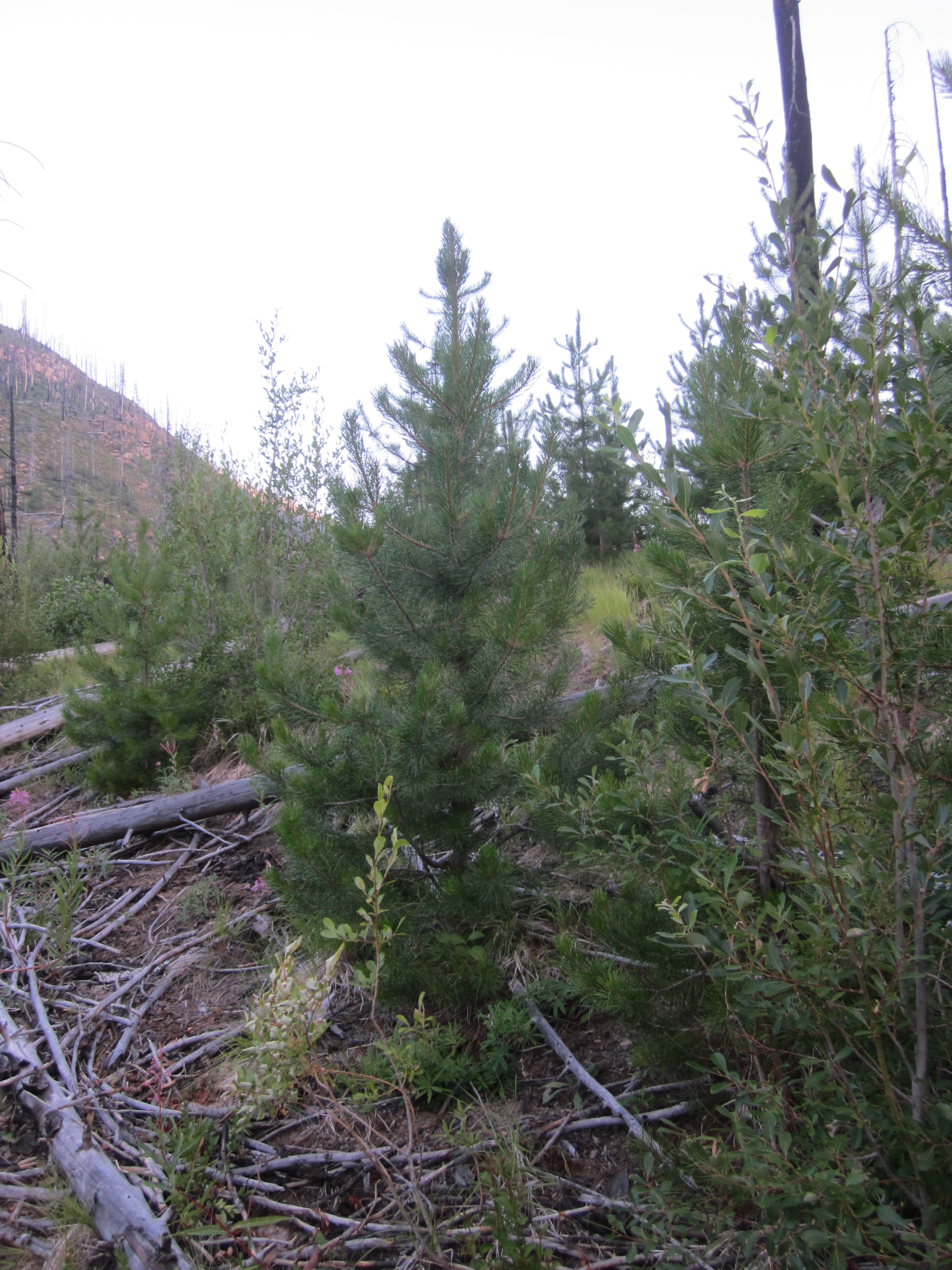
New growth cropping up
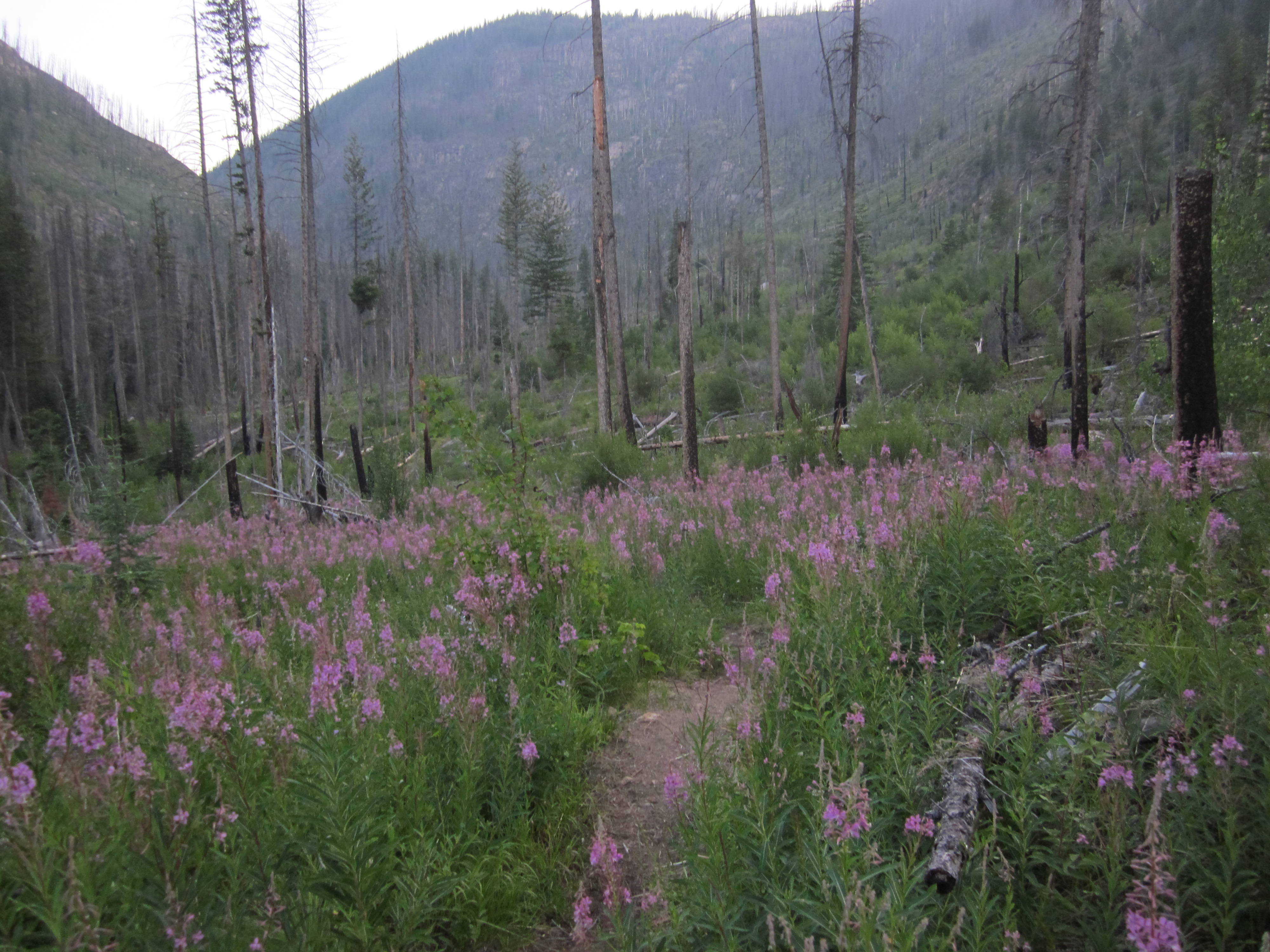
Appropos fireweed
Topographic Map of Corral Butte, Washington, USA
Find elevation by address:

Places near Corral Butte, Washington, USA:
Long Swamp Campground
Thirtymile Trailhead (recgovnpsdata)
Daisy Campground
Rock Mountain
Coleman Peak
Andrews Creek Campground
Cal Peak
Twentymile Creek
Chopaka Mountain
Hurley Peak
Coleman Ridge
Apex Mountain
Wolframite Mountain
Apex Pass
Haystack Mountain
Preston Ridge
Remmel Mountain
Okanagan-similkameen B
Remmel Creek
Amphitheater Mountain
Recent Searches:
- Elevation of Corso Fratelli Cairoli, 35, Macerata MC, Italy
- Elevation of Tallevast Rd, Sarasota, FL, USA
- Elevation of 4th St E, Sonoma, CA, USA
- Elevation of Black Hollow Rd, Pennsdale, PA, USA
- Elevation of Oakland Ave, Williamsport, PA, USA
- Elevation of Pedrógão Grande, Portugal
- Elevation of Klee Dr, Martinsburg, WV, USA
- Elevation of Via Roma, Pieranica CR, Italy
- Elevation of Tavkvetili Mountain, Georgia
- Elevation of Hartfords Bluff Cir, Mt Pleasant, SC, USA