Elevation of Daisy Campground, Loomis, WA, United States
Location: United States > Washington > Loomis >
Longitude: -119.86063
Latitude: 48.8679294
Elevation: 1499m / 4918feet
Barometric Pressure: 85KPa
Elevation Map:
Satellite Map:
Related Photos:
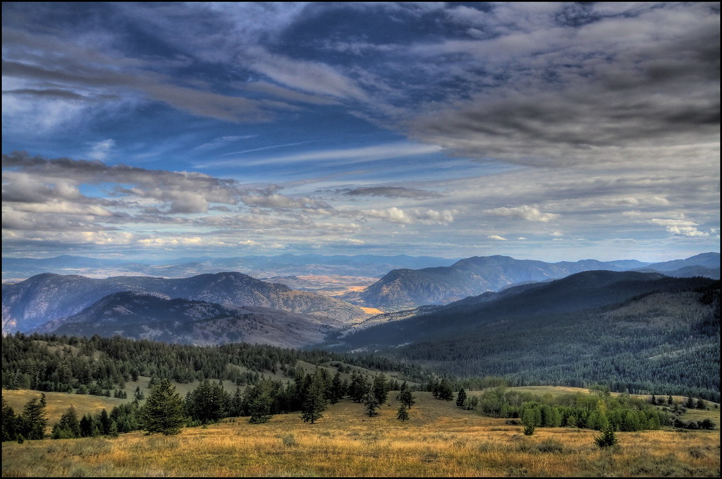
View From Camp on Chopaka Mountain
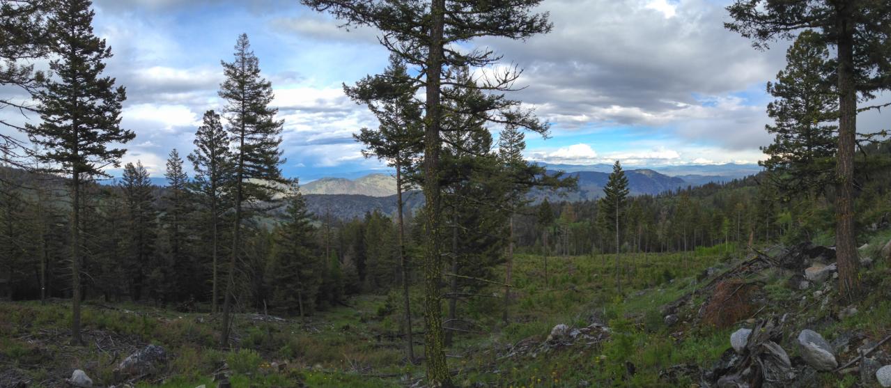
View east over the Sinlahekin and Okanogan River Valleys from the Loomis State Forest
Topographic Map of Daisy Campground, Loomis, WA, United States
Find elevation by address:

Places near Daisy Campground, Loomis, WA, United States:
Long Swamp Campground
Corral Butte
Chopaka Mountain
Hurley Peak
Thirtymile Trailhead (recgovnpsdata)
Rock Mountain
Okanagan-similkameen B
23 Bighorn Dr
23 Bighorn Dr
23 Bighorn Dr
Coleman Peak
Loomis
Palmer Lake
Ellemeham Mountain
Nighthawk
Andrews Creek Campground
Cal Peak
Wolframite Mountain
Coleman Ridge
Twentymile Creek
Recent Searches:
- Elevation of Corso Fratelli Cairoli, 35, Macerata MC, Italy
- Elevation of Tallevast Rd, Sarasota, FL, USA
- Elevation of 4th St E, Sonoma, CA, USA
- Elevation of Black Hollow Rd, Pennsdale, PA, USA
- Elevation of Oakland Ave, Williamsport, PA, USA
- Elevation of Pedrógão Grande, Portugal
- Elevation of Klee Dr, Martinsburg, WV, USA
- Elevation of Via Roma, Pieranica CR, Italy
- Elevation of Tavkvetili Mountain, Georgia
- Elevation of Hartfords Bluff Cir, Mt Pleasant, SC, USA