Elevation of Long Swamp Campground, NF-39, Loomis, WA, United States
Location: United States > Washington > Loomis >
Longitude: -119.94629
Latitude: 48.854829
Elevation: 1658m / 5440feet
Barometric Pressure: 83KPa
Elevation Map:
Satellite Map:
Related Photos:
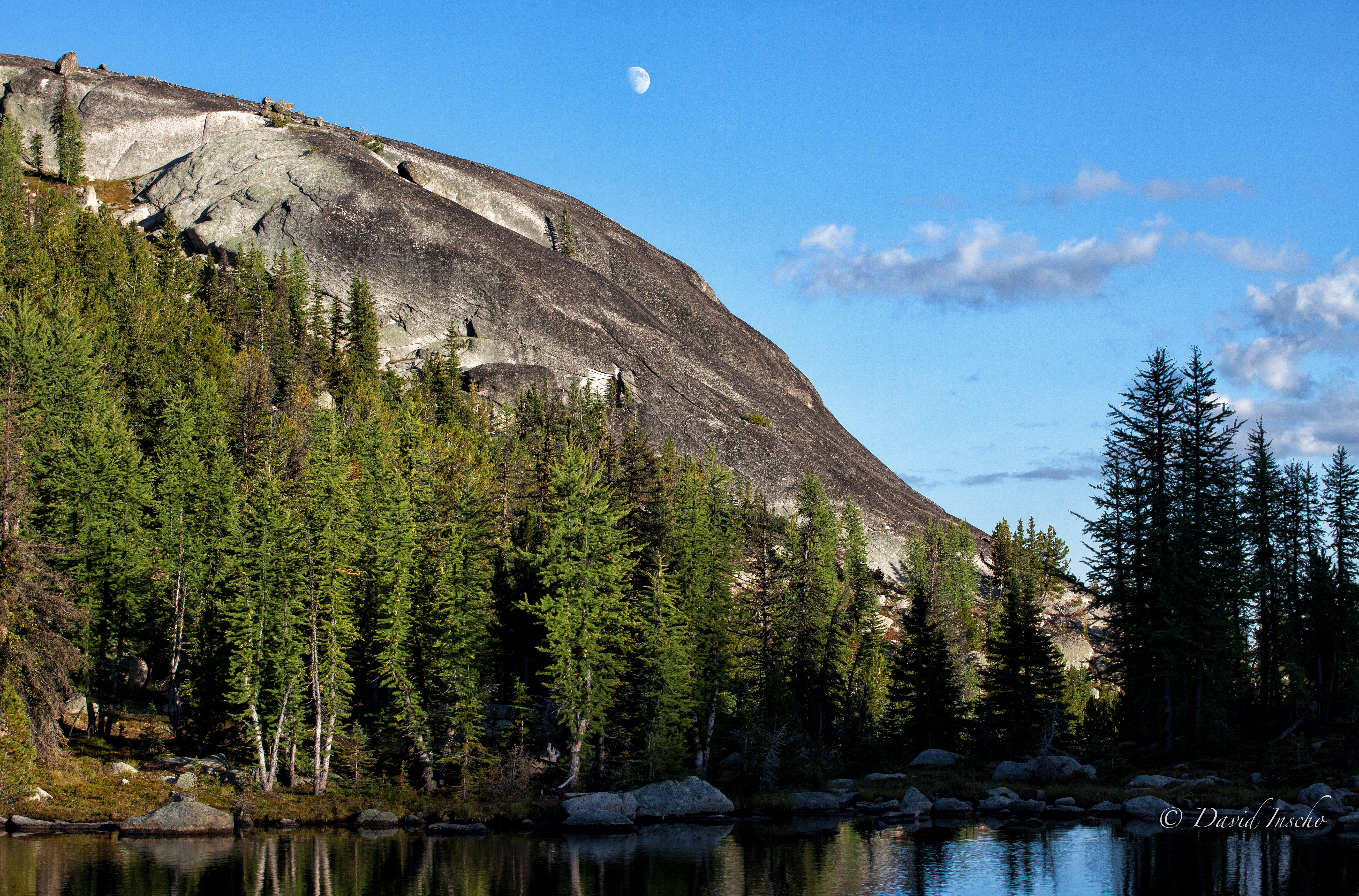
Camp view, nite 2
Topographic Map of Long Swamp Campground, NF-39, Loomis, WA, United States
Find elevation by address:

Places near Long Swamp Campground, NF-39, Loomis, WA, United States:
Corral Butte
Thirtymile Trailhead (recgovnpsdata)
Daisy Campground
Coleman Peak
Rock Mountain
Andrews Creek Campground
Cal Peak
Chopaka Mountain
Hurley Peak
Coleman Ridge
Twentymile Creek
Wolframite Mountain
Apex Mountain
Apex Pass
Haystack Mountain
Preston Ridge
Remmel Mountain
Okanagan-similkameen B
The Boxcar
Twin Buttes
Recent Searches:
- Elevation of Corso Fratelli Cairoli, 35, Macerata MC, Italy
- Elevation of Tallevast Rd, Sarasota, FL, USA
- Elevation of 4th St E, Sonoma, CA, USA
- Elevation of Black Hollow Rd, Pennsdale, PA, USA
- Elevation of Oakland Ave, Williamsport, PA, USA
- Elevation of Pedrógão Grande, Portugal
- Elevation of Klee Dr, Martinsburg, WV, USA
- Elevation of Via Roma, Pieranica CR, Italy
- Elevation of Tavkvetili Mountain, Georgia
- Elevation of Hartfords Bluff Cir, Mt Pleasant, SC, USA