Elevation map of Okanogan County, WA, USA
Location: United States > Washington >
Longitude: -119.65221
Latitude: 48.5896831
Elevation: 922m / 3025feet
Barometric Pressure: 91KPa
Elevation Map:
Satellite Map:
Related Photos:

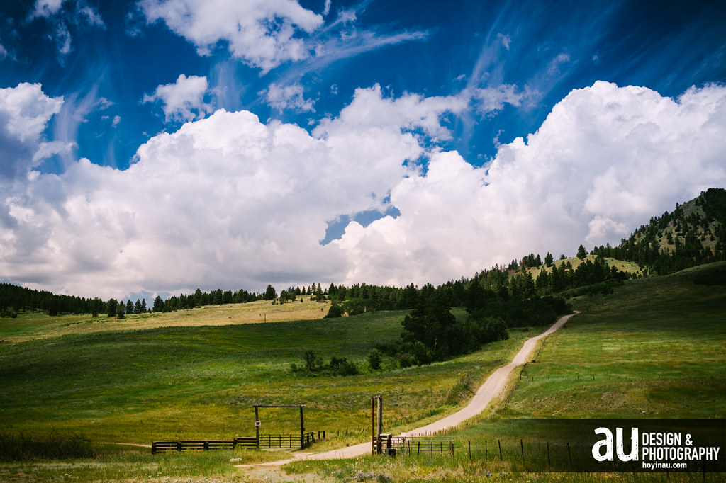
Hilltop Barn
Concanully 2
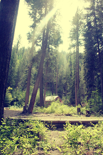
While Camping
Mineral Hill
Someday...

Five ON The Beach
Above Conconully

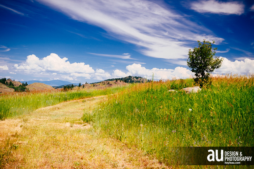
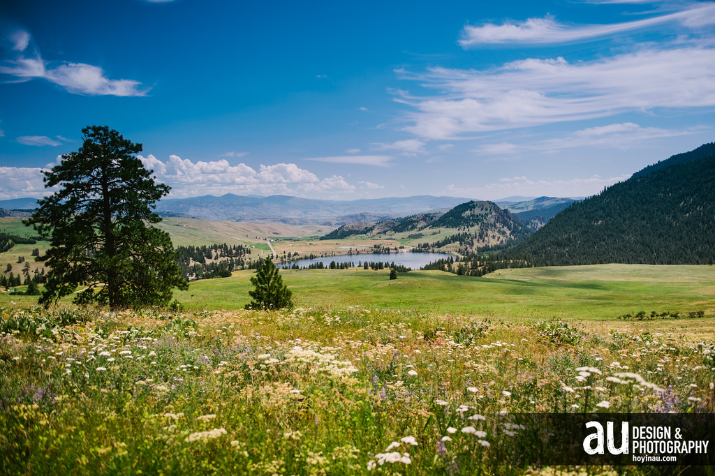
High Meadows
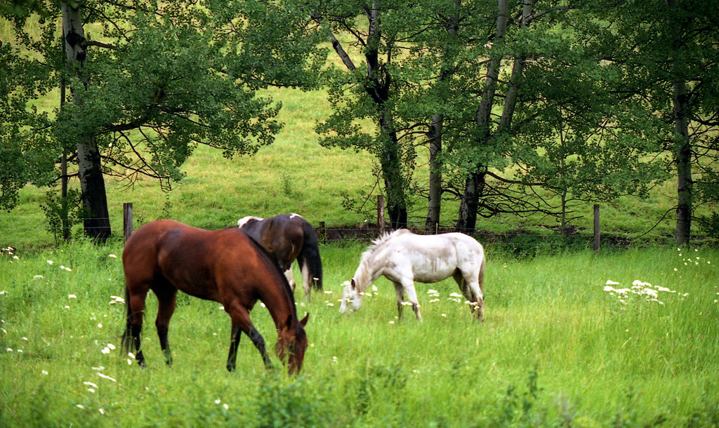
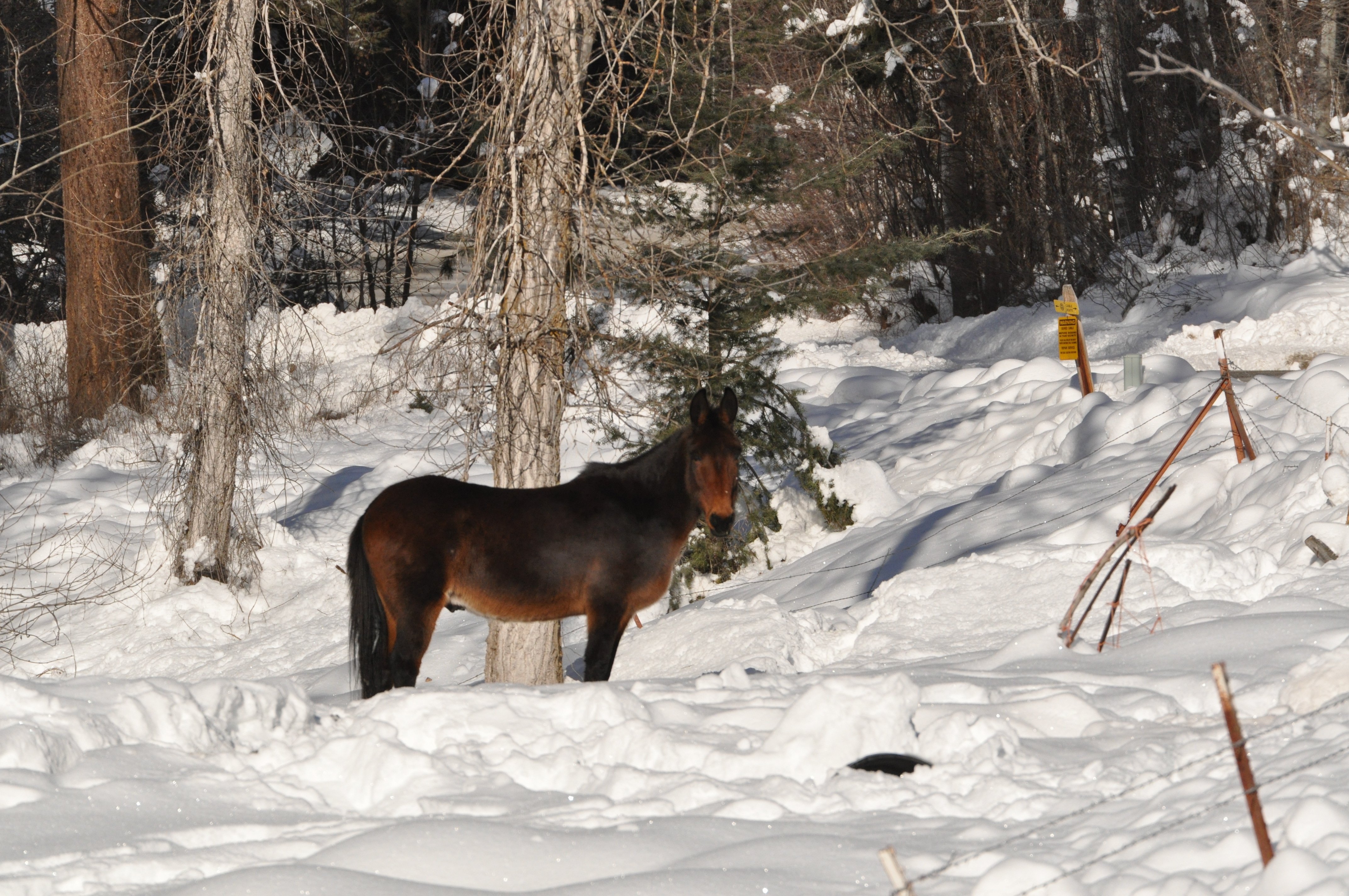
Horses at ranch

P2015-05-20 15.44.55

P2015-05-20 15.21.02
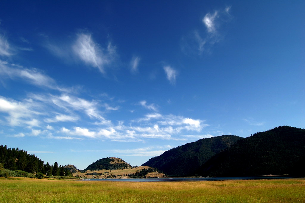
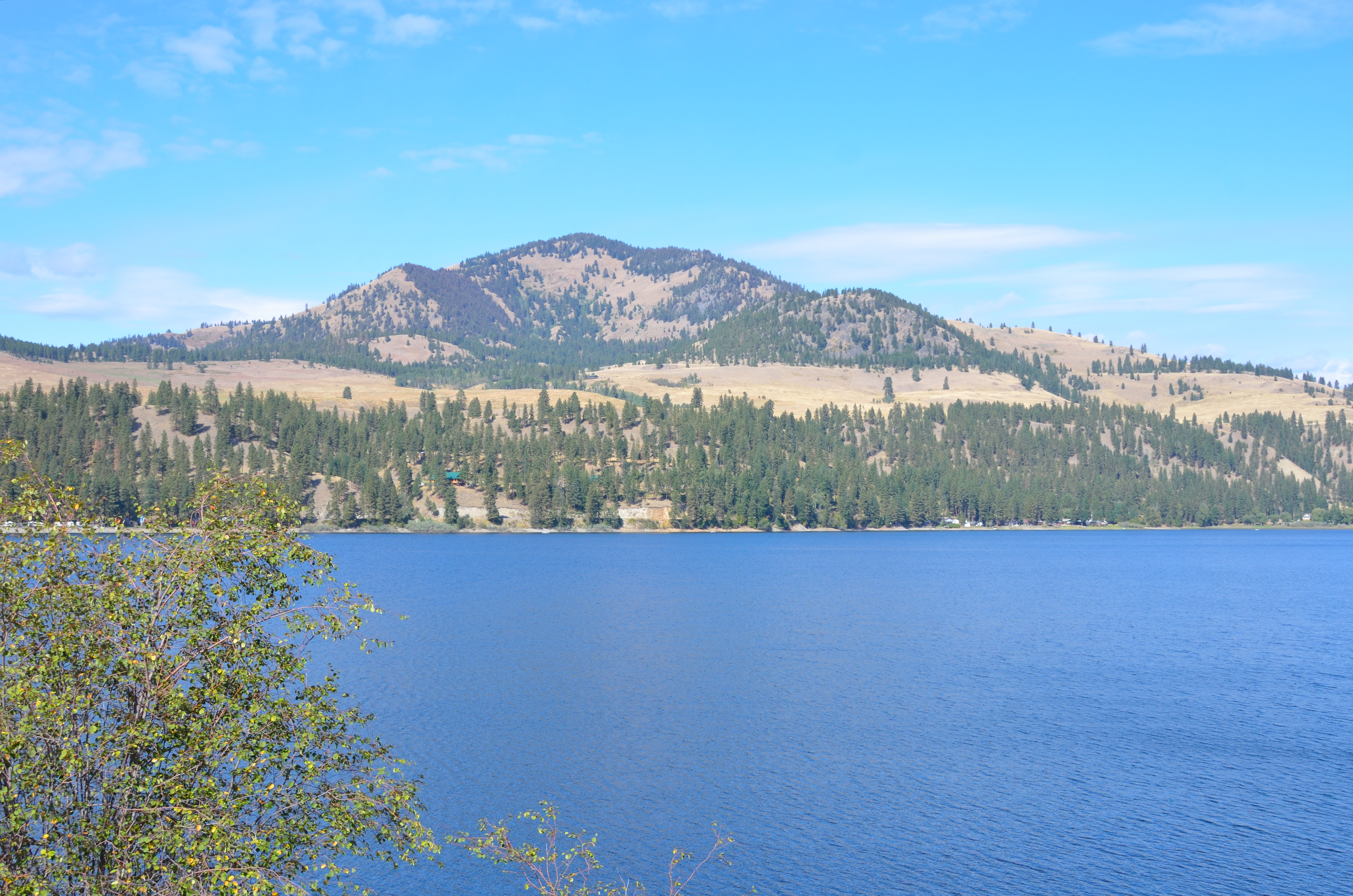
Lake Conconully
Conconully Reservoir

P2015-05-20 15.01.01

P2015-05-20 15.21.04

Lake Conconully
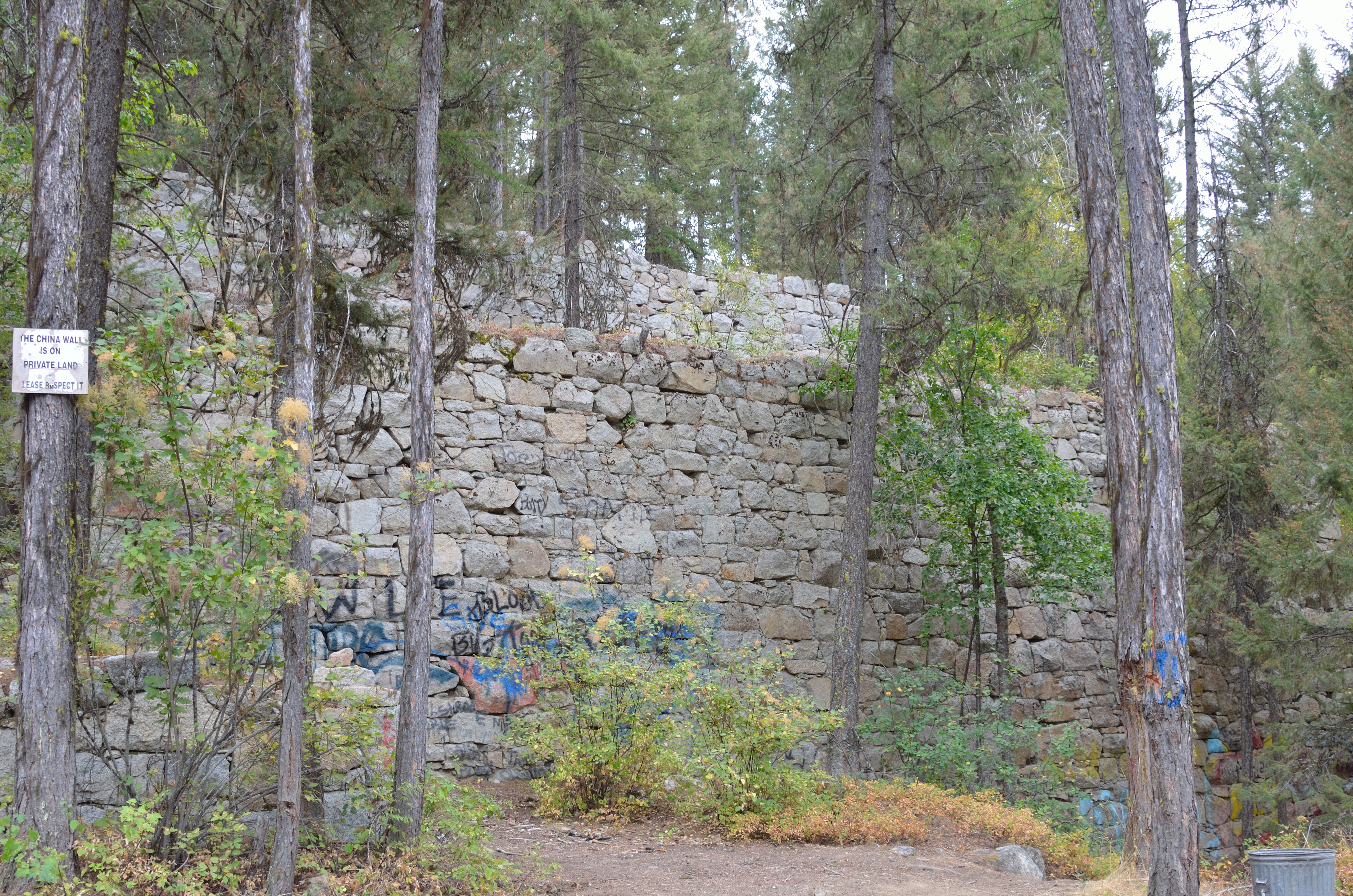
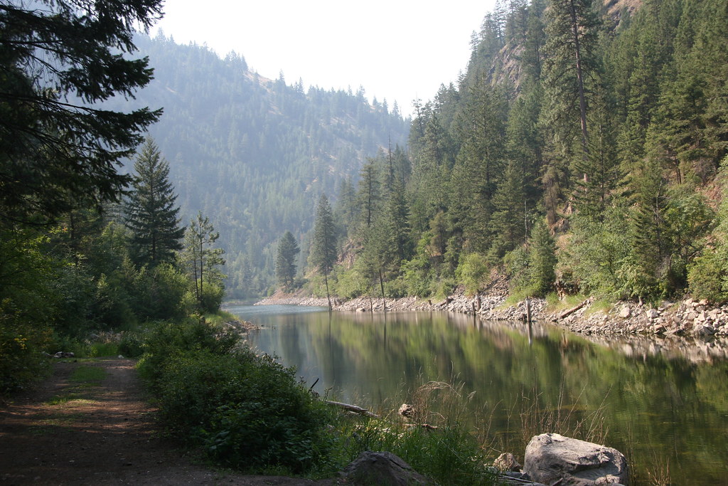
China Wall
01202013 162
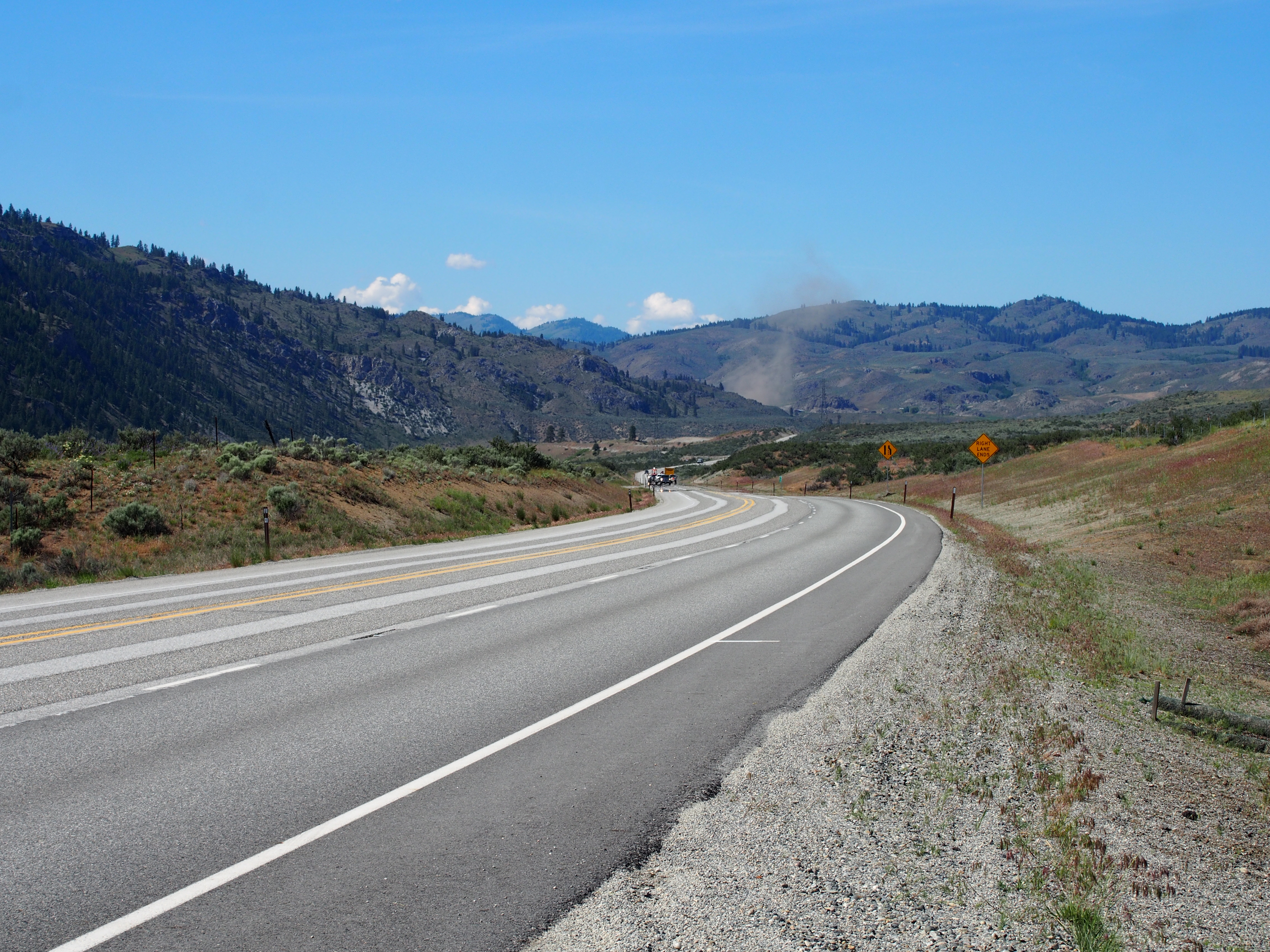
SR-20
P2015-05-20 14.59.07

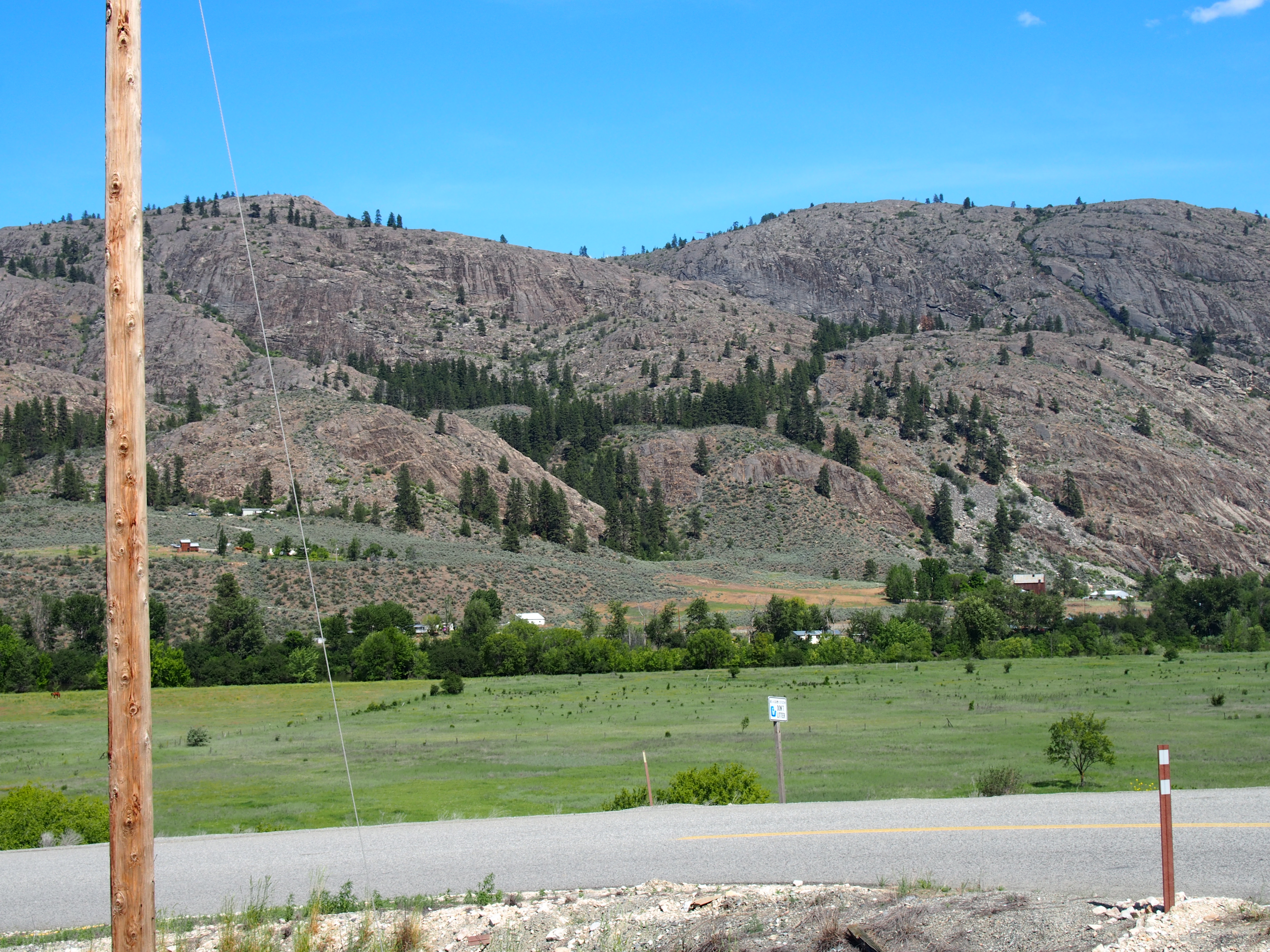
Okanogan Valley from Mount Olive
Topographic Map of Okanogan County, WA, USA
Find elevation by address:

Places in Okanogan County, WA, USA:
Tonasket
Oroville
Okanogan
Wauconda
Brewster
Omak
Conconully
Nespelem
Remmel Mountain
Mount Lago
Sheep Mountain
Monument Peak
Lake Mountain
Blackcap Mountain
Osceola Peak
Pass Butte
Dot Mountain
Many Trails Peak
Lost Peak
Ptarmigan Peak
Rampart Ridge North
Rampart Ridge
Island Mountain
Dollar Watch Mountain
Two Point Mountain West
Van Peak
Freds Mountain
Peepsight Mountain
Andrew Peak
Preston Ridge
Apex Mountain
Amphitheater Mountain
Cathedral Peak
Border Ridge
Wolframite Mountain
Blizzard Peak
Three Fools Peak
Soda Peak
Smoky Mountain
Holman Peak
Powder Mountain
Castle Peak
Mount Winthrop
Point Defiance
Holdover Ridge
Quartz Mountain
Cal Peak
Coleman Ridge
Coleman Peak
Corral Butte
Remmel Creek
Remmel Lake
Apex Pass
Chesaw
Nighthawk
Coulee Dam
Riverside
Methow
Malott
Places near Okanogan County, WA, USA:
83 Lemanasky Rd
187 Silver Hill Rd
40 Scanlon Lake Rd
Conconully
Castor Lake
North Lemanasky Road
597 Salmon Creek Rd
North Cascades Broadcasting
79 Alpine Ln
23 Bighorn Dr
23 Bighorn Dr
23 Bighorn Dr
Loomis
50 Sky Ln
Okanogan
Rock Mountain
1 Kyle Ln
33 Madd Mtn Rd
35 B and O Rd, Okanogan, WA, USA
Malott
Recent Searches:
- Elevation of Corso Fratelli Cairoli, 35, Macerata MC, Italy
- Elevation of Tallevast Rd, Sarasota, FL, USA
- Elevation of 4th St E, Sonoma, CA, USA
- Elevation of Black Hollow Rd, Pennsdale, PA, USA
- Elevation of Oakland Ave, Williamsport, PA, USA
- Elevation of Pedrógão Grande, Portugal
- Elevation of Klee Dr, Martinsburg, WV, USA
- Elevation of Via Roma, Pieranica CR, Italy
- Elevation of Tavkvetili Mountain, Georgia
- Elevation of Hartfords Bluff Cir, Mt Pleasant, SC, USA