Elevation of Copper Line Rd, Bumpass, VA, USA
Location: United States > Virginia > Louisa County > Jackson > Bumpass >
Longitude: -77.821495
Latitude: 37.8568103
Elevation: -10000m / -32808feet
Barometric Pressure: 295KPa
Elevation Map:
Satellite Map:
Related Photos:

Woodson's Mill, river side

Road Trip (Northern Virginia)

Lake Anna Log Home - Front View

South East View

Log Home - Back View (morning light)

Log Home - Back View (afternoon light)

View Off the North Porch

South West View

Future site of a Dolley and James Madison Statue
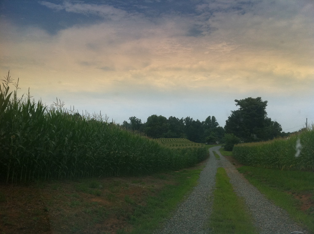
The corn is high at my mom's house.

Over the river and through the woods

Yellow Field

Water World

Montpelier Grounds

Ziggy!

Louisa County, Virginia

Country Farm
Topographic Map of Copper Line Rd, Bumpass, VA, USA
Find elevation by address:

Places near Copper Line Rd, Bumpass, VA, USA:
Paynes Mill Rd, Bumpass, VA, USA
Jefferson Hwy, Bumpass, VA, USA
36 Factory Mill Rd, Bumpass, VA, USA
Jackson
Buckner Rd, Bumpass, VA, USA
18477 Dixie Belle Ln
5240 Buckner Rd
4675 E Grey Fox Rd
4675 E Gray Fox Cir
4625 Fox Chase Run
18621 Rolling Meadows Trail
Bumpass, VA, USA
Cuckoo
Shepherd Spring Rd, Gum Spring, VA, USA
Blessed Lane
17324 Shiloh Church Rd
Cuckoo
17404 Rocky Ford Rd
Bumpass
South Anna
Recent Searches:
- Elevation of Corso Fratelli Cairoli, 35, Macerata MC, Italy
- Elevation of Tallevast Rd, Sarasota, FL, USA
- Elevation of 4th St E, Sonoma, CA, USA
- Elevation of Black Hollow Rd, Pennsdale, PA, USA
- Elevation of Oakland Ave, Williamsport, PA, USA
- Elevation of Pedrógão Grande, Portugal
- Elevation of Klee Dr, Martinsburg, WV, USA
- Elevation of Via Roma, Pieranica CR, Italy
- Elevation of Tavkvetili Mountain, Georgia
- Elevation of Hartfords Bluff Cir, Mt Pleasant, SC, USA