Elevation of Shiloh Church Rd, Montpelier, VA, USA
Location: United States > Virginia > Hanover County > South Anna > Montpelier >
Longitude: -77.706773
Latitude: 37.8824679
Elevation: 89m / 292feet
Barometric Pressure: 100KPa
Elevation Map:
Satellite Map:
Related Photos:
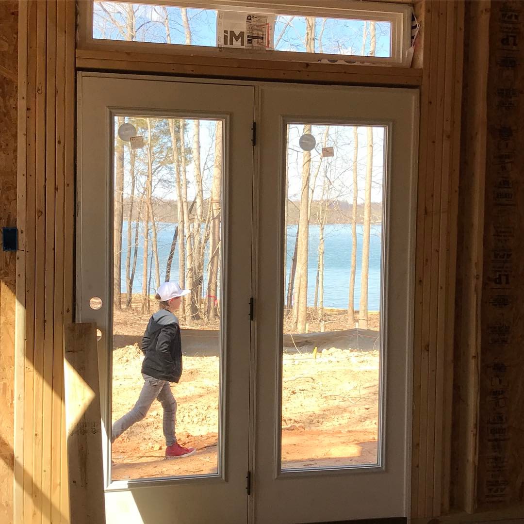
That view. #epiclakebuild , #ilovethisview
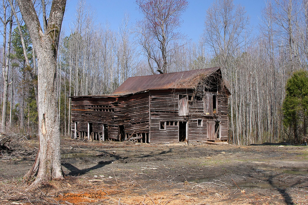
Change is coming
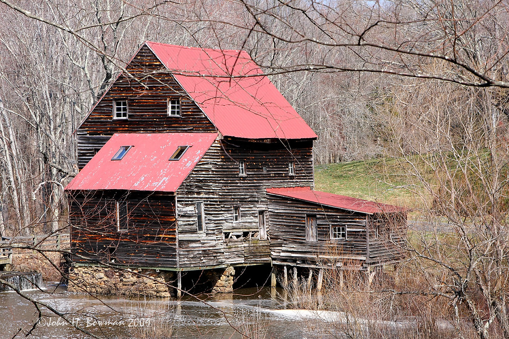
Woodson's Mill, river side

South Anna River.jpg
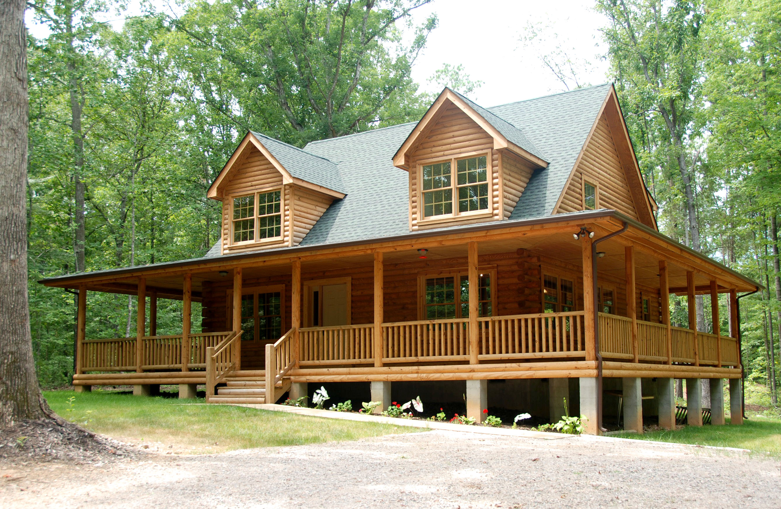
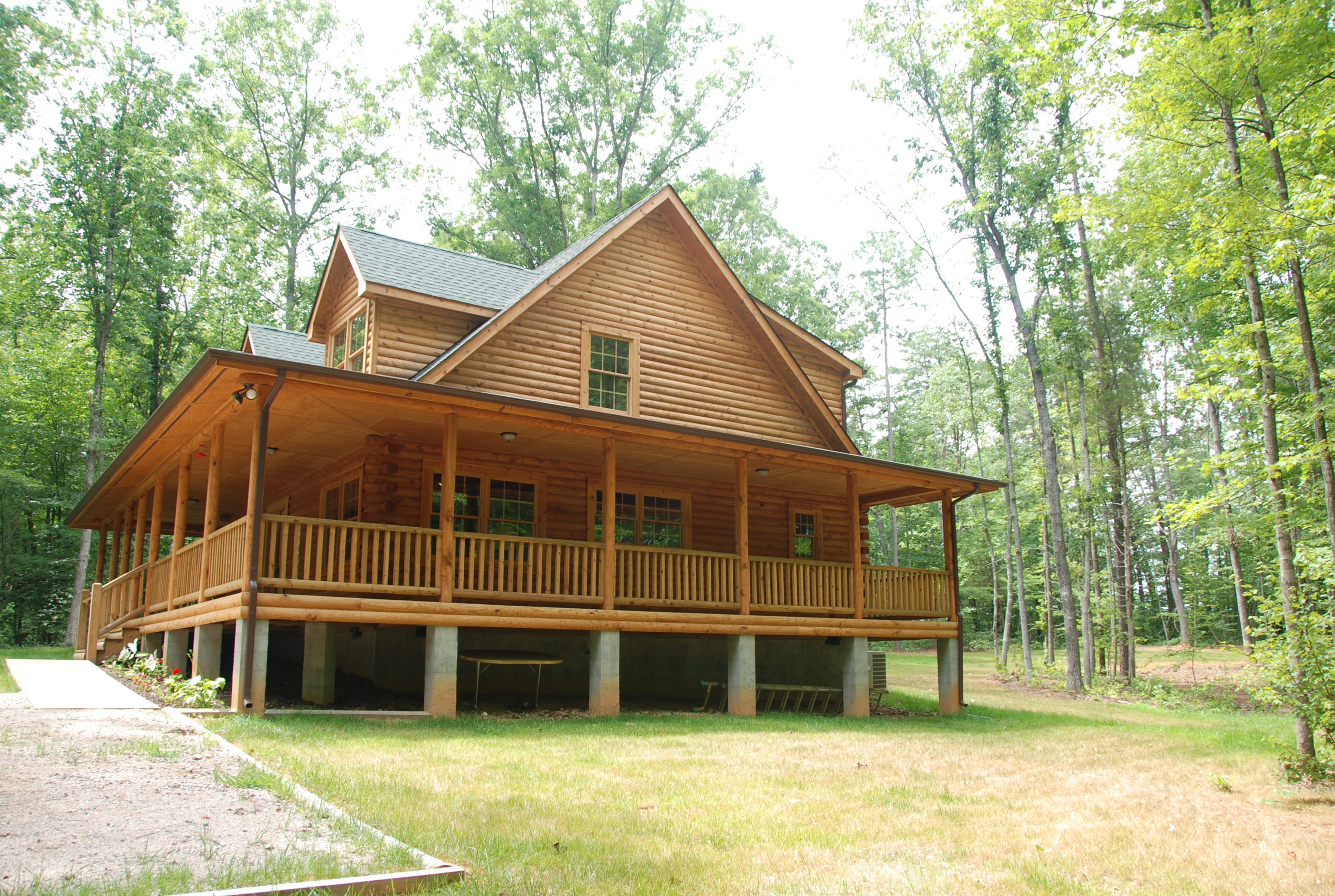
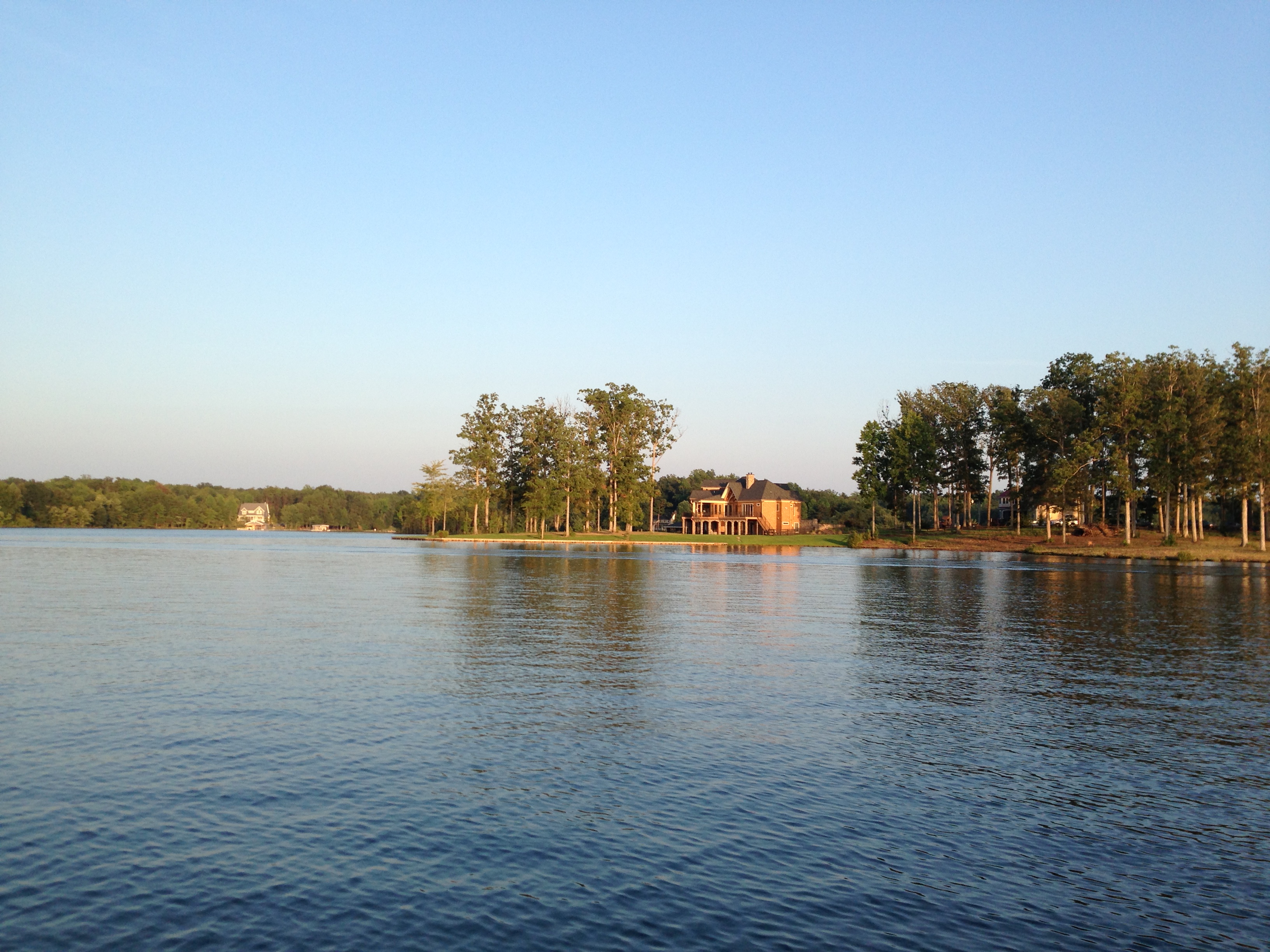
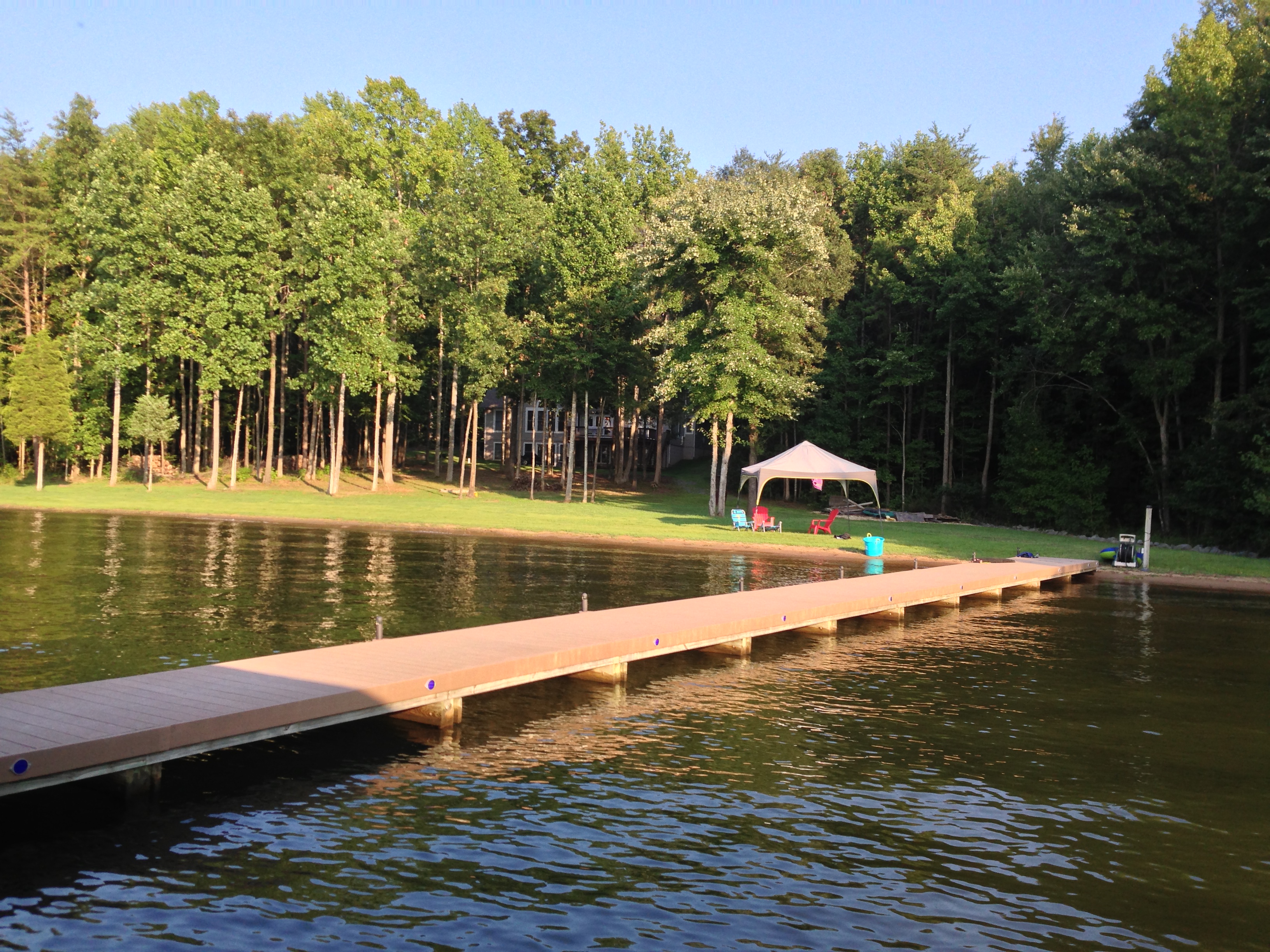
Lake Anna Log Home - Front View
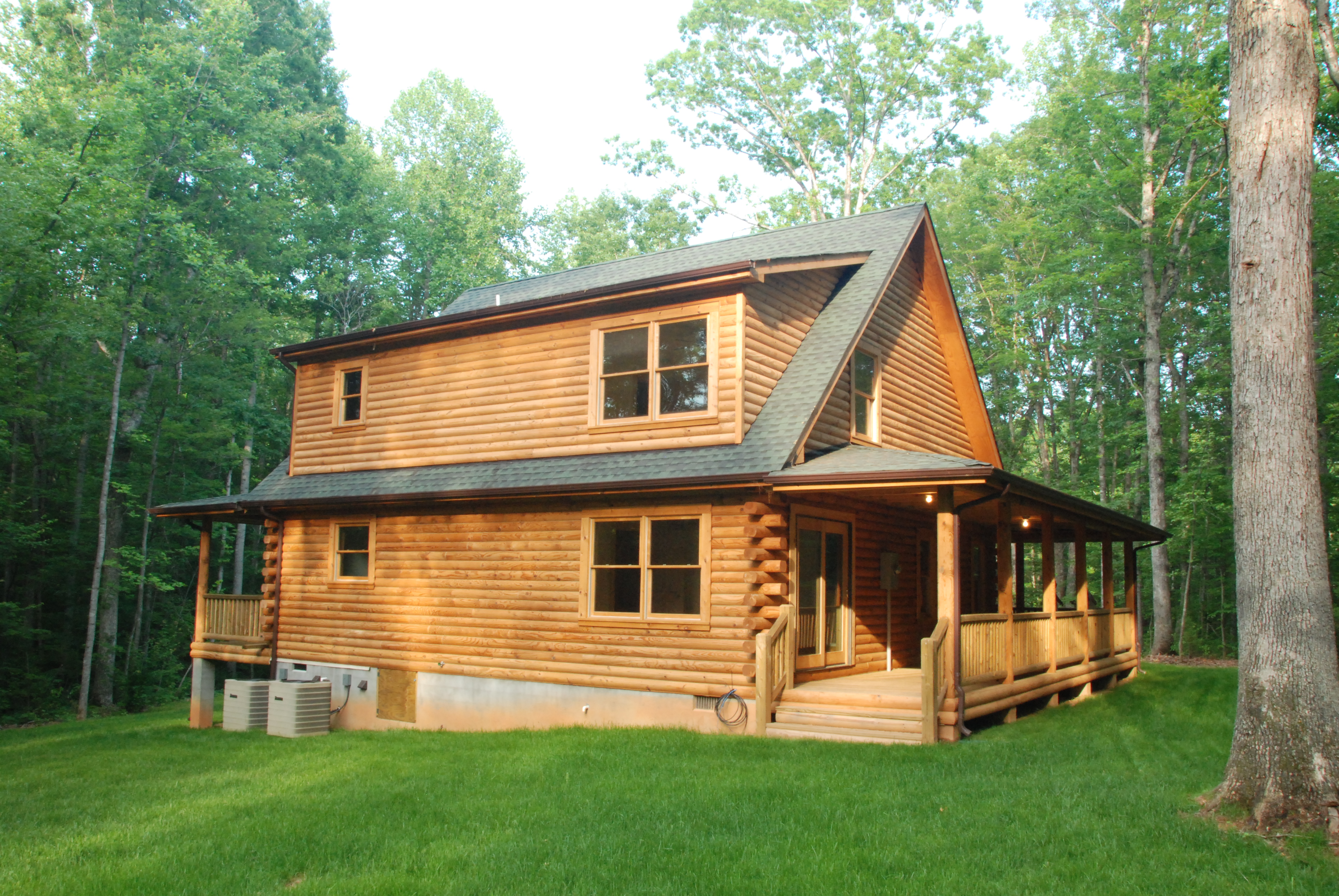
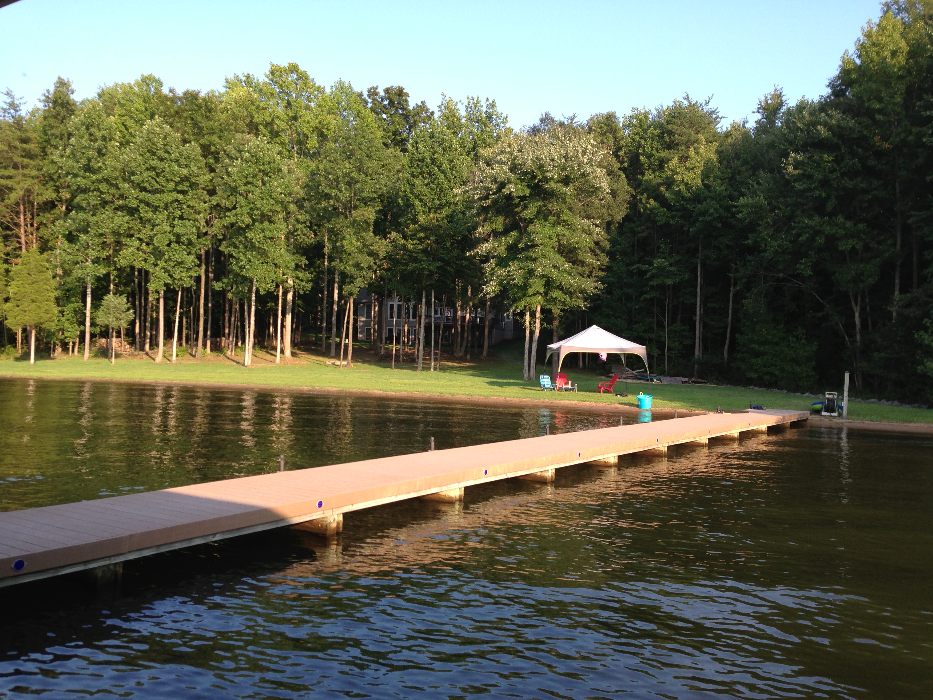
Log Home - Back View (afternoon light)

Dewberry Sunset 8
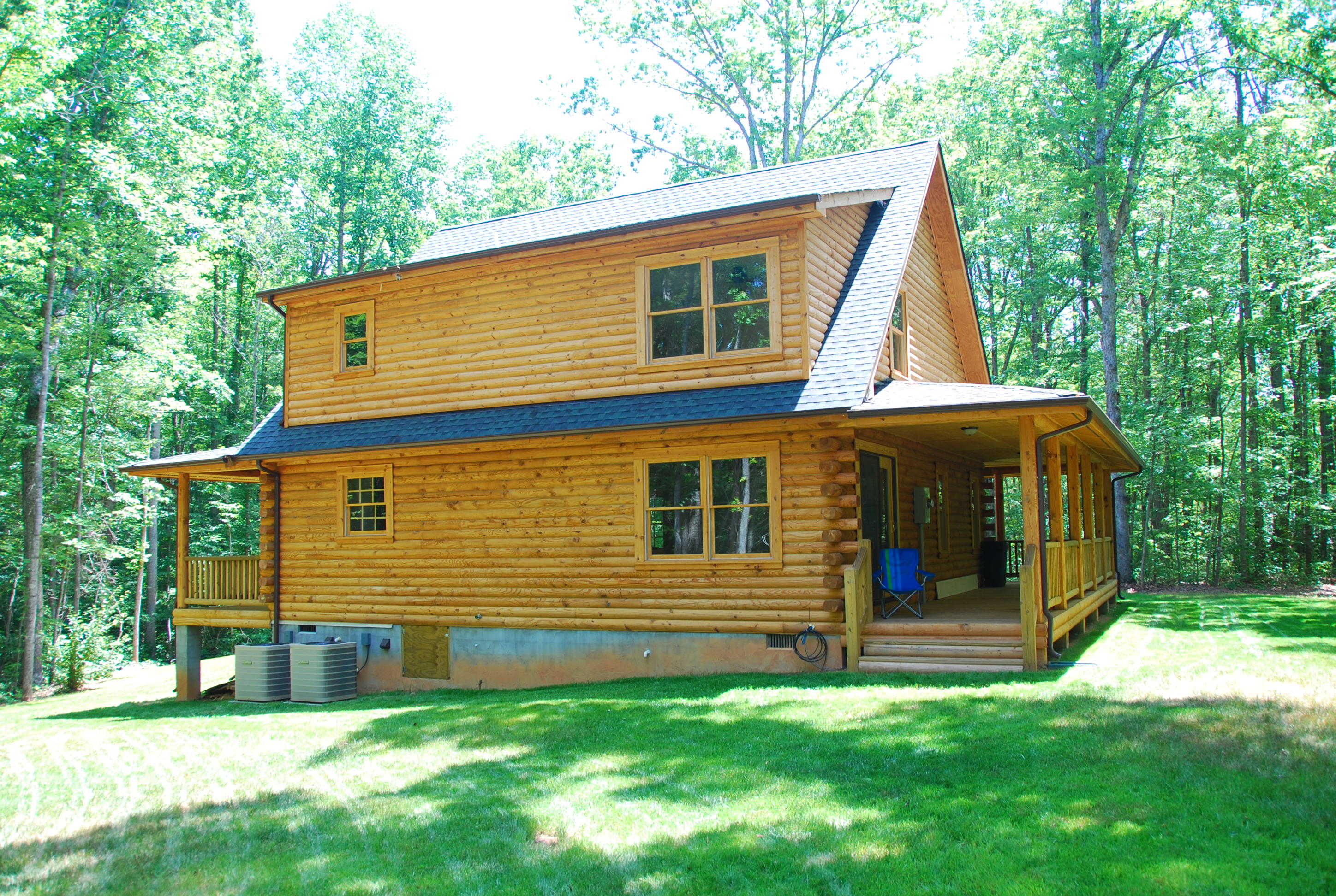
Log Home - Back View (morning light)
South West View
Day 146 - light the way
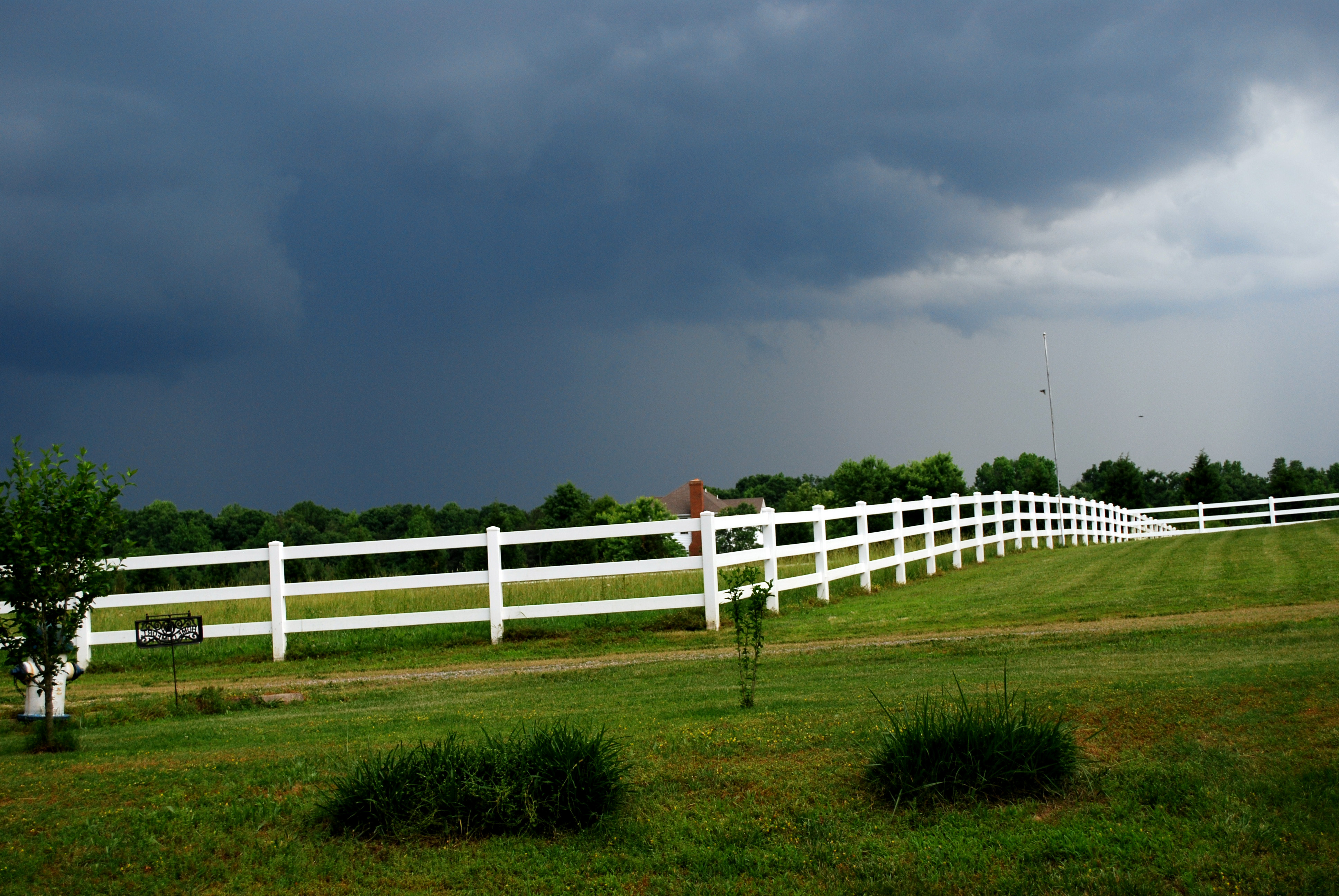
Day 126 - hanover storm
Future site of a Dolley and James Madison Statue
Downtown Beaverdam
Too Cold to Sit

Ziggy!

Lake Lane After the Snow
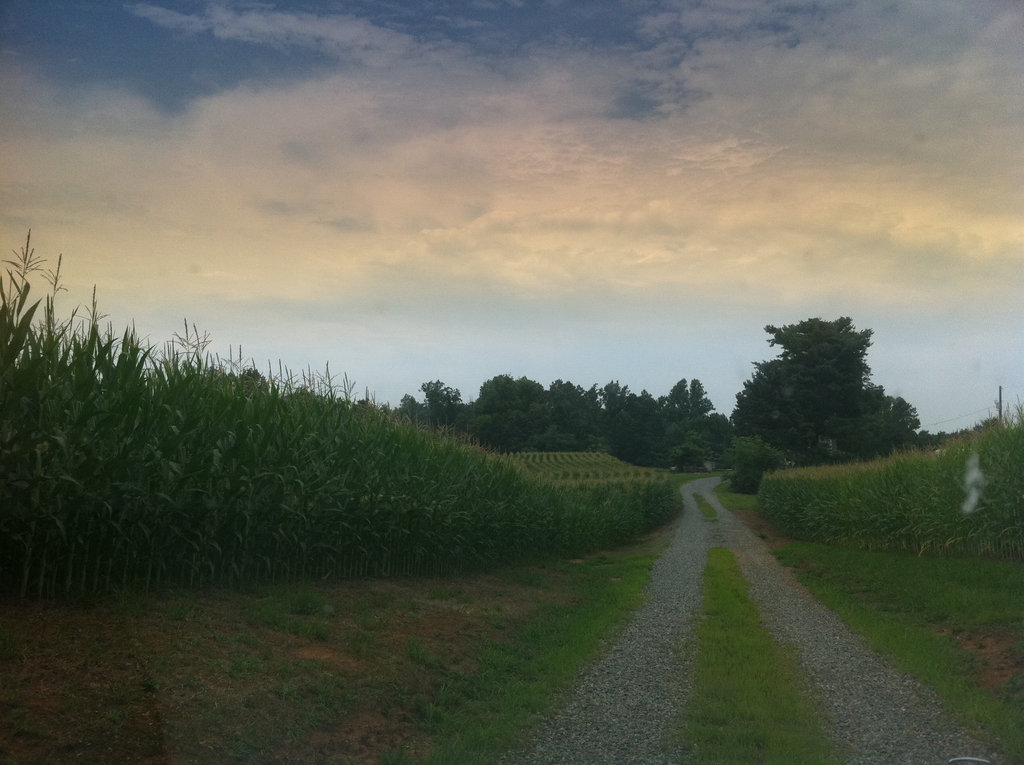
The corn is high at my mom's house.

Yellow-rumped (Myrtle) Warbler, Virginia
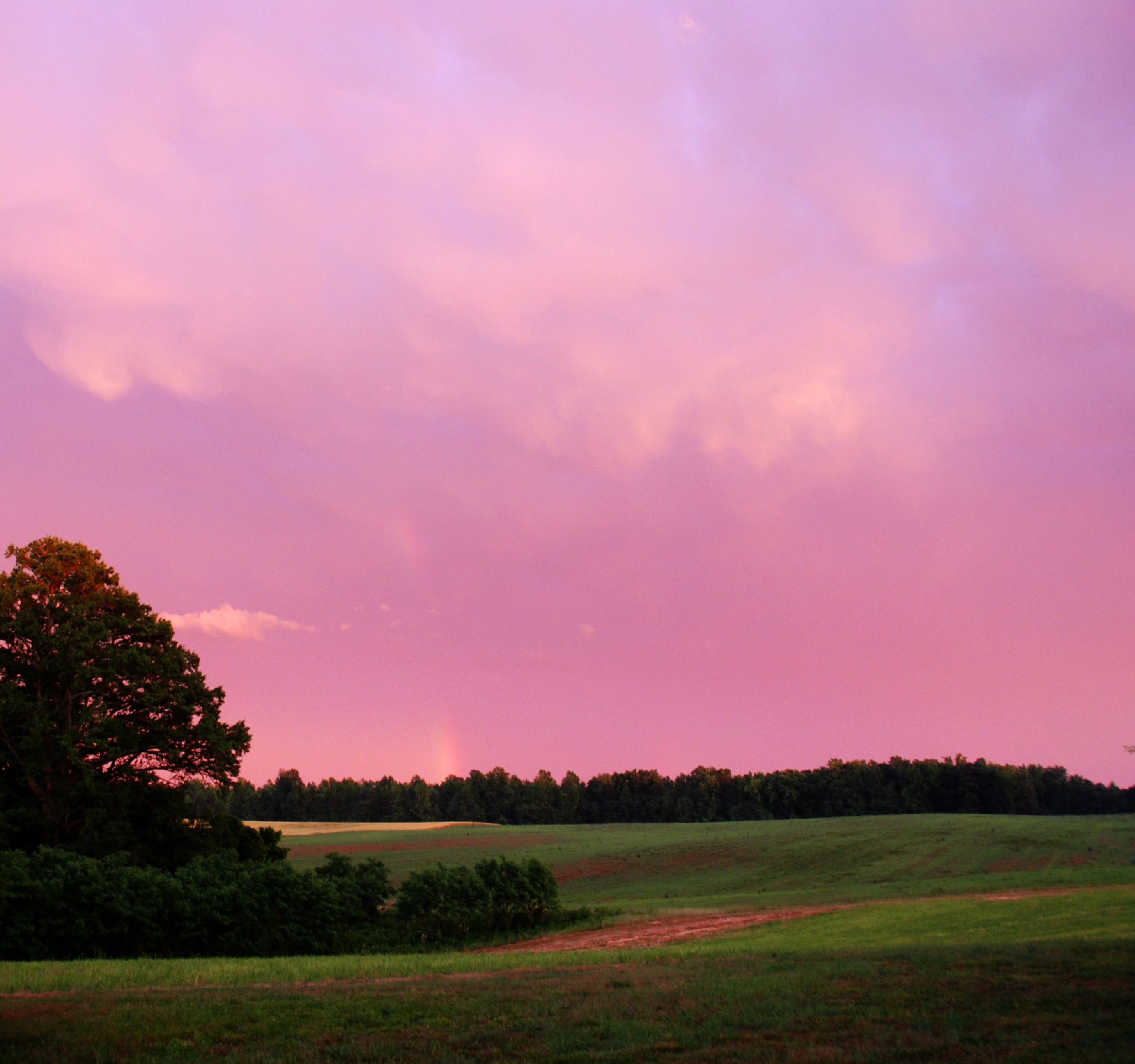
Dewberry Sunset 3
2013-08-30 19.07.07

2013-08-30 19.07.08 HDR

2013-08-30 19.07.07
2013-08-30 19.07.08 HDR

The other side of Moody Town Rd @sawyer_and

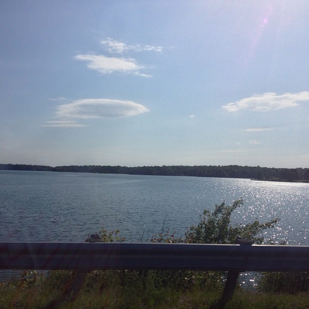
Water World
The other side of Moody Town Rd @sawyer_and

2013-09-01 09.04.43 HDR

fpu_tmp_1378300191.5124_62bda8
2013-09-01 09.04.43 HDR
fpu_tmp_1378299921.6372_3df1db
2013-08-30 18.16.33

2013-08-30 18.16.34 HDR

2013-08-30 18.16.33
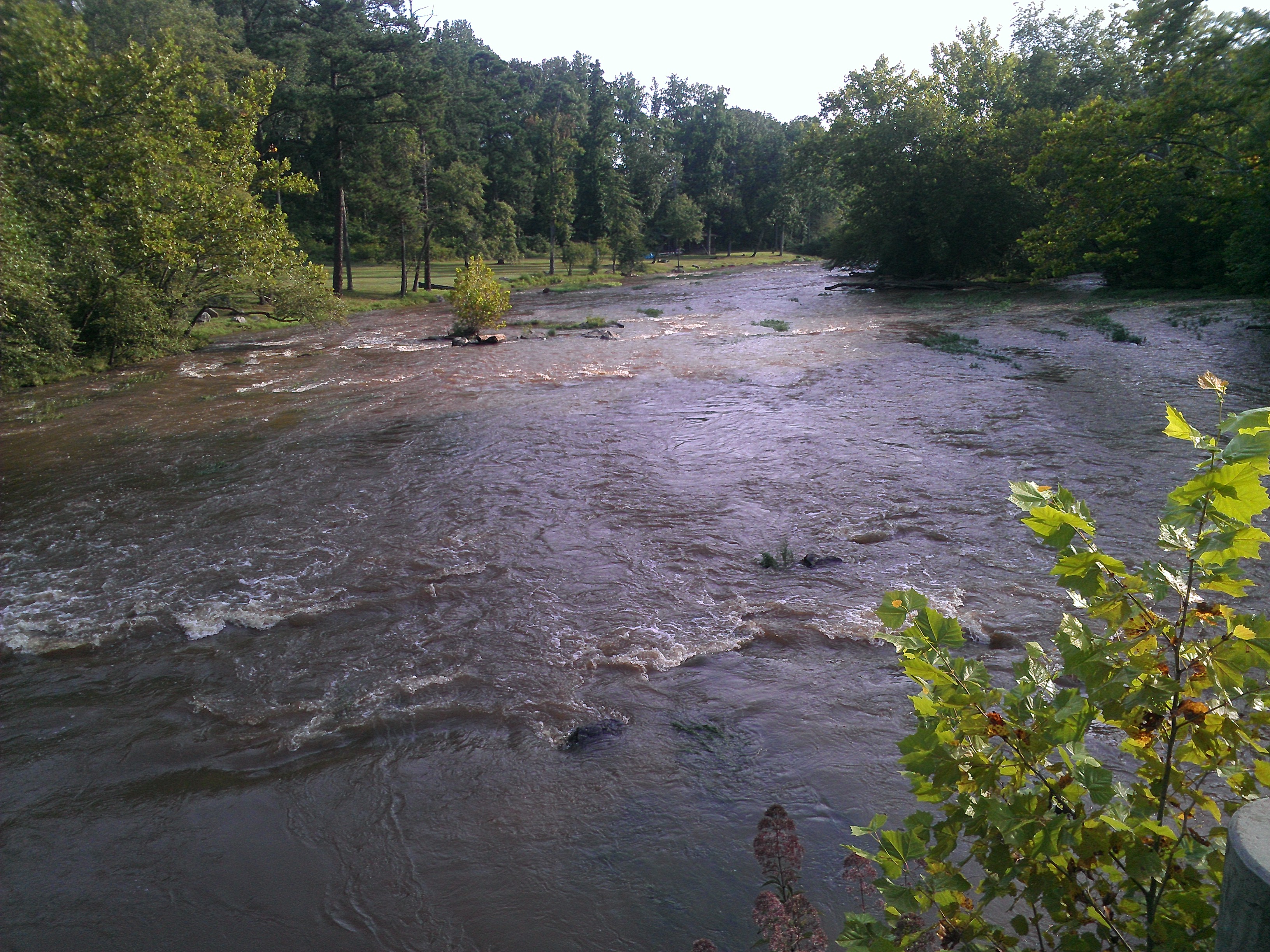
South Anna river near Montpelier, VA
Topographic Map of Shiloh Church Rd, Montpelier, VA, USA
Find elevation by address:

Places near Shiloh Church Rd, Montpelier, VA, USA:
17404 Rocky Ford Rd
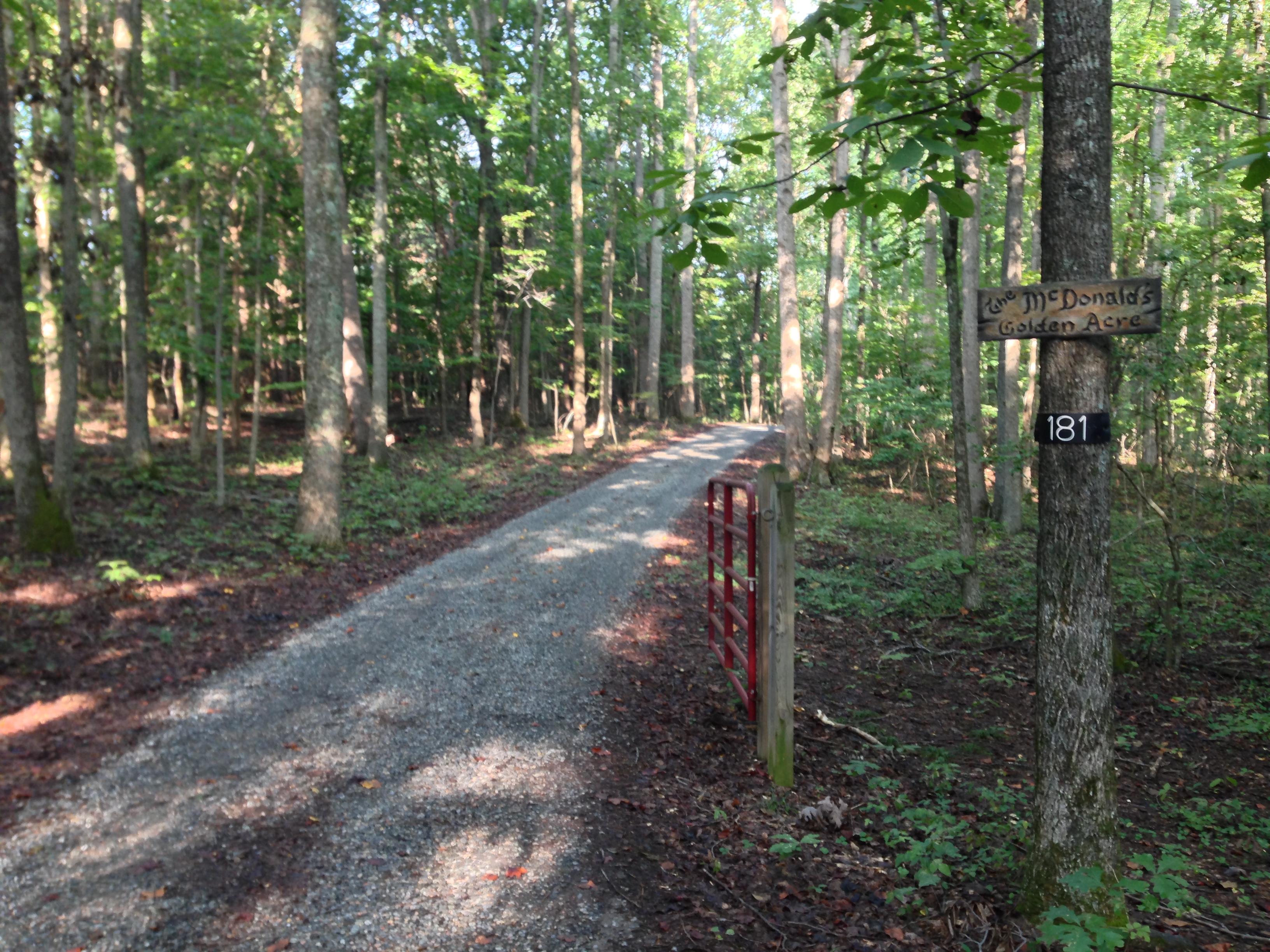
Blessed Lane
Jackson
18477 Dixie Belle Ln
Jefferson Hwy, Bumpass, VA, USA
South Anna
18621 Rolling Meadows Trail
Bumpass
Bumpass Rd, Bumpass, VA, USA
Bumpass, VA, USA
5240 Buckner Rd
Paynes Mill Rd, Bumpass, VA, USA
Buckner Rd, Bumpass, VA, USA
1043 Copper Line Rd
36 Factory Mill Rd, Bumpass, VA, USA
Cuckoo
Cuckoo
4675 E Grey Fox Rd
4675 E Gray Fox Cir
4625 Fox Chase Run
Recent Searches:
- Elevation of Corso Fratelli Cairoli, 35, Macerata MC, Italy
- Elevation of Tallevast Rd, Sarasota, FL, USA
- Elevation of 4th St E, Sonoma, CA, USA
- Elevation of Black Hollow Rd, Pennsdale, PA, USA
- Elevation of Oakland Ave, Williamsport, PA, USA
- Elevation of Pedrógão Grande, Portugal
- Elevation of Klee Dr, Martinsburg, WV, USA
- Elevation of Via Roma, Pieranica CR, Italy
- Elevation of Tavkvetili Mountain, Georgia
- Elevation of Hartfords Bluff Cir, Mt Pleasant, SC, USA