Elevation of Blessed Lane, Blessed Ln, South Anna, VA, USA
Location: United States > Virginia > Hanover County > South Anna > Montpelier >
Longitude: -77.711564
Latitude: 37.830517
Elevation: 98m / 322feet
Barometric Pressure: 100KPa
Elevation Map:
Satellite Map:
Related Photos:
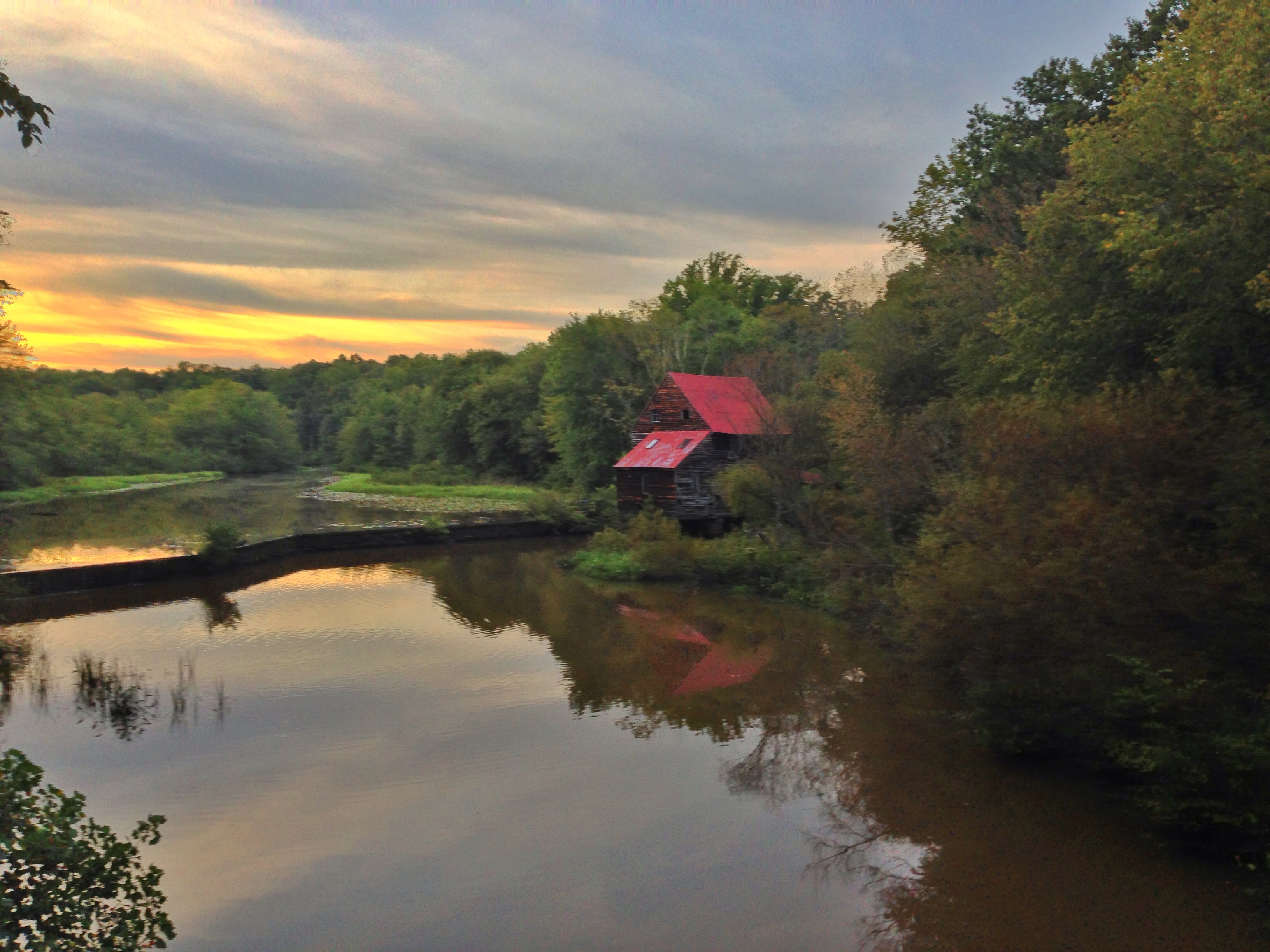
Woodson's Mill, river side
Downtown Beaverdam

South Anna River.jpg
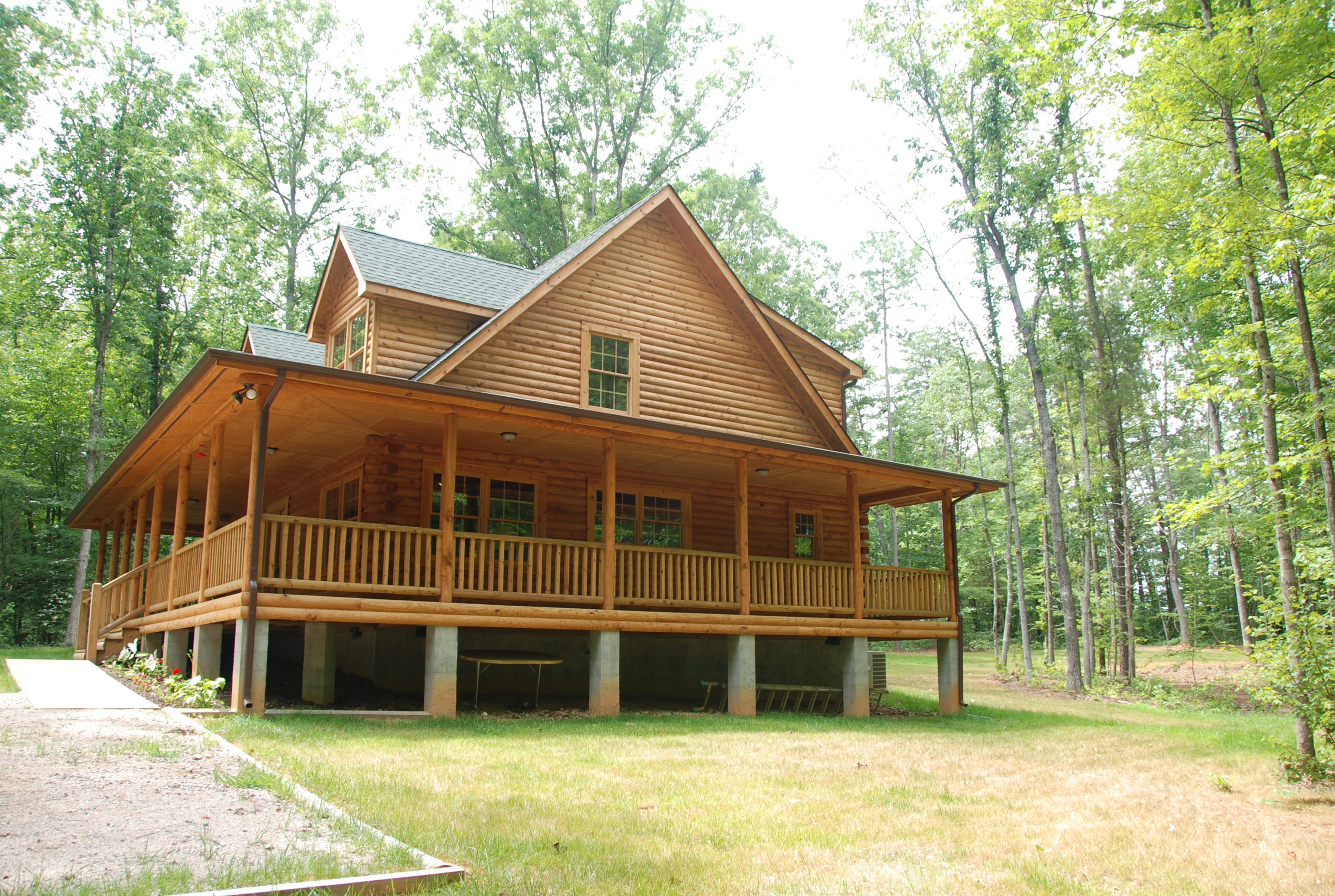
Lake Anna Log Home - Front View
Broken home

Dewberry Sunset 7

Dewberry Sunset 2
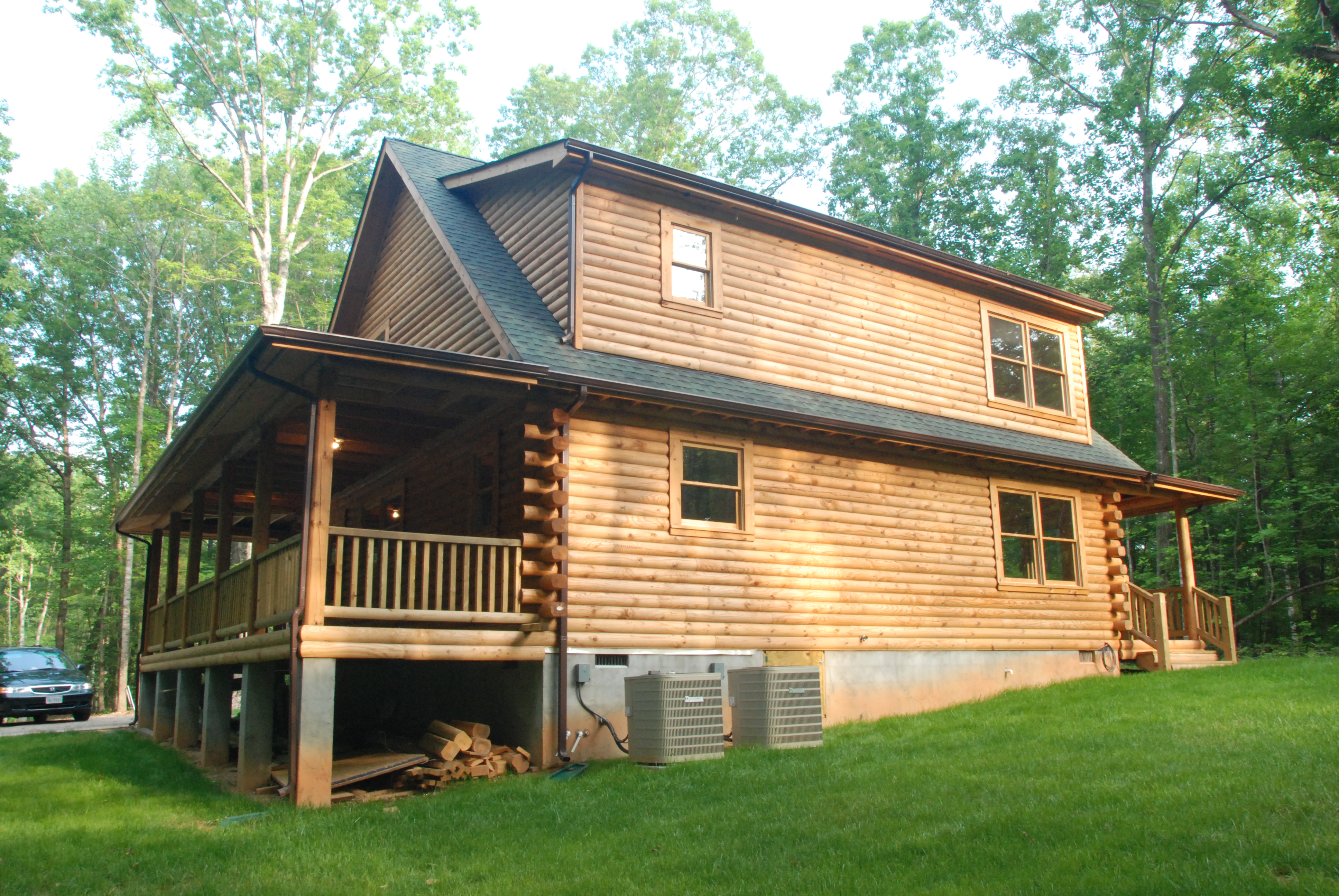
South East View
Log Home - Back View (morning light)
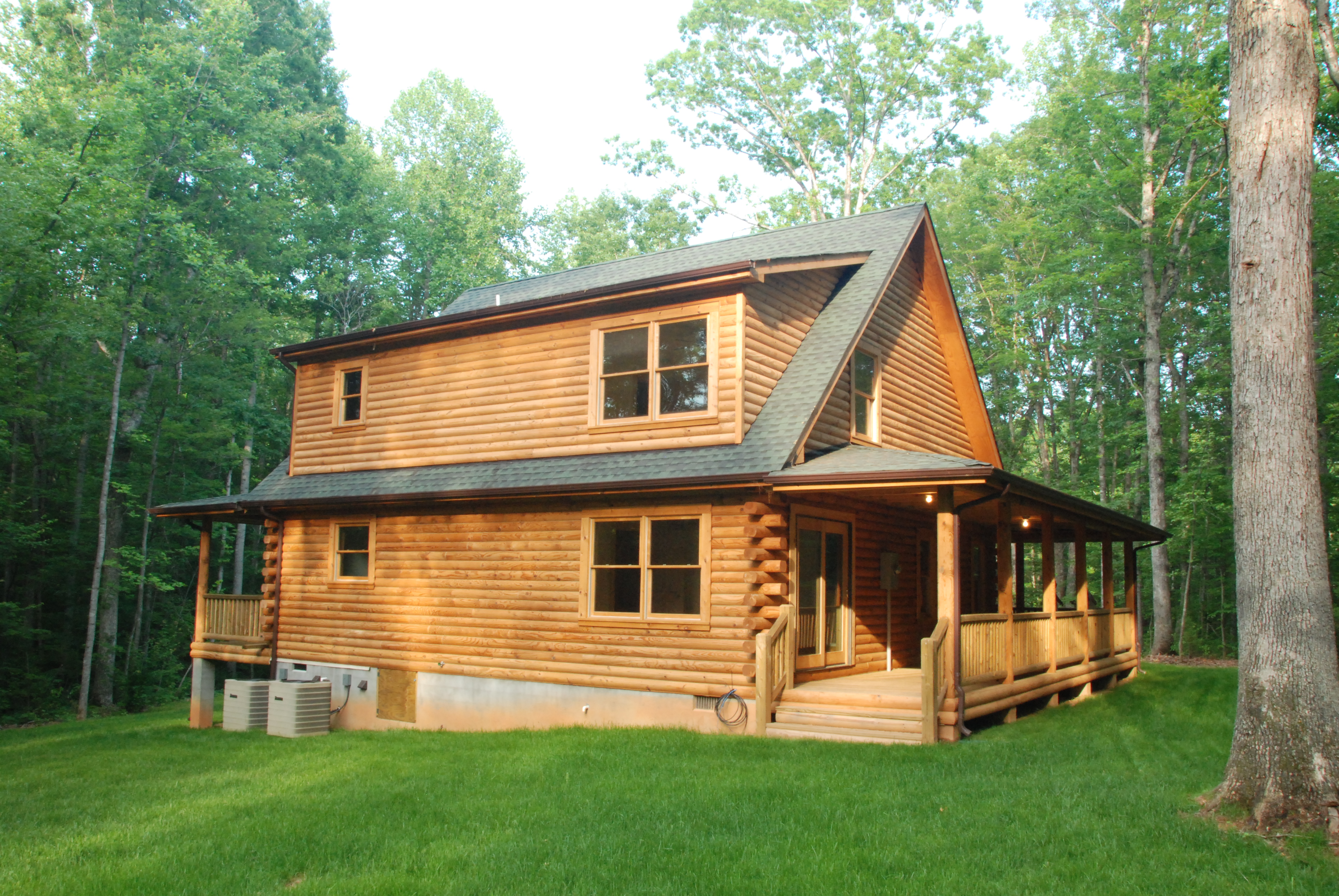
Log Home - Back View (afternoon light)
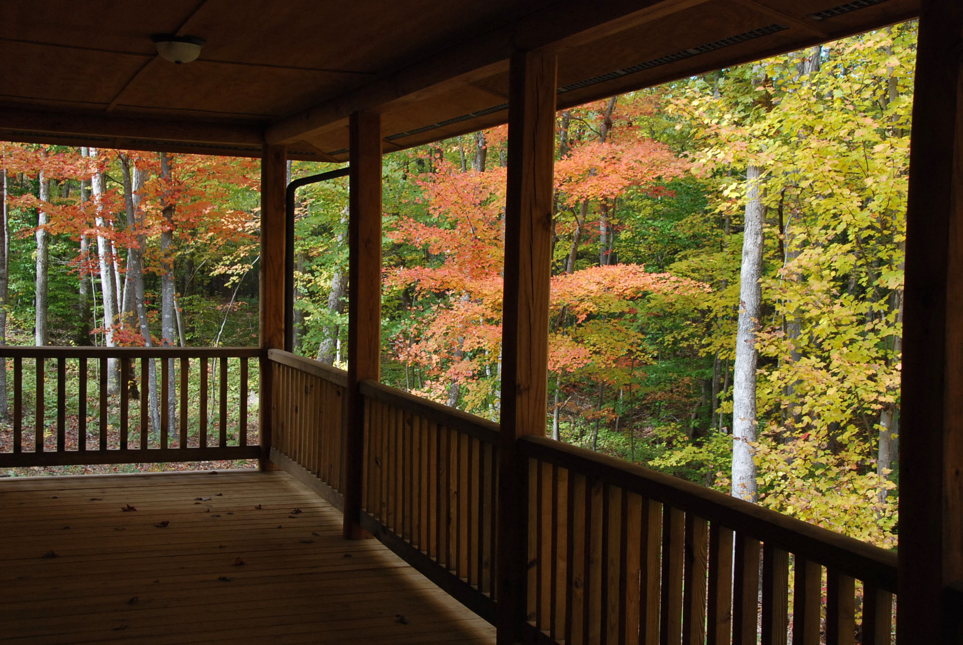
View Off the North Porch
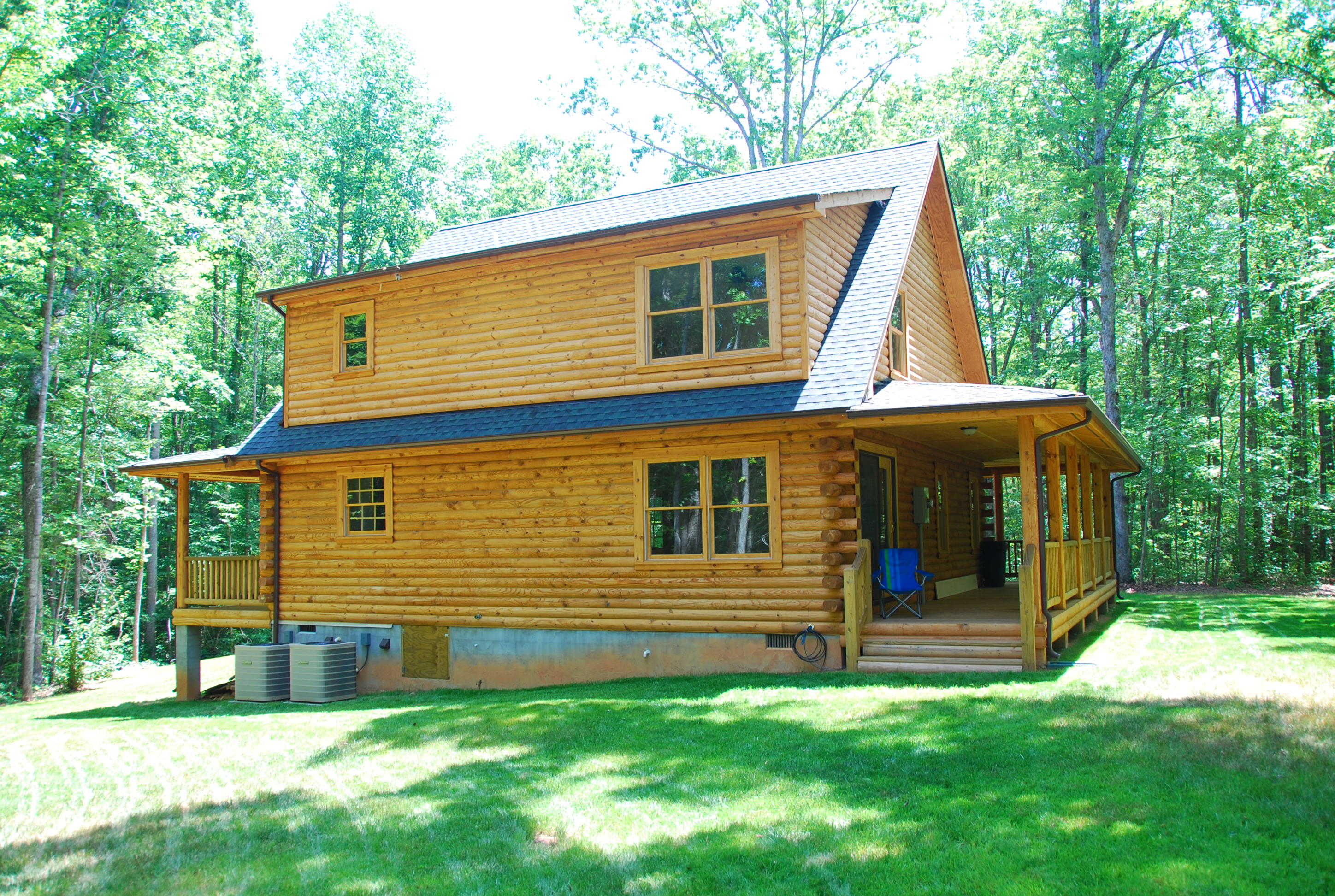
South West View

beautiful #amazing #scenic #view #nature #hiking...
Future site of a Dolley and James Madison Statue
Woodson's Mill
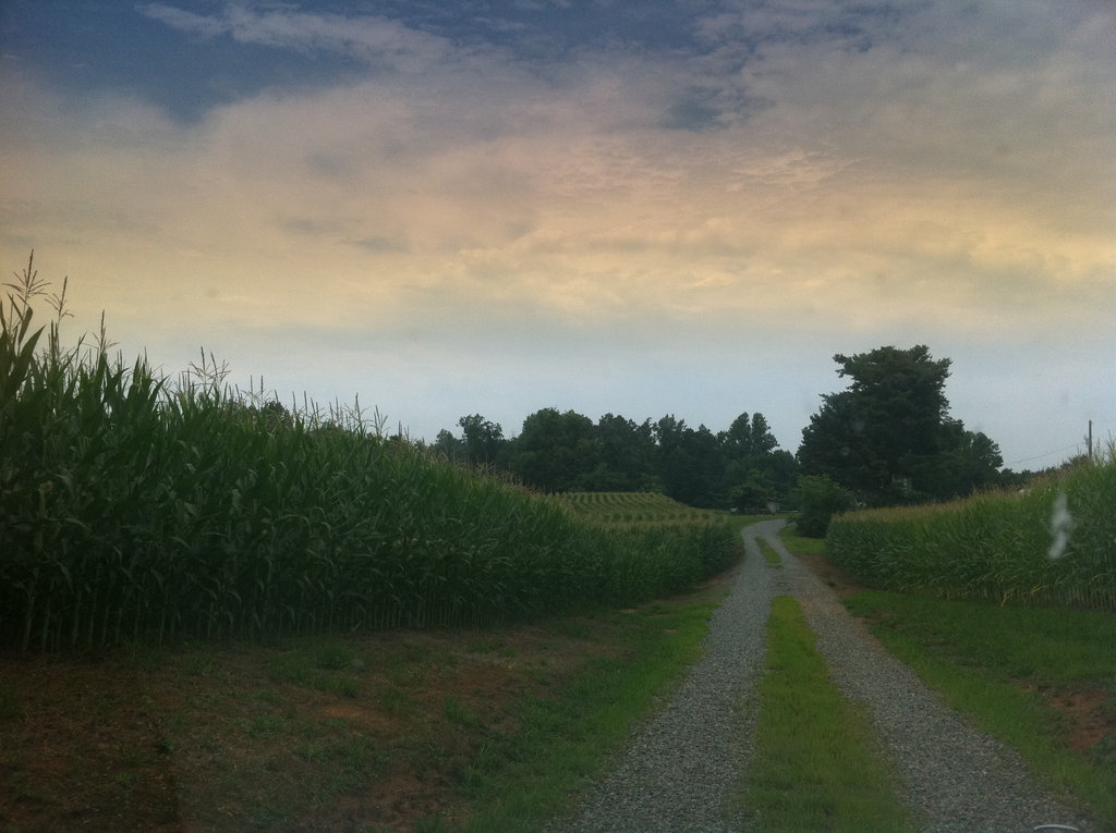
The corn is high at my mom's house.

X-COUNTRY-POWERLINES 3.1
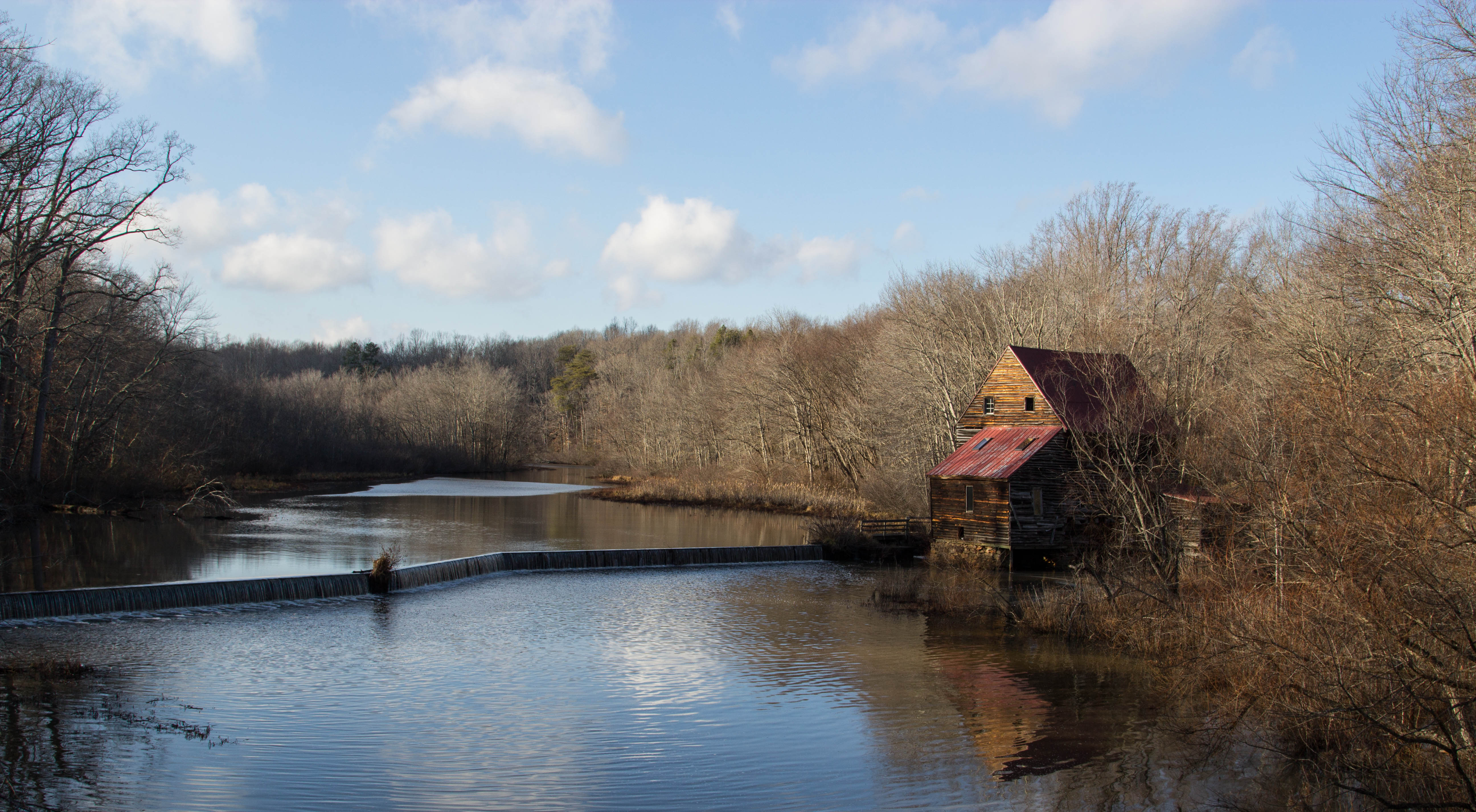
Woodson's Mill, Hanover Virginia

Little House on the Foothills

Central Virginia Landscape

Yellow-rumped (Myrtle) Warbler, Virginia

Sunset in Goochland 2
IMG_8331.jpg
Foggy Morning in Hanover

Sunset in Goochland 4

Sunset in Goochland 5
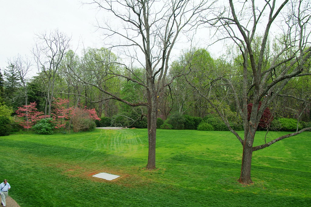
Montpelier Grounds
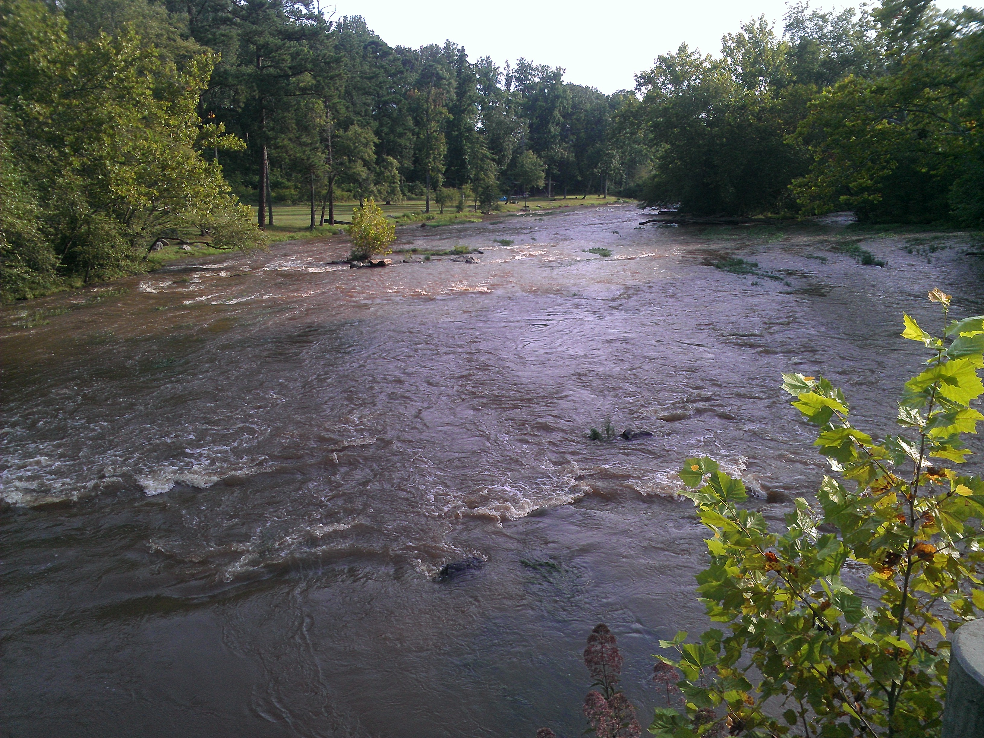
South Anna river near Montpelier, VA

First Visit to the Pumpkin Patch #EllieJane
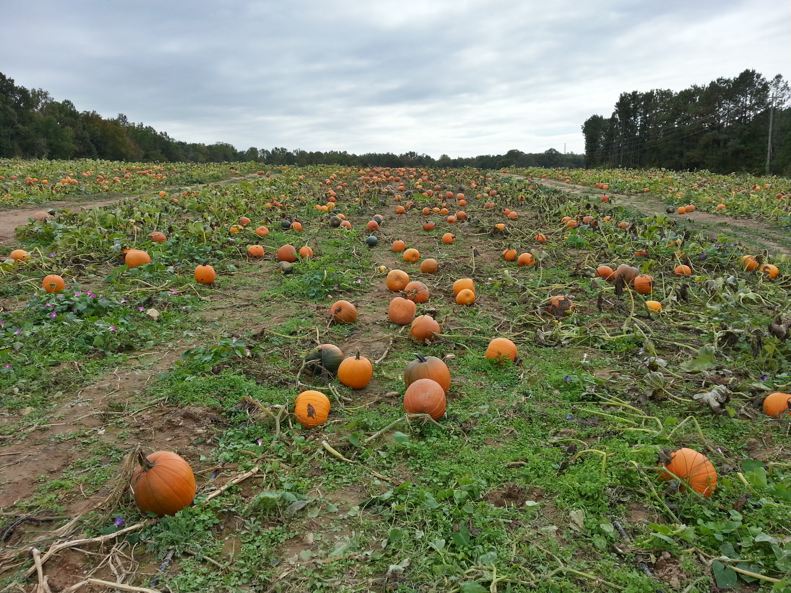
Ashland Berry Farm - Pumpkin Patch
Riverside Baptist Church 20057 Teman Rd Beaverdam, Va 20131102_17.jpg
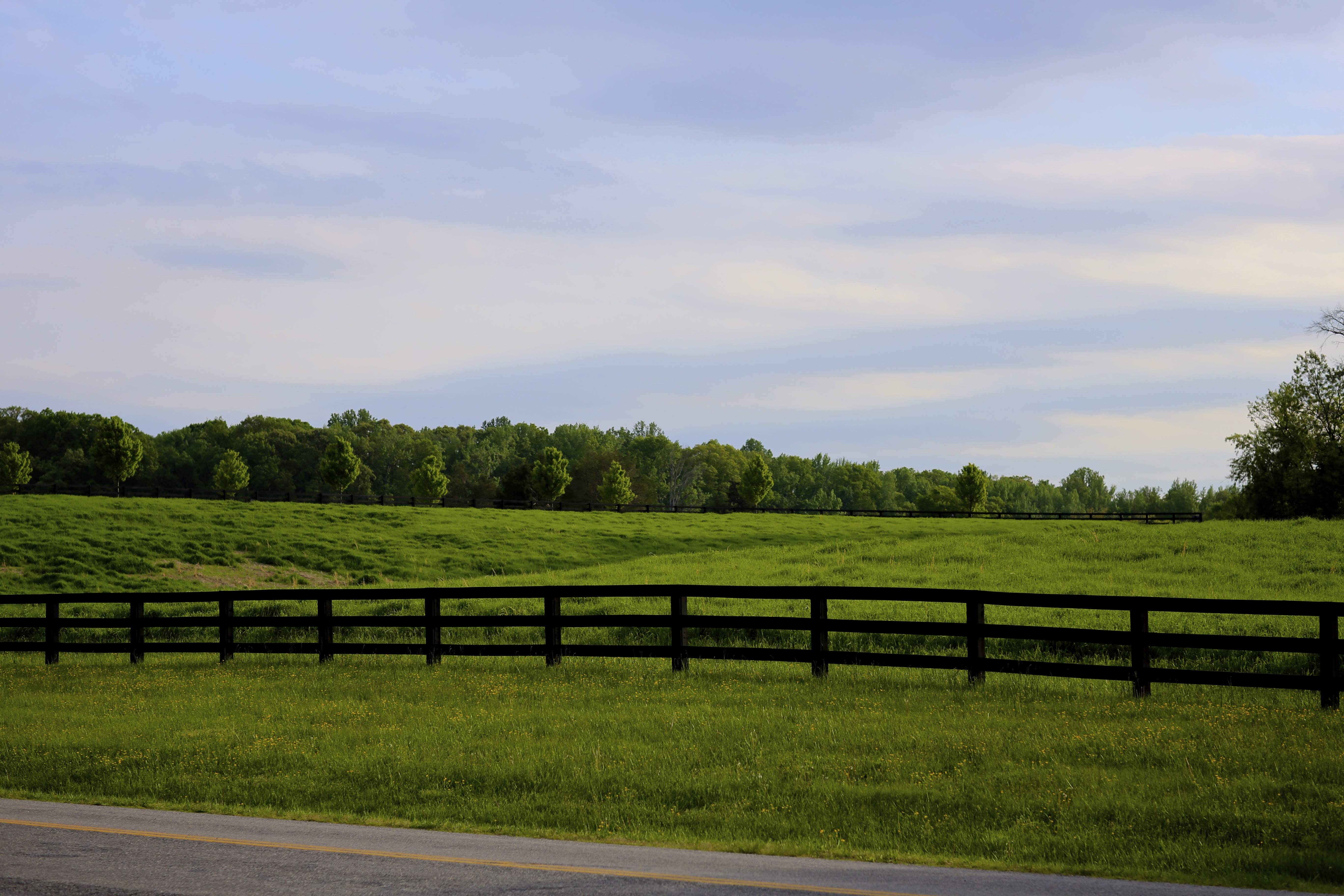
green fields, blue skies

Dewberry Sunset 3
Topographic Map of Blessed Lane, Blessed Ln, South Anna, VA, USA
Find elevation by address:

Places near Blessed Lane, Blessed Ln, South Anna, VA, USA:
18477 Dixie Belle Ln
South Anna
18621 Rolling Meadows Trail
17324 Shiloh Church Rd
17404 Rocky Ford Rd
Jefferson Hwy, Bumpass, VA, USA
Jackson
36 Factory Mill Rd, Bumpass, VA, USA
1043 Copper Line Rd
Paynes Mill Rd, Bumpass, VA, USA
Bumpass, VA, USA
Bumpass
Bumpass Rd, Bumpass, VA, USA
5240 Buckner Rd
Buckner Rd, Bumpass, VA, USA
Cuckoo
4675 E Grey Fox Rd
4675 E Gray Fox Cir
4625 Fox Chase Run
Shepherd Spring Rd, Gum Spring, VA, USA
Recent Searches:
- Elevation of Corso Fratelli Cairoli, 35, Macerata MC, Italy
- Elevation of Tallevast Rd, Sarasota, FL, USA
- Elevation of 4th St E, Sonoma, CA, USA
- Elevation of Black Hollow Rd, Pennsdale, PA, USA
- Elevation of Oakland Ave, Williamsport, PA, USA
- Elevation of Pedrógão Grande, Portugal
- Elevation of Klee Dr, Martinsburg, WV, USA
- Elevation of Via Roma, Pieranica CR, Italy
- Elevation of Tavkvetili Mountain, Georgia
- Elevation of Hartfords Bluff Cir, Mt Pleasant, SC, USA