Elevation of Louisa County, VA, USA
Location: United States > Virginia >
Longitude: -77.973865
Latitude: 37.9925909
Elevation: 146m / 479feet
Barometric Pressure: 100KPa
Elevation Map:
Satellite Map:
Related Photos:
Road Trip (Northern Virginia)
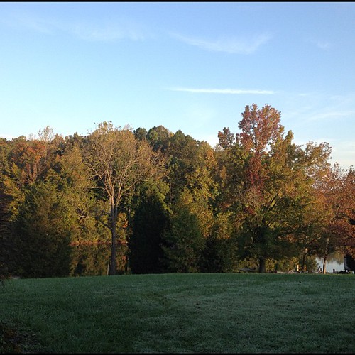
Woke up to this lovely fall view on he morning. #gratefull
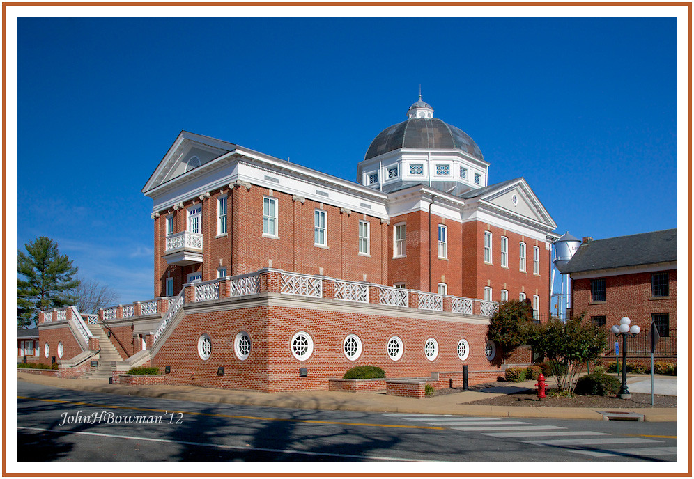
Louisa County (Virginia) Courthouse
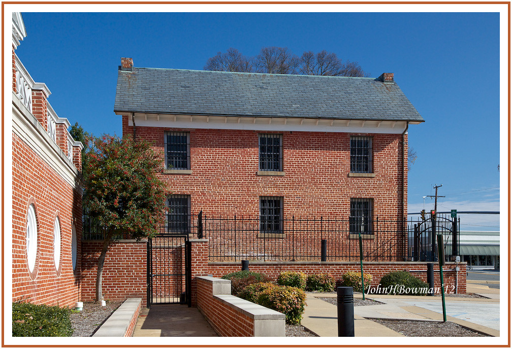
"One of the four worst jails in the Commonwealth" - 1967 report
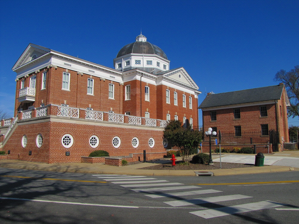
Side View of Louisa (VA) Courthouse

Louisa Courthouse
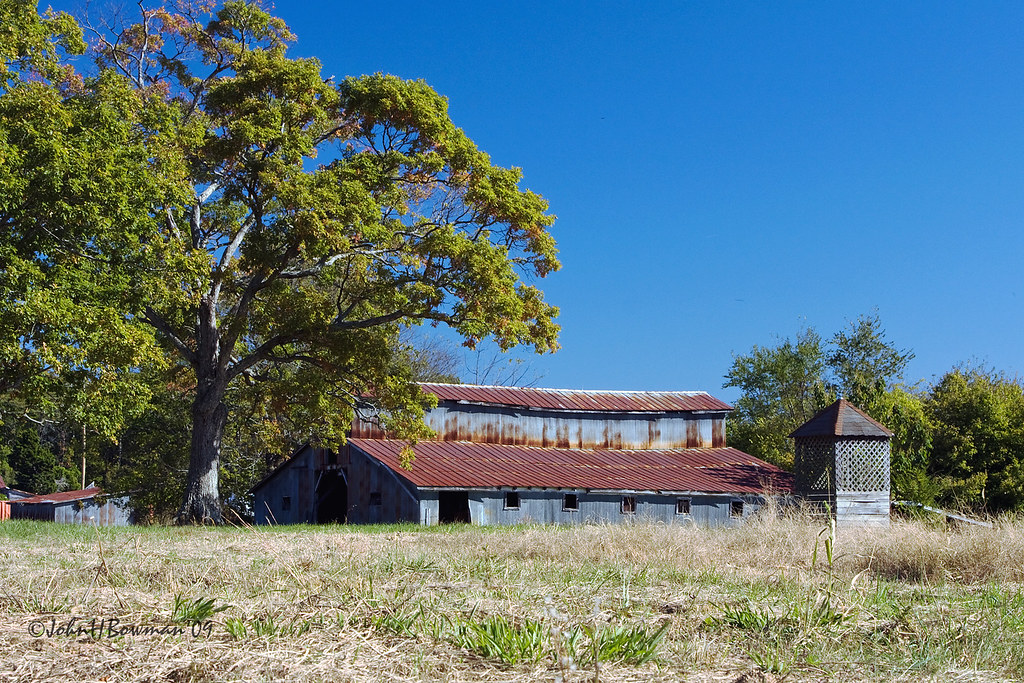
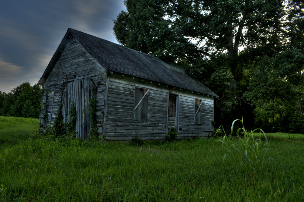
Rusty Barn

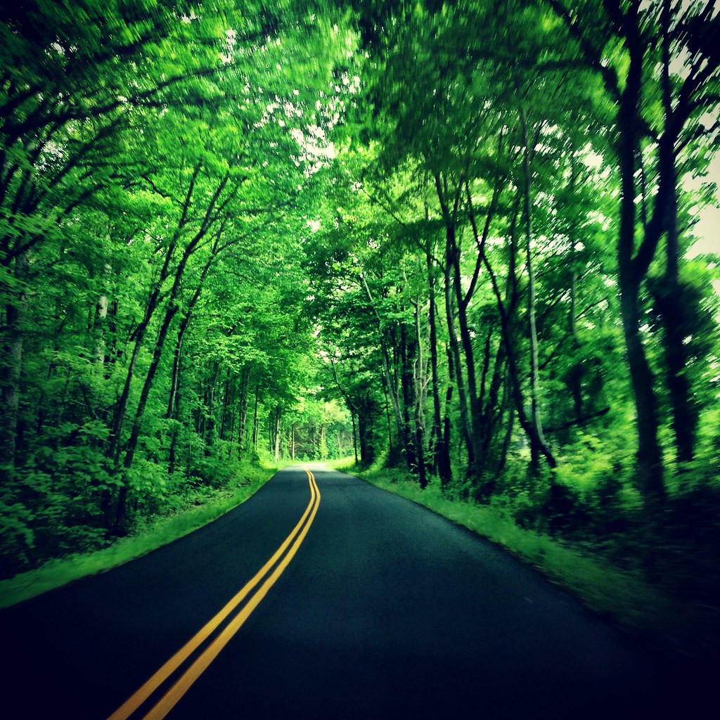
Viewing Americana
God, I made a huge mistake. Please protect me from making that mistake again. Amen
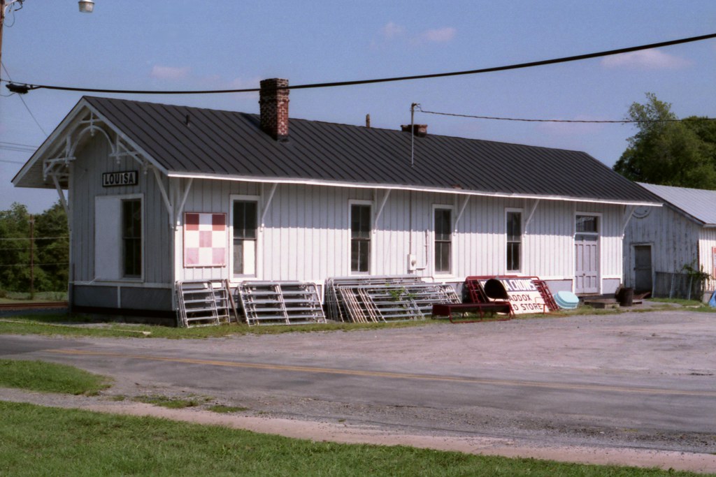
Louisa Depot
I'm Already There
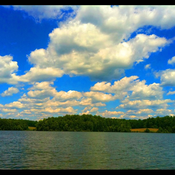
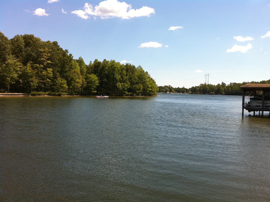
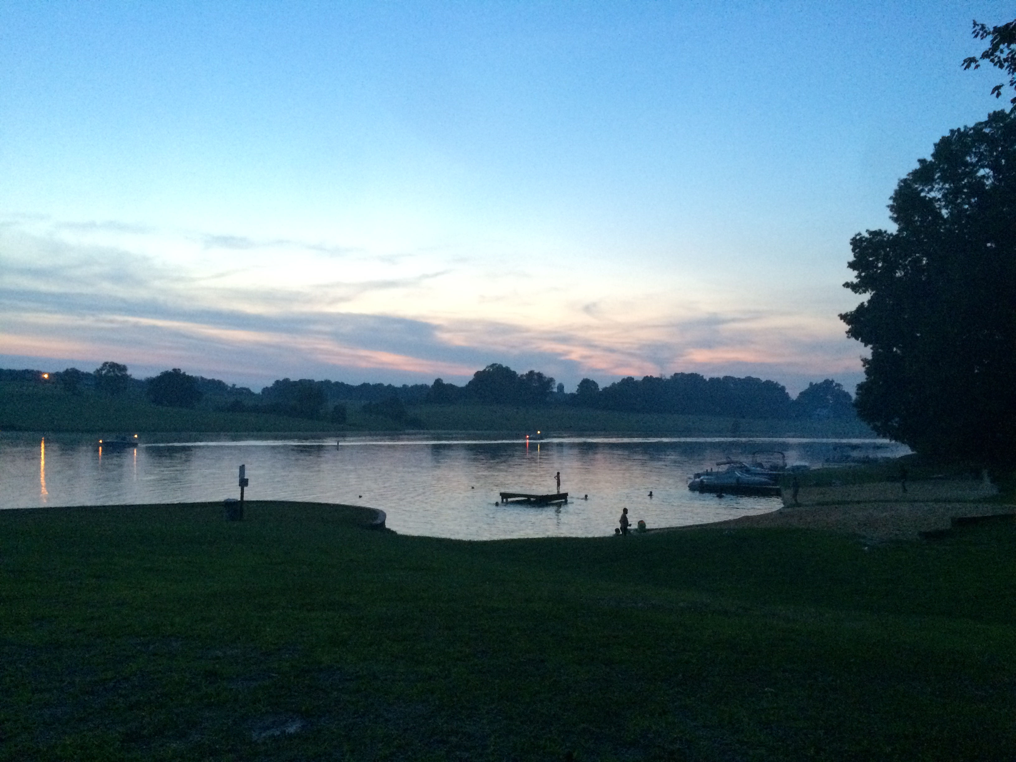
Clouds over Lake Anna #LakeAnna #HDR #nofilter
Heading back to the land of high speed Internet!
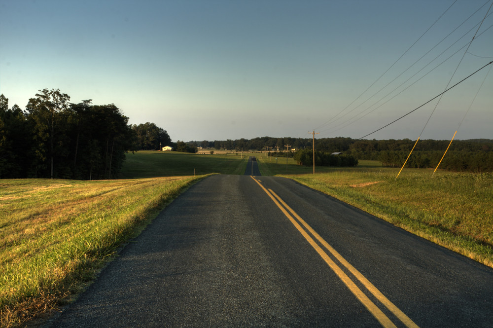
Road Trip (Northern Virginia)

Photos/Videos from your Sprint device

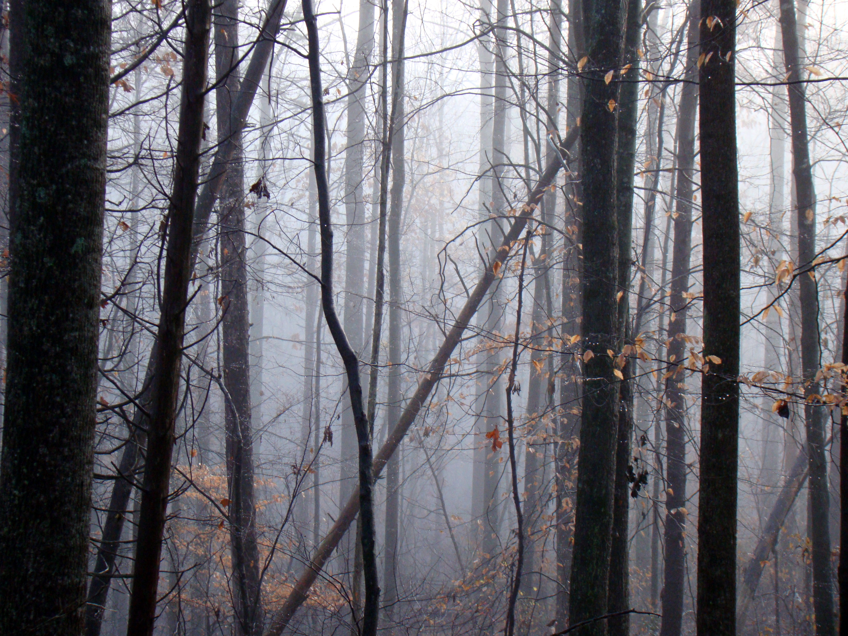
old scars

looking down

fall cacade
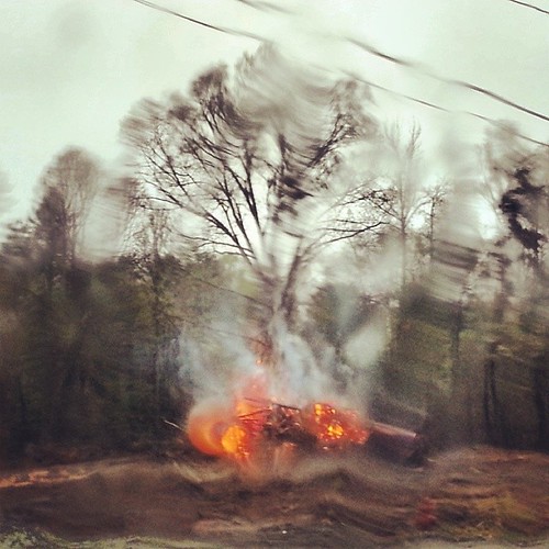
#piedmont brush #fire in the #rain. #landscape

dangerous liason
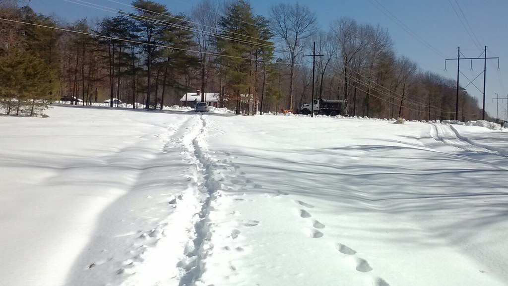
YAAAAA! They just scraped our road!

here's where i fell
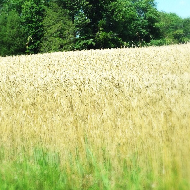
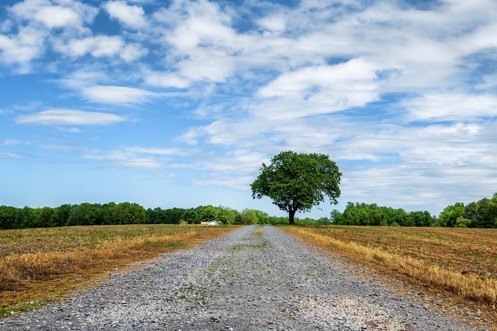
Wheat Field

old friend reading the paper
Sleepy Hollow
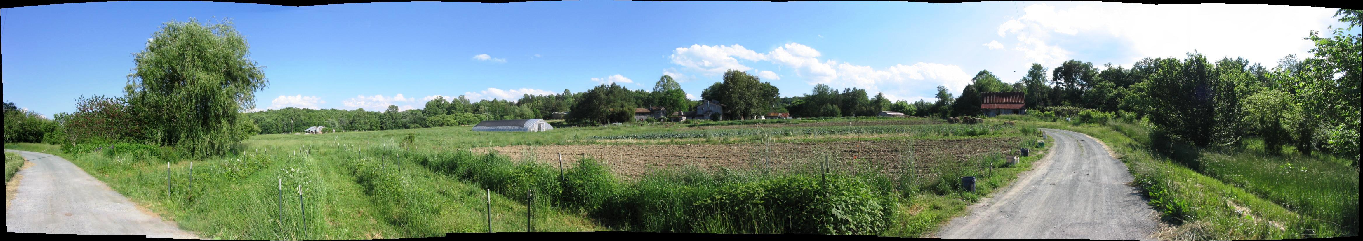
Twin Oaks Panorama

BAILEY'S DRUG STORE
Doesn't get much better than this.
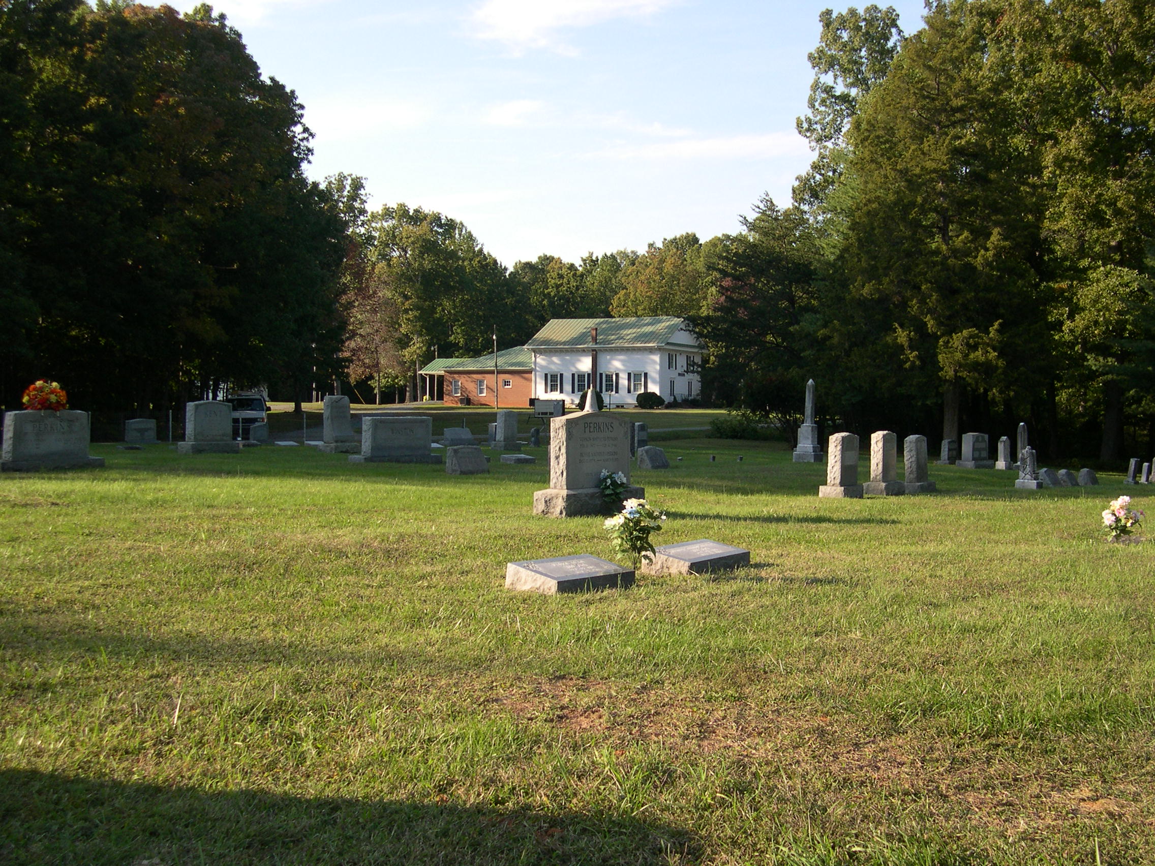
Beulah Baptist Church and Cemetary 29
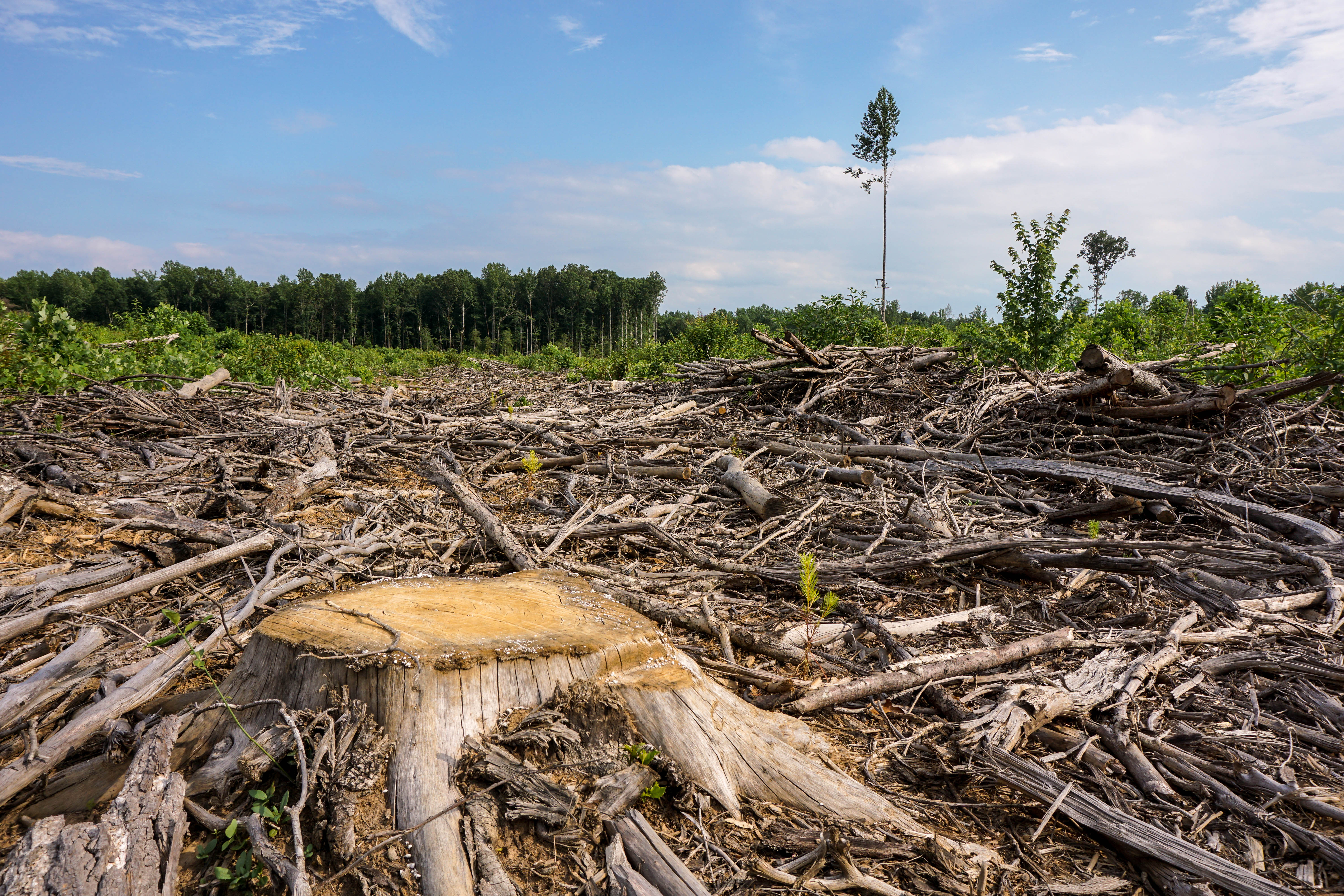
Tree stump and lone-standing tree on a horizon of downed forest
Lake Anna bike trip 2015
Topographic Map of Louisa County, VA, USA
Find elevation by address:

Places in Louisa County, VA, USA:
Green Spring
Jackson
Mountain Road
Cuckoo
Louisa
Mineral
Chalklevel Rd, Louisa, VA, USA
Mineral Ave, Mineral, VA, USA
Patrick Henry
Places near Louisa County, VA, USA:
Louisa
1001 Kennon Rd
1648 Kennon Rd
410 Ellisville Dr
Chalklevel Rd, Louisa, VA, USA
Mineral Ave, Mineral, VA, USA
Mineral
Louisa
Mineral
3015 Kents Mill Rd
527 Firehouse Dr
838 S Lakeshore Dr
1128 S Lakeshore Dr
1808 S Lakeshore Dr
2128 S Lakeshore Dr
66 S Lakeshore Dr
66 S Lakeshore Dr
66 N Lakeshore Dr
603 N Lakeshore Dr
Bennet Farm Road
Recent Searches:
- Elevation of Corso Fratelli Cairoli, 35, Macerata MC, Italy
- Elevation of Tallevast Rd, Sarasota, FL, USA
- Elevation of 4th St E, Sonoma, CA, USA
- Elevation of Black Hollow Rd, Pennsdale, PA, USA
- Elevation of Oakland Ave, Williamsport, PA, USA
- Elevation of Pedrógão Grande, Portugal
- Elevation of Klee Dr, Martinsburg, WV, USA
- Elevation of Via Roma, Pieranica CR, Italy
- Elevation of Tavkvetili Mountain, Georgia
- Elevation of Hartfords Bluff Cir, Mt Pleasant, SC, USA