Elevation of S Lakeshore Dr, Louisa, VA, USA
Location: United States > Virginia > Louisa County > Louisa > Louisa >

Longitude: -78.016004

Latitude: 38.1075732

Elevation: 98m / 322feet

Barometric Pressure: 100KPa

Elevation Map:

elevation map of S Lakeshore Dr, Louisa, VA, USA

Satellite Map:

Satellite map of S Lakeshore Dr, Louisa, VA, USA

Related Photos:

pakistan sky colour heritage weather fort royal mode lahore 40d sajjadphotoarts gettyimagespakistanq12012
an other view lahore fort lahore.
november virginia explore blueskies 2012 courthouses jails louisacounty nrhp canon24105l virginiacourthouses november2012 louisacourthouse louisajail
Louisa County (Virginia) Courthouse
virginia orangecounty gordonsville louisacounty
Gordonsville, Virginia
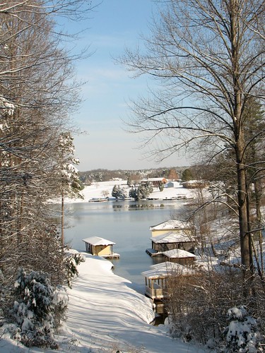
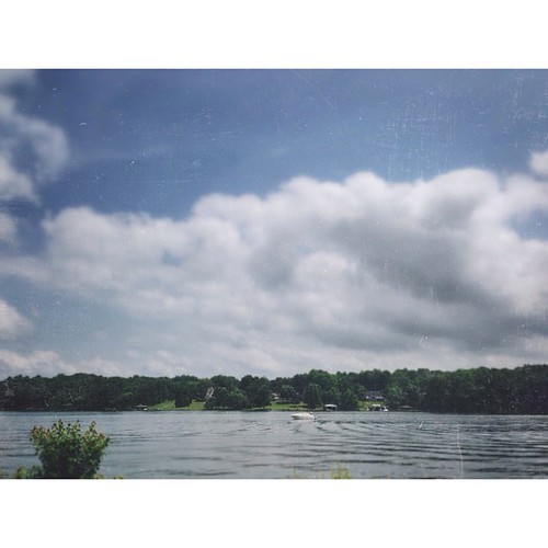
Lake View
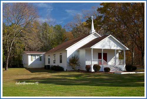
november virginia fallcolor churches blueskies orangecounty 2012 baptistchurches gordonsville canon24105l newhopebaptistchurch countrychurches november2012
New Hope Baptist Church
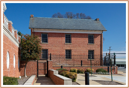
november virginia blueskies 2012 jails louisacounty canon24105l oldjails november2012 louisajail
"One of the four worst jails in the Commonwealth" - 1967 report
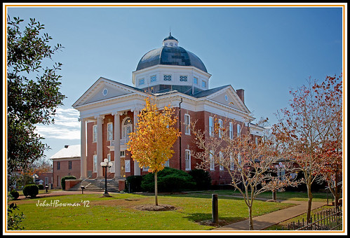
november virginia fallcolor 2012 courthouses jails louisacounty nrhp canon24105l virginiacourthouses november2012 louisacourthouse louisajail
Louisa Courthouse
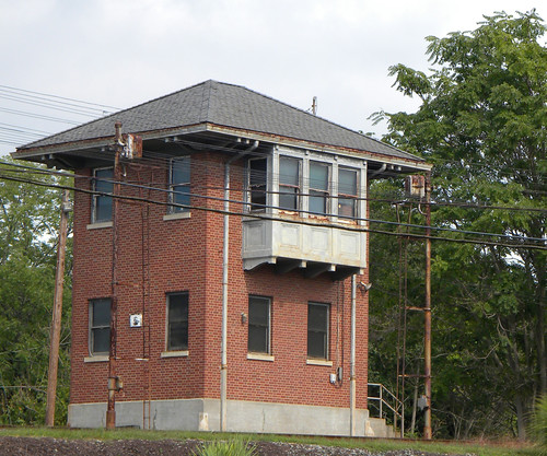
buckinghambranch chesapeakeandohio railroadscenes transportation virginia
Virginia: Gordonsville: C&O Cabin
virginia march orangecounty 2012 exchangehotel gordonsville nrhp canon24105l commercialbuildings march2012
Exchange Hotel, Civil War Hospital
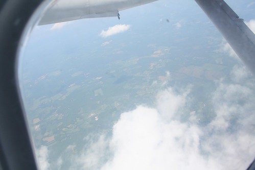
aerialphotograph
View out the airplane window
new 3 jake stats around something messing learned
jake showed me how to do this!
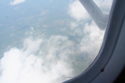
aerialphotograph
View out the airplane window
easter
God, I made a huge mistake. Please protect me from making that mistake again. Amen
virginia farmlife amtrakviews
Virginia: South of Orange
amtrakviews farmlife virginia
Summer in Virginia
square squareformat iphoneography instagramapp uploaded:by=instagram
Beautiful view #skylinedrive #pano #mountains #vsco #virginia #madewithfaded
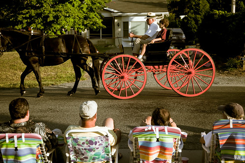
red vacation people horse holiday canon virginia chair carriage unitedstates wheels lawn parade celebration fourthofjuly americana 5d persons markii lakelouisa
Viewing Americana
pink bedroom focus angle ae1 side strap cannon
side view cannon ae-1.
Lake Anna
square squareformat rise iphoneography instagramapp uploaded:by=instagram foursquare:venue=4e29739318a83a13623c9768
#piedmont brush #fire in the #rain. #landscape
flying airplane cessna clouds high wing atmosphere landscape virginia altitude iphone
Above the Clouds
orange virginia unitedstates
IMG_0085.jpg
mike fun virginia corn dad ben live country ruin picture free it eat where worms louisa picking itchy allergies spotsylvania 8142009
the country way of life.
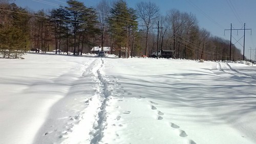
winter snow david louisava louisavirginia {vision}:{car}=0559 {flickrandroidapp}:{filter}=none {vision}:{outdoor}=0982
YAAAAA! They just scraped our road!
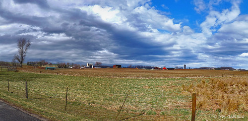
orangecounty virginia farm farmfields rural landscape
Farm Field Next to Chicken Mountain Road
Green, Red, White, and Blue
square squareformat iphoneography instagramapp uploaded:by=instagram
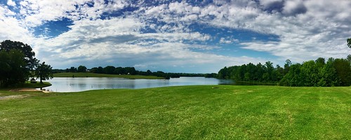
Lake Anna State Park #vsco #vscocam #virginia #lakeanna #statepark #afterlight #beautiful #louisa
sign neon drugstore louisa rexall
BAILEY'S DRUG STORE
family friends food pool memorial jake cloudy good katie abby leg over smiles tyler cast logan krystle jenkins robison stanky pruny memorialday2009 doustou weuthrich
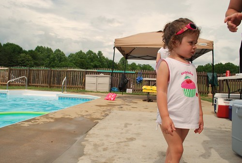
abby.
sunset lake inspiring
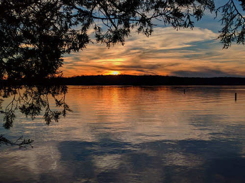
lake-anna
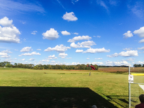
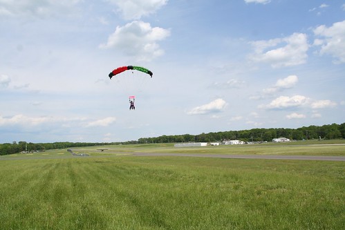
sports skydiving
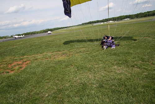
Reynolds and Lauri
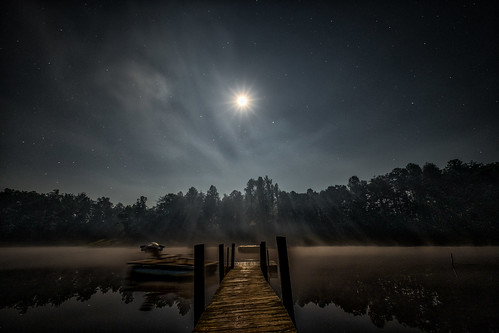
night divingplatform louisa moonlight landscape stars smallcountrycampground trees moon lake virginia fog dock unitedstates us
moonlit waters
sports skydiving aerialphotograph
Hoops and Linda
sunset sky mountains clouds virginia roadtrip blueridgemountains project365 virginiaroadtrip2009
034/365 :: Virginia Sky
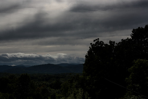
cloud storm mountains clouds virginia stormy roadtrip storms blueridgemountains virginiaroadtrip2009
Storms and Mountains