Elevation of Patrick Henry, VA, USA
Location: United States > Virginia > Louisa County >
Longitude: -78.088012
Latitude: 37.9834473
Elevation: 130m / 427feet
Barometric Pressure: 100KPa
Elevation Map:
Satellite Map:
Related Photos:

Rusty Barn

Louisa County (Virginia) Courthouse

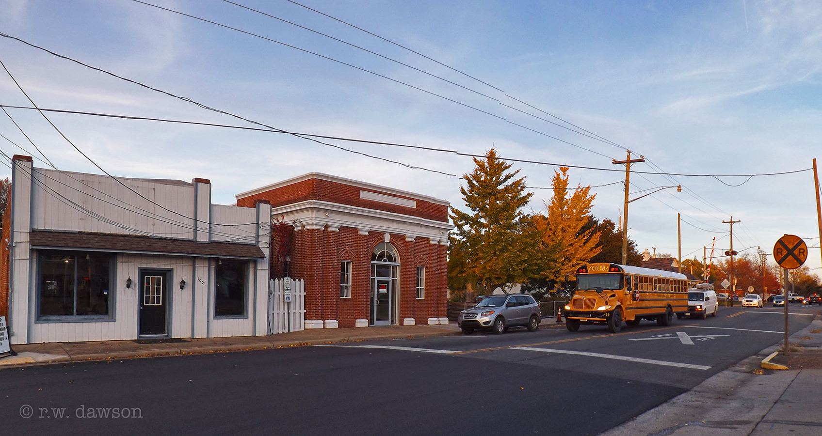
View of Downtown
View of East 1st. Street

"One of the four worst jails in the Commonwealth" - 1967 report

Louisa Courthouse

Side View of Louisa (VA) Courthouse

Louisa Depot

heat exchanger 2

God, I made a huge mistake. Please protect me from making that mistake again. Amen
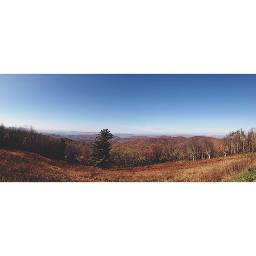
Beautiful view #skylinedrive #pano #mountains #vsco #virginia #madewithfaded

Viewing Americana

The truck is gone, but the dust remains.

Twin Oaks Panorama

Louisa County, Virginia

Leaving there too soon

Starburst!

YAAAAA! They just scraped our road!

Creepy Trailer of the Fog

Sunset Silhouette

BAILEY'S DRUG STORE
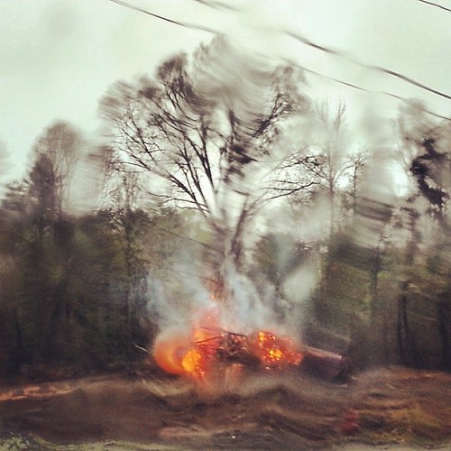
#piedmont brush #fire in the #rain. #landscape

moonlit waters

Beulah Baptist Church and Cemetary 29

Shredded Wheat for cows

Wheat Field

Sleepy Hollow

Louisa County, Virginia

Louisa County, Virginia

Louisa County, Virginia

Louisa County, Virginia

Louisa County, Virginia

Louisa County, Virginia
Topographic Map of Patrick Henry, VA, USA
Find elevation by address:

Places in Patrick Henry, VA, USA:
Places near Patrick Henry, VA, USA:
5 Byrd Point Ln
Louisa, VA, USA
E Green Springs Rd, Louisa, VA, USA
15862 Louisa Rd
14893 Louisa Rd
Green Spring
Doctors Road
Vawter Corner Rd, Louisa, VA, USA
25 Marymont Cir
437 Willow Ridge Rd
901 Willow Ridge Rd
Gordonsville
Lindsay Rd, Gordonsville, VA, USA
Gordonsville Rd, Gordonsville, VA, USA
5331 Louisa Rd
Mechunk Rd, Keswick, VA, USA
4802 Mechunk Rd
5600 Turkey Sag Rd
Keswick
Keswick Rd, Keswick, VA, USA
Recent Searches:
- Elevation of Corso Fratelli Cairoli, 35, Macerata MC, Italy
- Elevation of Tallevast Rd, Sarasota, FL, USA
- Elevation of 4th St E, Sonoma, CA, USA
- Elevation of Black Hollow Rd, Pennsdale, PA, USA
- Elevation of Oakland Ave, Williamsport, PA, USA
- Elevation of Pedrógão Grande, Portugal
- Elevation of Klee Dr, Martinsburg, WV, USA
- Elevation of Via Roma, Pieranica CR, Italy
- Elevation of Tavkvetili Mountain, Georgia
- Elevation of Hartfords Bluff Cir, Mt Pleasant, SC, USA