Elevation of Cooper Mountain, Colorado, USA
Location: United States > Colorado > Creede >
Longitude: -106.88527
Latitude: 37.6997222
Elevation: 3488m / 11444feet
Barometric Pressure: 66KPa
Elevation Map:
Satellite Map:
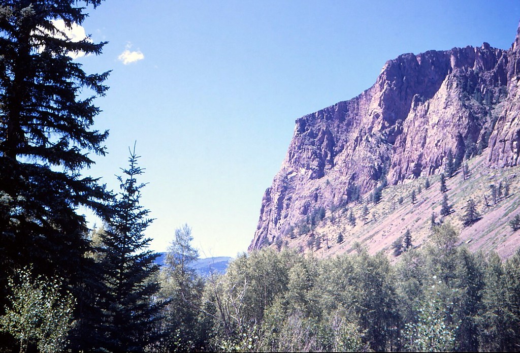
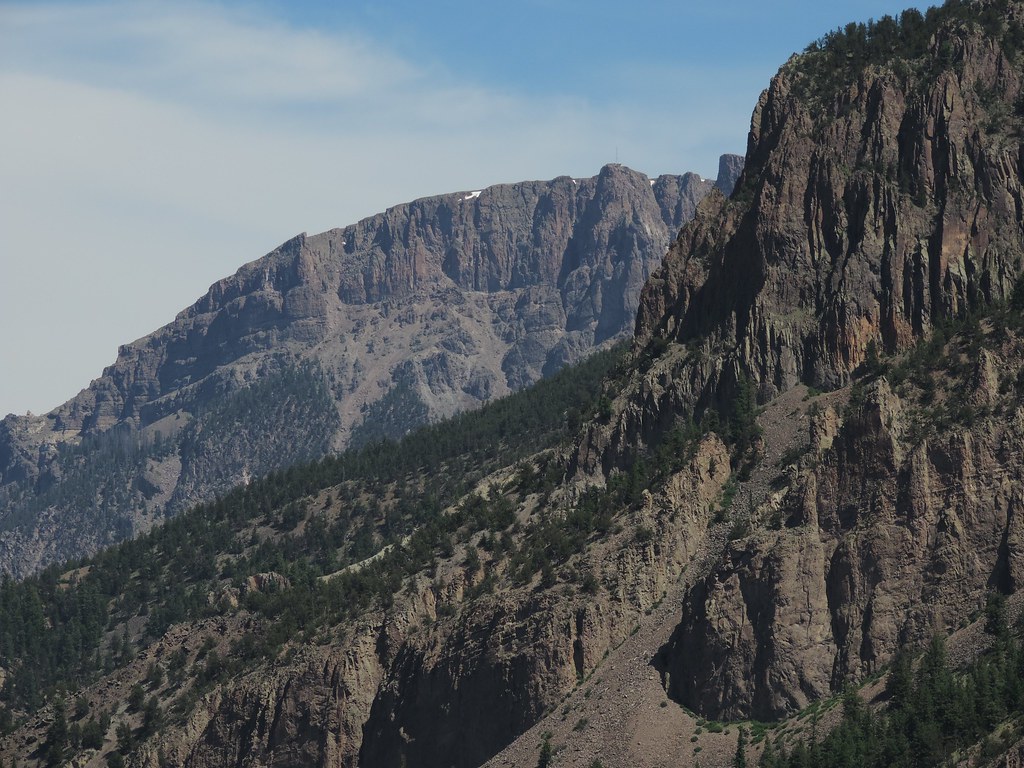
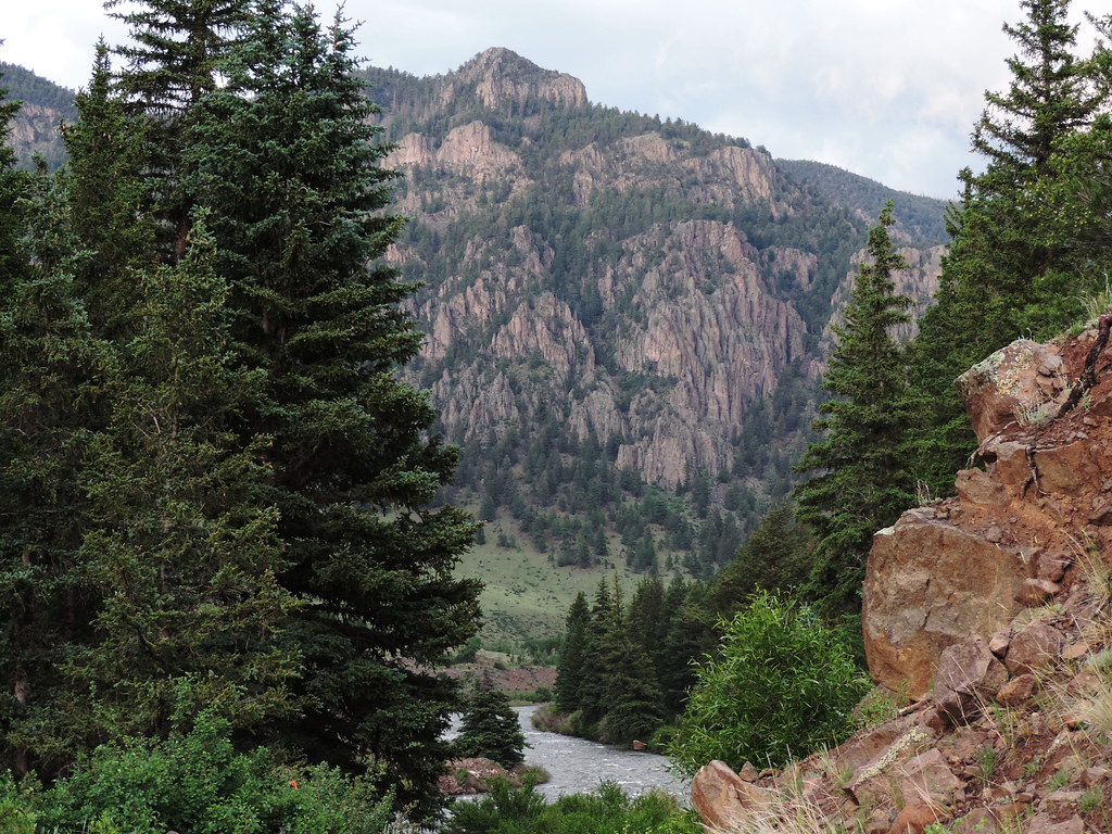
Related Photos:
Mystic mountain
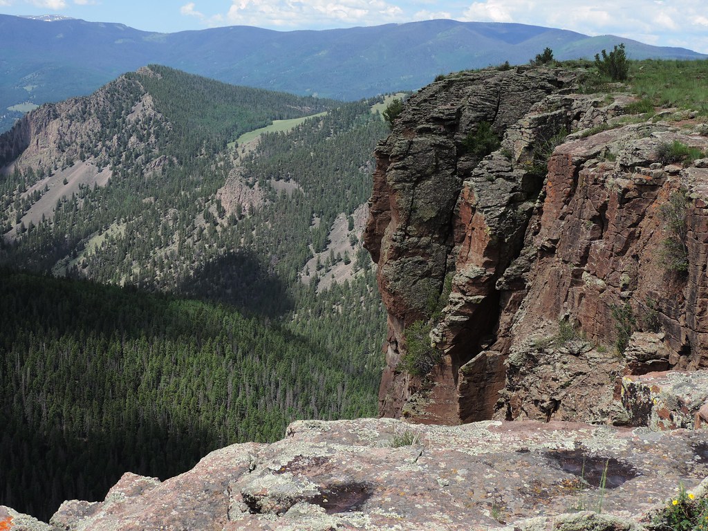
Cliff above Blue Creek
Rio Grande and Creede Caldera
Ute peak alpine glow
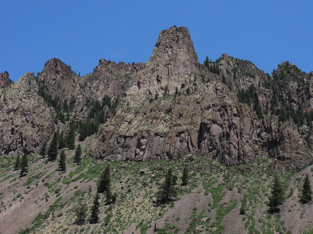
Cliff tower blue sky
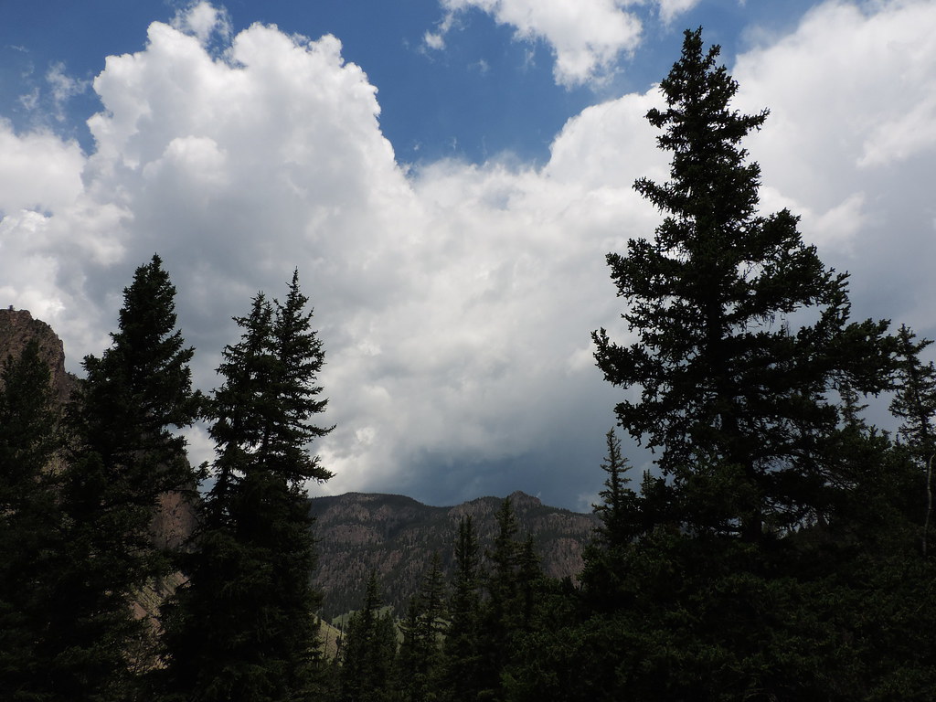
Storm clouds gathering
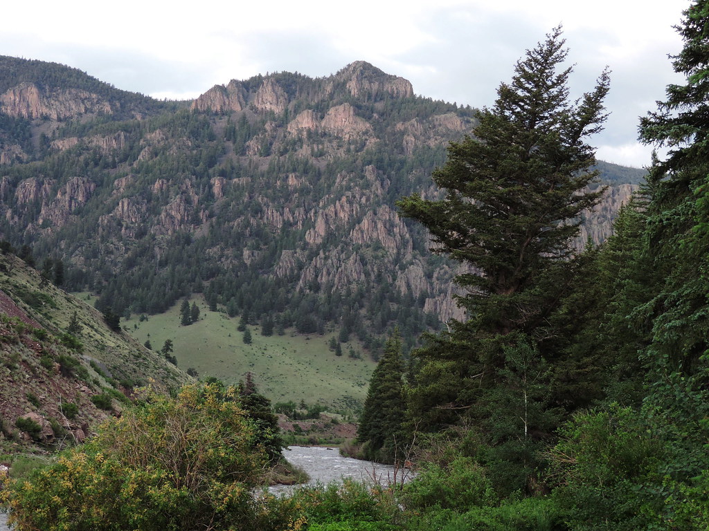
Rio Grande and palisades
Wagon Wheel Gap
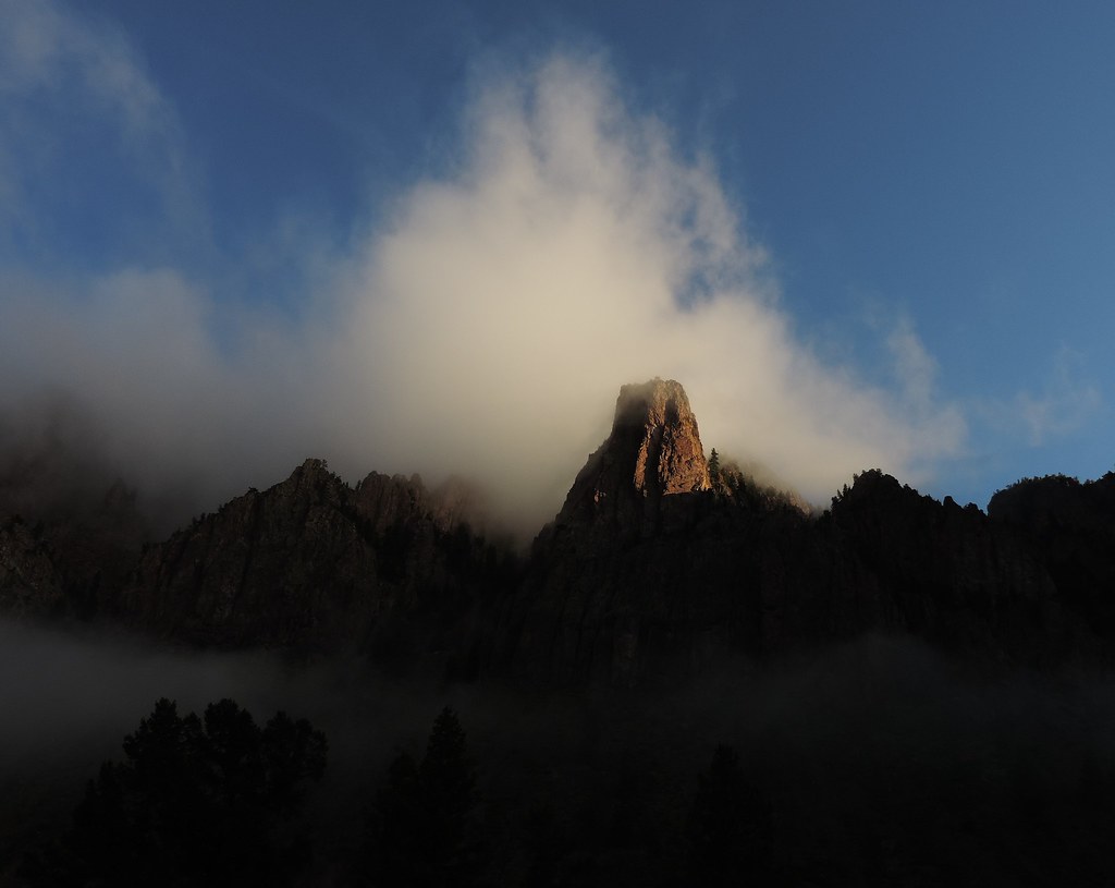
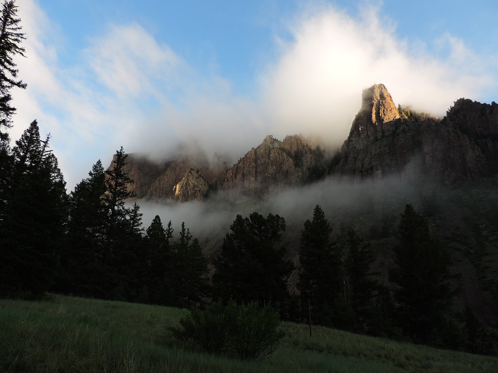
Sunrise spire

Caldera lake layers
Cabin high view
Big River Ranch clouds
Stormy cliff
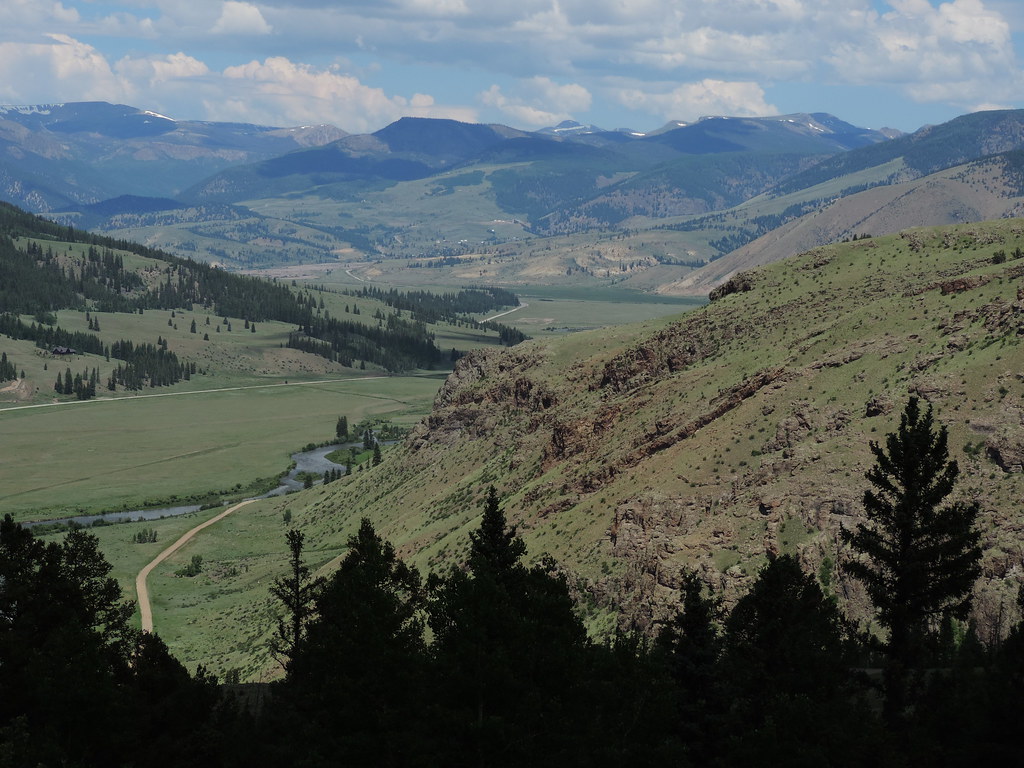
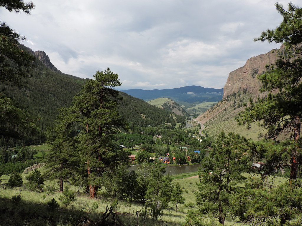
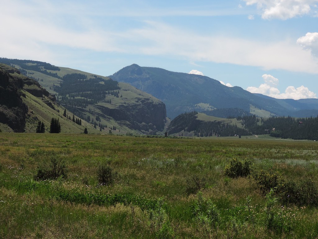
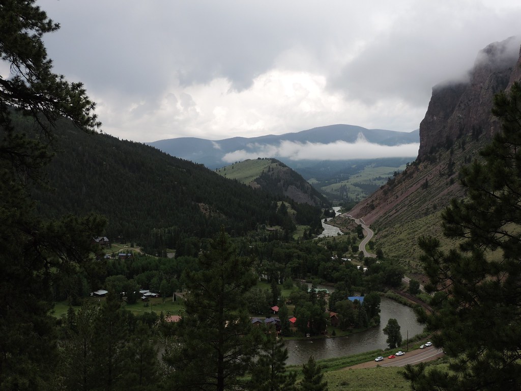
Valley view
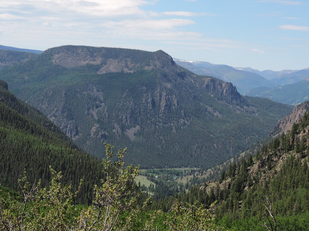
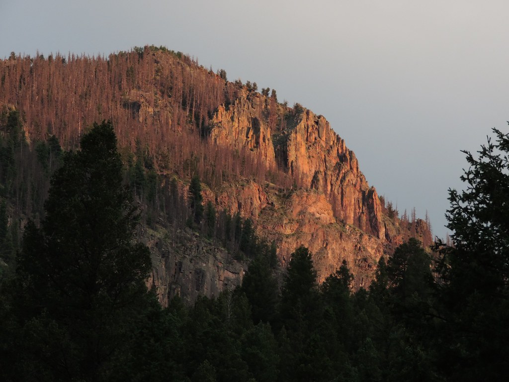
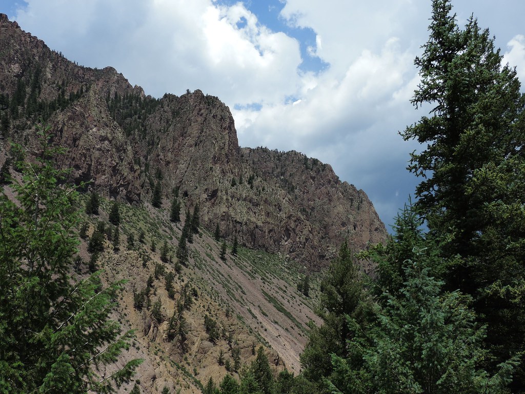
McClelland Mountain
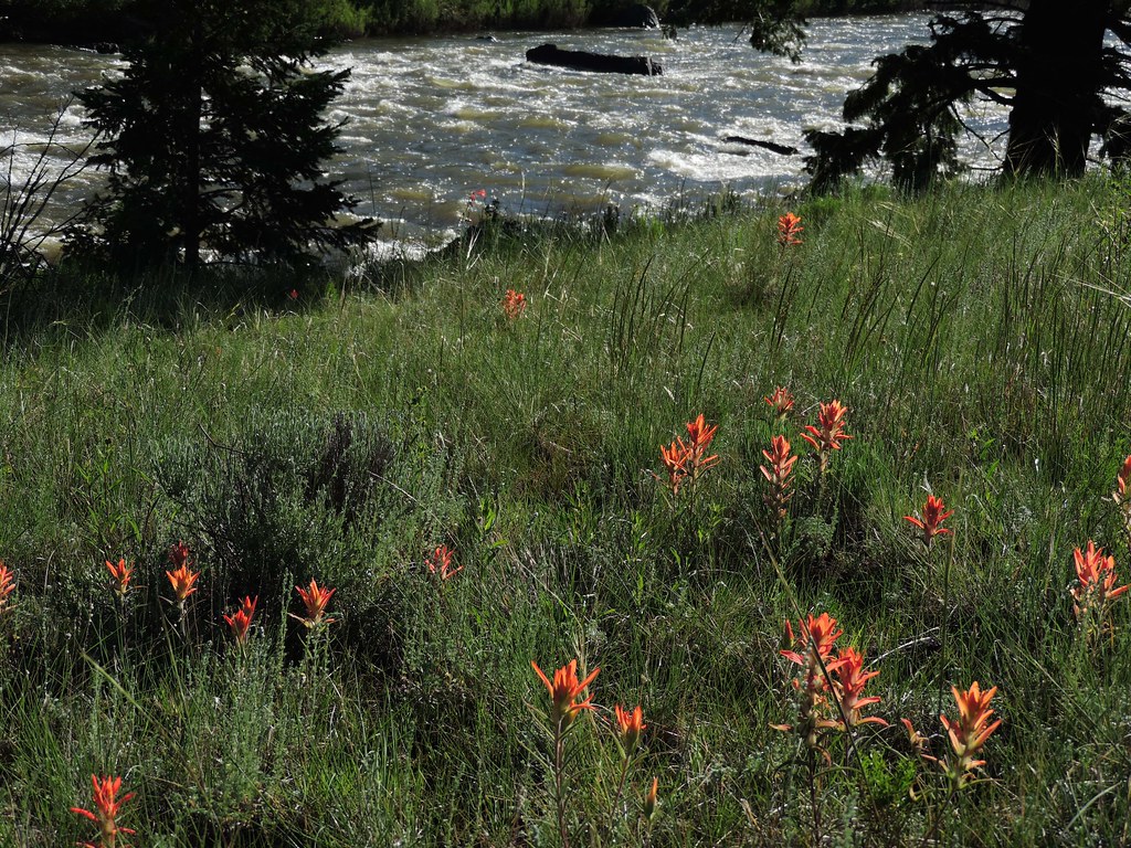
River meadow
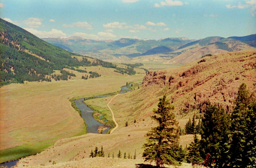
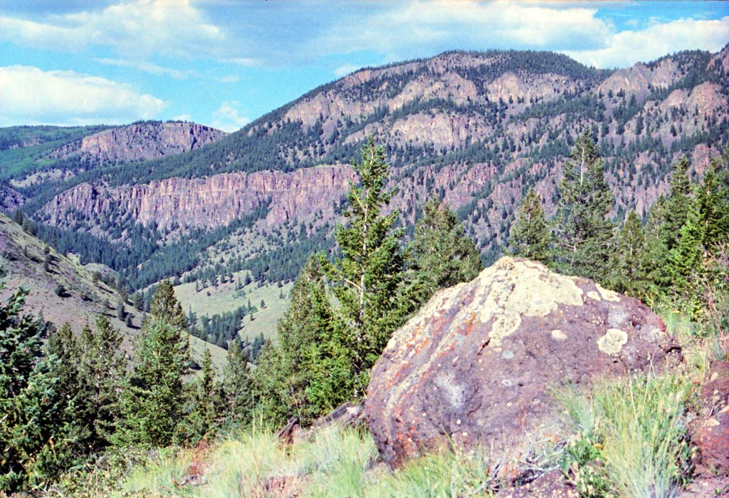
Volcanic valley
Big river bluff

Big river
Bristol head cloesup
Rocky river view
Topographic Map of Cooper Mountain, Colorado, USA
Find elevation by address:

Places near Cooper Mountain, Colorado, USA:
Snowshoe Mountain
Fisher Mountain
Beautiful Mountain
406 Commodore Dr
Mineral County
Creede
Usfs Road 509
308 Bee Mcclure Dr
Campbell Mountain
Baldy Mountain
Forest Road 503
Sugarloaf Mountain
Cherry Cairn
Eagle Mountain
Toner Mountain
Box Canyon, Rio Grande River, Colorado
Papoose Creek
Pagosa Peak
Shotgun Mountain
Chief Mountain
Recent Searches:
- Elevation of Corso Fratelli Cairoli, 35, Macerata MC, Italy
- Elevation of Tallevast Rd, Sarasota, FL, USA
- Elevation of 4th St E, Sonoma, CA, USA
- Elevation of Black Hollow Rd, Pennsdale, PA, USA
- Elevation of Oakland Ave, Williamsport, PA, USA
- Elevation of Pedrógão Grande, Portugal
- Elevation of Klee Dr, Martinsburg, WV, USA
- Elevation of Via Roma, Pieranica CR, Italy
- Elevation of Tavkvetili Mountain, Georgia
- Elevation of Hartfords Bluff Cir, Mt Pleasant, SC, USA