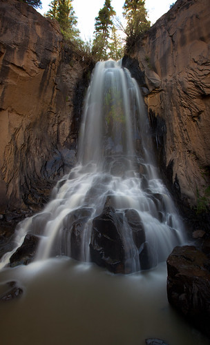
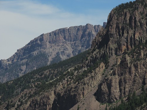
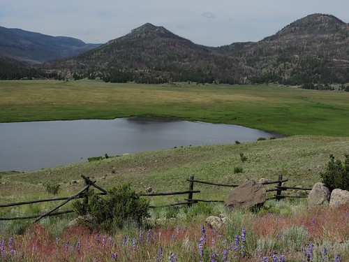
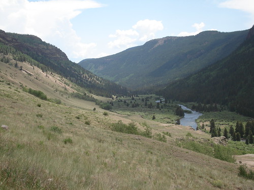
Elevation of Baldy Mountain, Colorado, USA
Location: United States > Colorado > Mineral County >
Longitude: -107.11171
Latitude: 37.6886126
Elevation: 3801m / 12470feet
Barometric Pressure: 63KPa
Related Photos:
Topographic Map of Baldy Mountain, Colorado, USA
Find elevation by address:

Places near Baldy Mountain, Colorado, USA:
Box Canyon, Rio Grande River, Colorado
Papoose Creek
Usfs Road 509
Mineral County
Chief Mountain
Shotgun Mountain
Cimarrona Peak
Forest Road 515
Sugarloaf Mountain
Fisher Mountain
Toner Mountain
Beautiful Mountain
Poison Park
Snowshoe Mountain
Cooper Mountain
Finger Mesa
406 Commodore Dr
Cherry Cairn
Granite Lake
Simpson Mountain
Recent Searches:
- Elevation of Corso Fratelli Cairoli, 35, Macerata MC, Italy
- Elevation of Tallevast Rd, Sarasota, FL, USA
- Elevation of 4th St E, Sonoma, CA, USA
- Elevation of Black Hollow Rd, Pennsdale, PA, USA
- Elevation of Oakland Ave, Williamsport, PA, USA
- Elevation of Pedrógão Grande, Portugal
- Elevation of Klee Dr, Martinsburg, WV, USA
- Elevation of Via Roma, Pieranica CR, Italy
- Elevation of Tavkvetili Mountain, Georgia
- Elevation of Hartfords Bluff Cir, Mt Pleasant, SC, USA


