Elevation of Co Rd, Crane Hill, AL, USA
| Latitude | 33.994638 |
|---|---|
| Longitude | -87.100861 |
| Elevation | 200m / 656feet |
| Barometric Pressure | 989KPa |
Related Photos:
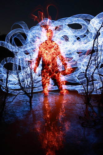
83.72.67 (SHC)
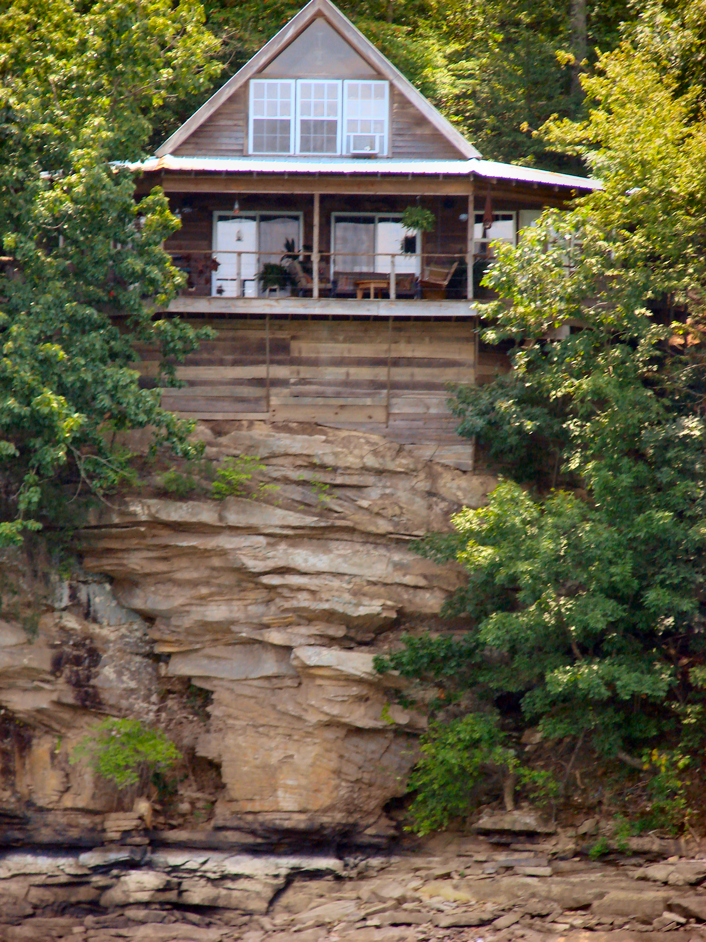
Rock House
#capturecullman
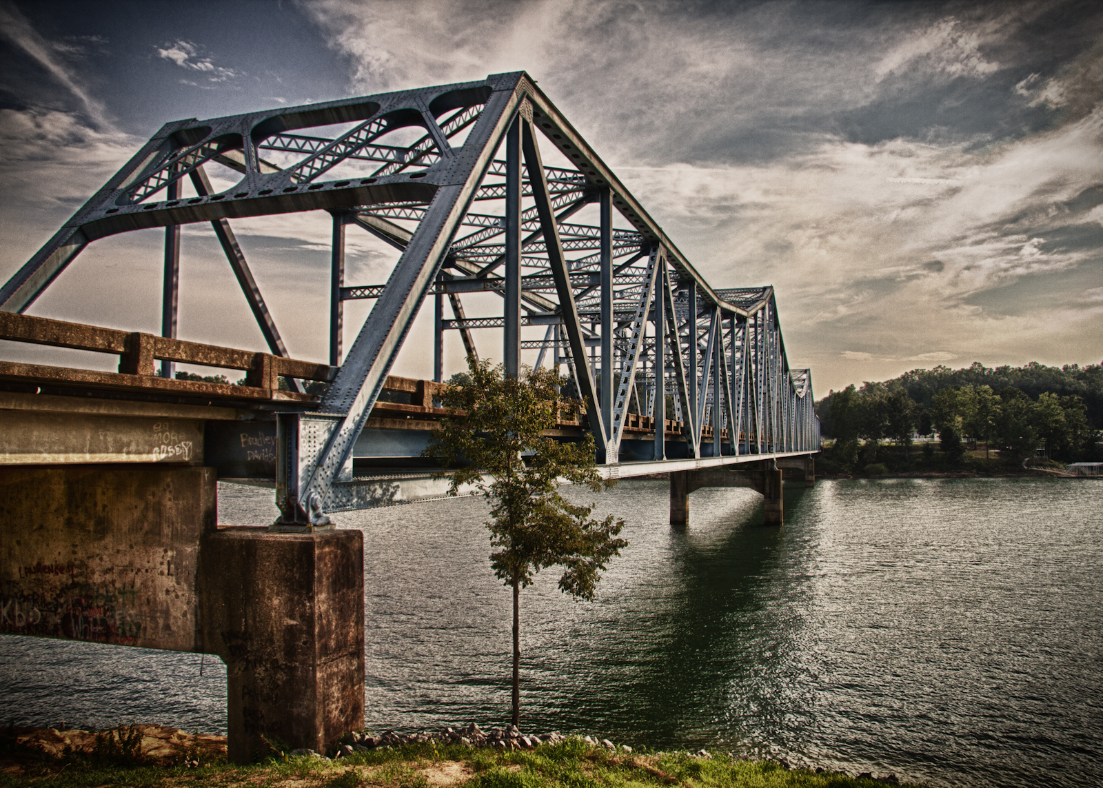
Day 46 - The Bridge

3 leaf clover
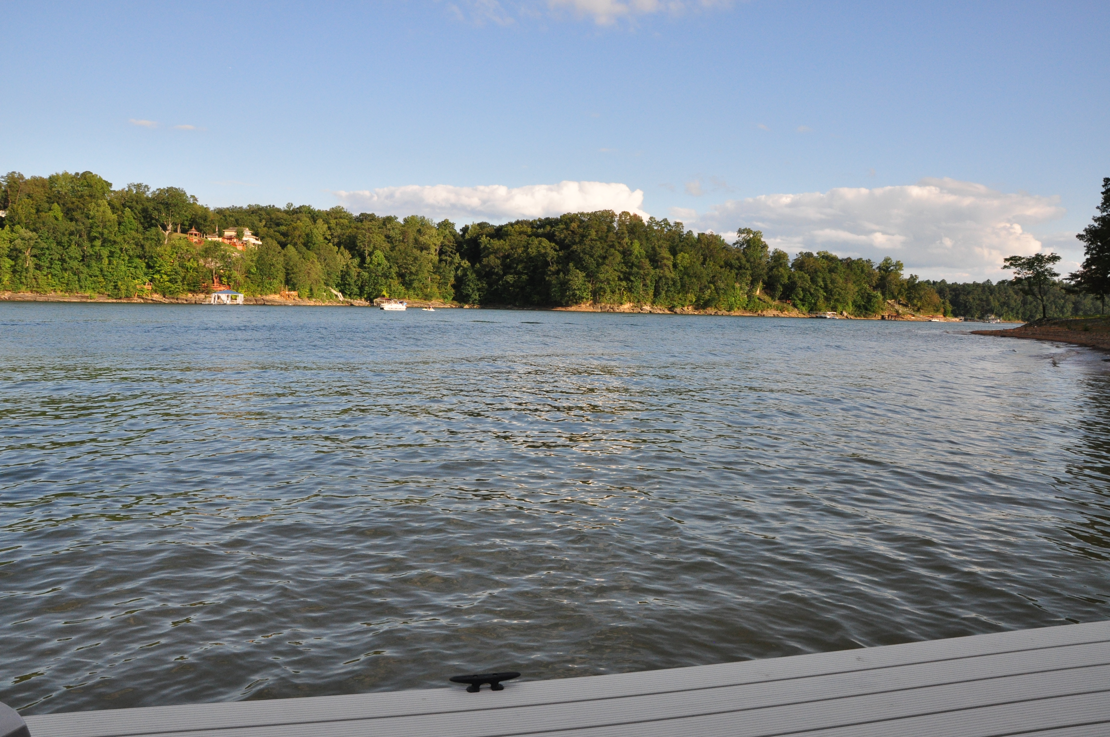
November 2006 at the lake
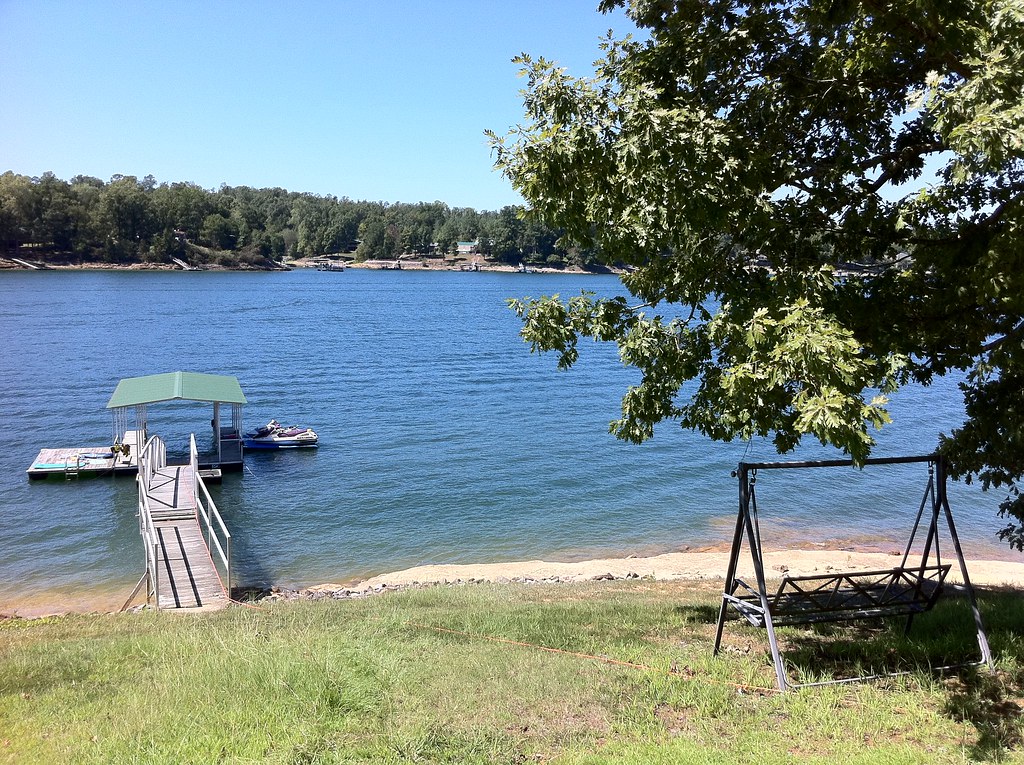
Stillwater Cove
Echo Point

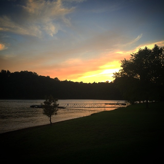
Smith Lake Sunrise 08302014
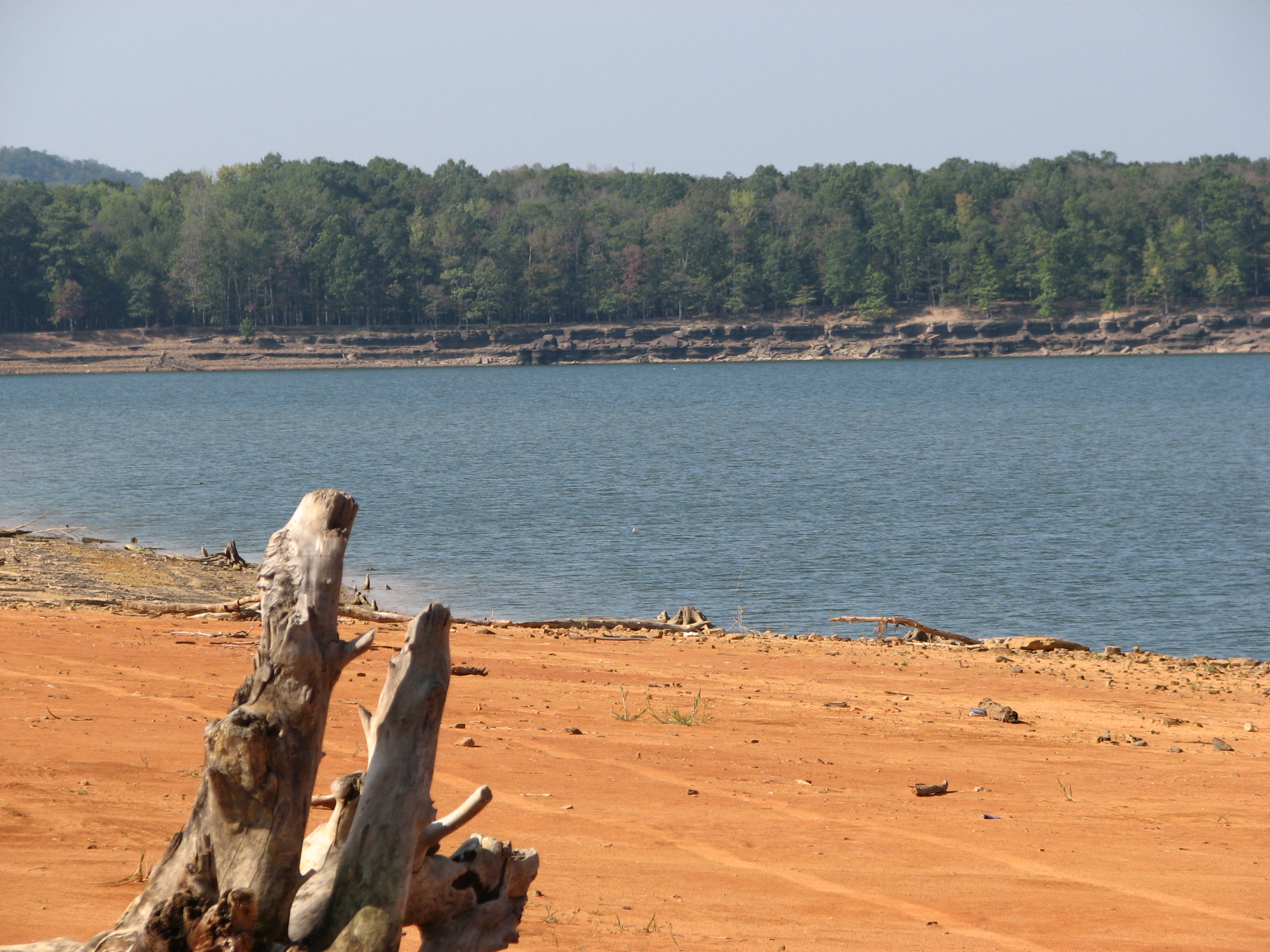
Smith Lake Park during drought conditions

Echo Point
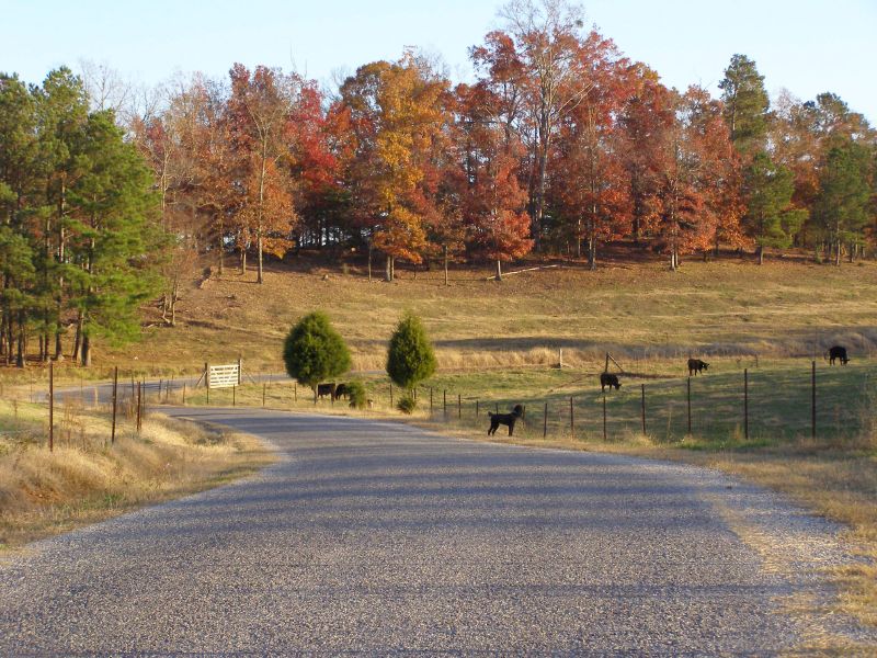
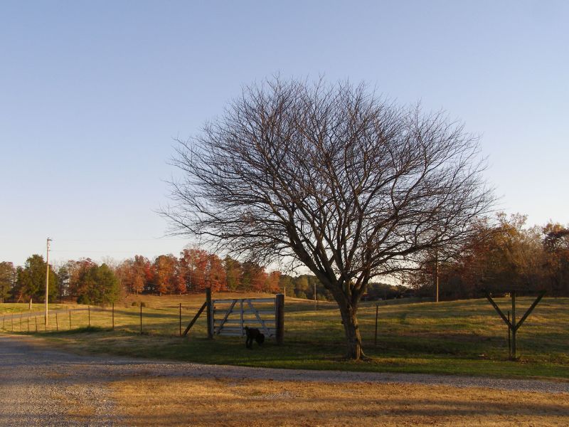
Paved county road and Raven the poodle
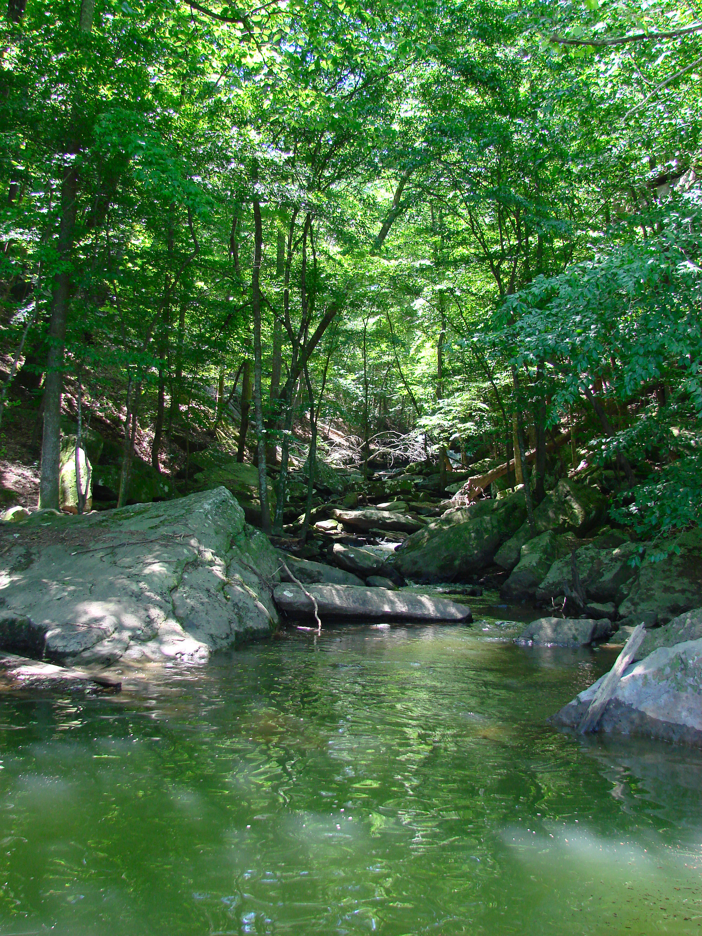
Ryan Creek
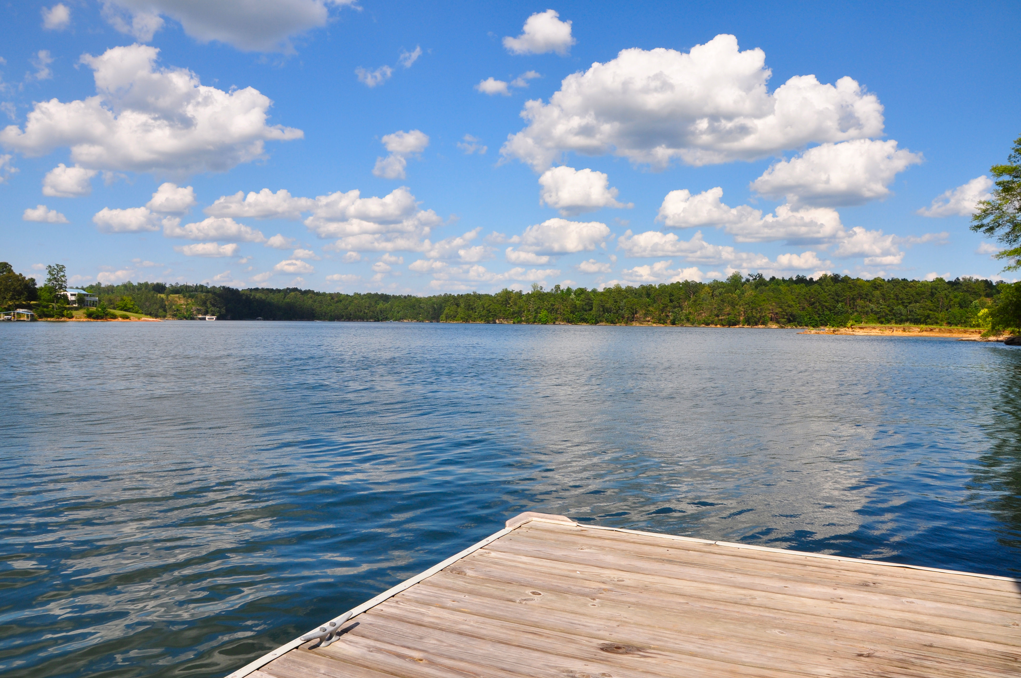
Labor Day on Smith Lake
Topographic Map of Co Rd, Crane Hill, AL, USA
Find elevation by address:
Places near Co Rd, Crane Hill, AL, USA:
Co Rd 12, Arley, AL, USA
Bear Branch Cove Road
446 Co Rd 242
Co Rd, Bremen, AL, USA
Co Rd, Crane Hill, AL, USA
177 Krista Dr
32 Lone Oak Rd, Jasper, AL, USA
County Rd, Bremen, AL, USA
4201 Co Rd 18
Crane Hill
County Rd, Logan, AL, USA
1750 Co Rd 30
85 Co Rd 364
Bremen
Co Rd 40, Arley, AL, USA
671 Debardeleben Rd
4424 County Rd 8
1014 Co Rd 348
Arkadelphia Rd, Jasper, AL, USA
County Road 8
Recent Searches:
- Elevation of Burnt Store Village, Charlotte County, Florida, 33955, USA
- Elevation of 26552, Angelica Road, Punta Gorda, Charlotte County, Florida, 33955, USA
- Elevation of 104, Chancery Road, Middletown Township, Bucks County, Pennsylvania, 19047, USA
- Elevation of 1212, Cypress Lane, Dayton, Liberty County, Texas, 77535, USA
- Elevation map of Central Hungary, Hungary
- Elevation map of Pest, Central Hungary, Hungary
- Elevation of Pilisszentkereszt, Pest, Central Hungary, Hungary
- Elevation of Dharamkot Tahsil, Punjab, India
- Elevation of Bhinder Khurd, Dharamkot Tahsil, Punjab, India
- Elevation of 2881, Chabot Drive, San Bruno, San Mateo County, California, 94066, USA
- Elevation of 10370, West 107th Circle, Westminster, Jefferson County, Colorado, 80021, USA
- Elevation of 611, Roman Road, Old Ford, Bow, London, England, E3 2RW, United Kingdom
- Elevation of 116, Beartown Road, Underhill, Chittenden County, Vermont, 05489, USA
- Elevation of Window Rock, Colfax County, New Mexico, 87714, USA
- Elevation of 4807, Rosecroft Street, Kempsville Gardens, Virginia Beach, Virginia, 23464, USA
- Elevation map of Matawinie, Quebec, Canada
- Elevation of Sainte-Émélie-de-l'Énergie, Matawinie, Quebec, Canada
- Elevation of Rue du Pont, Sainte-Émélie-de-l'Énergie, Matawinie, Quebec, J0K2K0, Canada
- Elevation of 8, Rue de Bécancour, Blainville, Thérèse-De Blainville, Quebec, J7B1N2, Canada
- Elevation of Wilmot Court North, 163, University Avenue West, Northdale, Waterloo, Region of Waterloo, Ontario, N2L6B6, Canada