Elevation of Co Rd 40, Arley, AL, USA
Location: United States > Alabama > Winston County >
Longitude: -87.139615
Latitude: 34.1267336
Elevation: 252m / 827feet
Barometric Pressure: 98KPa
Elevation Map:
Satellite Map:
Related Photos:

83.72.67 (SHC)
2014 November 10 traveling Hwy 41 S Danville Rd Addison, AL
Bright Sunshiny Day

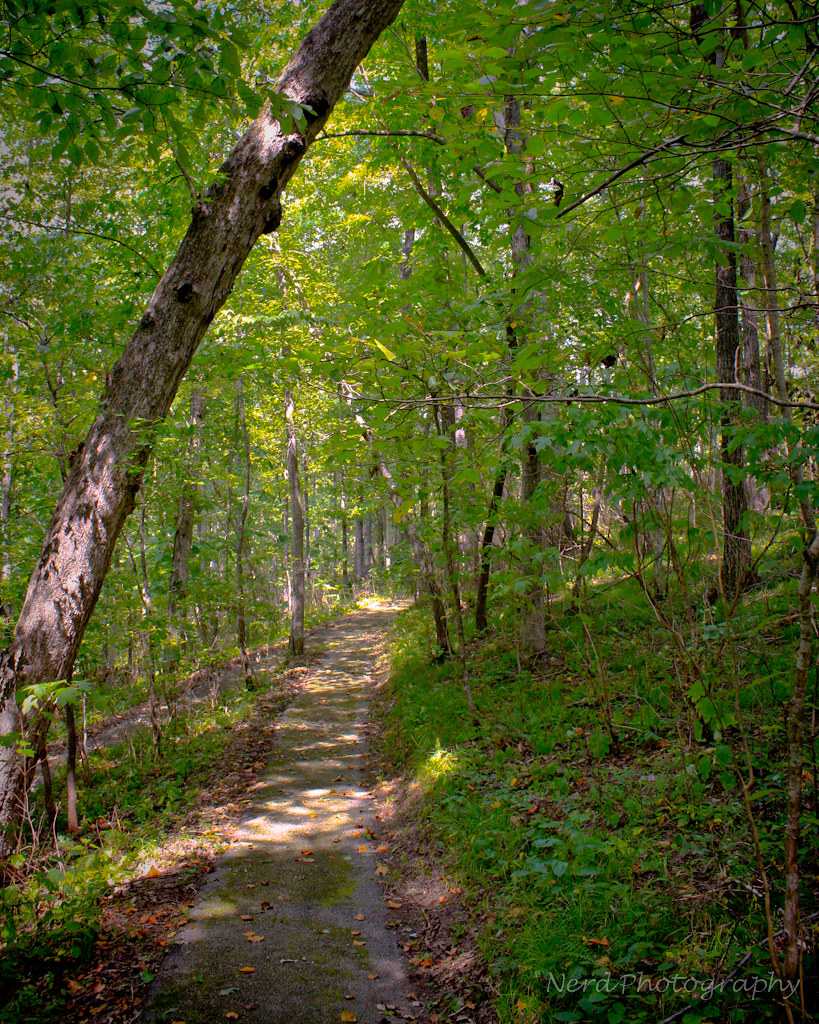
Day 46 - The Bridge

#capturecullman

3 leaf clover

Natural bridge 5.jpg
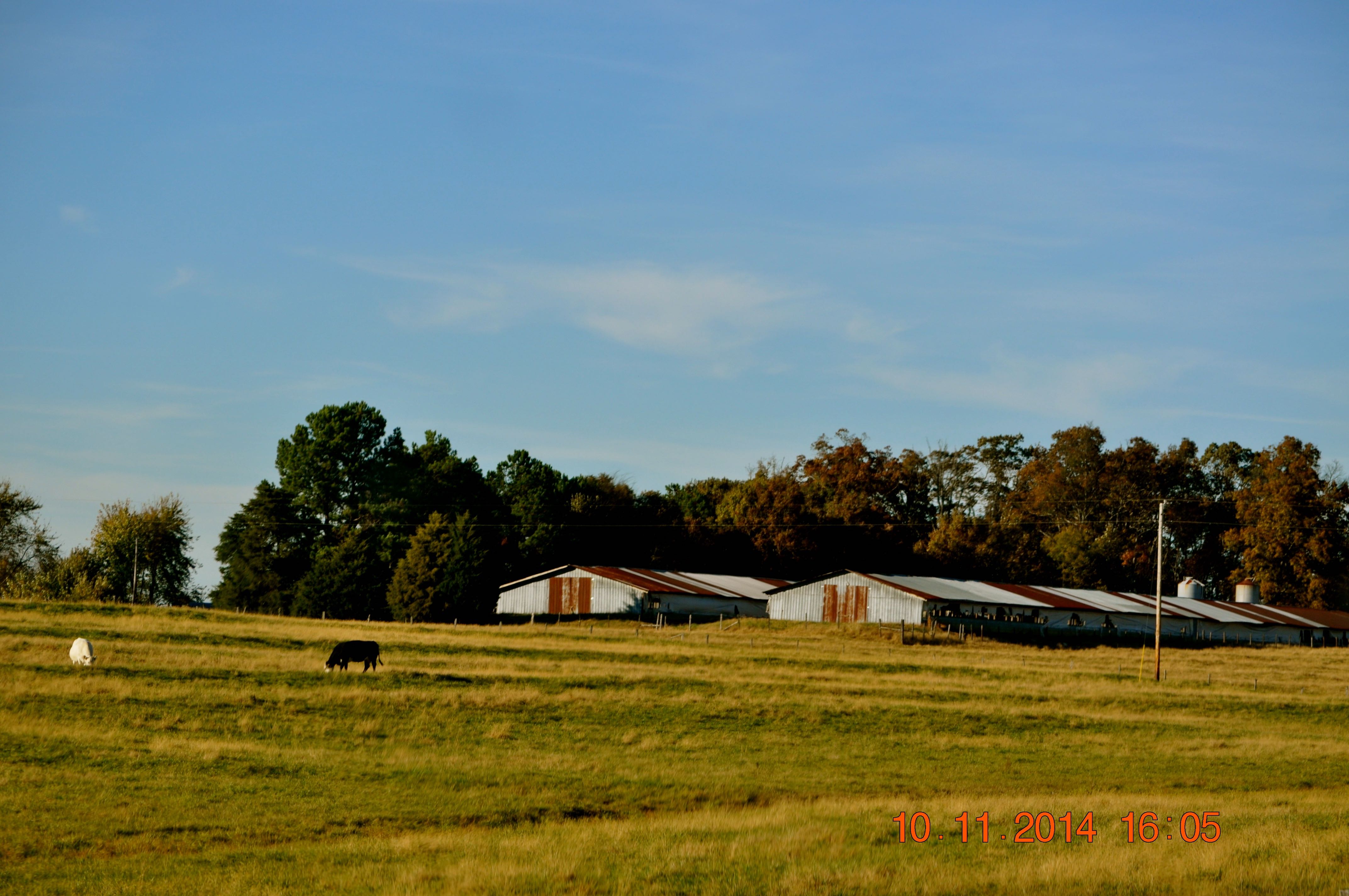
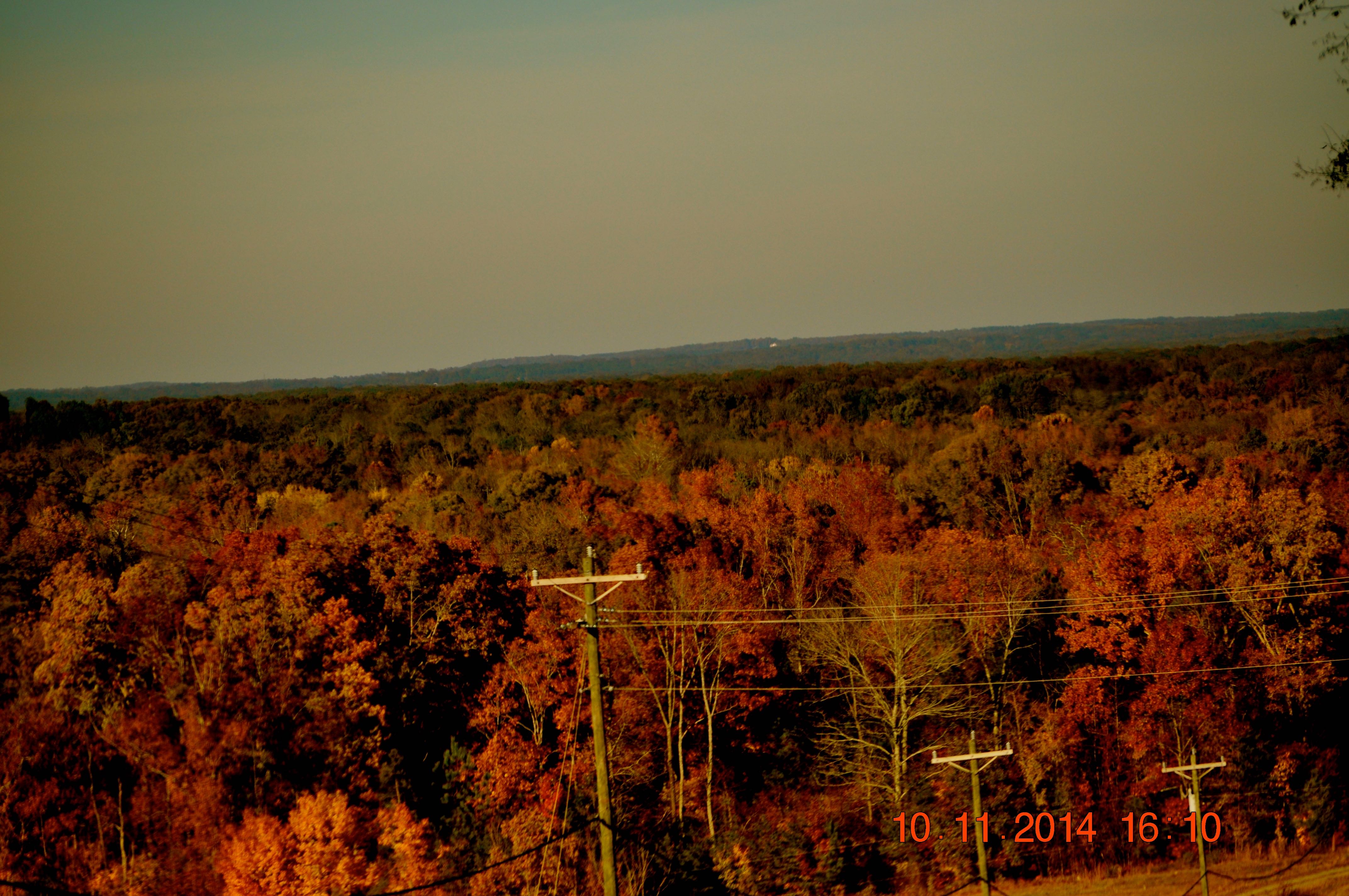
2014 November 10 traveling Hwy 41 S Danville Rd Addison, AL
November 2006 at the lake

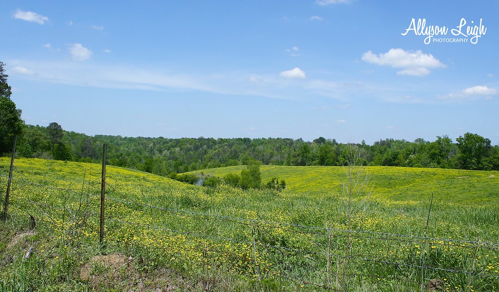
Golden Pasture
Natural bridge 6.jpg

Echo Point

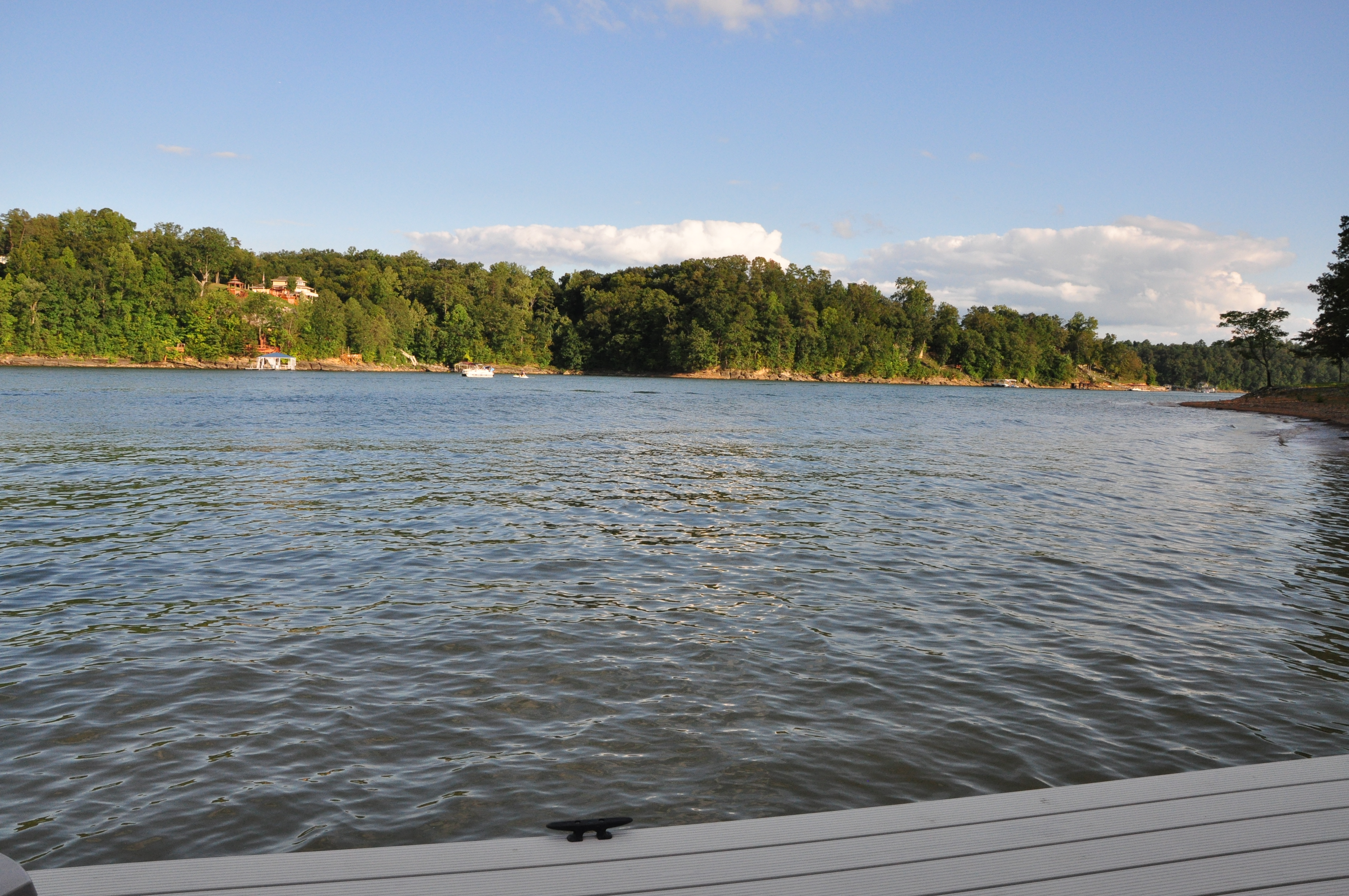
Smith Lake Sunrise 08302014
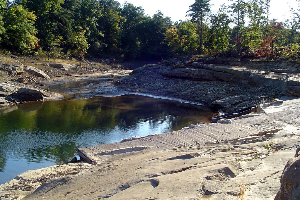
boat launch other side

Echo Point
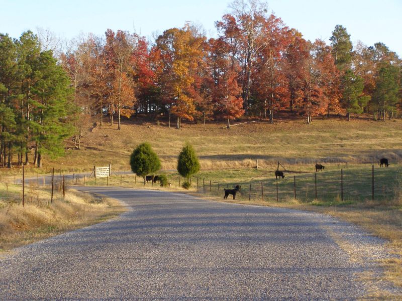
Paved county road and Raven the poodle
Ryan Creek
Labor Day on Smith Lake
Topographic Map of Co Rd 40, Arley, AL, USA
Find elevation by address:

Places near Co Rd 40, Arley, AL, USA:
County Rd, Logan, AL, USA
Co Rd, Cullman, AL, USA
Addison
US-, Addison, AL, USA
County Rd, Cullman, AL, USA
271 Co Rd 998
Co Rd 41, Addison, AL, USA
US-, Cullman, AL, USA
Logan
Co Rd, Cullman, AL, USA
1014 Co Rd 348
Co Rd, Cullman, AL, USA
12 Co Rd, Cullman, AL, USA
County Road 1216
331 Co Rd 419
1243 Co Rd 1193
7755 Al-157
3552 Co Rd 469
700 Pine Hill Dr
Good Hope
Recent Searches:
- Elevation of Corso Fratelli Cairoli, 35, Macerata MC, Italy
- Elevation of Tallevast Rd, Sarasota, FL, USA
- Elevation of 4th St E, Sonoma, CA, USA
- Elevation of Black Hollow Rd, Pennsdale, PA, USA
- Elevation of Oakland Ave, Williamsport, PA, USA
- Elevation of Pedrógão Grande, Portugal
- Elevation of Klee Dr, Martinsburg, WV, USA
- Elevation of Via Roma, Pieranica CR, Italy
- Elevation of Tavkvetili Mountain, Georgia
- Elevation of Hartfords Bluff Cir, Mt Pleasant, SC, USA