Elevation of Co Rd 12, Arley, AL, USA
Location: United States > Alabama > Winston County > Arley >
Longitude: -87.134470
Latitude: 34.0131054
Elevation: 191m / 627feet
Barometric Pressure: 99KPa
Elevation Map:
Satellite Map:
Related Photos:

A lovely view

83.72.67 (SHC)
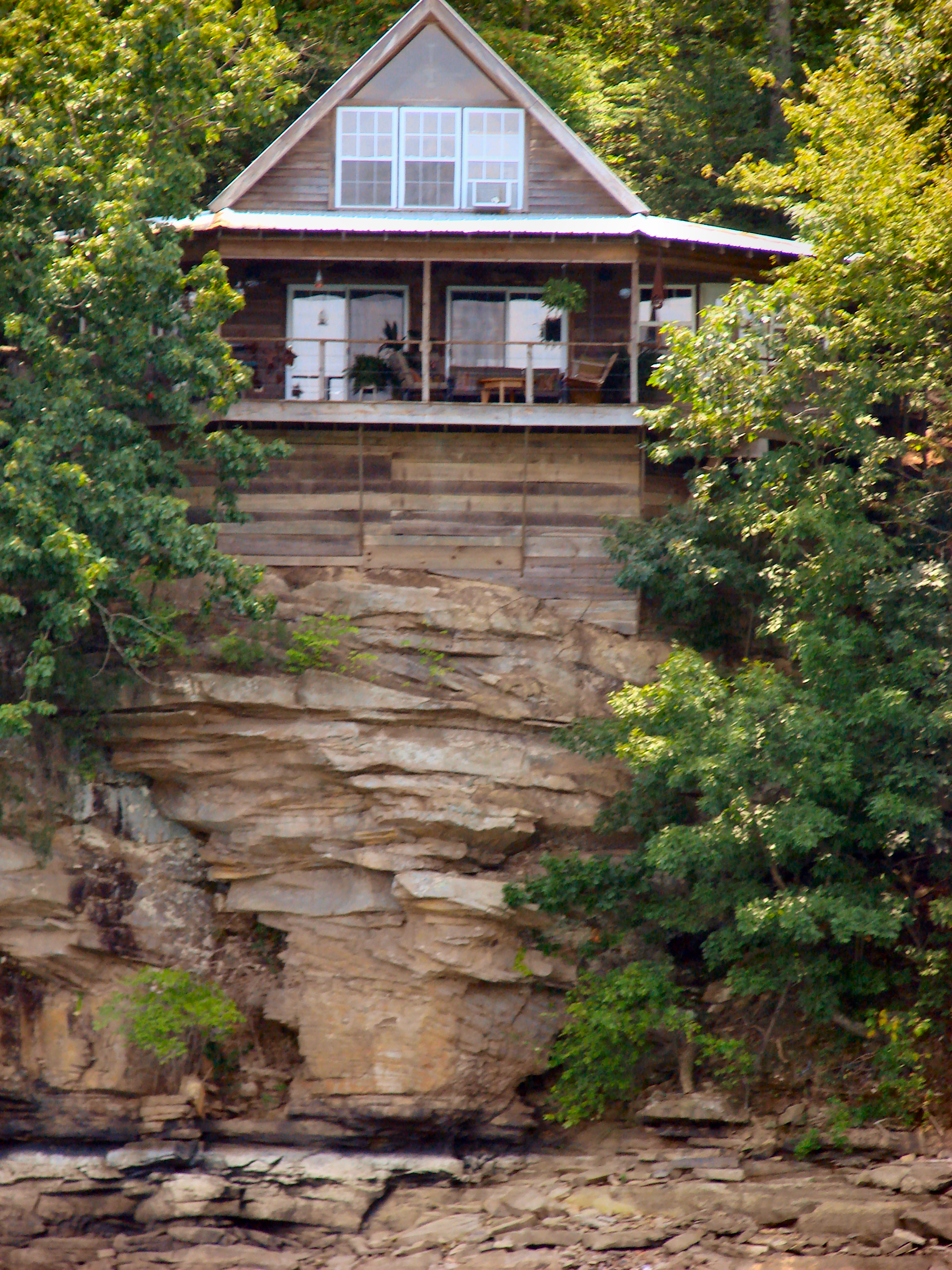
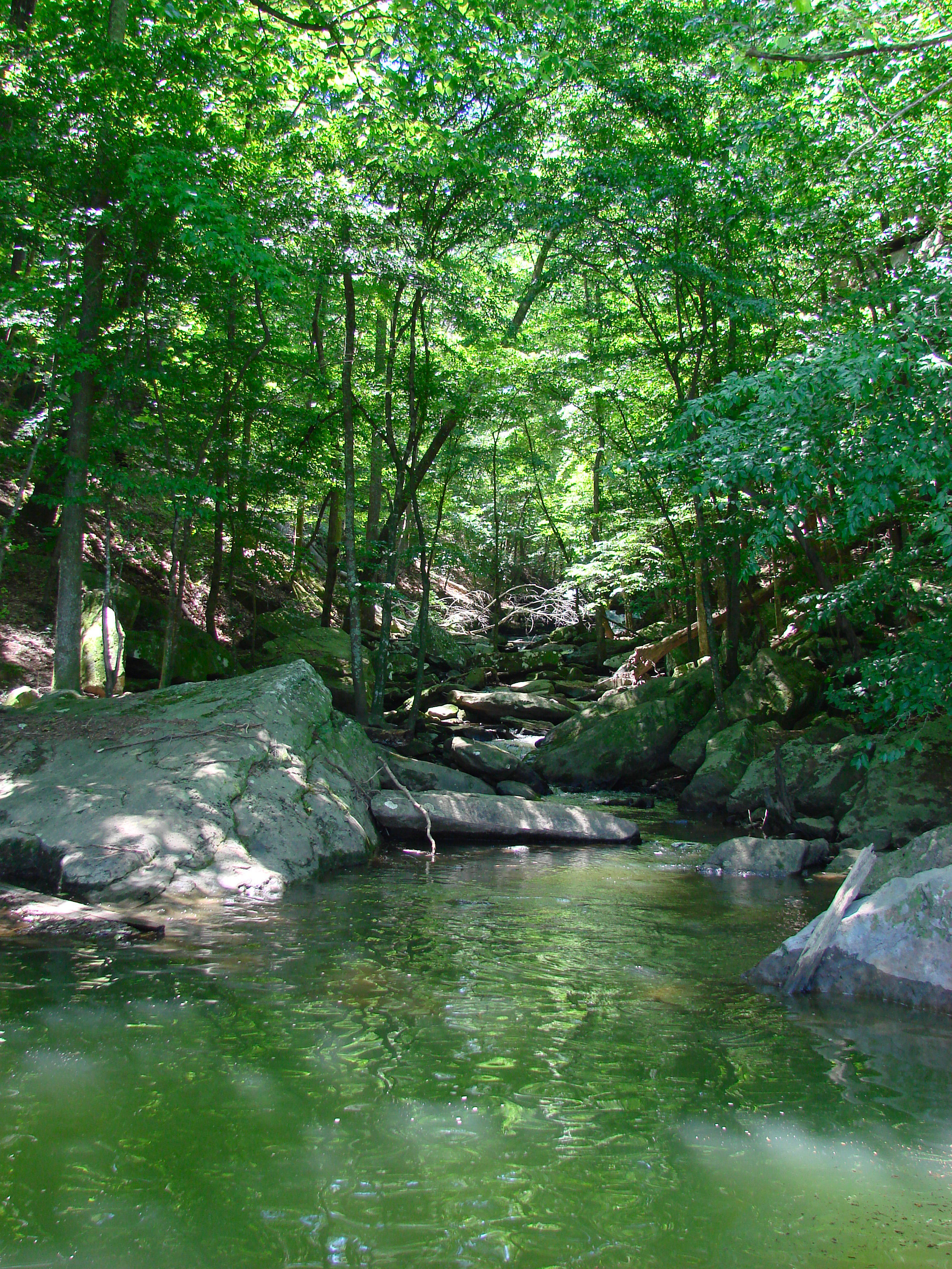
Rock House
Fall City

#capturecullman
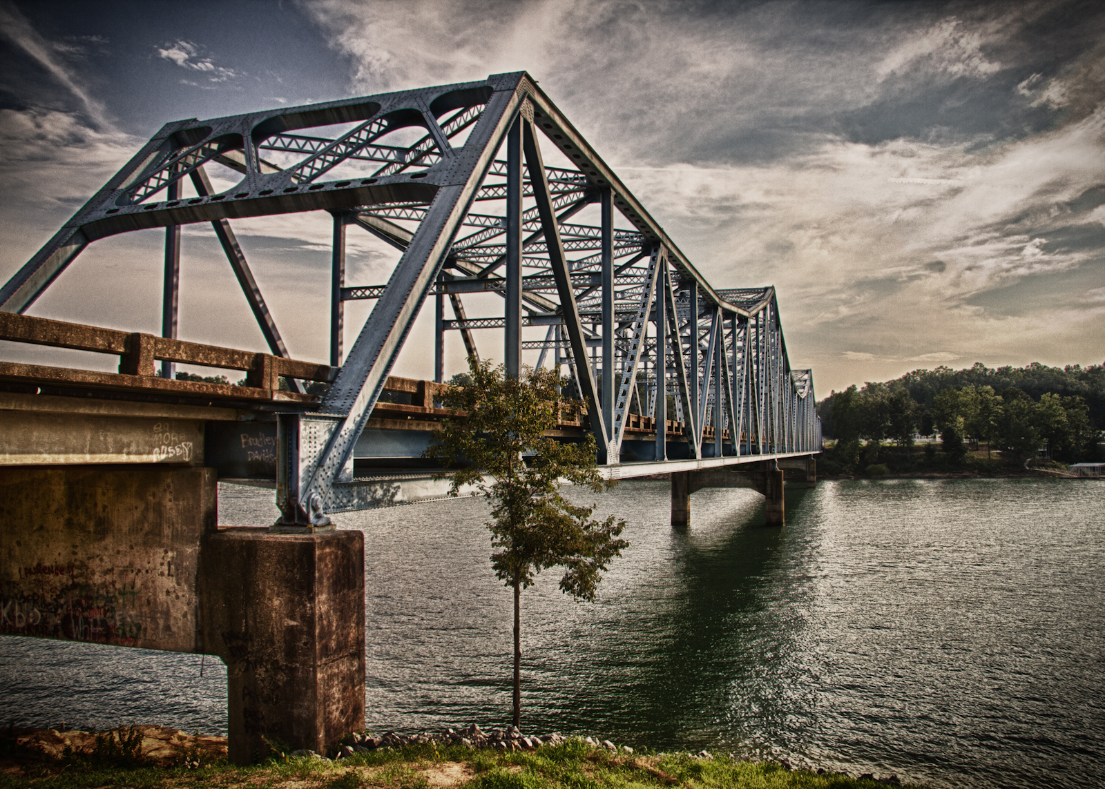
Day 46 - The Bridge

3 leaf clover
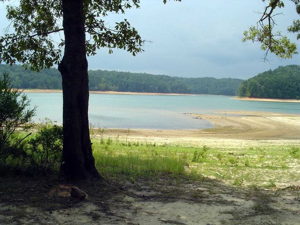
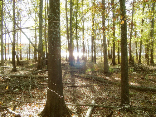
November 2006 at the lake

lit waves
Stillwater Cove

Echo Point

Smith Lake Sunrise 08302014
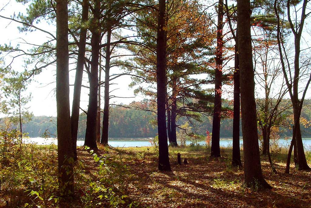
fall city sunset
fall city other side
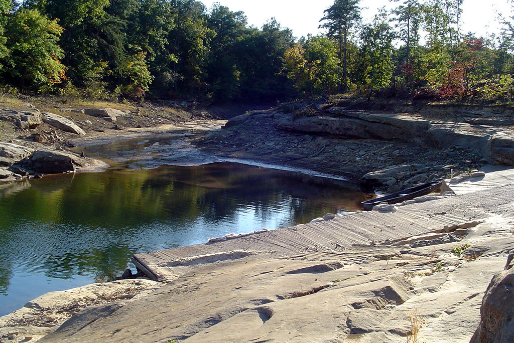
boat launch other side

Echo Point
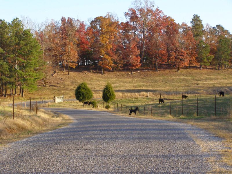
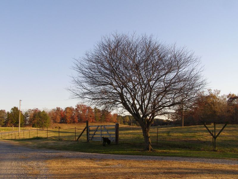
Paved county road and Raven the poodle
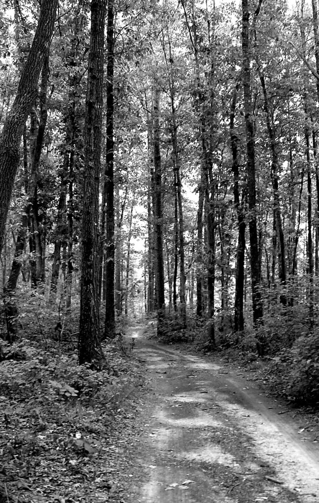
fall city rd bw
Ryan Creek
Labor Day on Smith Lake
fall city birdhouse
Topographic Map of Co Rd 12, Arley, AL, USA
Find elevation by address:

Places near Co Rd 12, Arley, AL, USA:
Bear Branch Cove Road
446 Co Rd 242
Co Rd, Crane Hill, AL, USA
177 Krista Dr
32 Lone Oak Rd, Jasper, AL, USA
Co Rd, Crane Hill, AL, USA
Co Rd, Bremen, AL, USA
Crane Hill
County Rd, Bremen, AL, USA
85 Co Rd 364
1750 Co Rd 30
Bremen
4424 County Rd 8
County Road 8
12 Misty Harbor Rd, Cullman, AL, USA
Co Rd, Cullman, AL, USA
2430 Co Rd 447
Dodge City
AL-91, Hanceville, AL, USA
Recent Searches:
- Elevation of Corso Fratelli Cairoli, 35, Macerata MC, Italy
- Elevation of Tallevast Rd, Sarasota, FL, USA
- Elevation of 4th St E, Sonoma, CA, USA
- Elevation of Black Hollow Rd, Pennsdale, PA, USA
- Elevation of Oakland Ave, Williamsport, PA, USA
- Elevation of Pedrógão Grande, Portugal
- Elevation of Klee Dr, Martinsburg, WV, USA
- Elevation of Via Roma, Pieranica CR, Italy
- Elevation of Tavkvetili Mountain, Georgia
- Elevation of Hartfords Bluff Cir, Mt Pleasant, SC, USA