Elevation of Co Rd, Buna, TX, USA
Location: United States > Texas > Jasper County > Buna >
Longitude: -93.906685
Latitude: 30.2520074
Elevation: -10000m / -32808feet
Barometric Pressure: 0KPa
Related Photos:
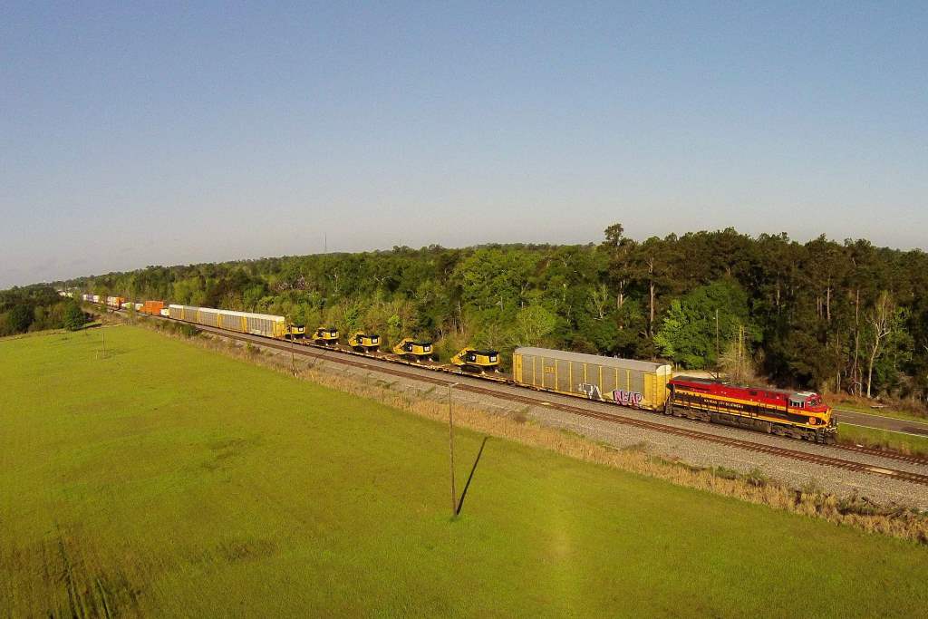
KCS IMXSH 27, Mauriceville, TX

KCS GKCMX 22, Maruiceville, TX

KCS MNSEW25, Mauriceville, TX

King Snake Hiding

Banana Spider

I took the bridge less traveled,

The gator(s) were not ready for a close-up shot today.

Timberlane - Lakeside (1)

Timberlane - Lakeside (3)

TX FM 1441

KCS 2GBVKC 06, Lemonville, TX

I-10 West - Exit 864 - FM1132 + FM1135

Texas 105 Advance Sign with Context

from @tvlsquad_mo - @stephang996_tvl do the damn thing #docpheelgood_tvl #marlow_tvlsquad #tvlarmy #tvlnation #tvlsquad #tvldoublebarrelgiveaway #tvltakeover #eastcoastvapers #westcoastvapors #vapor #vaporgram #cloudchaser #vapenation #vapecommunity #va

KCS XWLRSH 13, Lemonville, TX

Nothing like that Texas sky ☁️☁️☁️ #TexasForever #fbf

IMG_4314.CR2

Sliding into first
2012 road trip
Topographic Map of Co Rd, Buna, TX, USA
Find elevation by address:

Places near Co Rd, Buna, TX, USA:
430 Co Rd 825
County Road 3149
County Road 3139
County Road 3143
County Road 3142
County Road 3132
422 County Rd 3140
422 County Rd 3140
674 Co Rd 797
1913 Fm 105
County Road 894
Evadale
U.S. 96 S, Buna, TX, USA
4770 Co Rd 716
Old Evadale Rd, Silsbee, TX, USA
5441 Matthews Dr
Walmart Supercenter
Highway 96 North
9249 Village Creek Loop
112 Wilson Ln
Recent Searches:
- Elevation map of Greenland, Greenland
- Elevation of Sullivan Hill, New York, New York, 10002, USA
- Elevation of Morehead Road, Withrow Downs, Charlotte, Mecklenburg County, North Carolina, 28262, USA
- Elevation of 2800, Morehead Road, Withrow Downs, Charlotte, Mecklenburg County, North Carolina, 28262, USA
- Elevation of Yangbi Yi Autonomous County, Yunnan, China
- Elevation of Pingpo, Yangbi Yi Autonomous County, Yunnan, China
- Elevation of Mount Malong, Pingpo, Yangbi Yi Autonomous County, Yunnan, China
- Elevation map of Yongping County, Yunnan, China
- Elevation of North 8th Street, Palatka, Putnam County, Florida, 32177, USA
- Elevation of 107, Big Apple Road, East Palatka, Putnam County, Florida, 32131, USA
- Elevation of Jiezi, Chongzhou City, Sichuan, China
- Elevation of Chongzhou City, Sichuan, China
- Elevation of Huaiyuan, Chongzhou City, Sichuan, China
- Elevation of Qingxia, Chengdu, Sichuan, China
- Elevation of Corso Fratelli Cairoli, 35, Macerata MC, Italy
- Elevation of Tallevast Rd, Sarasota, FL, USA
- Elevation of 4th St E, Sonoma, CA, USA
- Elevation of Black Hollow Rd, Pennsdale, PA, USA
- Elevation of Oakland Ave, Williamsport, PA, USA
- Elevation of Pedrógão Grande, Portugal