Elevation of Co Rd 90, Las Animas, CO, USA
Location: United States > Colorado > Las Animas County >
Longitude: -103.24058
Latitude: 37.6439529
Elevation: 1351m / 4432feet
Barometric Pressure: 86KPa
Elevation Map:
Satellite Map:
Related Photos:

Toonerville (Not the Trolley Barn)
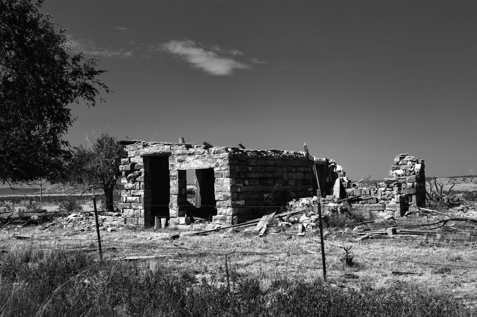
Lonely Stone Remains

Toonerville (No Trolley)
Topographic Map of Co Rd 90, Las Animas, CO, USA
Find elevation by address:

Places near Co Rd 90, Las Animas, CO, USA:
10750 Rd Z
10750 Rd Z
10750 Rd Z
Comanche National Grassland
Co Rd 50, Kim, CO, USA
Utleyville
Pritchett
Otero County
County Rd 3.1, Pritchett, CO, USA
2nd St, Model, CO, USA
Lamar, CO, USA
Highest Point In Oklahoma
Black Mesa
US-, Model, CO, USA
Kenton
Branson
25 Branson St
Main St, Branson, CO, USA
Trinchera
Des Moines
Recent Searches:
- Elevation of Corso Fratelli Cairoli, 35, Macerata MC, Italy
- Elevation of Tallevast Rd, Sarasota, FL, USA
- Elevation of 4th St E, Sonoma, CA, USA
- Elevation of Black Hollow Rd, Pennsdale, PA, USA
- Elevation of Oakland Ave, Williamsport, PA, USA
- Elevation of Pedrógão Grande, Portugal
- Elevation of Klee Dr, Martinsburg, WV, USA
- Elevation of Via Roma, Pieranica CR, Italy
- Elevation of Tavkvetili Mountain, Georgia
- Elevation of Hartfords Bluff Cir, Mt Pleasant, SC, USA