Elevation of 2nd St, Model, CO, USA
Location: United States > Colorado > Otero County >
Longitude: -103.77466
Latitude: 37.8169676
Elevation: 1351m / 4432feet
Barometric Pressure: 86KPa
Elevation Map:
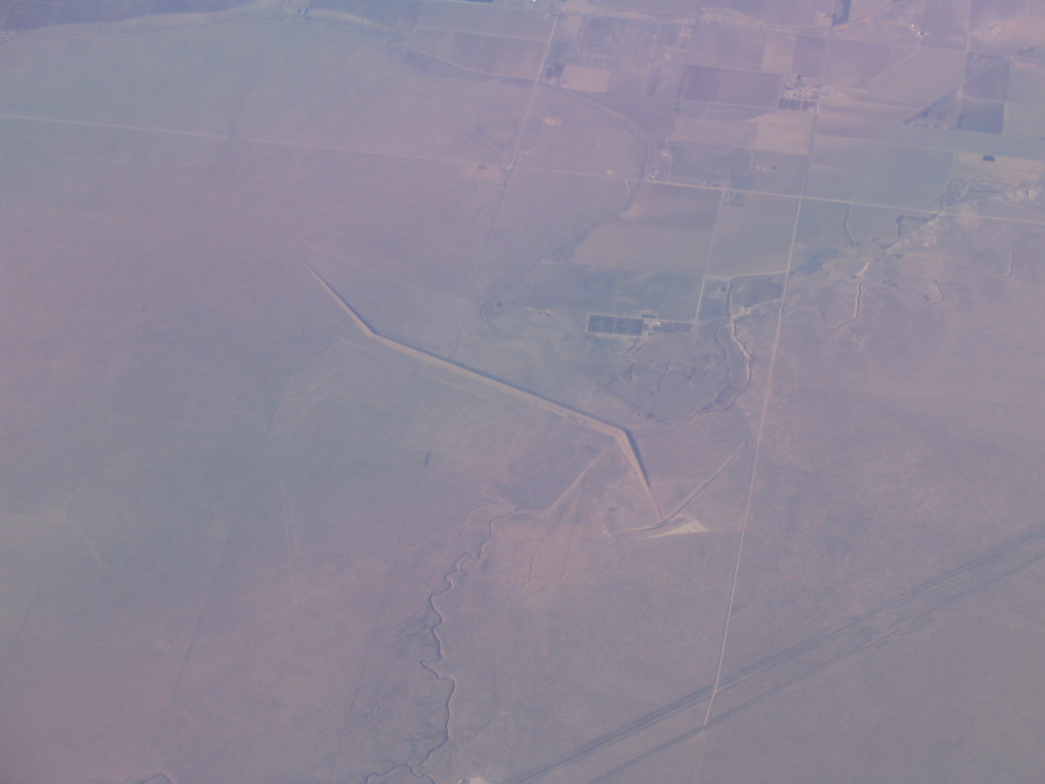
Satellite Map:
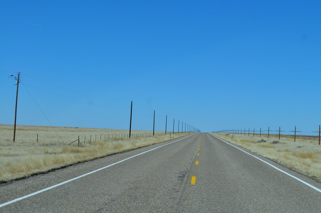
Related Photos:
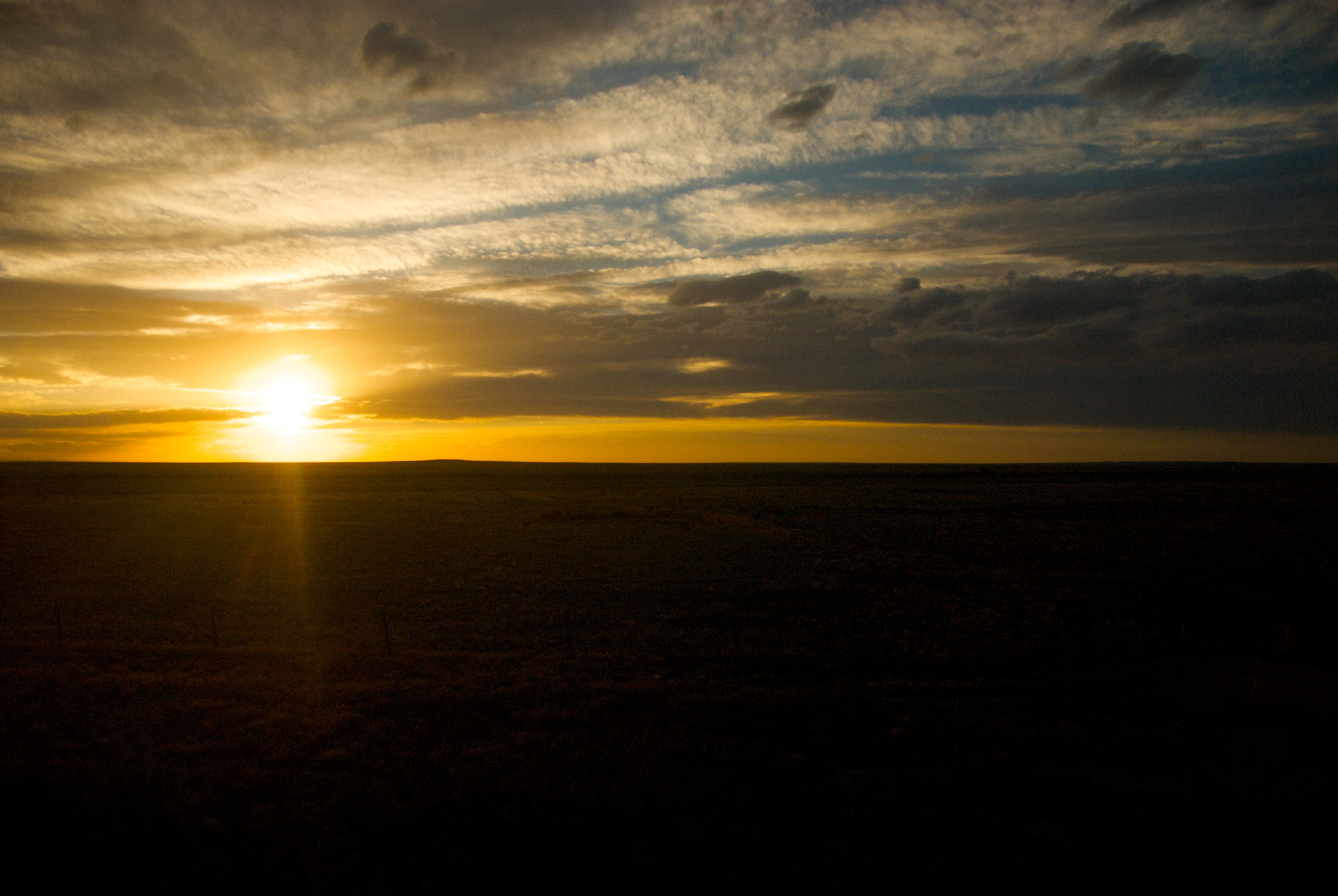
Sun setting on horizon

U.S. 350
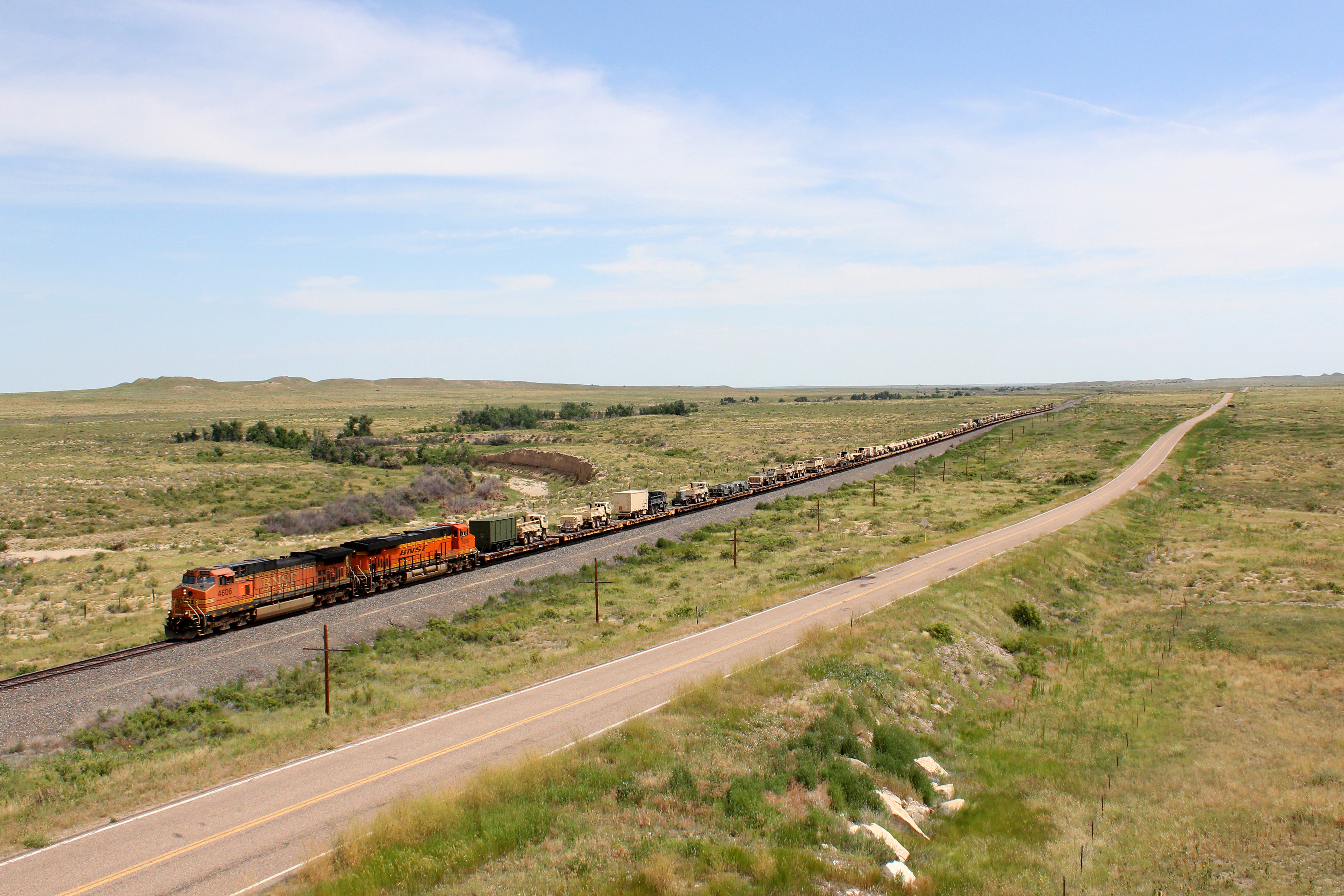
BNSF 4606
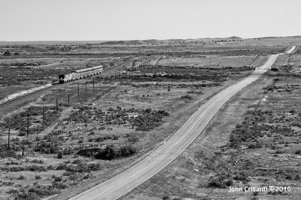
Desolate...

Delhi Overlook

185. Where the wind blows
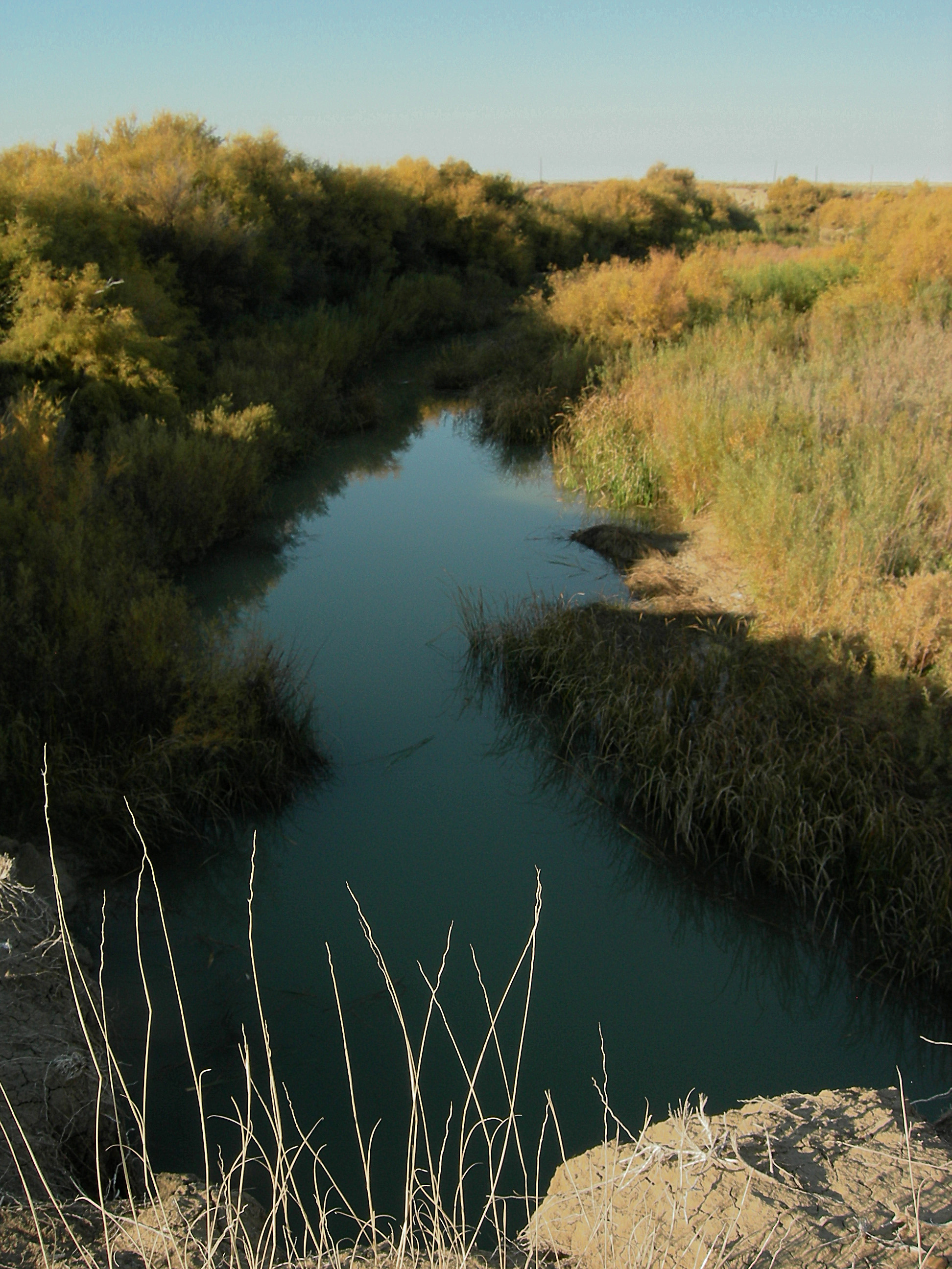
Timpas Creek

Desolate Ballast Train

184. hill

183. old track

182. clearing up
U.S. 350

082009-21.59.16
IMG_4773.JPG
Topographic Map of 2nd St, Model, CO, USA
Find elevation by address:

Places near 2nd St, Model, CO, USA:
Otero County
US-, Model, CO, USA
Co Rd 50, Kim, CO, USA
Co Rd 90, Las Animas, CO, USA
10750 Rd Z
10750 Rd Z
10750 Rd Z
Branson
25 Branson St
Main St, Branson, CO, USA
Trinchera
Comanche National Grassland
Utleyville
County Rd 3.1, Pritchett, CO, USA
Pritchett
Capulin Volcano National Monument
Des Moines
Broadway Ave, Des Moines, NM, USA
Capulin
Lamar, CO, USA
Recent Searches:
- Elevation of Corso Fratelli Cairoli, 35, Macerata MC, Italy
- Elevation of Tallevast Rd, Sarasota, FL, USA
- Elevation of 4th St E, Sonoma, CA, USA
- Elevation of Black Hollow Rd, Pennsdale, PA, USA
- Elevation of Oakland Ave, Williamsport, PA, USA
- Elevation of Pedrógão Grande, Portugal
- Elevation of Klee Dr, Martinsburg, WV, USA
- Elevation of Via Roma, Pieranica CR, Italy
- Elevation of Tavkvetili Mountain, Georgia
- Elevation of Hartfords Bluff Cir, Mt Pleasant, SC, USA