Elevation of Highest Point in Oklahoma, Black Mesa Trail, Kenton, OK, USA
Location: United States > Oklahoma > Cimarron County > Kenton >
Longitude: -102.99785
Latitude: 36.9318846
Elevation: 1517m / 4977feet
Barometric Pressure: 84KPa
Elevation Map:
Satellite Map:
Related Photos:
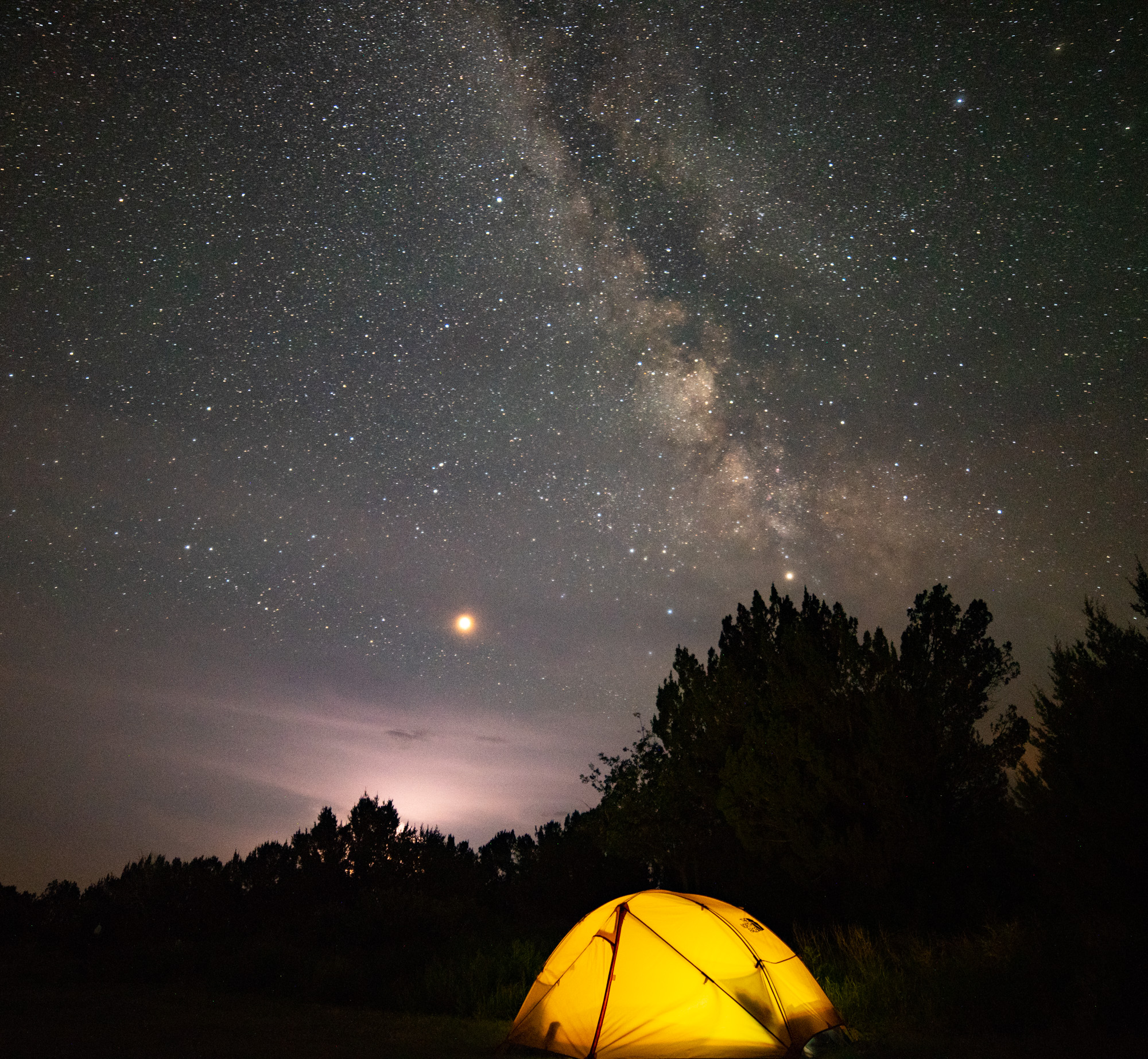
Camping Under Galaxy, Mars, and Thunderstorms
Looking Down at New Mexico
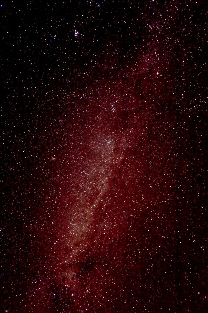
wide view of the milky way
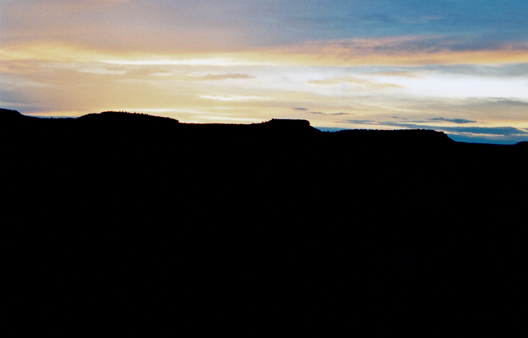
Sunrise at Black Mesa
Summit marker

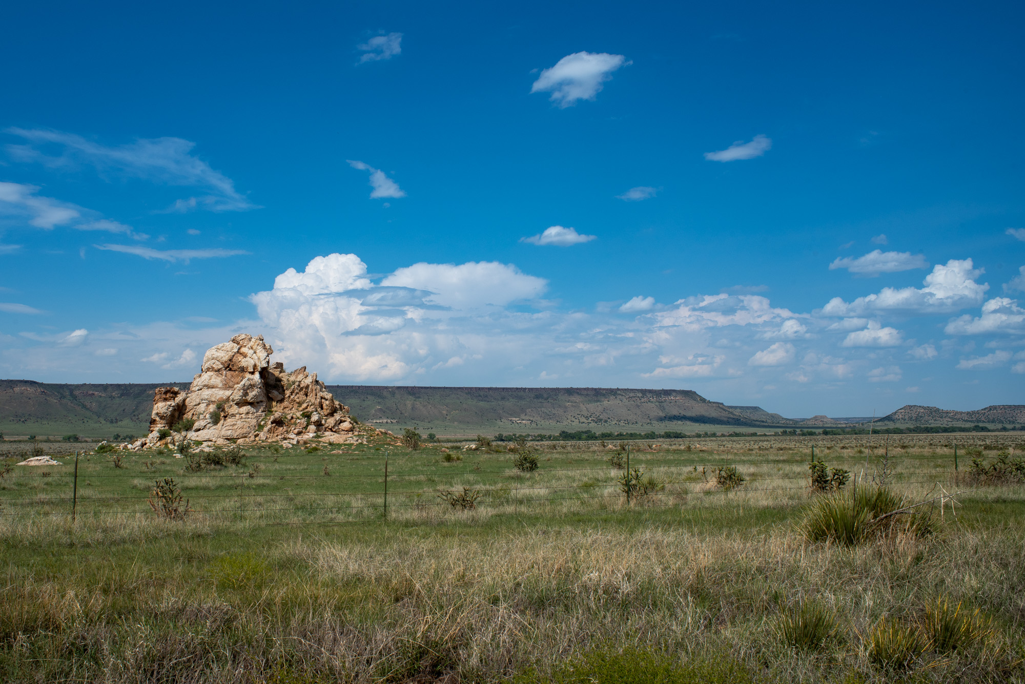
Black Mesa, Oklahoma
Top of Black Mesa

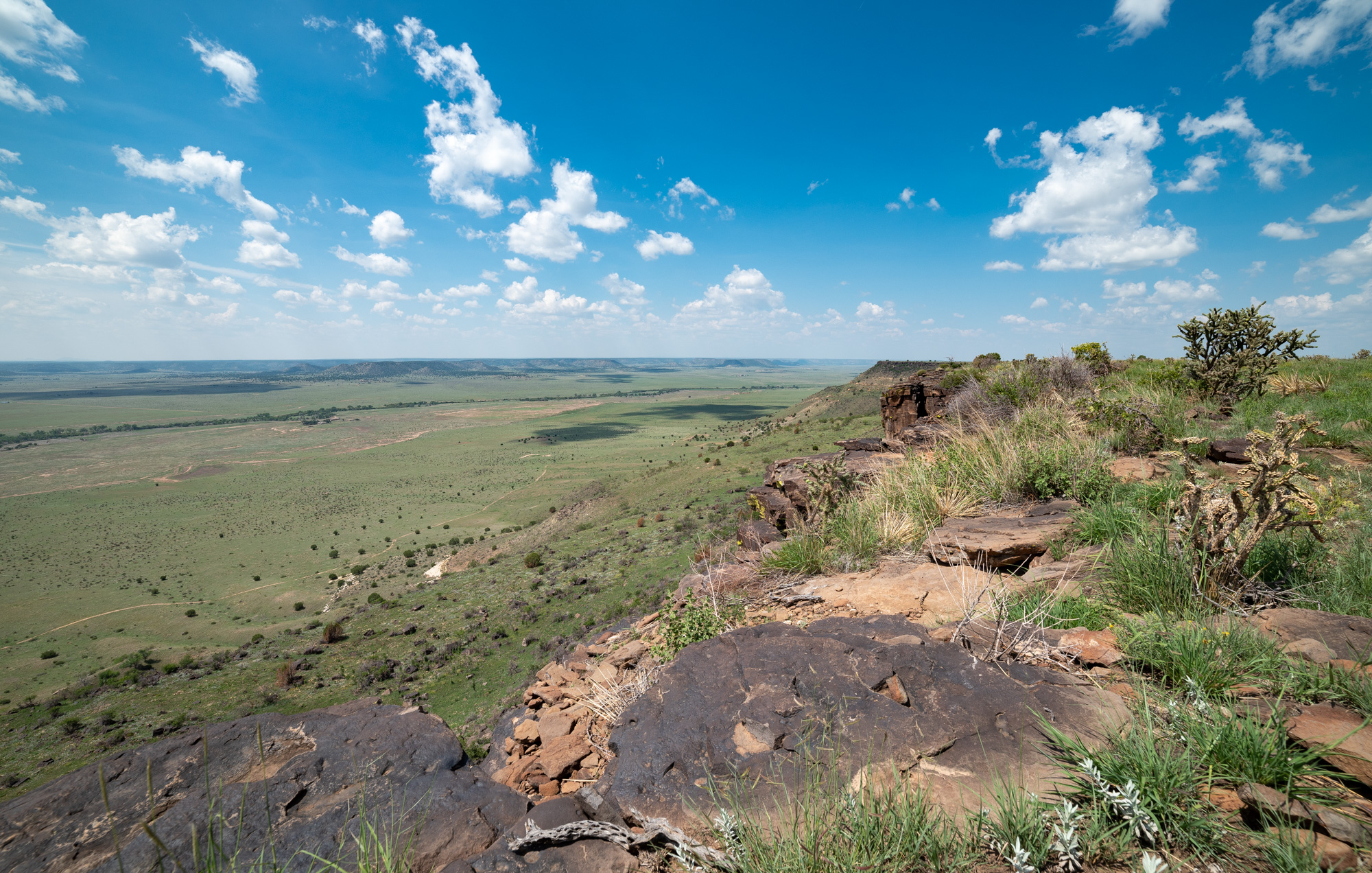
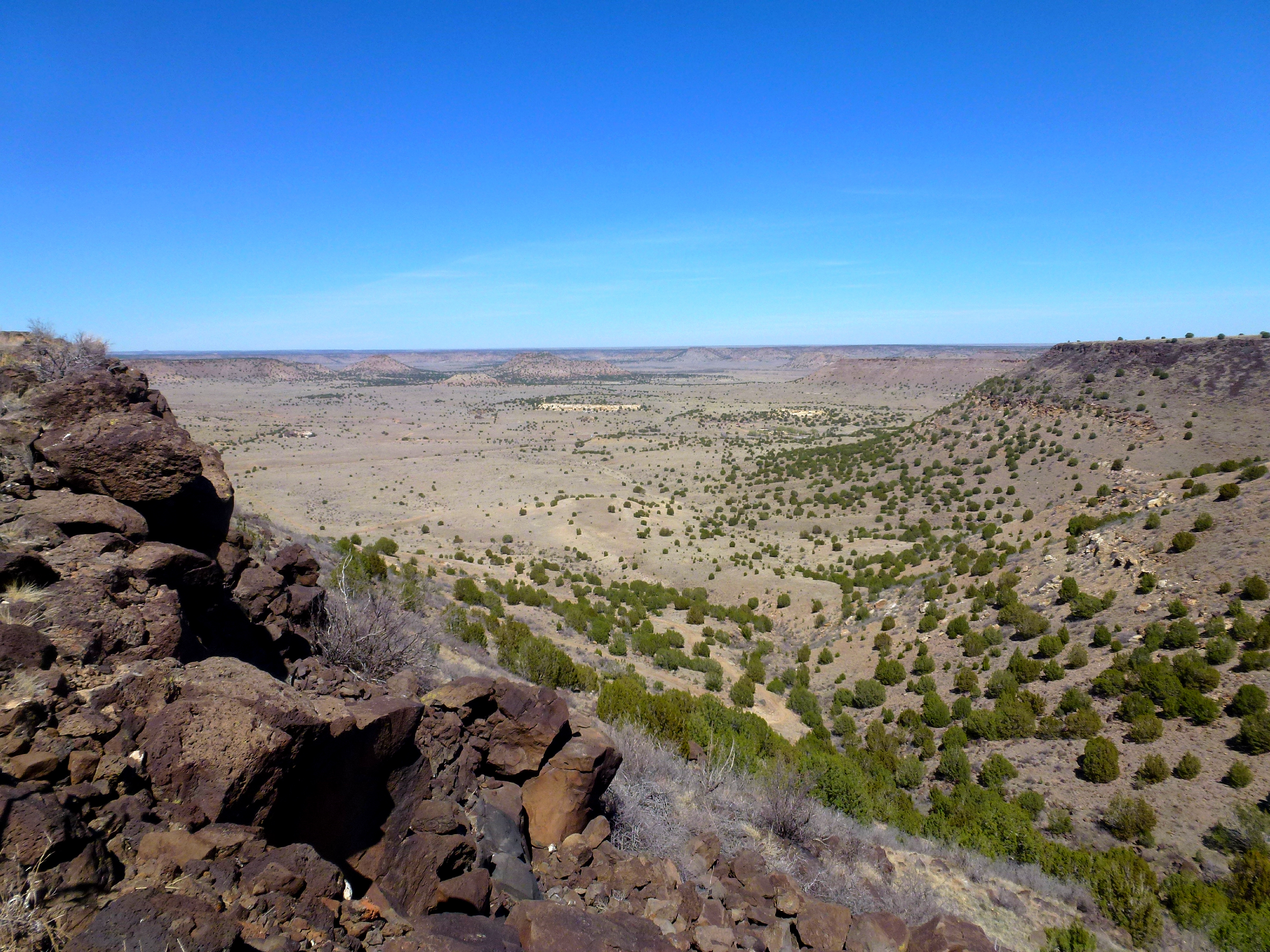
View from Black Mesa

Black Mesa, Oklahoma
Top of Black Mesa

Top of Black Mesa

Summit marker

Top of Black Mesa

View from Black Mesa
Black Mesa Northern View Panorama

Summit marker
View from Atop Black Mesa
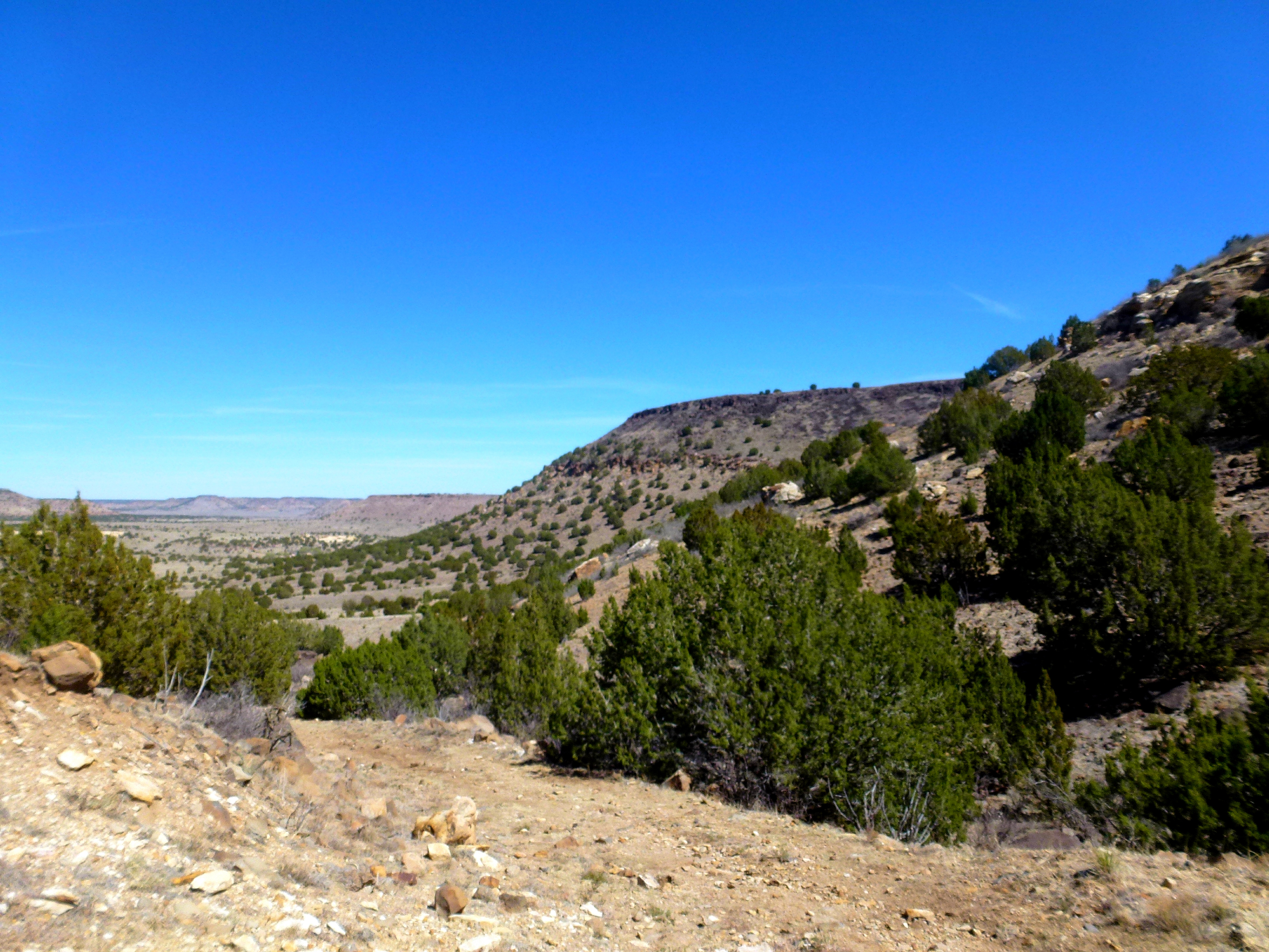
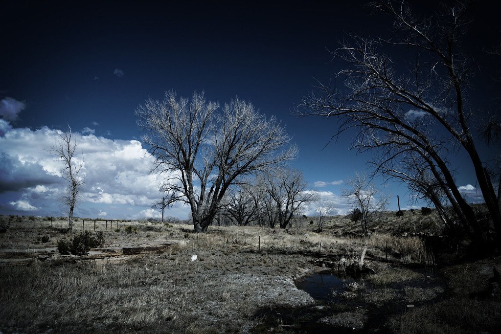
View from partway up Black Mesa

Black Mesa

Summit marker
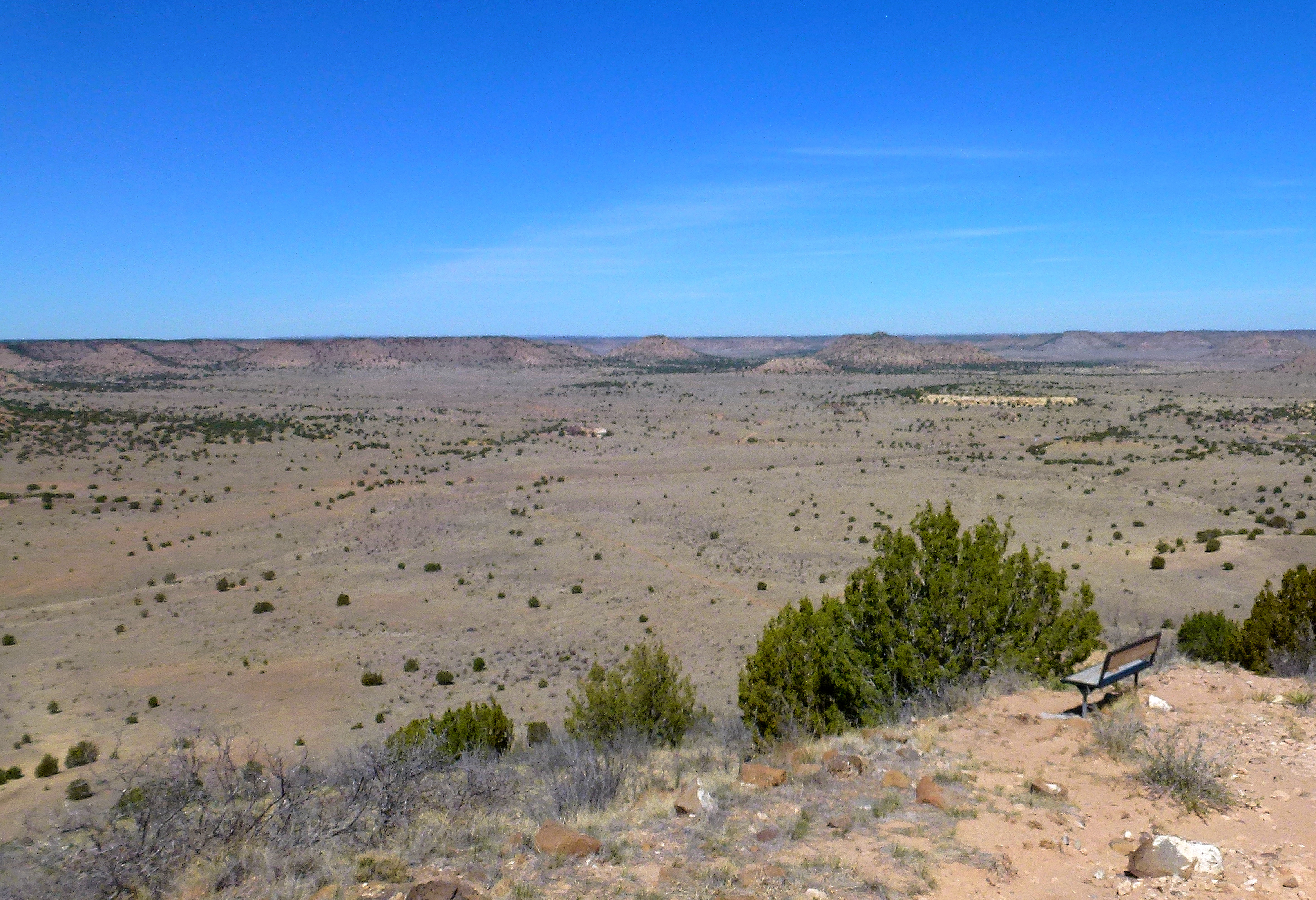
Mile 3 Bench View
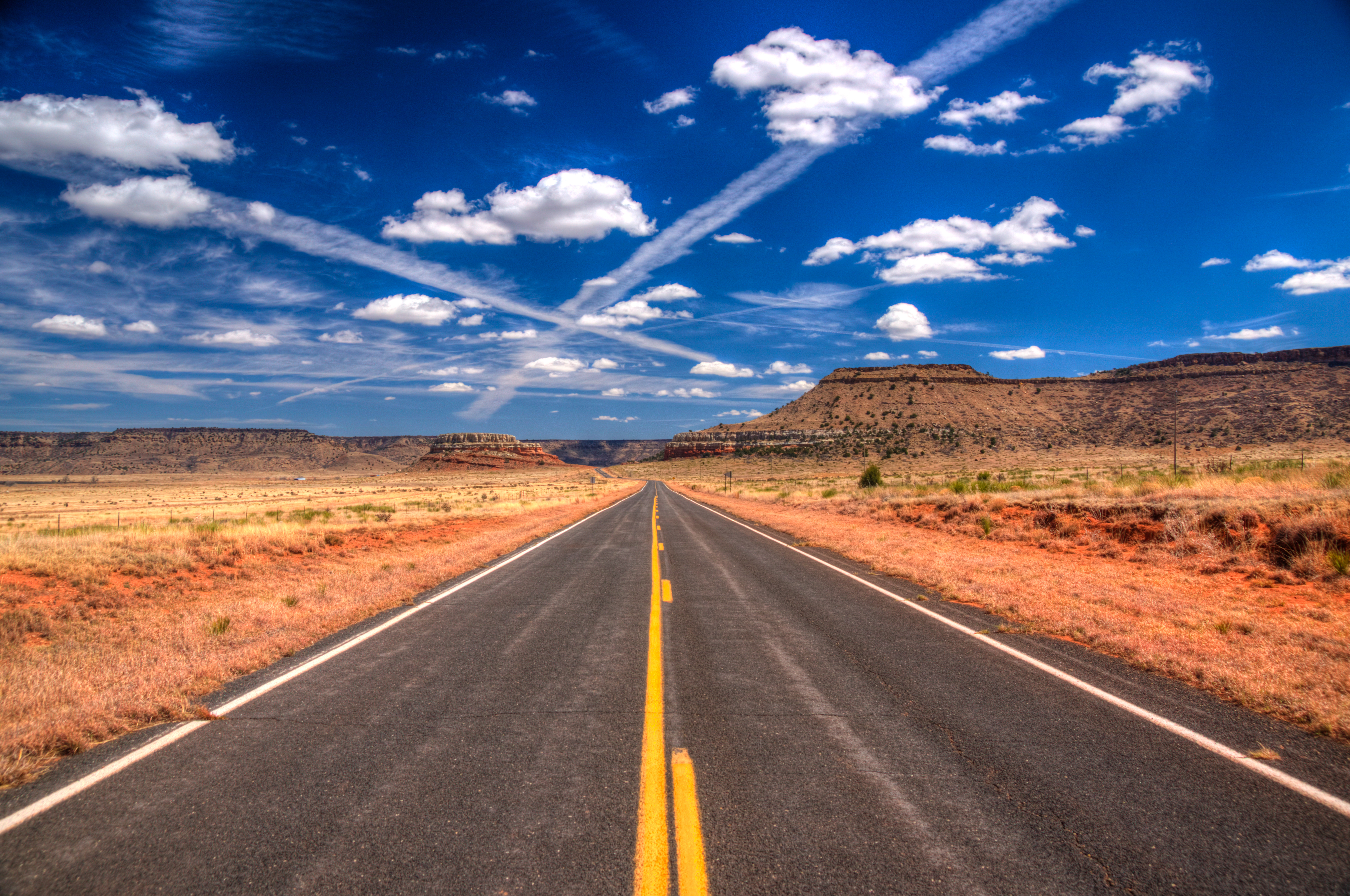
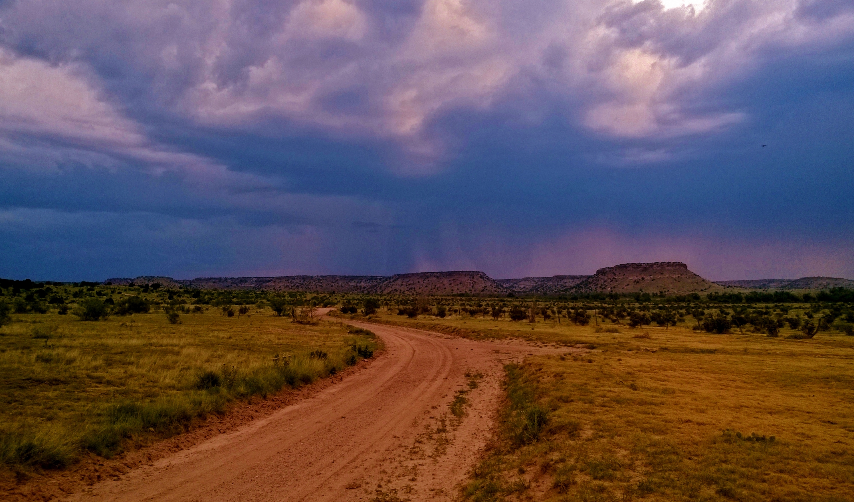
Open Road
Black Mesa
between stardust and footprints
Black Mesa
Topographic Map of Highest Point in Oklahoma, Black Mesa Trail, Kenton, OK, USA
Find elevation by address:

Places near Highest Point in Oklahoma, Black Mesa Trail, Kenton, OK, USA:
Black Mesa
Kenton
County Rd 3.1, Pritchett, CO, USA
Utleyville
Comanche National Grassland
Pritchett
Co Rd 50, Kim, CO, USA
Co Rd 90, Las Animas, CO, USA
Des Moines
Broadway Ave, Des Moines, NM, USA
25 Branson St
Main St, Branson, CO, USA
Branson
Capulin Volcano National Monument
Capulin
Lamar, CO, USA
Trinchera
10750 Rd Z
10750 Rd Z
10750 Rd Z
Recent Searches:
- Elevation of Corso Fratelli Cairoli, 35, Macerata MC, Italy
- Elevation of Tallevast Rd, Sarasota, FL, USA
- Elevation of 4th St E, Sonoma, CA, USA
- Elevation of Black Hollow Rd, Pennsdale, PA, USA
- Elevation of Oakland Ave, Williamsport, PA, USA
- Elevation of Pedrógão Grande, Portugal
- Elevation of Klee Dr, Martinsburg, WV, USA
- Elevation of Via Roma, Pieranica CR, Italy
- Elevation of Tavkvetili Mountain, Georgia
- Elevation of Hartfords Bluff Cir, Mt Pleasant, SC, USA