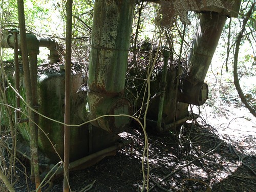
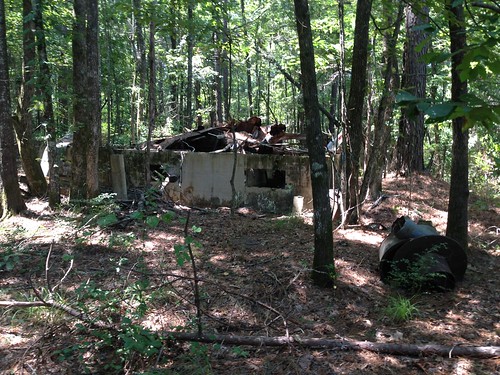
Elevation of Co Rd 89, Monticello, AR, USA
Location: United States > Arkansas > Drew County > Marion Township > Monticello >
Longitude: -91.814245
Latitude: 33.6653909
Elevation: 91m / 299feet
Barometric Pressure: 100KPa
Related Photos:
Topographic Map of Co Rd 89, Monticello, AR, USA
Find elevation by address:

Places near Co Rd 89, Monticello, AR, USA:
Key Employment Inc
Monticello
Crestwood Drive
Marion Township
Co Rd 48, Monticello, AR, USA
S Allis Rd, Wilmar, AR, USA
Saline Township
Wilmar
Drew County
Drew County
Drew County
Drew County
Drew County
Veasey Township
Veasey Township
Veasey Township
Veasey Township
Veasey Township
Veasey Township
Rye Cutoff, Rison, AR, USA
Recent Searches:
- Elevation of Corso Fratelli Cairoli, 35, Macerata MC, Italy
- Elevation of Tallevast Rd, Sarasota, FL, USA
- Elevation of 4th St E, Sonoma, CA, USA
- Elevation of Black Hollow Rd, Pennsdale, PA, USA
- Elevation of Oakland Ave, Williamsport, PA, USA
- Elevation of Pedrógão Grande, Portugal
- Elevation of Klee Dr, Martinsburg, WV, USA
- Elevation of Via Roma, Pieranica CR, Italy
- Elevation of Tavkvetili Mountain, Georgia
- Elevation of Hartfords Bluff Cir, Mt Pleasant, SC, USA


