Elevation of Co Rd 48, Monticello, AR, USA
Location: United States > Arkansas > Drew County > Marion Township > Monticello >
Longitude: -91.7439931
Latitude: 33.6066655
Elevation: 68m / 223feet
Barometric Pressure: 0KPa
Related Photos:

Geese in the pasture

#9

#5
#4
#10
#1
#3
#2
#6
#7
#8
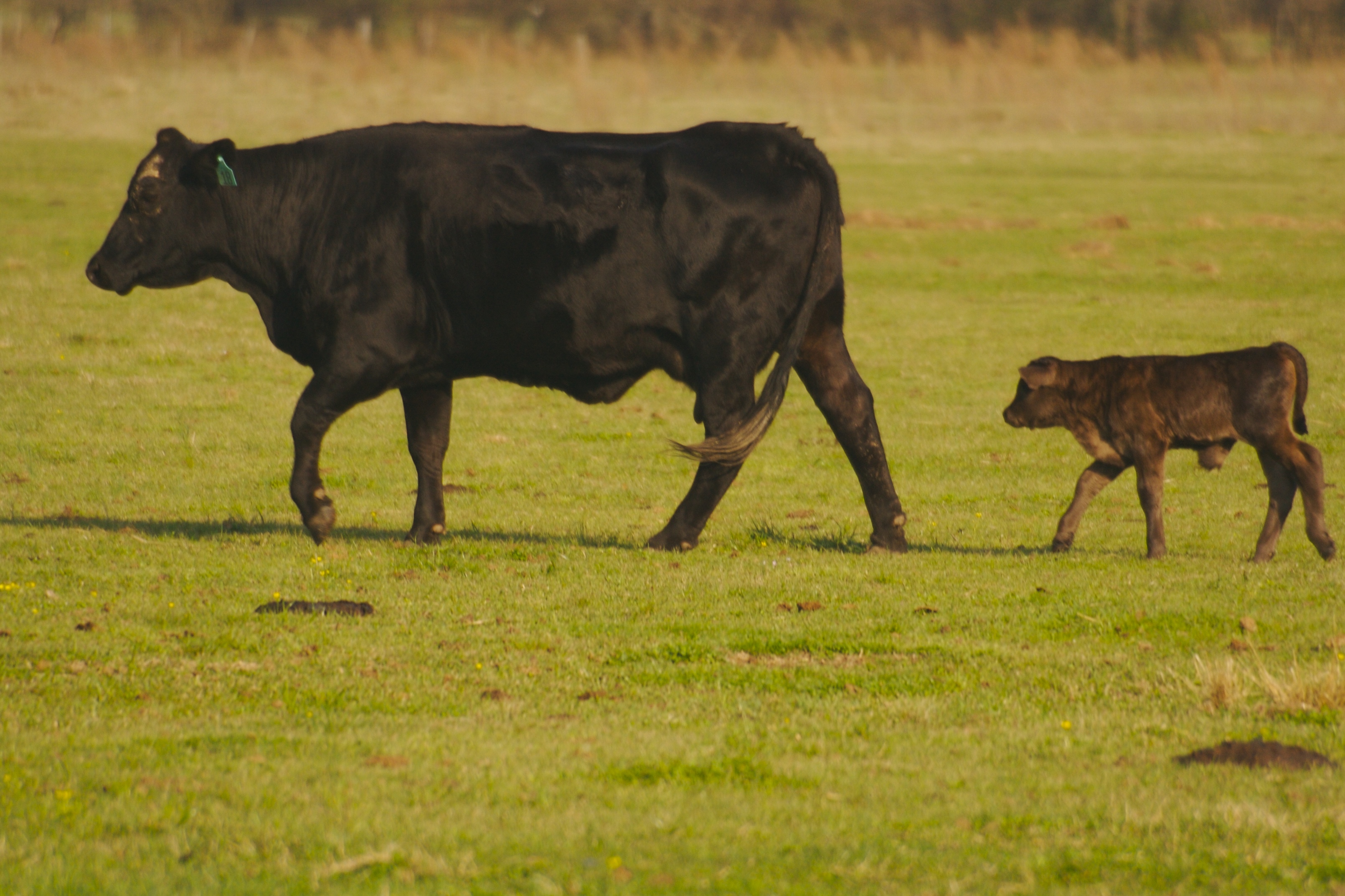
Bovine!!

Venus in the sky
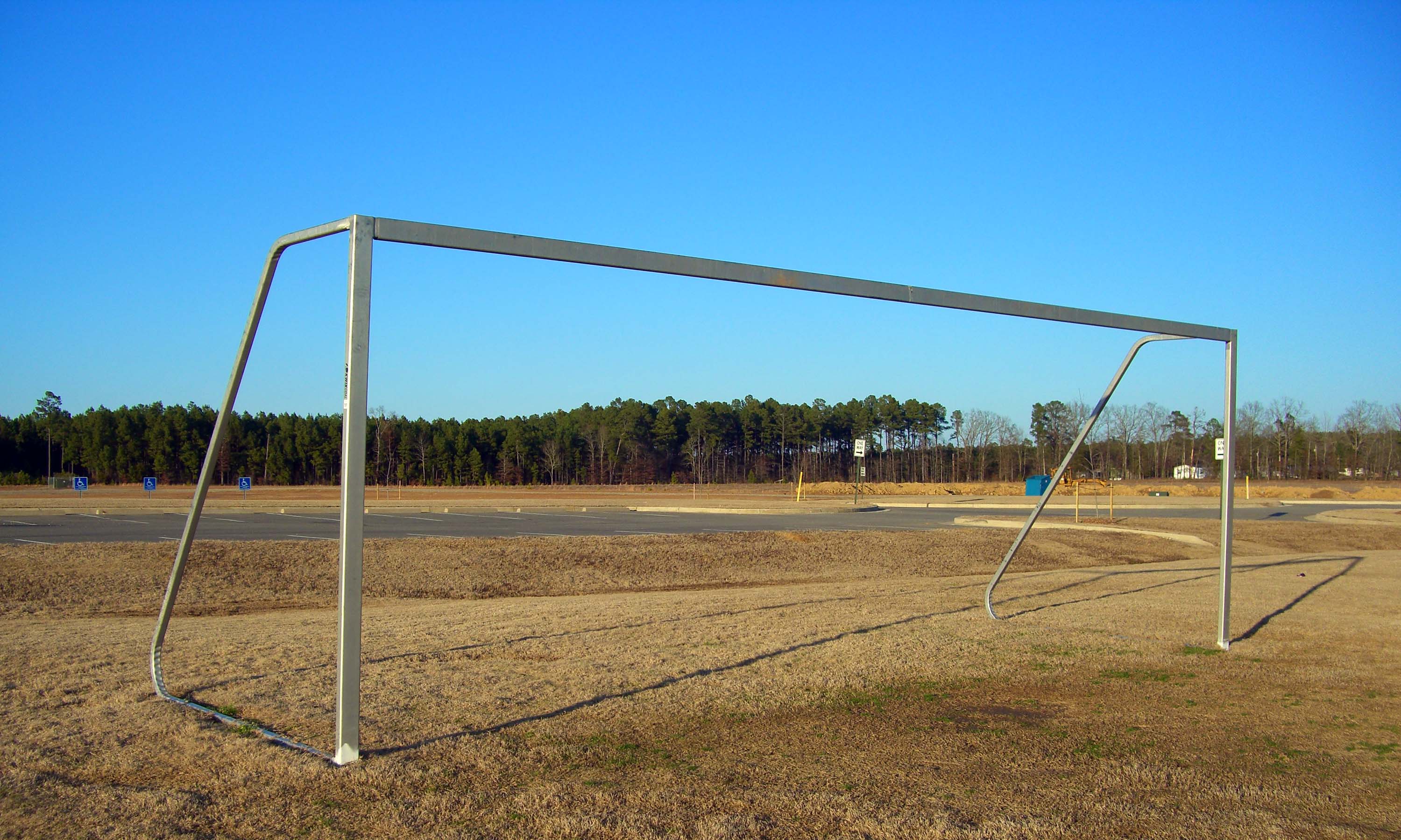
sports complex

Skyler in the pasture
2014-08-28 12.31.45
2014-08-28 12.29.06
Topographic Map of Co Rd 48, Monticello, AR, USA
Find elevation by address:

Places near Co Rd 48, Monticello, AR, USA:
Marion Township
Monticello
Crestwood Drive
Drew County
Drew County
Drew County
Drew County
Drew County
Co Rd 89, Monticello, AR, USA
Key Employment Inc
Veasey Township
Veasey Township
Veasey Township
Veasey Township
Veasey Township
Veasey Township
S Allis Rd, Wilmar, AR, USA
Saline Township
Wilmar
US-, Fountain Hill, AR, USA
Recent Searches:
- Elevation map of Greenland, Greenland
- Elevation of Sullivan Hill, New York, New York, 10002, USA
- Elevation of Morehead Road, Withrow Downs, Charlotte, Mecklenburg County, North Carolina, 28262, USA
- Elevation of 2800, Morehead Road, Withrow Downs, Charlotte, Mecklenburg County, North Carolina, 28262, USA
- Elevation of Yangbi Yi Autonomous County, Yunnan, China
- Elevation of Pingpo, Yangbi Yi Autonomous County, Yunnan, China
- Elevation of Mount Malong, Pingpo, Yangbi Yi Autonomous County, Yunnan, China
- Elevation map of Yongping County, Yunnan, China
- Elevation of North 8th Street, Palatka, Putnam County, Florida, 32177, USA
- Elevation of 107, Big Apple Road, East Palatka, Putnam County, Florida, 32131, USA
- Elevation of Jiezi, Chongzhou City, Sichuan, China
- Elevation of Chongzhou City, Sichuan, China
- Elevation of Huaiyuan, Chongzhou City, Sichuan, China
- Elevation of Qingxia, Chengdu, Sichuan, China
- Elevation of Corso Fratelli Cairoli, 35, Macerata MC, Italy
- Elevation of Tallevast Rd, Sarasota, FL, USA
- Elevation of 4th St E, Sonoma, CA, USA
- Elevation of Black Hollow Rd, Pennsdale, PA, USA
- Elevation of Oakland Ave, Williamsport, PA, USA
- Elevation of Pedrógão Grande, Portugal