Elevation of City Rd, Fitzgerald, GA, USA
Location: United States > Georgia > Ben Hill County > Fitzgerald >
Longitude: -83.236424
Latitude: 31.799103
Elevation: 78m / 256feet
Barometric Pressure: 0KPa
Related Photos:

Pine Level Farmhouse

Four Cows

Hay bales

CSX 838, headed to Waycross
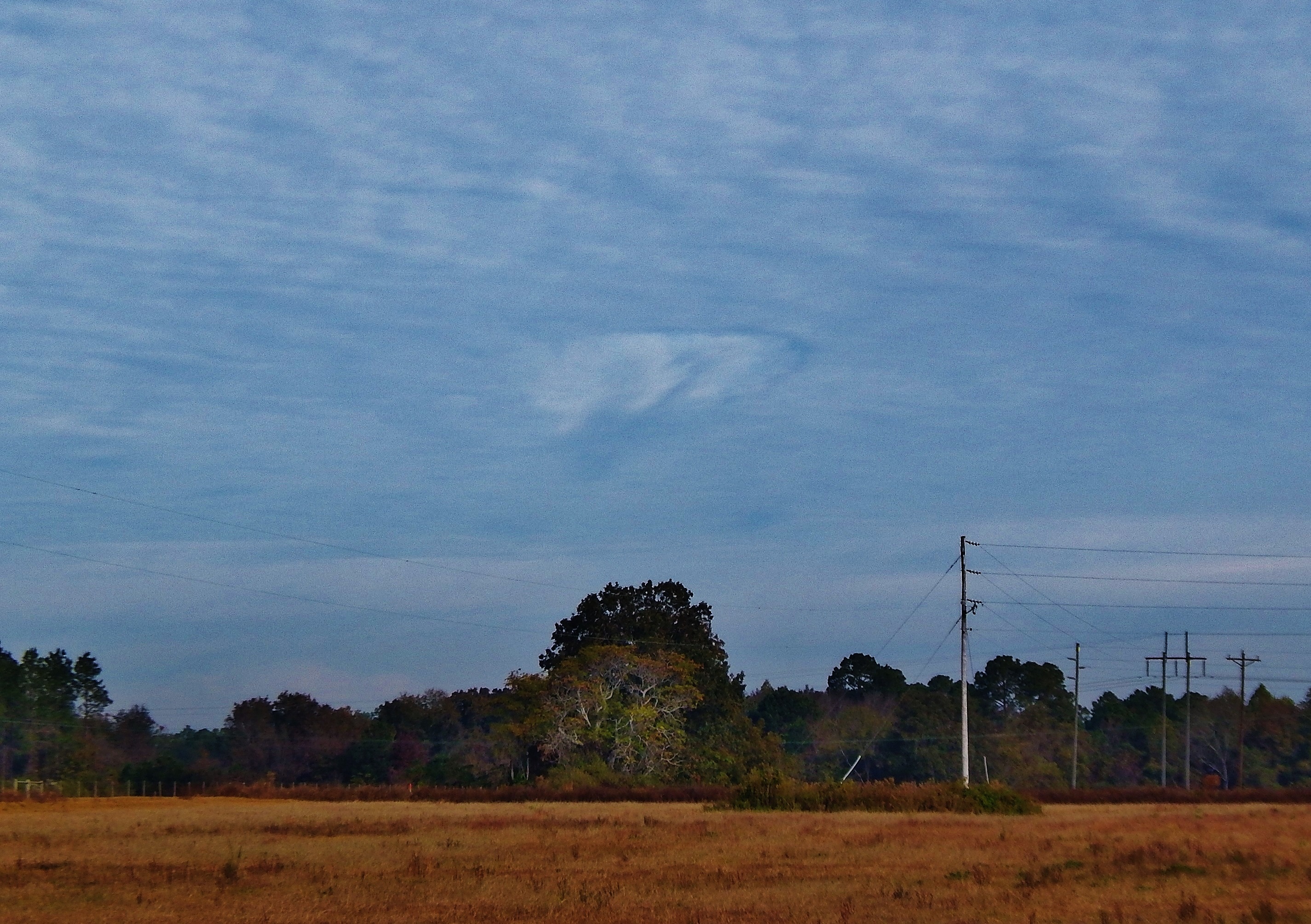
Hole punch cloud, NW of Fitzgerald GA
Topographic Map of City Rd, Fitzgerald, GA, USA
Find elevation by address:

Places near City Rd, Fitzgerald, GA, USA:
374 Otter Creek Rd
131 Otter Creek Rd
443 Lulaville Rd
Ben Hill County
River Rd, Fitzgerald, GA, USA
285 Preston Dr
Westwood Dr, Fitzgerald, GA, USA
Fitzgerald
108 Shenandoah Dr
125 Shady Ln
1426 River Rd
GA-, Milan, GA, USA
10 Mile Rd, Rebecca, GA, USA
122 Nancy Ln
106 Pine Ct
Rhine
Ocilla
Abbeville
Pinetta Rd, Ocilla, GA, USA
Irwin County
Recent Searches:
- Elevation of Pasing, Munich, Bavaria, 81241, Germany
- Elevation of 24, Auburn Bay Crescent SE, Auburn Bay, Calgary, Alberta, T3M 0A6, Canada
- Elevation of Denver, 2314, Arapahoe Street, Five Points, Denver, Colorado, 80205, USA
- Elevation of Community of the Beatitudes, 2924, West 43rd Avenue, Sunnyside, Denver, Colorado, 80211, USA
- Elevation map of Litang County, Sichuan, China
- Elevation map of Madoi County, Qinghai, China
- Elevation of 3314, Ohio State Route 114, Payne, Paulding County, Ohio, 45880, USA
- Elevation of Sarahills Drive, Saratoga, Santa Clara County, California, 95070, USA
- Elevation of Town of Bombay, Franklin County, New York, USA
- Elevation of 9, Convent Lane, Center Moriches, Suffolk County, New York, 11934, USA
- Elevation of Saint Angelas Convent, 9, Convent Lane, Center Moriches, Suffolk County, New York, 11934, USA
- Elevation of 131st Street Southwest, Mukilteo, Snohomish County, Washington, 98275, USA
- Elevation of 304, Harrison Road, Naples, Cumberland County, Maine, 04055, USA
- Elevation of 2362, Timber Ridge Road, Harrisburg, Cabarrus County, North Carolina, 28075, USA
- Elevation of Ridge Road, Marshalltown, Marshall County, Iowa, 50158, USA
- Elevation of 2459, Misty Shadows Drive, Pigeon Forge, Sevier County, Tennessee, 37862, USA
- Elevation of 8043, Brightwater Way, Spring Hill, Williamson County, Tennessee, 37179, USA
- Elevation of Starkweather Road, San Luis, Costilla County, Colorado, 81152, USA
- Elevation of 5277, Woodside Drive, Baton Rouge, East Baton Rouge Parish, Louisiana, 70808, USA
- Elevation of 1139, Curtin Street, Shepherd Park Plaza, Houston, Harris County, Texas, 77018, USA