Elevation of River Rd, Fitzgerald, GA, USA

Location: United States > Georgia > Ben Hill County > Fitzgerald >

Longitude: -83.099176

Latitude: 31.78511

Elevation: 76m / 249feet

Barometric Pressure: 100KPa

Elevation Map:

elevation map of River Rd, Fitzgerald, GA, USA

Satellite Map:

Satellite map of River Rd, Fitzgerald, GA, USA

Related Photos:

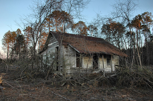
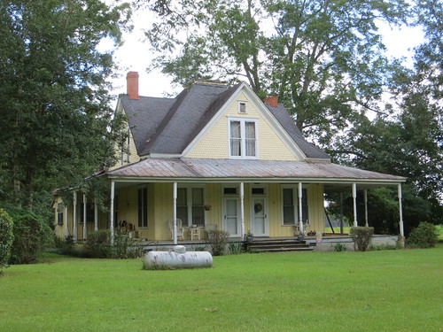
pictures house abandoned farmhouse rural ga georgia photo decay picture southern vernacular tenant sharecropper benhillcounty vanishingsouthgeorgia copyrightbrianbrown ashtoncommunity pinelevelcommunity
Pine Level Farmhouse
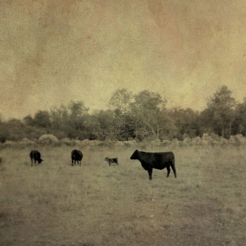
pictures usa black texture rural america ga georgia cow photo cattle cows south country pasture pastoral 2011 antiquelook copyrightbrianbrown
Four Cows
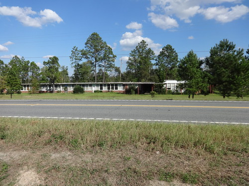
georgia 2014 telfaircounty usroute441 usroute319 georgiastateroute31
Abandoned School, US319 across from CR66, Telfair County
Wild Flowers
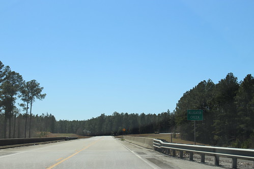
georgia unitedstates 2021 telfaircounty usroute441 usroute319 georgiastateroute31
US319 SB Alligator Creek
georgia unitedstates 2021 usroute441 jacksonvillegeorgia usroute319 georgiastateroute31 georgiastateroute117
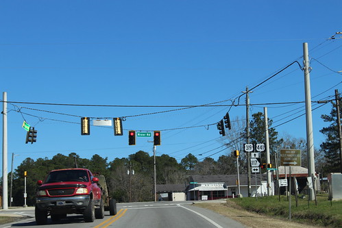
US319 US441 NB GA 117 Intersection
georgia unitedstates 2021 usroute441 jacksonvillegeorgia usroute319 georgiastateroute31
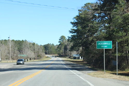
US441 NB Jacksonville City limit
georgia unitedstates georgiastateroute31 coffeecounty usroute319 usroute441 bridge 2021
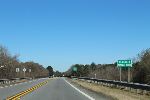
J.H. Milhollin Memorial Bridge, US441N
georgia unitedstates telfaircounty georgiastateroute31 bridge 2021 coffeecounty usroute441 usroute319
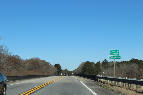
NB Telfair County, Ocmulgee River
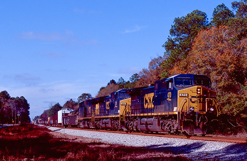
film eos3 fujichrome velvia100 csxfitzgeraldsubdivision osierfield georgia csxq541
Q541 South
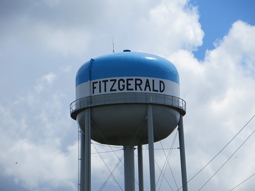
©lancetaylor posrus georgia benhillcounty watertower watertank
Water Tank Fitzgerald GA
©lancetaylor posrus georgia benhillcounty nrhp
Miles V Wilsey House Fitzgerald GA
Aunt Daisy's old well
Beautiful Tree
In the office
georgia unitedstates 2021 coffeecounty usroute441 usroute319 georgiastateroute31 georgiastateroute107
US319 SB Mobley Bluff Landing
georgia unitedstates 2021 coffeecounty usroute441 usroute319 georgiastateroute31 georgiastateroute107
US319 SB Jct GA107 WB
georgia unitedstates 2021 coffeecounty usroute441 usroute319 georgiastateroute31 georgiastateroute107
US441 SB, US319 SB turn right
georgia unitedstates 2021 coffeecounty usroute441 usroute319 georgiastateroute31 georgiastateroute107
US441 GA31 SB GA107 EB, US319 SB GA107 WB turn right
georgia unitedstates 2021 coffeecounty usroute441 georgiastateroute31 georgiastateroute107
US441N GA31N GA107W
broxton georgia unitedstates georgiastateroute31 georgiastateroute107 usroute441
US441N GA31N GA107W MM27
broxton georgia unitedstates georgiastateroute31 georgiastateroute107 usroute441
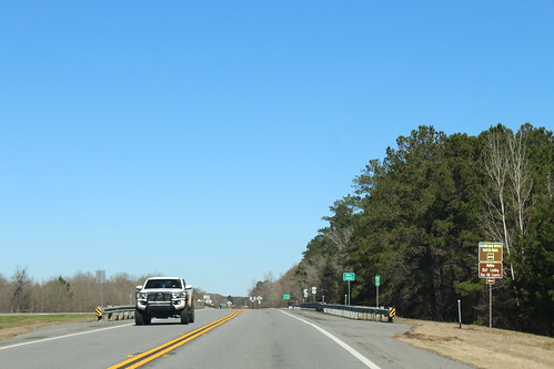
Ocmulgee River Water Trail, Mobley Bluff Landing Ben Hill County, US441N
broxton georgia unitedstates georgiastateroute31 georgiastateroute107 usroute441 bridge
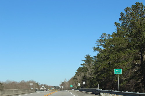
Mill Creek, US441N, Coffee County
broxton georgia unitedstates georgiastateroute31 georgiastateroute107 usroute441
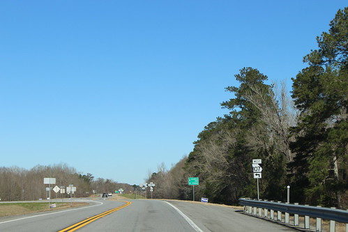
GA107 turn left, US441N