Elevation of Ben Hill County, GA, USA
Location: United States > Georgia >
Longitude: -83.207764
Latitude: 31.7664035
Elevation: 82m / 269feet
Barometric Pressure: 100KPa
Elevation Map:
Satellite Map:
Related Photos:

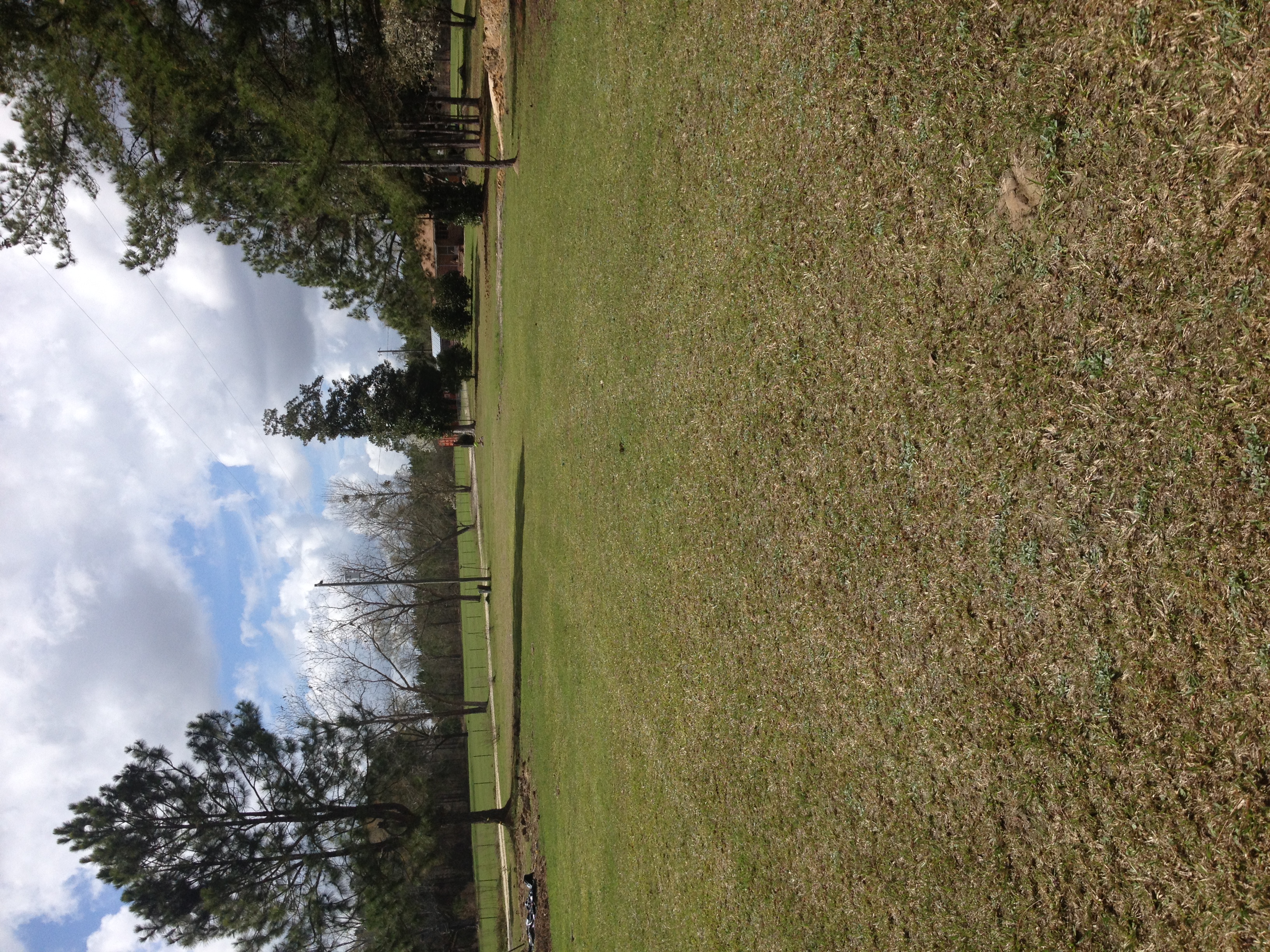
Pine Level Farmhouse

Four Cows

They Shoot Trucks, Don't They?

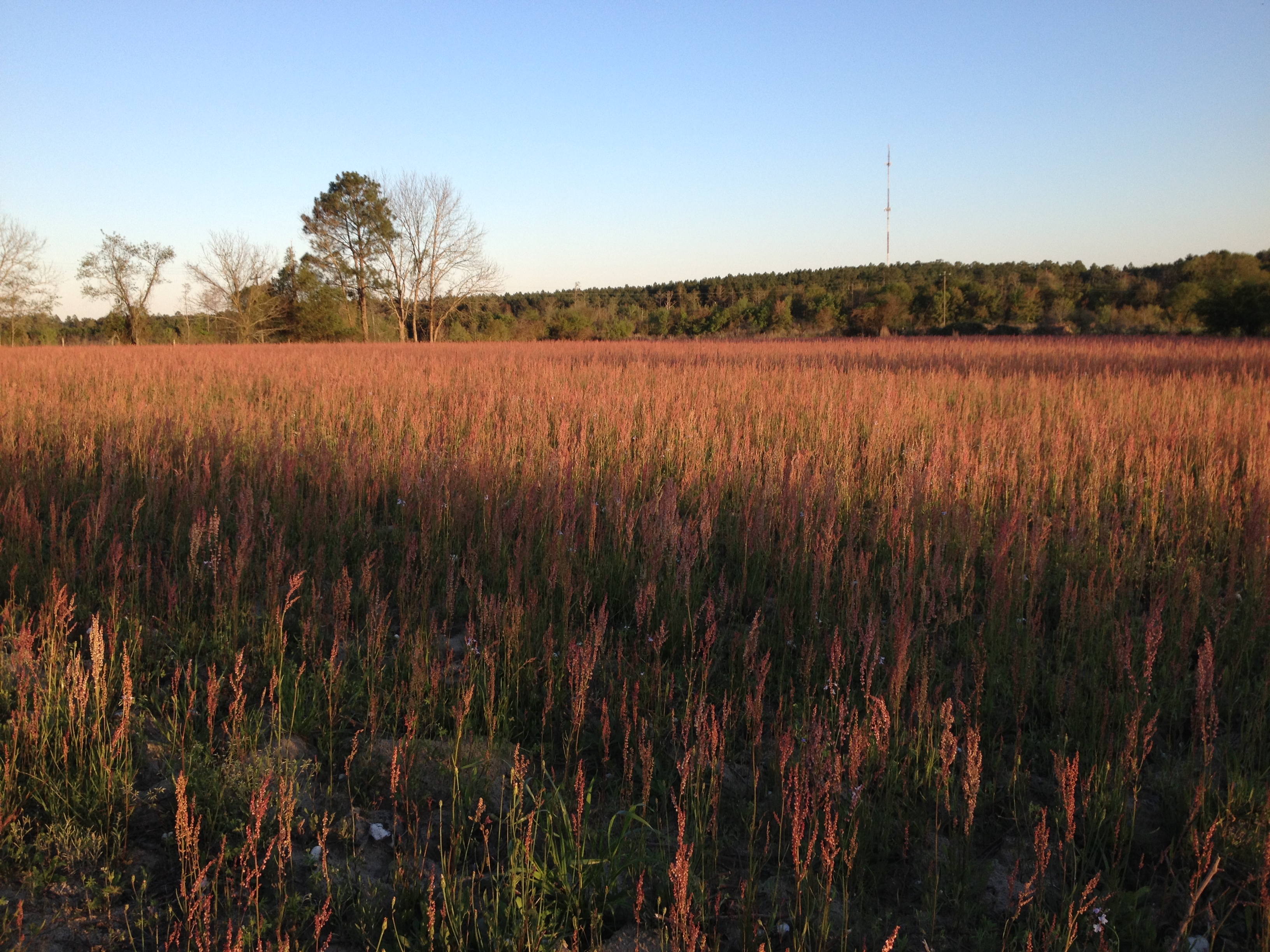
Hay bales


Topographic Map of Ben Hill County, GA, USA
Find elevation by address:

Places in Ben Hill County, GA, USA:
Places near Ben Hill County, GA, USA:
443 Lulaville Rd
131 Otter Creek Rd
374 Otter Creek Rd
City Rd, Fitzgerald, GA, USA
Fitzgerald
River Rd, Fitzgerald, GA, USA
285 Preston Dr
108 Shenandoah Dr
Westwood Dr, Fitzgerald, GA, USA
125 Shady Ln
1426 River Rd
GA-, Milan, GA, USA
106 Pine Ct
Ocilla
10 Mile Rd, Rebecca, GA, USA
122 Nancy Ln
Irwin County
Red Bluff Rd, Wray, GA, USA
Wray Rd, Wray, GA, USA
Wray
Recent Searches:
- Elevation of Corso Fratelli Cairoli, 35, Macerata MC, Italy
- Elevation of Tallevast Rd, Sarasota, FL, USA
- Elevation of 4th St E, Sonoma, CA, USA
- Elevation of Black Hollow Rd, Pennsdale, PA, USA
- Elevation of Oakland Ave, Williamsport, PA, USA
- Elevation of Pedrógão Grande, Portugal
- Elevation of Klee Dr, Martinsburg, WV, USA
- Elevation of Via Roma, Pieranica CR, Italy
- Elevation of Tavkvetili Mountain, Georgia
- Elevation of Hartfords Bluff Cir, Mt Pleasant, SC, USA