Elevation map of Citrusdal, South Africa
Location: South Africa > Western Cape > West Coast Dc >
Longitude: 19.0118251
Latitude: -32.589120
Elevation: 169m / 554feet
Barometric Pressure: 99KPa
Elevation Map:
Satellite Map:
Related Photos:

Views of old Piekenierskloof Pass

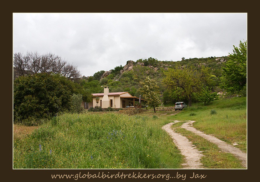
Citrudal front view

Citrusdal, 10th anniversary moon

Citrusdal side stoep
Views of old Piekenierskloof Pass
Views of old Piekenierskloof Pass

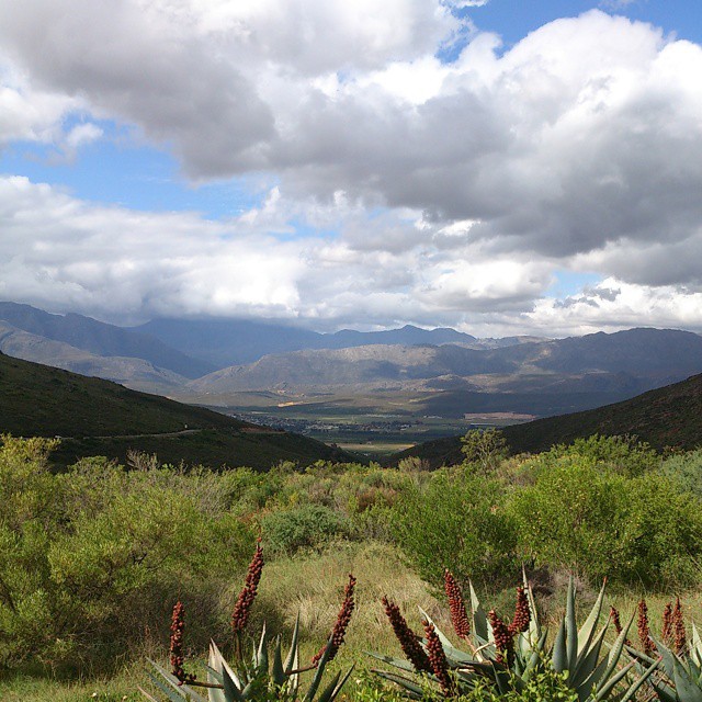
View of Citrusdal from Piekenierskloof Pass

View on road between Ceres and Citrusdal - Sony Alpha 100 Camera

View on road between Ceres and Citrusdal - Nokia E90 Camera

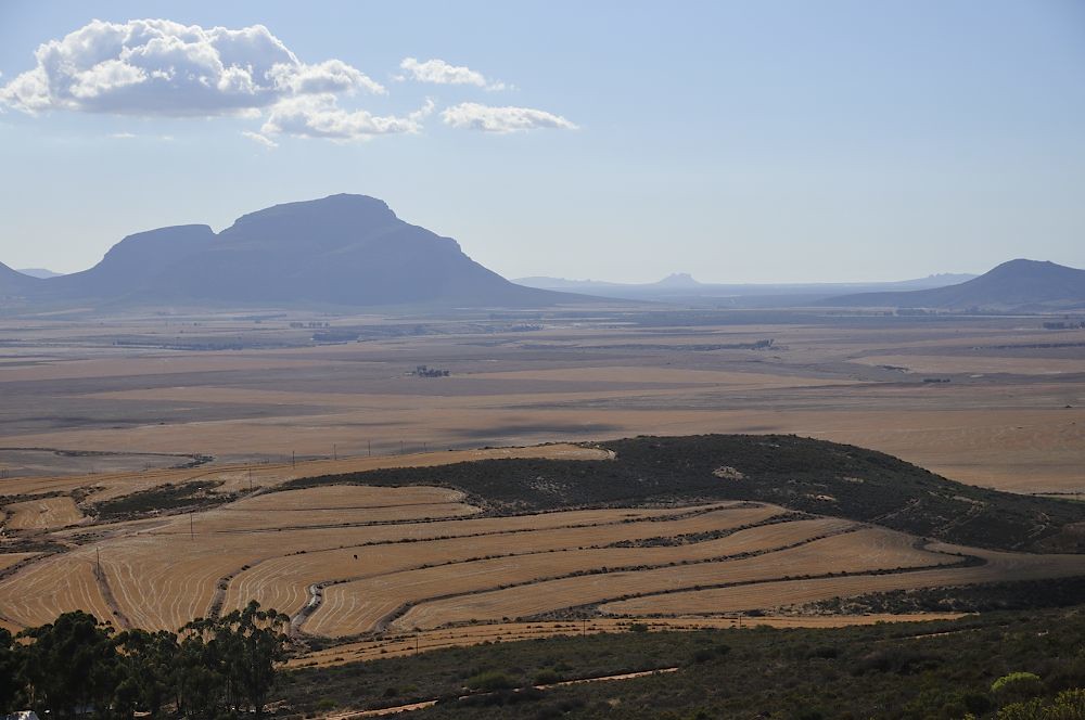
View South from summit of Piekenierskloof Pass

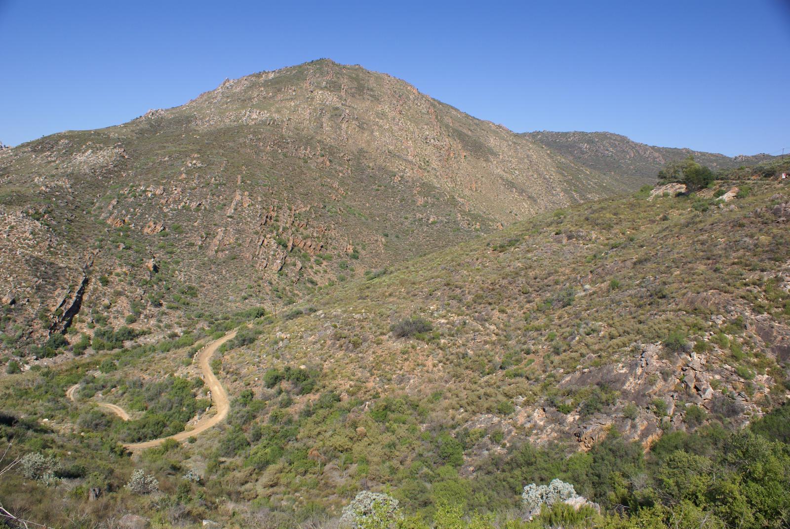
Views of old Piekenierskloof Pass

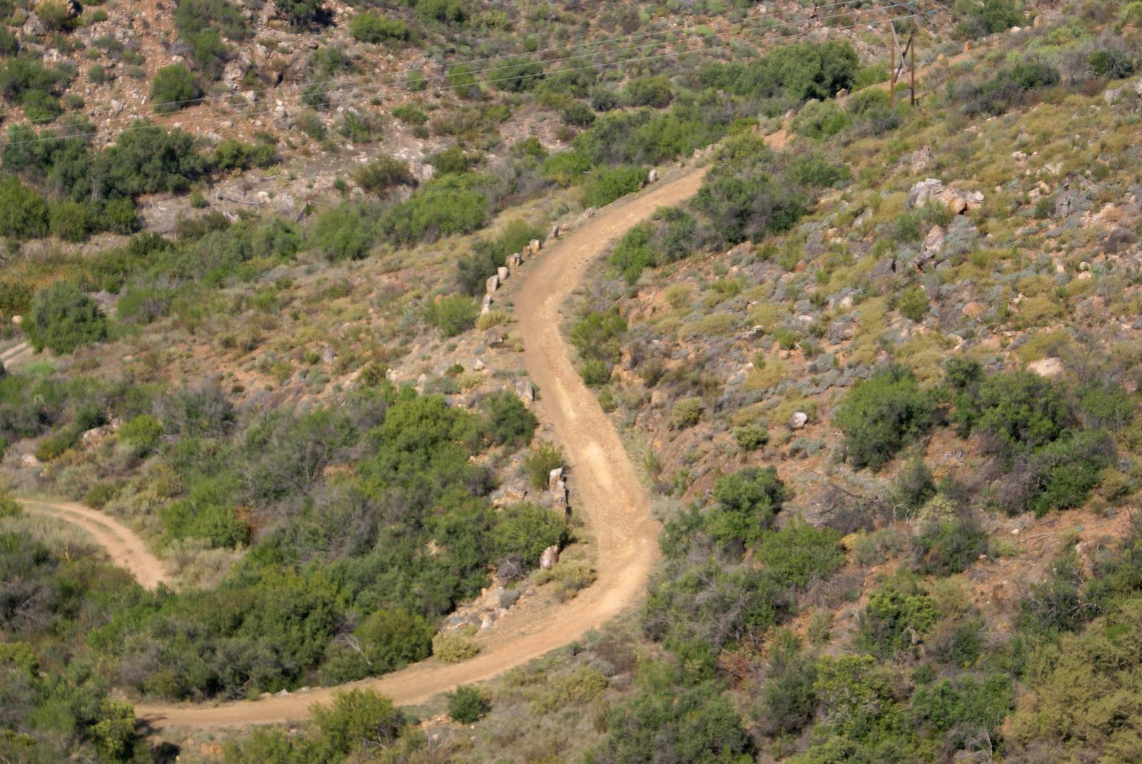
View up modern Piekenierskloof Pass

Views of old Piekenierskloof Pass

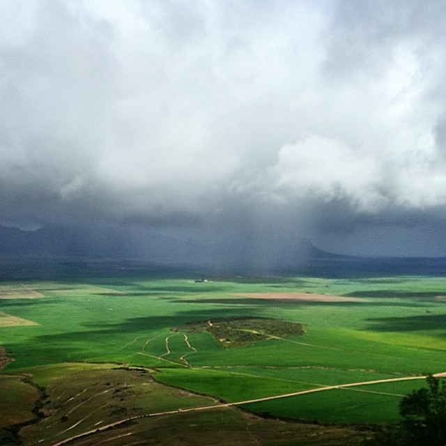
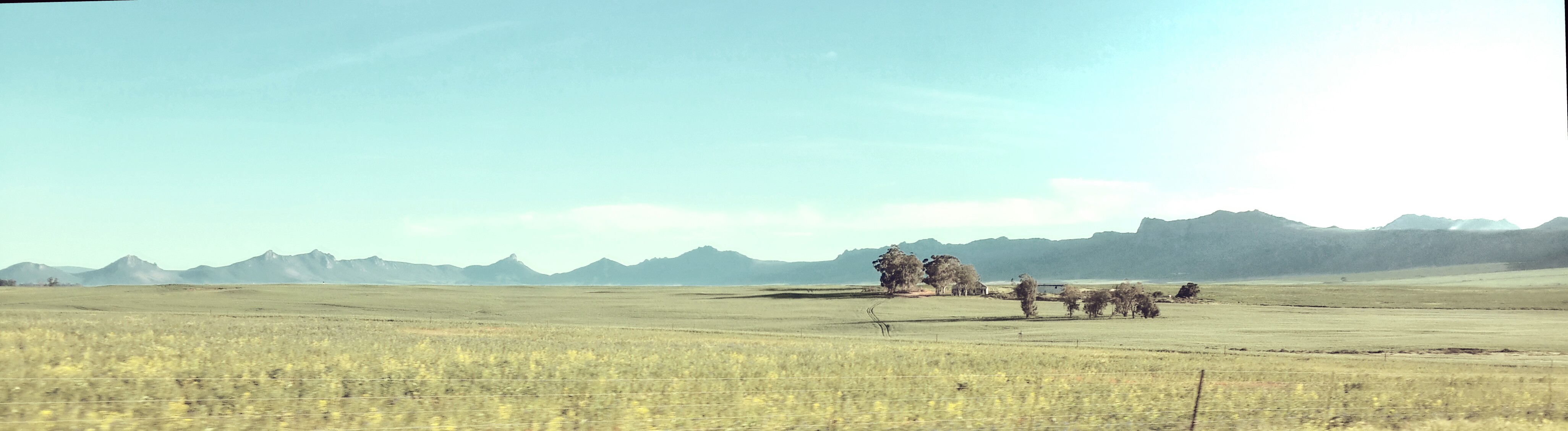
Panorama view from Piekenierskloof Pass

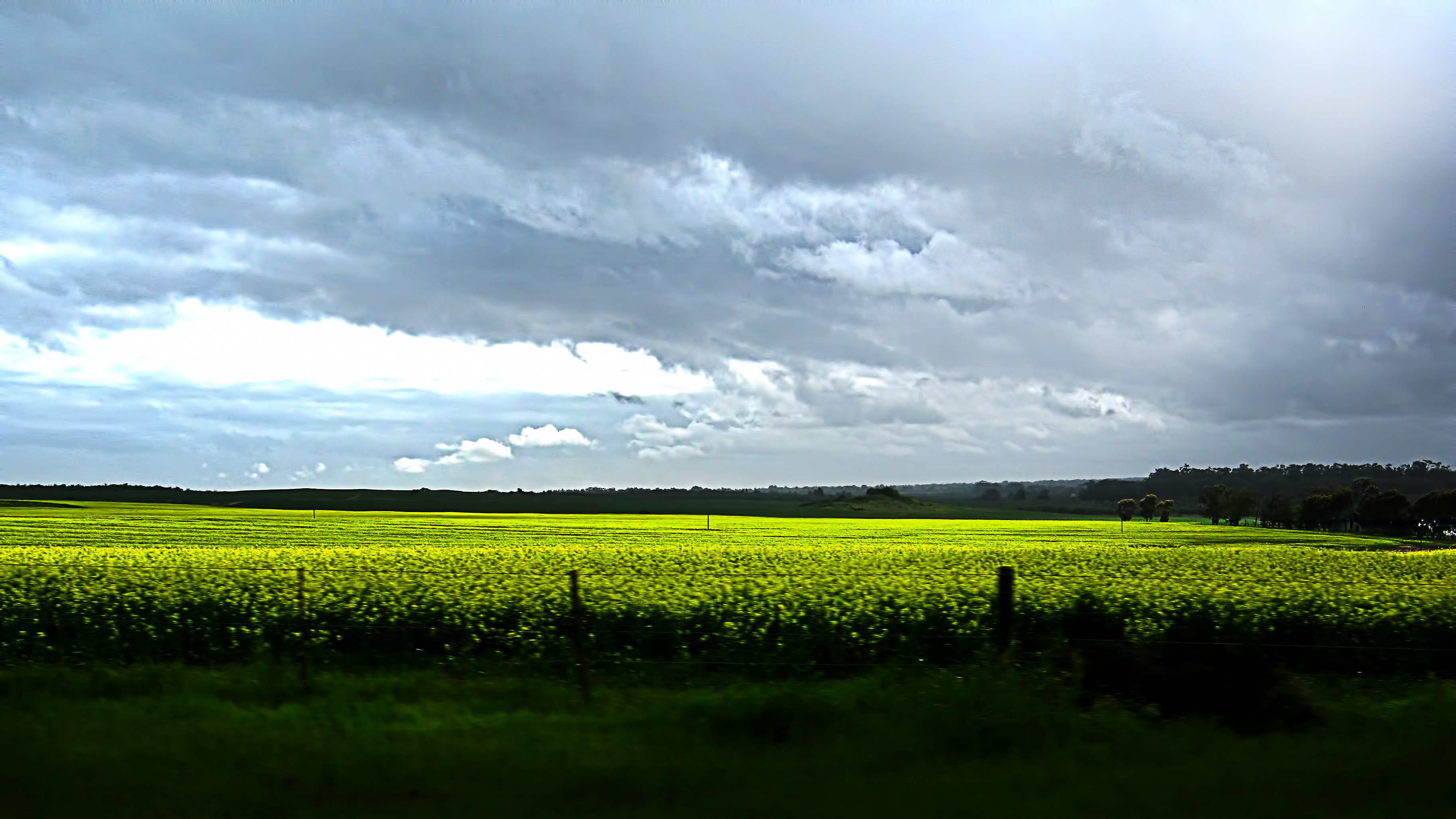
View from Piekenierskloof Pass - Canola Fields blossoming in yellow
Oppad.
Landwirtschaft im Northern Cape

Cederberg paradise

Cederberg sunrise
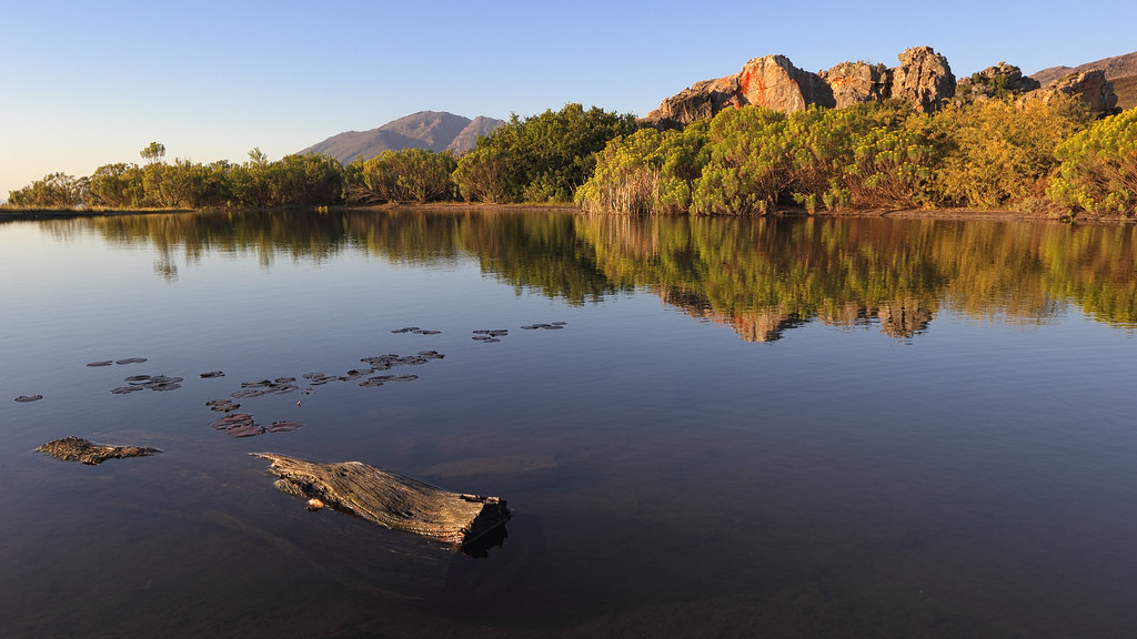
Cederberg reflection
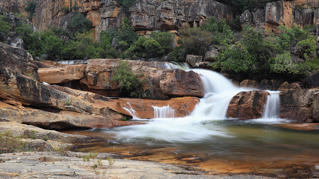
Cederberg waterfall
Western Cape Drive
Canola Field
Citrusdal 5157
Weekend away

Citrasdal 2009-06-24 02-27-21

Uphill II
Topographic Map of Citrusdal, South Africa
Find elevation by address:

Places near Citrusdal, South Africa:
Piekenierskloofpas
Bergendal
Bergrivier Municipality
Aurora
Moorreesburg
Tulbagh
Langgewens Research Farm
Groenrivier Function Centre
1783 Merindal St
Malmesbury
Ceres
Fonteine Village Retirement Complex
Malmesbury Golf Club
Mount Royal Golf & Country Estate
Malmesbury
Marksman's Nest Firearms Training Centre & Shooting Range
Januarieskraal
Fynbos Estate
Kalbaskraal
Dassenberg Drive
Recent Searches:
- Elevation of Corso Fratelli Cairoli, 35, Macerata MC, Italy
- Elevation of Tallevast Rd, Sarasota, FL, USA
- Elevation of 4th St E, Sonoma, CA, USA
- Elevation of Black Hollow Rd, Pennsdale, PA, USA
- Elevation of Oakland Ave, Williamsport, PA, USA
- Elevation of Pedrógão Grande, Portugal
- Elevation of Klee Dr, Martinsburg, WV, USA
- Elevation of Via Roma, Pieranica CR, Italy
- Elevation of Tavkvetili Mountain, Georgia
- Elevation of Hartfords Bluff Cir, Mt Pleasant, SC, USA