Elevation of Cimarron Campground, F R, New Mexico, United States
Location: United States > New Mexico > Colfax County >
Longitude: -105.20496
Latitude: 36.7701454
Elevation: 2890m / 9482feet
Barometric Pressure: 71KPa
Elevation Map:
Satellite Map:
Related Photos:
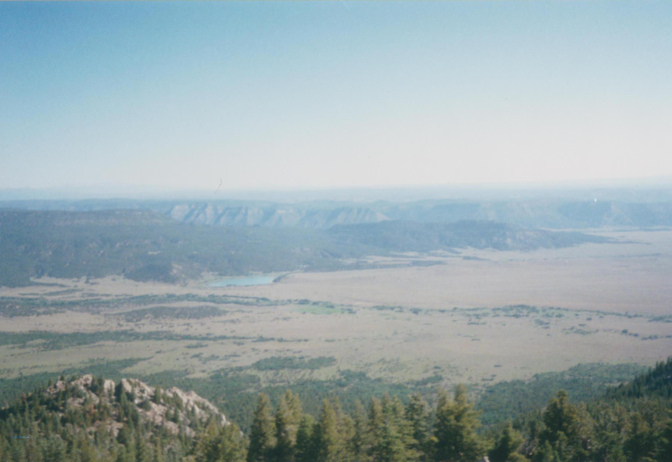
004
Topographic Map of Cimarron Campground, F R, New Mexico, United States
Find elevation by address:

Places near Cimarron Campground, F R, New Mexico, United States:
Ash Mountain South
Little Costilla Peak
Van Diest Peak
The Wall South
Baldy Mountain
Enchanted Forest Cross Country Ski Area
Sangre De Cristo
Greenie Peak
Touch-me-not Mountain
562 Nm-578
Tall Pine Resort
East High Street
44 Valley Of The Pines Rd
Red River
111 Mallette Rd
27 Upper Red River Valley Rd
La Belle Trail
Sawmill Mountain
1501 W Main St
20 Hidden Valley Rd
Recent Searches:
- Elevation of Corso Fratelli Cairoli, 35, Macerata MC, Italy
- Elevation of Tallevast Rd, Sarasota, FL, USA
- Elevation of 4th St E, Sonoma, CA, USA
- Elevation of Black Hollow Rd, Pennsdale, PA, USA
- Elevation of Oakland Ave, Williamsport, PA, USA
- Elevation of Pedrógão Grande, Portugal
- Elevation of Klee Dr, Martinsburg, WV, USA
- Elevation of Via Roma, Pieranica CR, Italy
- Elevation of Tavkvetili Mountain, Georgia
- Elevation of Hartfords Bluff Cir, Mt Pleasant, SC, USA