Elevation of The Wall South, New Mexico, USA
Location: United States > New Mexico > Colfax County >
Longitude: -105.18027
Latitude: 36.8961111
Elevation: 3071m / 10075feet
Barometric Pressure: 69KPa
Elevation Map:
Satellite Map:
Related Photos:
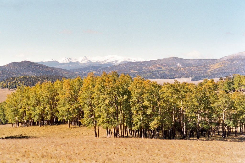
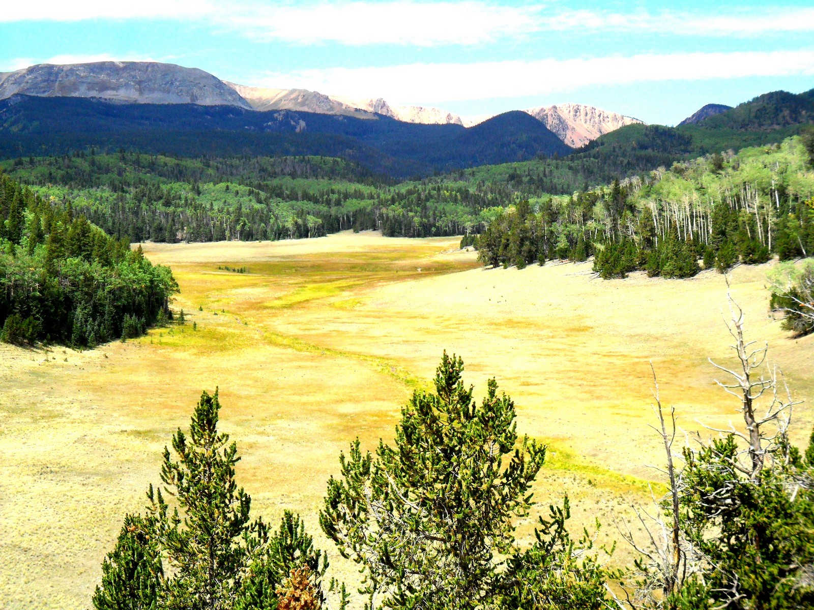
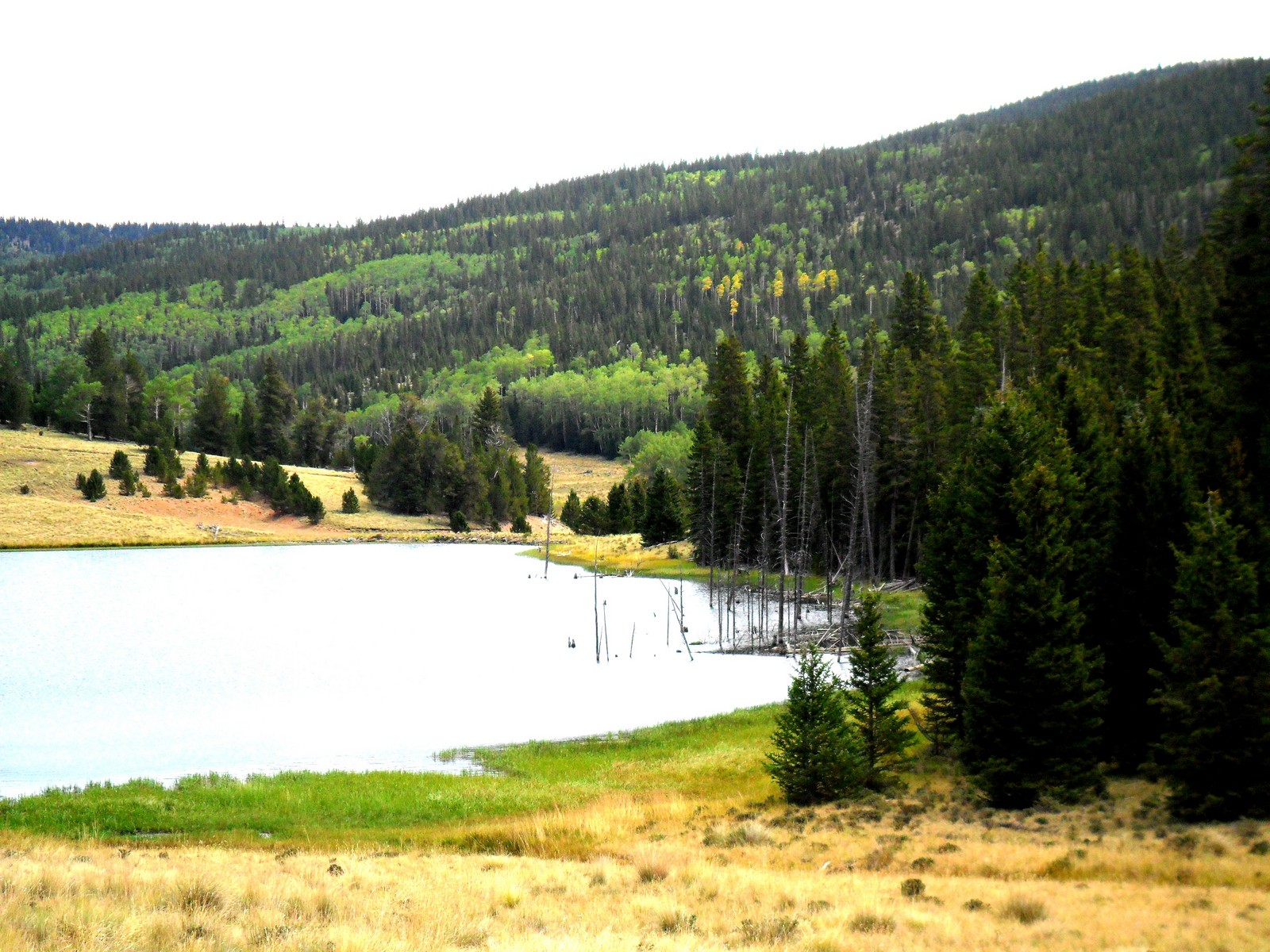
Valle Vidal
Valle Vidal - New Mexico

Valle Vidal - New Mexico

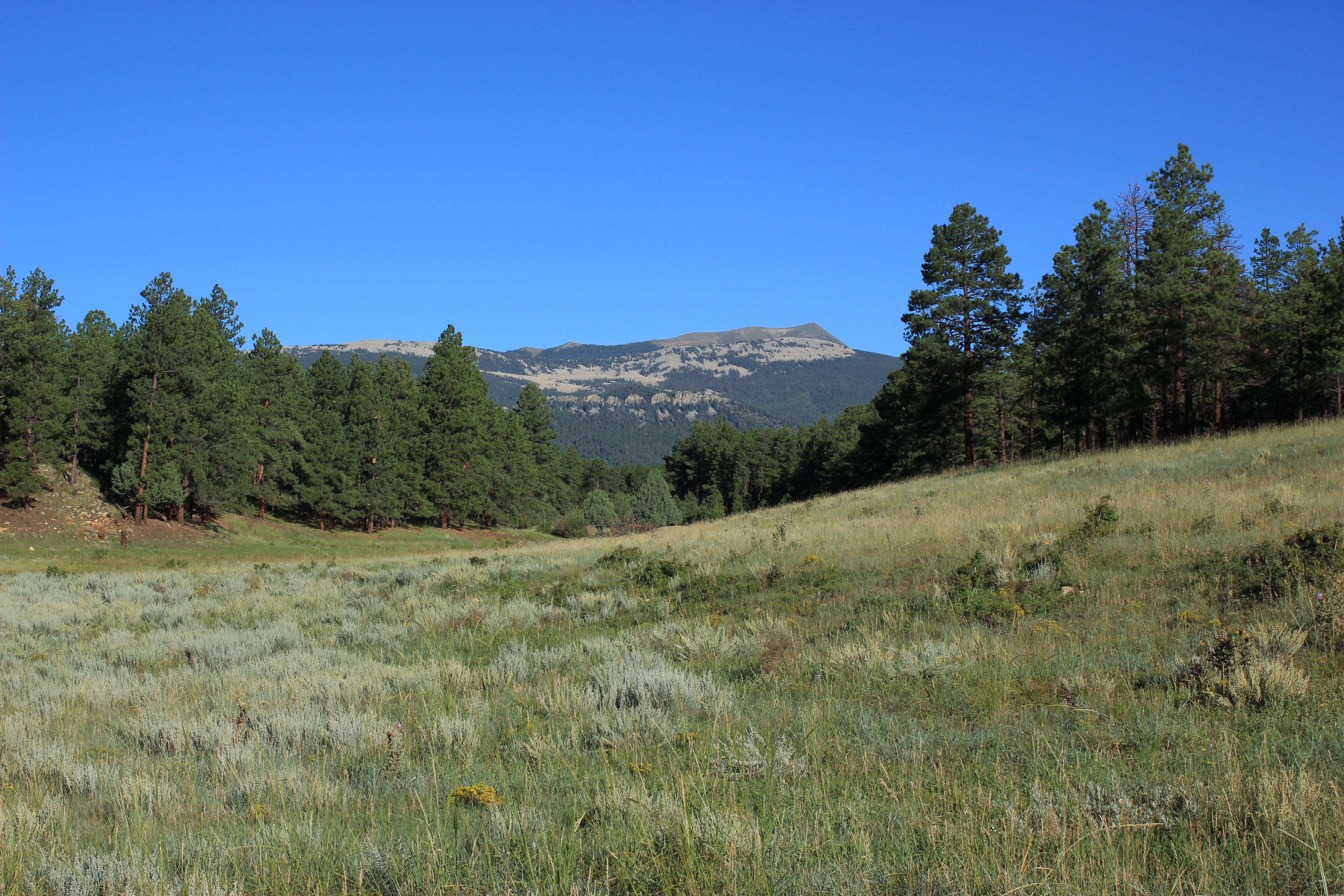
Vermejo Park Ranch in July
Vermejo Park Ranch in July
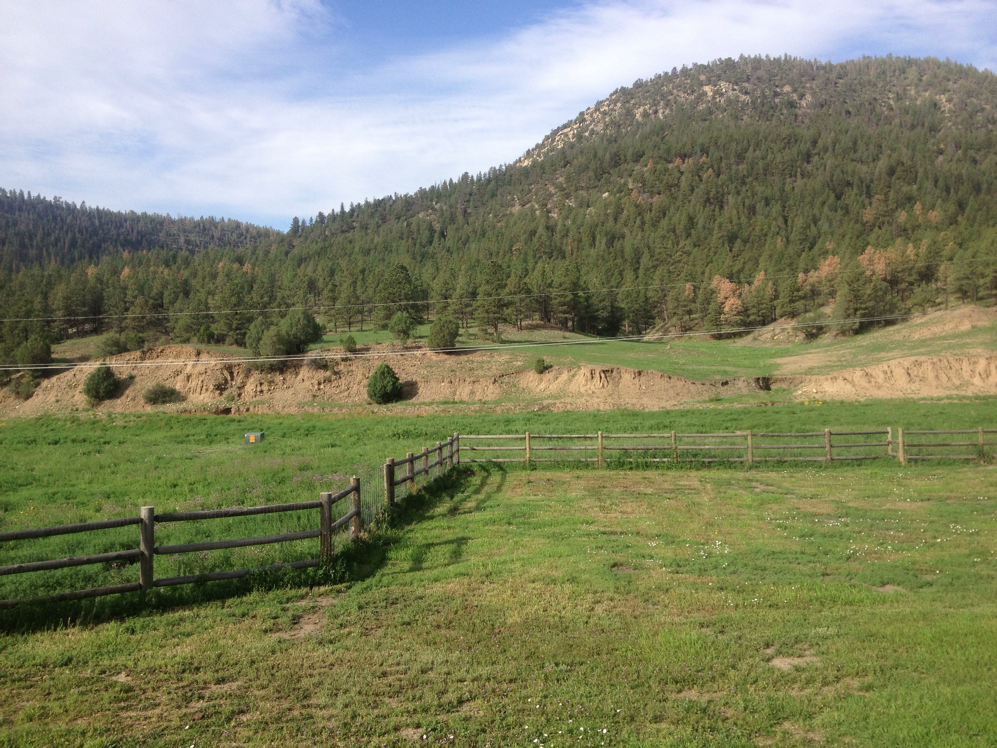
Vermejo Park Ranch
Vermejo Park Ranch

Besökare Samtidigt
Topographic Map of The Wall South, New Mexico, USA
Find elevation by address:

Places near The Wall South, New Mexico, USA:
Little Costilla Peak
Ash Mountain South
Cimarron Campground
State Line Peak
Purgatoire Peak
Van Diest Peak
Sangre De Cristo Mountains
Culebra Peak
Greenie Peak
Sangre De Cristo
Enchanted Forest Cross Country Ski Area
County Road J.2, San Luis, CO, USA
Baldy Mountain
NM-, Amalia, NM, USA
Francisco Peak
6872 Co-12
CO-12, Weston, CO, USA
East High Street
562 Nm-578
Stonewall Gap
Recent Searches:
- Elevation of Corso Fratelli Cairoli, 35, Macerata MC, Italy
- Elevation of Tallevast Rd, Sarasota, FL, USA
- Elevation of 4th St E, Sonoma, CA, USA
- Elevation of Black Hollow Rd, Pennsdale, PA, USA
- Elevation of Oakland Ave, Williamsport, PA, USA
- Elevation of Pedrógão Grande, Portugal
- Elevation of Klee Dr, Martinsburg, WV, USA
- Elevation of Via Roma, Pieranica CR, Italy
- Elevation of Tavkvetili Mountain, Georgia
- Elevation of Hartfords Bluff Cir, Mt Pleasant, SC, USA