Elevation of Sangre De Cristo, New Mexico, USA
Location: United States > New Mexico > Red River >
Longitude: -105.34917
Latitude: 36.7017974
Elevation: -10000m / -32808feet
Barometric Pressure: 295KPa
Elevation Map:
Satellite Map:
Related Photos:

Windblock on Gold Hill

Views toward Mt. Walter, Wheeler Peak, Lake Fork Peak, and Vallecito Mountain

Near the Long Canyon Junction

Views to the Taos Ski Valley

Views from our room - hard to believe I'm still in New Mexico

View from the middle - I'm not yet a good enough skier to be at the top ;)
Views along the Long Canyon Trail

Views from our room - hard to believe I'm still in New Mexico

Views from our room - hard to believe I'm still in New Mexico

Views East

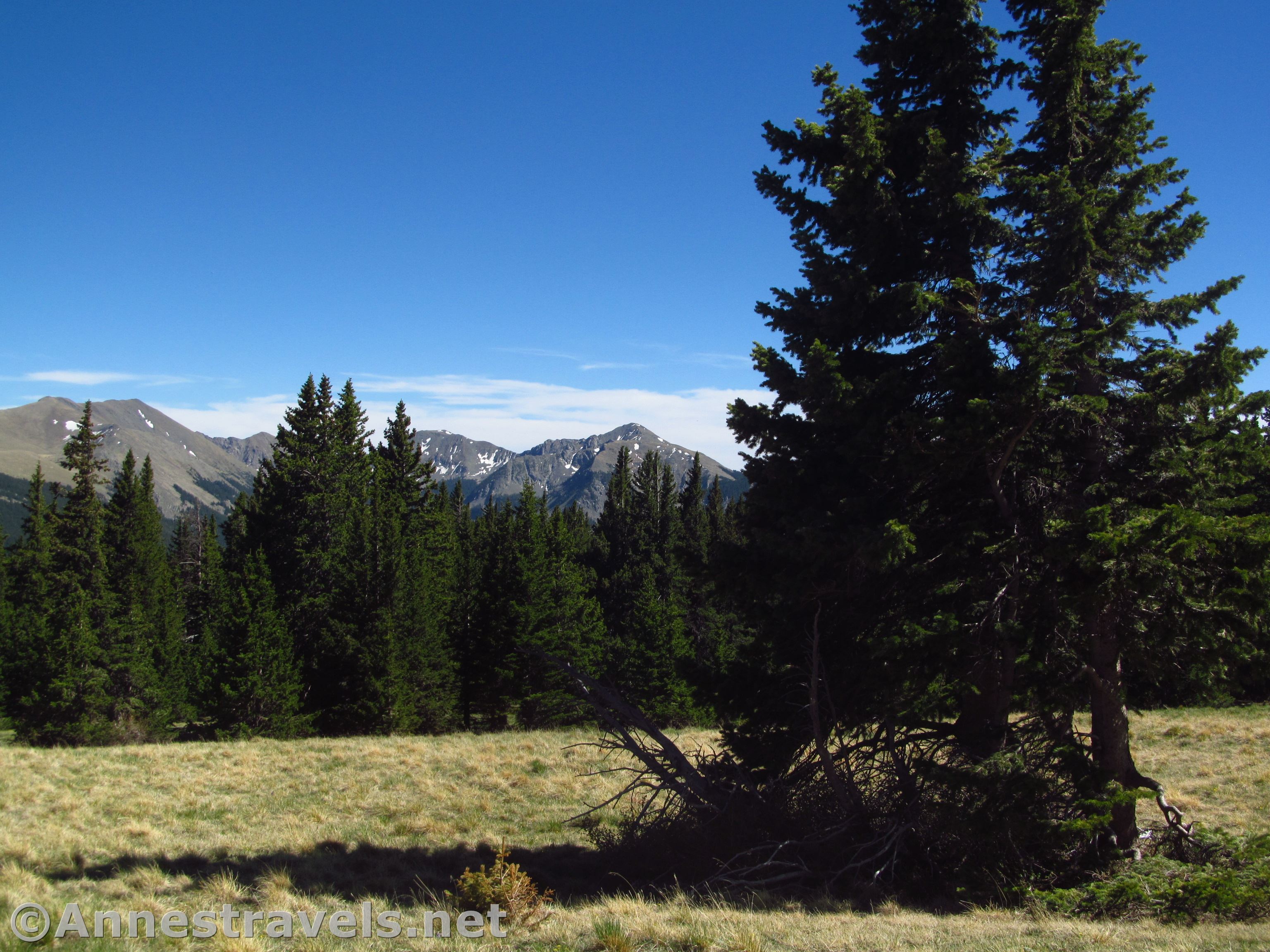
Views North from Gold Hill

Red River, New Mexico

Eagle Nest New Mexico. C Diamond C Ranch

Red River Rush

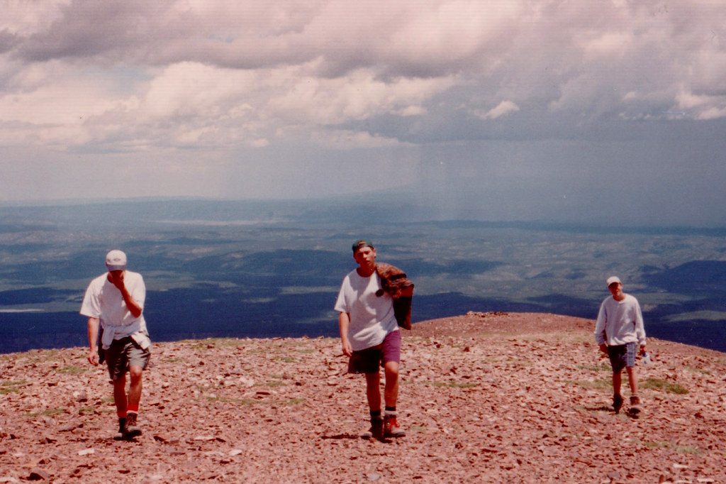
View from 10,000 feet

View from Baldy
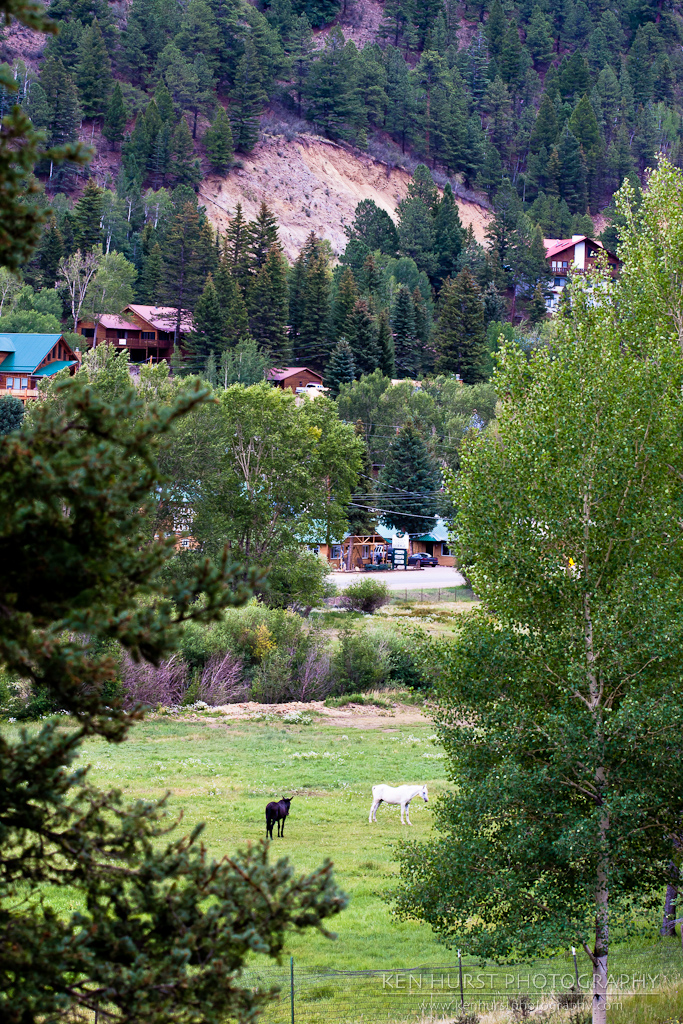
Pastoral New Mexico

Main lift at Red River Ski area.

View from the top

The view from Lifts West in Red River

Carson National Forest, New Mexico

Down by the river...

Snow On Comanche Creek
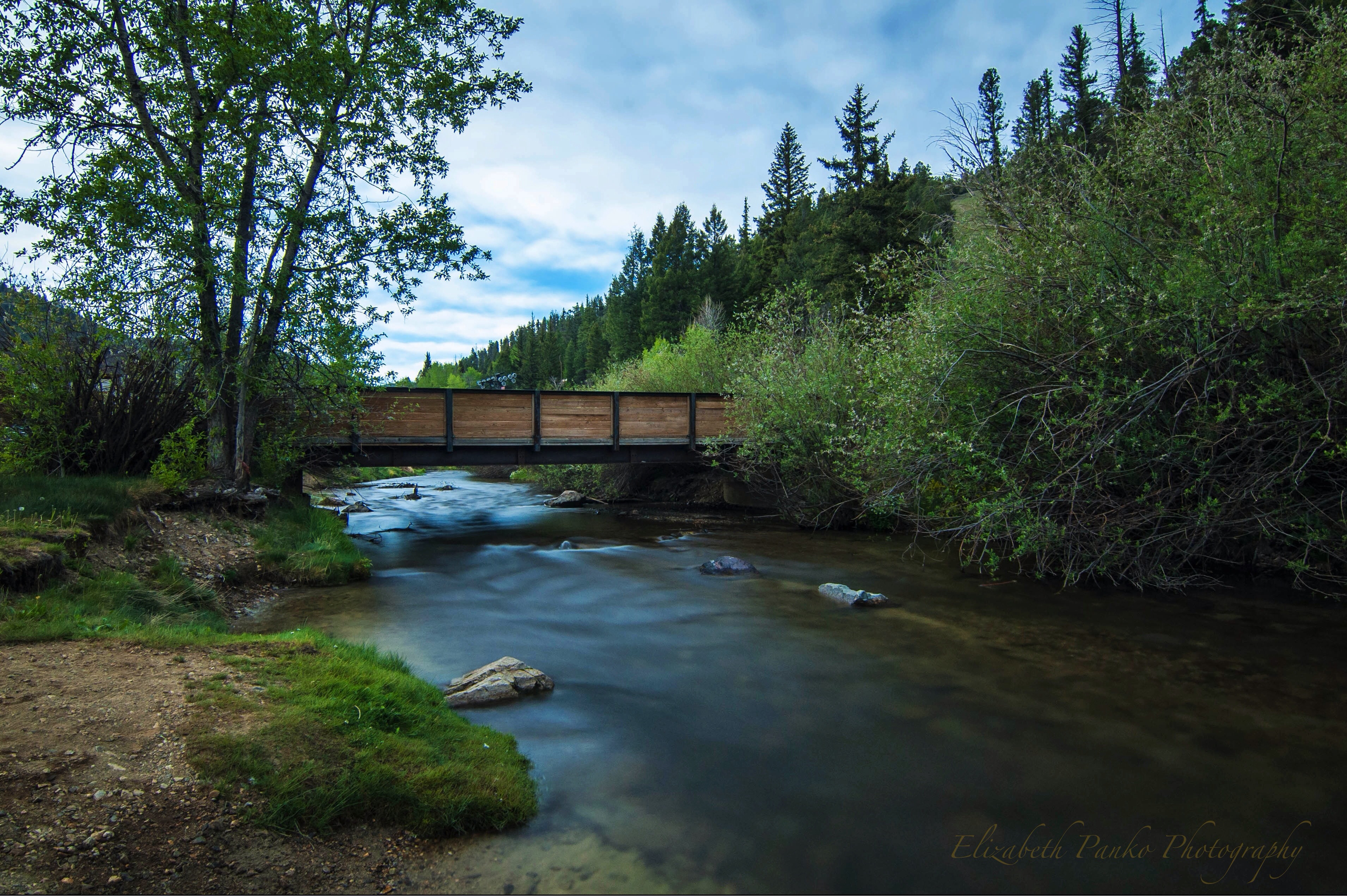
Down by the River...
Taos Ski Valley

The Tracks Go Off In This Direction

Sulphur Gulch
12640, 96
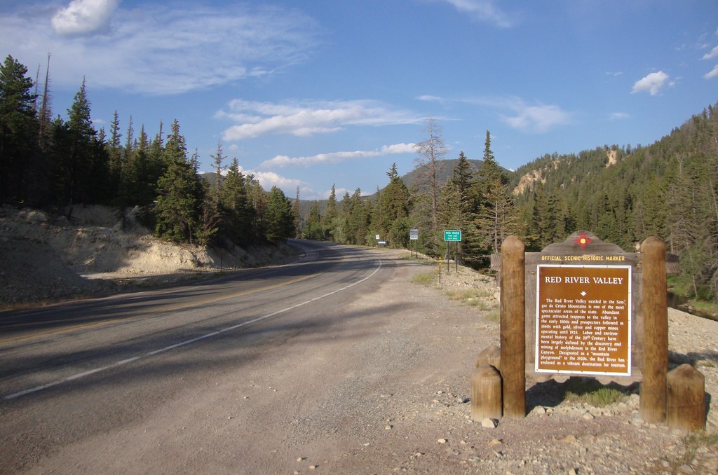
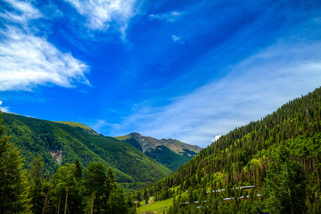
Entering The Red River Valley (Red River, New Mexico)

Eagle Nest Reservoir
Snow in Taos Ski Valley

Cimarron Country

Wheeler Peak

Aspens - Red River, NM

Too Fast

Frozen Stream

Snow Capped in Red River New Mexico

Red River New Mexico.

Rio Hondo: Taos Ski Valley, New Mexico (NM)
Topographic Map of Sangre De Cristo, New Mexico, USA
Find elevation by address:

Places near Sangre De Cristo, New Mexico, USA:
Enchanted Forest Cross Country Ski Area
562 Nm-578
Tall Pine Resort
44 Valley Of The Pines Rd
East High Street
Red River
111 Mallette Rd
27 Upper Red River Valley Rd
La Belle Trail
1501 W Main St
Sawmill Mountain
Goose Lake Road
20 Hidden Valley Rd
20 Hidden Valley Rd
20 Hidden Valley Rd
20 Hidden Valley Rd
20 Hidden Valley Rd
Relica Peak
Goose Lake
Gold Hill
Recent Searches:
- Elevation of Corso Fratelli Cairoli, 35, Macerata MC, Italy
- Elevation of Tallevast Rd, Sarasota, FL, USA
- Elevation of 4th St E, Sonoma, CA, USA
- Elevation of Black Hollow Rd, Pennsdale, PA, USA
- Elevation of Oakland Ave, Williamsport, PA, USA
- Elevation of Pedrógão Grande, Portugal
- Elevation of Klee Dr, Martinsburg, WV, USA
- Elevation of Via Roma, Pieranica CR, Italy
- Elevation of Tavkvetili Mountain, Georgia
- Elevation of Hartfords Bluff Cir, Mt Pleasant, SC, USA