Elevation of Touch-Me-Not Mountain, New Mexico, USA
Location: United States > New Mexico > Colfax County > Cimarron >
Longitude: -105.19917
Latitude: 36.5808658
Elevation: 3649m / 11972feet
Barometric Pressure: 64KPa
Elevation Map:
Satellite Map:
Related Photos:
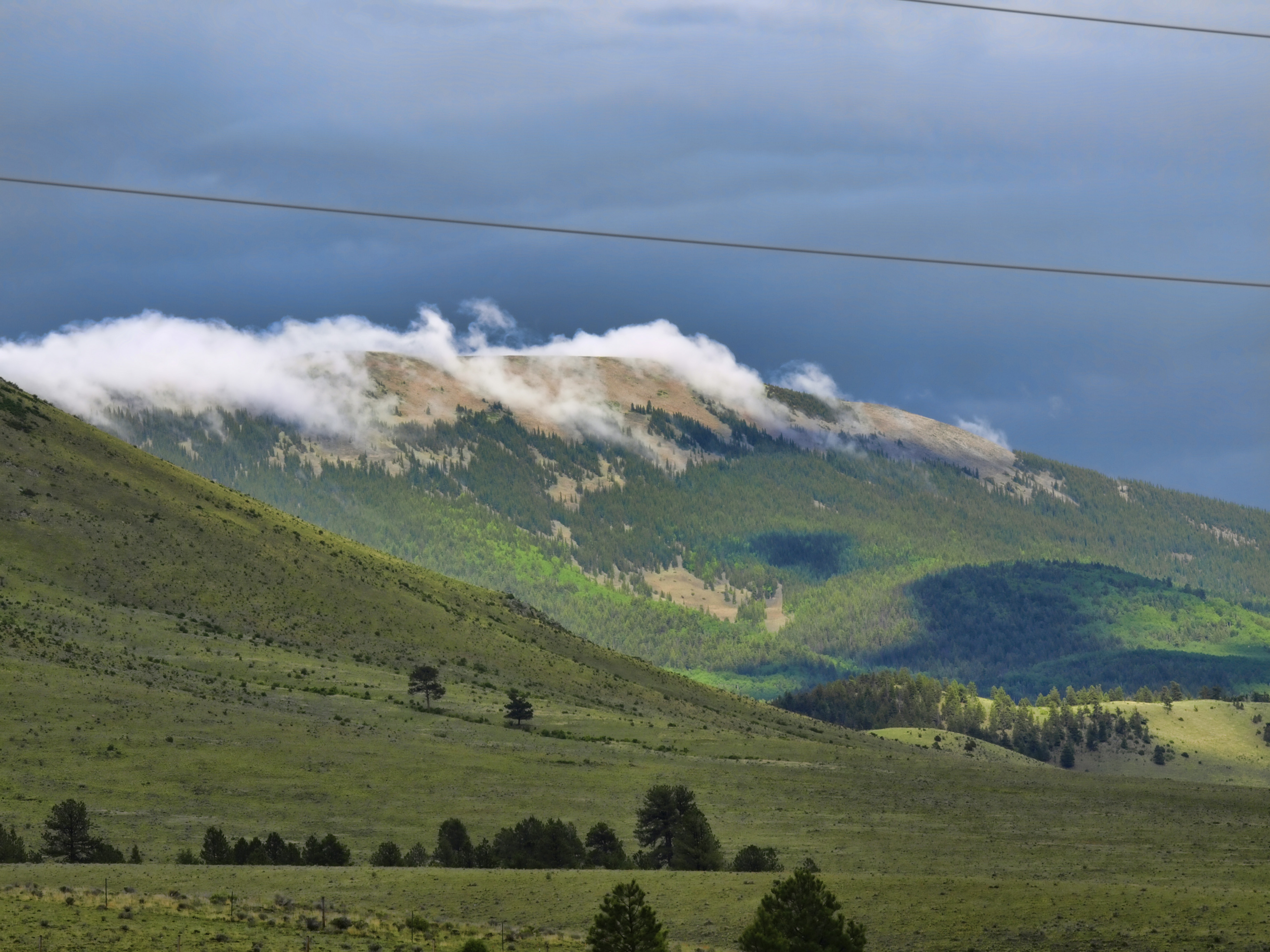
Eagle Nest New Mexico. C Diamond C Ranch
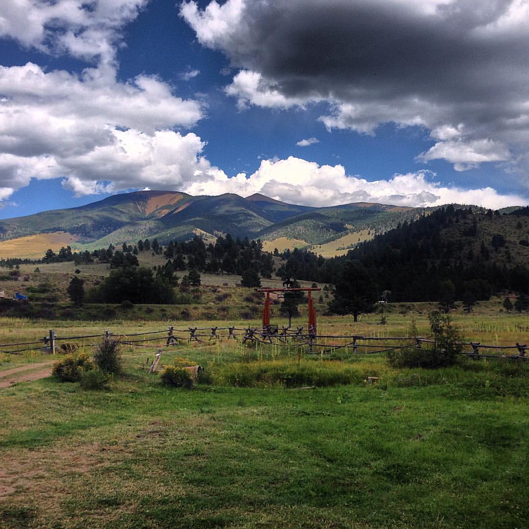
Great view from the cabin! #MenoftheMountain #redrivernm
Topographic Map of Touch-Me-Not Mountain, New Mexico, USA
Find elevation by address:

Places near Touch-Me-Not Mountain, New Mexico, USA:
Baldy Mountain
Enchanted Forest Cross Country Ski Area
Sangre De Cristo
27 Upper Red River Valley Rd
20 Hidden Valley Rd
20 Hidden Valley Rd
20 Hidden Valley Rd
20 Hidden Valley Rd
20 Hidden Valley Rd
44 Valley Of The Pines Rd
Tall Pine Resort
Relica Peak
562 Nm-578
East High Street
Wheeler Peak Condominiums
Red River
Upper Twining Road
Goose Lake Road
37 Twining Rd
111 Mallette Rd
Recent Searches:
- Elevation of Corso Fratelli Cairoli, 35, Macerata MC, Italy
- Elevation of Tallevast Rd, Sarasota, FL, USA
- Elevation of 4th St E, Sonoma, CA, USA
- Elevation of Black Hollow Rd, Pennsdale, PA, USA
- Elevation of Oakland Ave, Williamsport, PA, USA
- Elevation of Pedrógão Grande, Portugal
- Elevation of Klee Dr, Martinsburg, WV, USA
- Elevation of Via Roma, Pieranica CR, Italy
- Elevation of Tavkvetili Mountain, Georgia
- Elevation of Hartfords Bluff Cir, Mt Pleasant, SC, USA