Elevation of Chuye, Maharashtra, India
Location: India > Maharashtra > Kolhapur >
Longitude: 74.1731718
Latitude: 16.5323489
Elevation: 557m / 1827feet
Barometric Pressure: 95KPa
Elevation Map:
Satellite Map:
Related Photos:

It has sunk

कणेरी मठ, पेठचा गणपती, जोतिबा, नरसोबाची वाडी, महालक्ष्मी कोल्हापूर.

कणेरी मठ, पेठचा गणपती, जोतिबा, नरसोबाची वाडी, महालक्ष्मी कोल्हापूर.
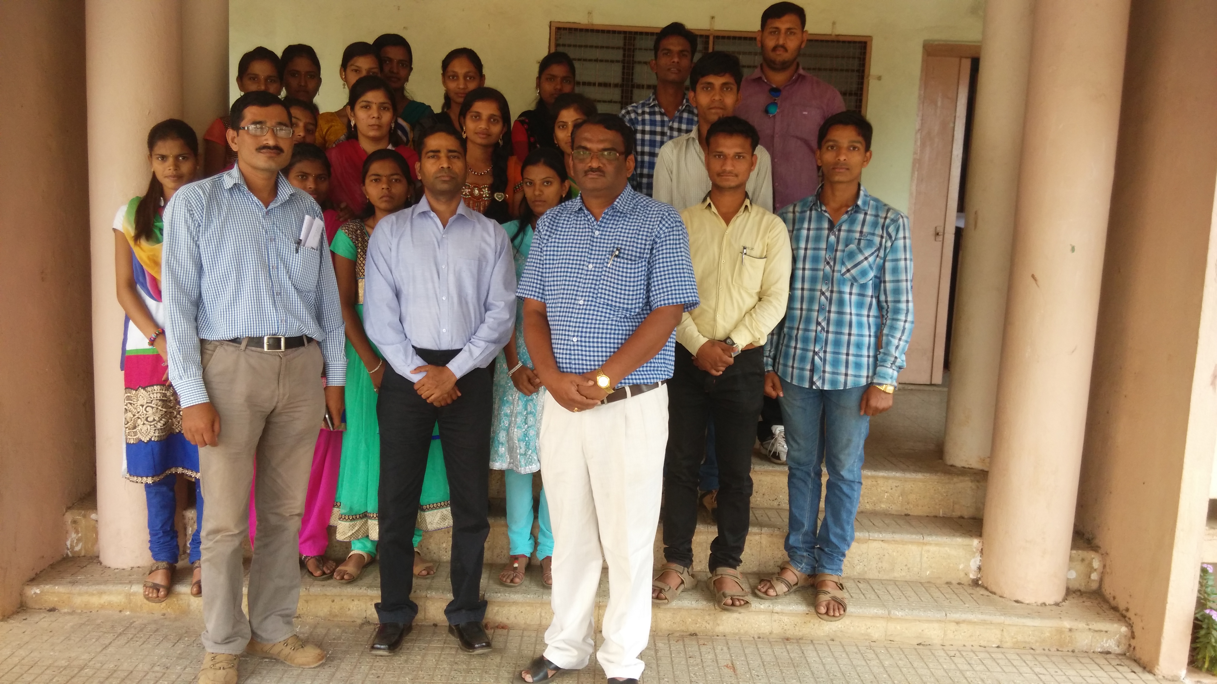
Lecture on National Science Day at Bidri, kagal, Kolhapur for Sr. & Jr college student & teachers. All Lectures since 26-02-2016 are organised by Marathi Vidnyan Parishad, Gadhinglaj

Lecture on National Science Day at Bidri, kagal, Kolhapur for Sr. & Jr college student & teachers. All Lectures since 26-02-2016 are organised by Marathi Vidnyan Parishad, Gadhinglaj

Lecture on National Science Day at Bidri, kagal, Kolhapur for Sr. & Jr college student & teachers. All Lectures since 26-02-2016 are organised by Marathi Vidnyan Parishad, Gadhinglaj
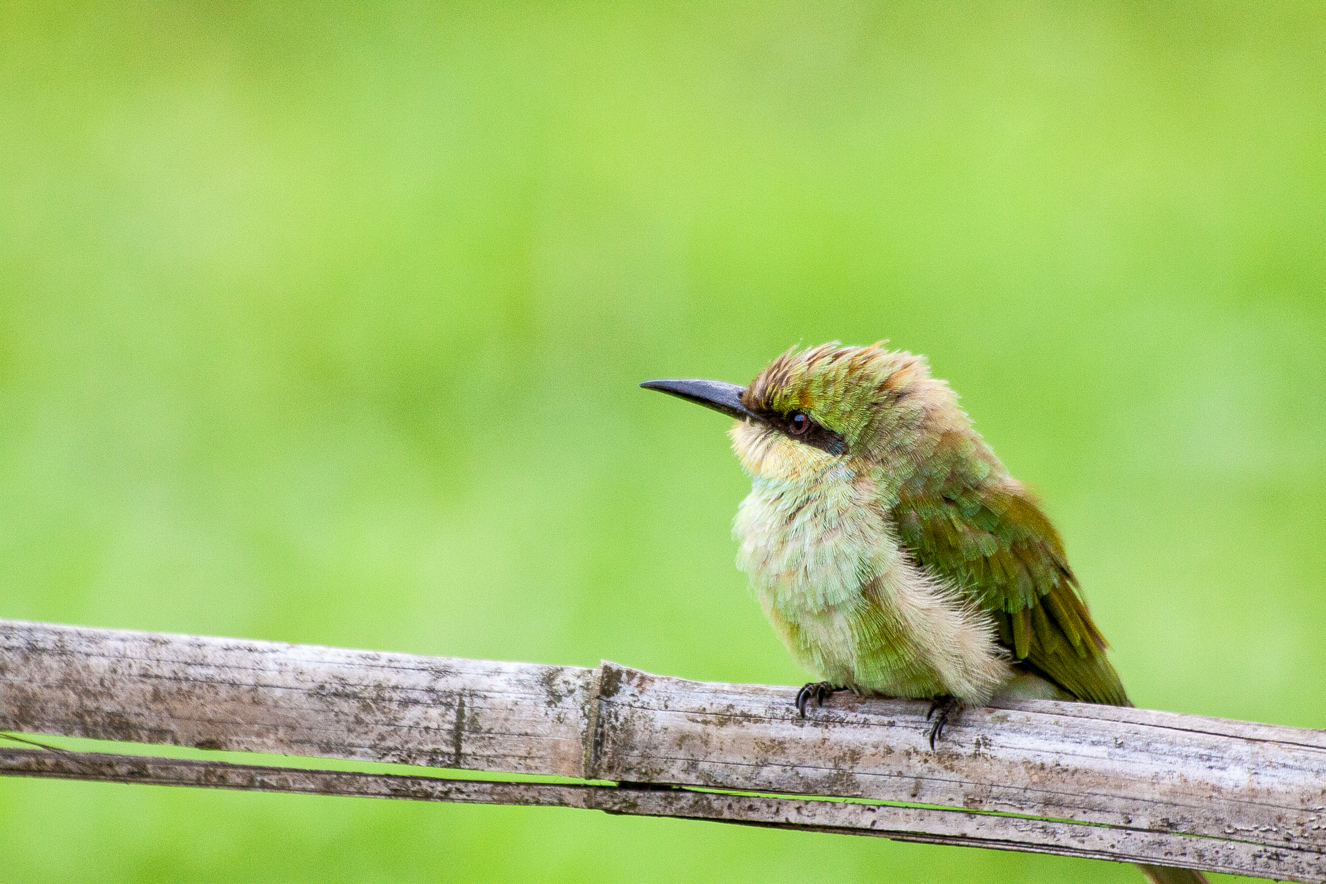
Little Bee Eater/ येडा राघू

Btwin Rockrider 5.0

Superb Indian highways.

Poop Shoot!

Hotel Cook
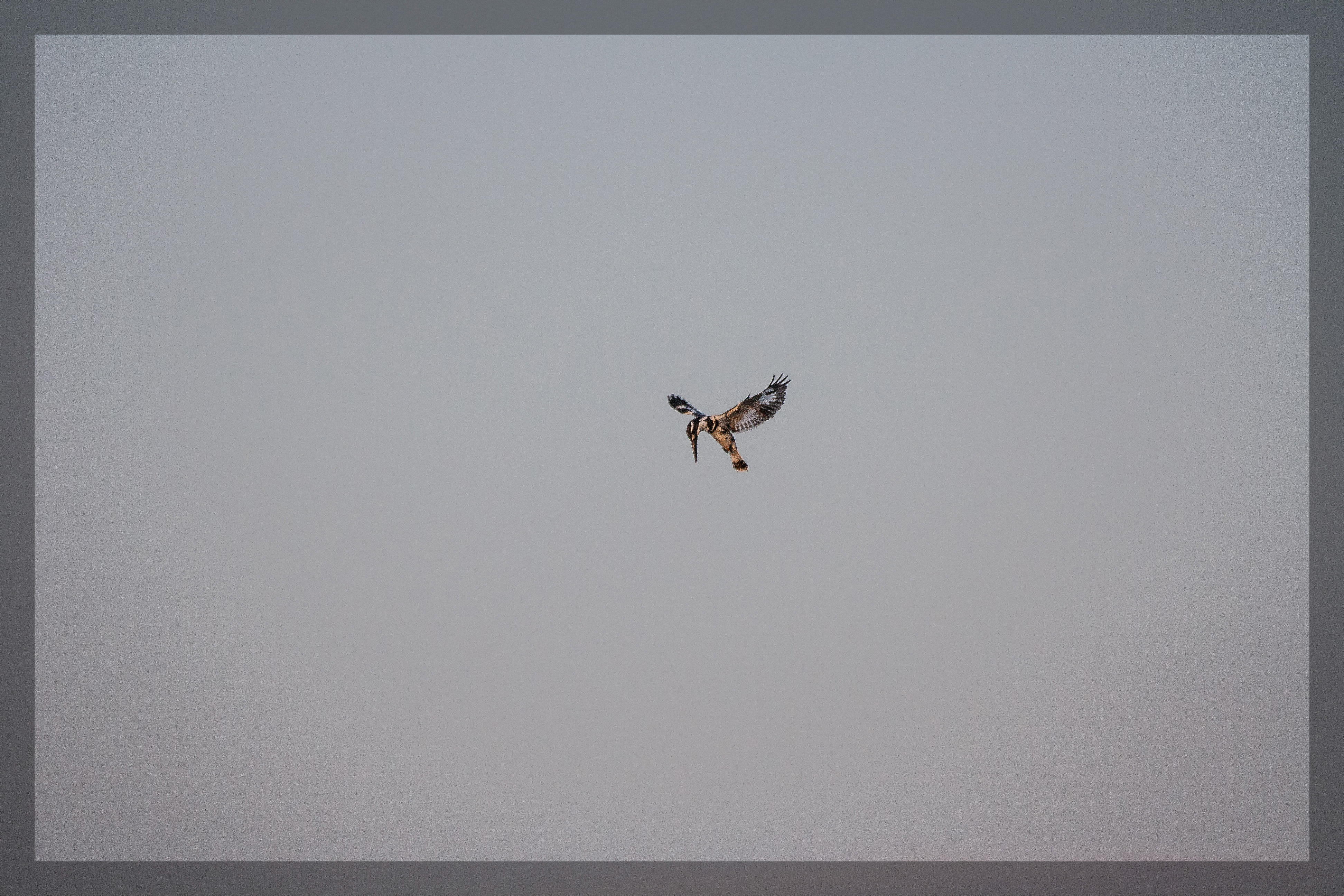
Hovering Pied Kingfisher

India: Neha and Her Mom

India Temple Stall

India Temple Stall

Making Flat Bread India

Papaya Tree India

Digging in

the village river
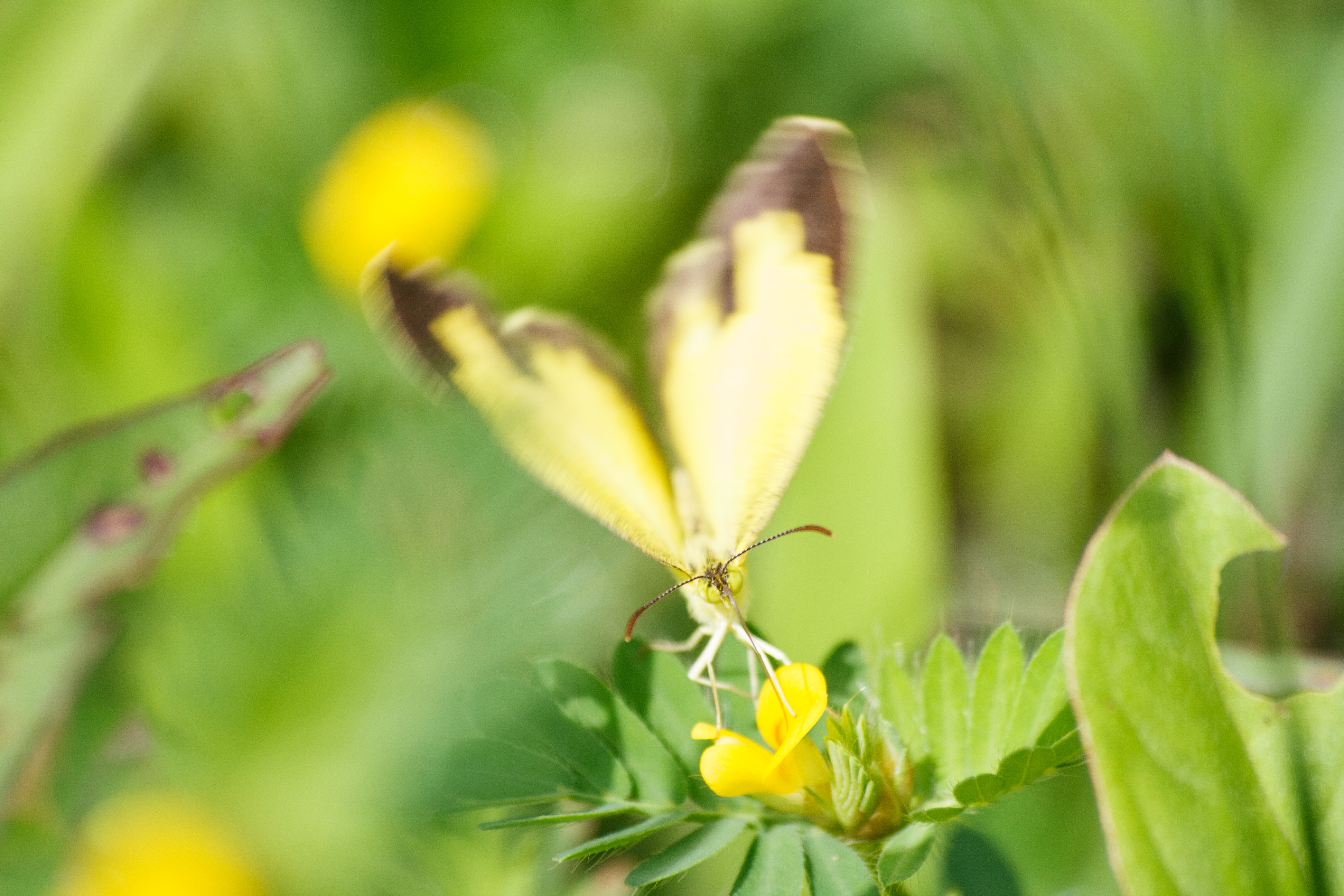
Butterfly effect

Suruwant :P

Kolhapur-Panji
Topographic Map of Chuye, Maharashtra, India
Find elevation by address:

Places near Chuye, Maharashtra, India:
Yevati
Mhalunge
Bele
Parite
Kurukali
Kothali
Haldi
Kolhapur
Hirawade Khalasa
Rashiwade Bk.
Sadoli Khalsa
Ghotavade
Kandgaon
Hirawade Dumala
Karbharwadi
Bachani
Dhangarwadi
Gadegondwadi
Kodawade
Sadoli Dumala
Recent Searches:
- Elevation of Corso Fratelli Cairoli, 35, Macerata MC, Italy
- Elevation of Tallevast Rd, Sarasota, FL, USA
- Elevation of 4th St E, Sonoma, CA, USA
- Elevation of Black Hollow Rd, Pennsdale, PA, USA
- Elevation of Oakland Ave, Williamsport, PA, USA
- Elevation of Pedrógão Grande, Portugal
- Elevation of Klee Dr, Martinsburg, WV, USA
- Elevation of Via Roma, Pieranica CR, Italy
- Elevation of Tavkvetili Mountain, Georgia
- Elevation of Hartfords Bluff Cir, Mt Pleasant, SC, USA