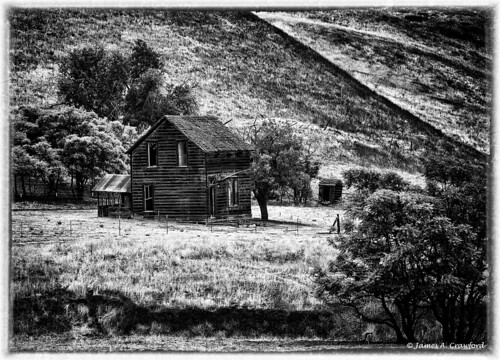
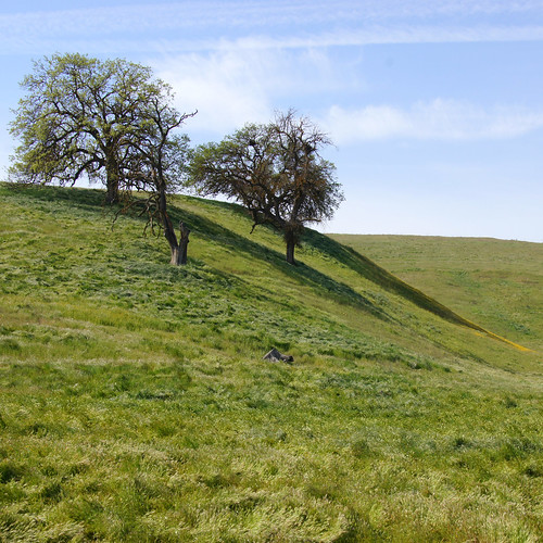
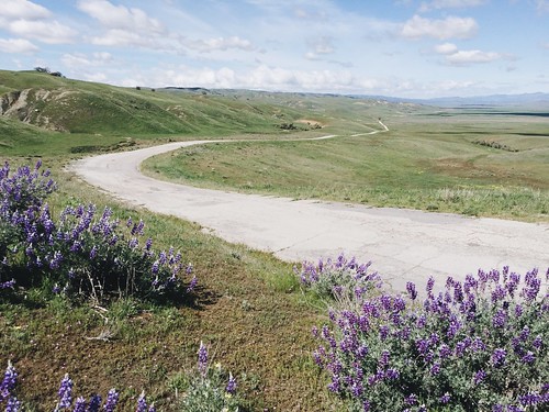
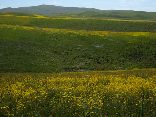
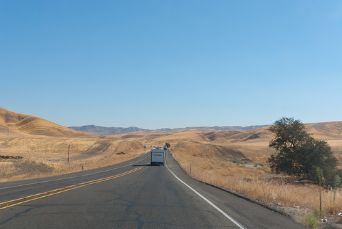
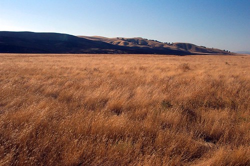
Elevation of Cholame, CA, USA
Location: United States > California > San Luis Obispo County > Shandon >
Longitude: -120.29653
Latitude: 35.7238556
Elevation: 355m / 1165feet
Barometric Pressure: 97KPa
Related Photos:
Topographic Map of Cholame, CA, USA
Find elevation by address:

Places near Cholame, CA, USA:
CA-46, Shandon, CA, USA
3160 Gillis Cyn Rd
Shandon
E Centre St, Shandon, CA, USA
2 Annette Rd, Shandon, CA, USA
3030 Cammatti Shandon Rd
Turkey Flat Rd, San Miguel, CA, USA
California 46
Shell Creek Road
Ross Dr, Paso Robles, CA, USA
CA-46, Lost Hills, CA, USA
3510 Yosemite Pl
5205 Estrella Rd
76275 Ranchita Ave
4185 N Ryan Rd
5864 Iron Gate Rd
CA-33, Kettleman City, CA, USA
Creston
Webster Rd, Creston, CA, USA
835 Cripple Creek Rd
Recent Searches:
- Elevation of Corso Fratelli Cairoli, 35, Macerata MC, Italy
- Elevation of Tallevast Rd, Sarasota, FL, USA
- Elevation of 4th St E, Sonoma, CA, USA
- Elevation of Black Hollow Rd, Pennsdale, PA, USA
- Elevation of Oakland Ave, Williamsport, PA, USA
- Elevation of Pedrógão Grande, Portugal
- Elevation of Klee Dr, Martinsburg, WV, USA
- Elevation of Via Roma, Pieranica CR, Italy
- Elevation of Tavkvetili Mountain, Georgia
- Elevation of Hartfords Bluff Cir, Mt Pleasant, SC, USA
