Elevation of 2 Annette Rd, Shandon, CA, USA
Location: United States > California > Kern County >
Longitude: -120.17884
Latitude: 35.6505527
Elevation: 672m / 2205feet
Barometric Pressure: 94KPa
Elevation Map:
Satellite Map:
Related Photos:

Aerial Views - Bitterwater Road

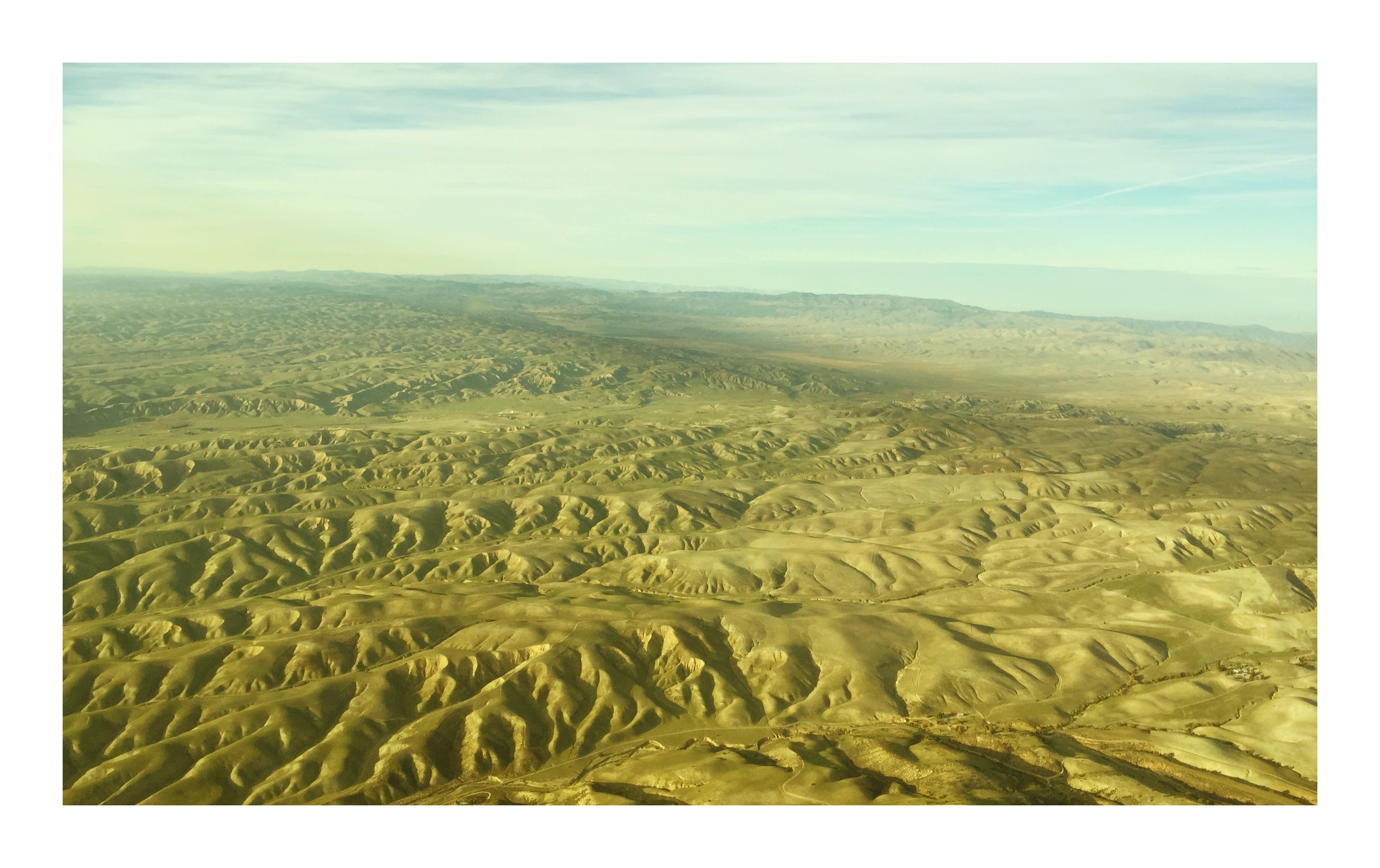
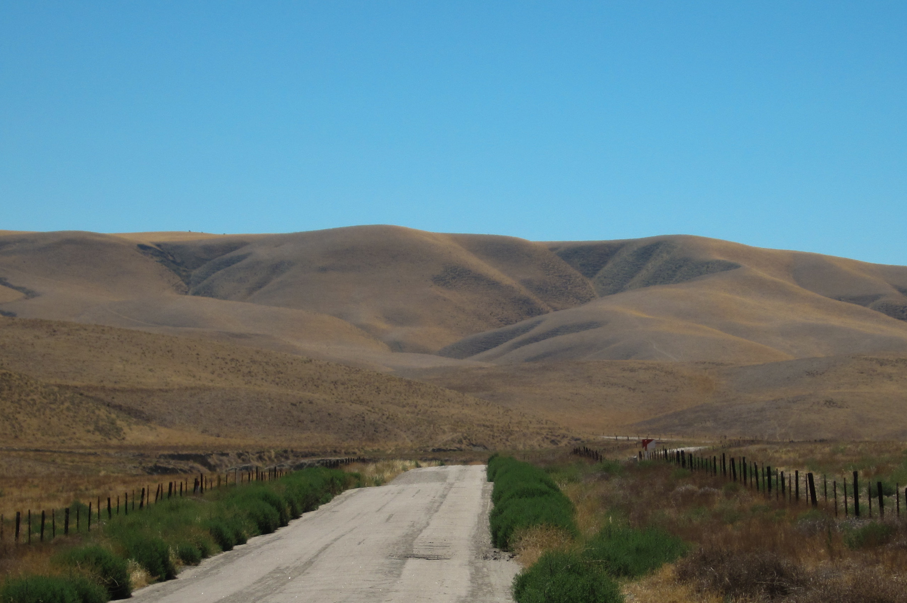
Aerial view of the San Andreas Fault and Annette Road, San Luis Obispo County, California

Shadow play

Lost Hills
Heading to Paso Robles
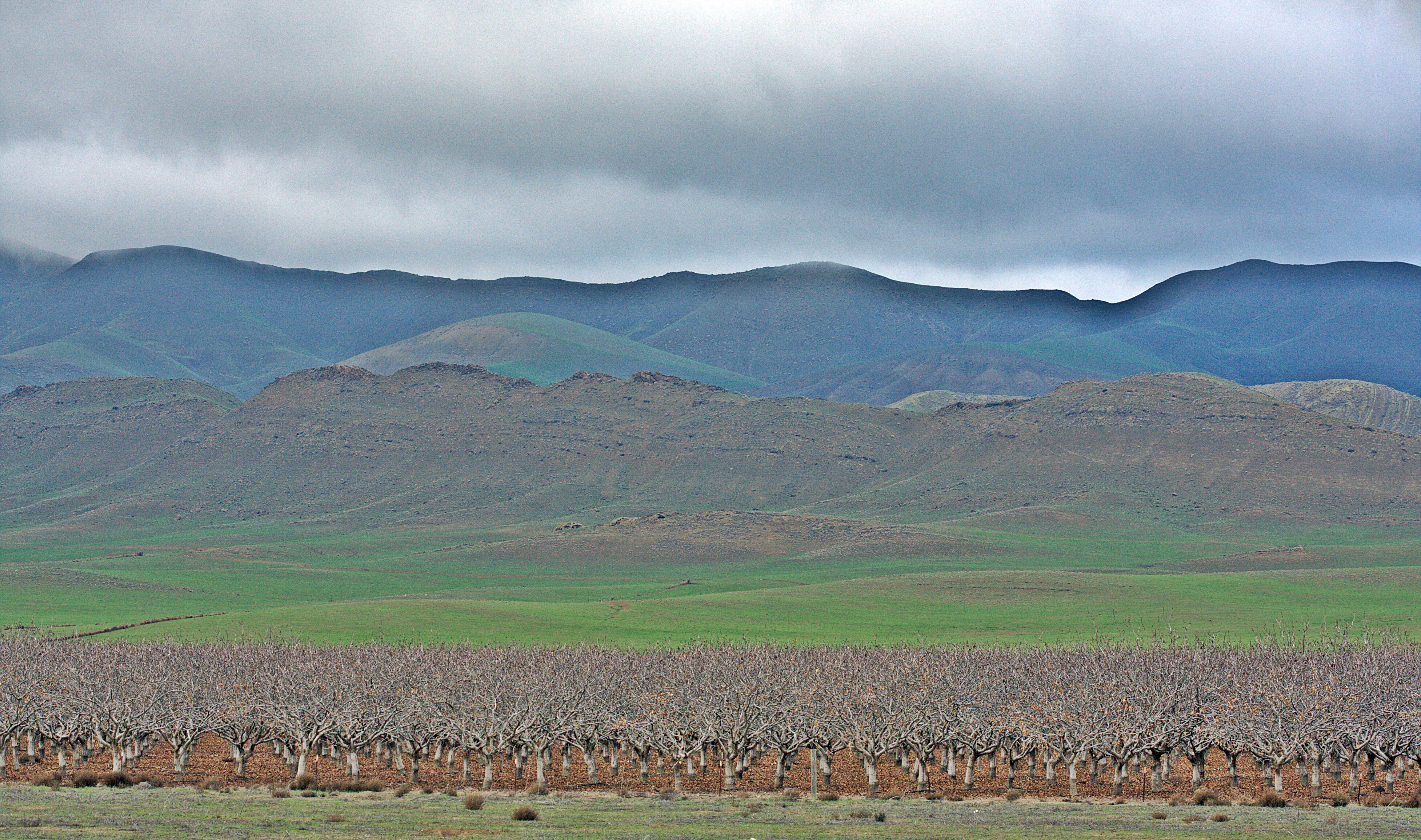
Almond Trees

James Dean's Last Ride

Curve Study

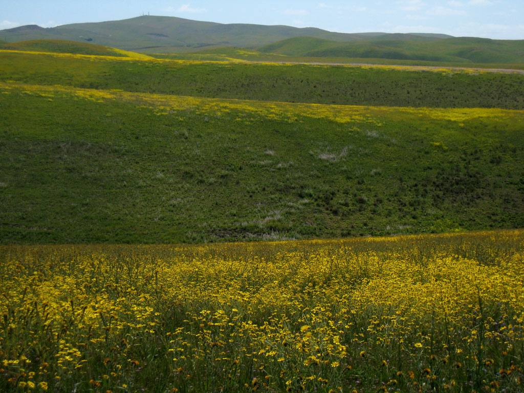
Moonrise Flowers
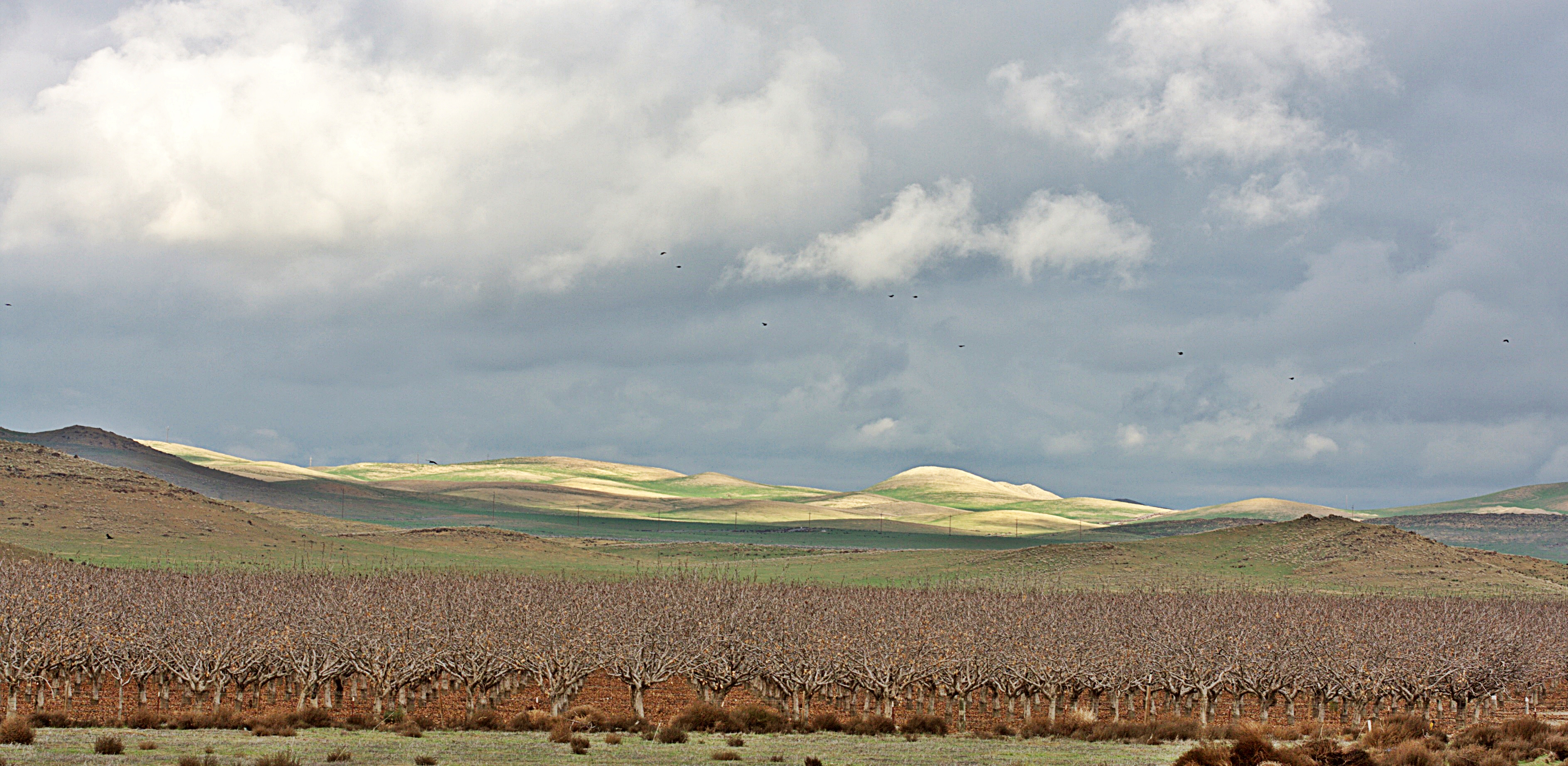
Almonds, Lost Hills, California.
Long Way Home
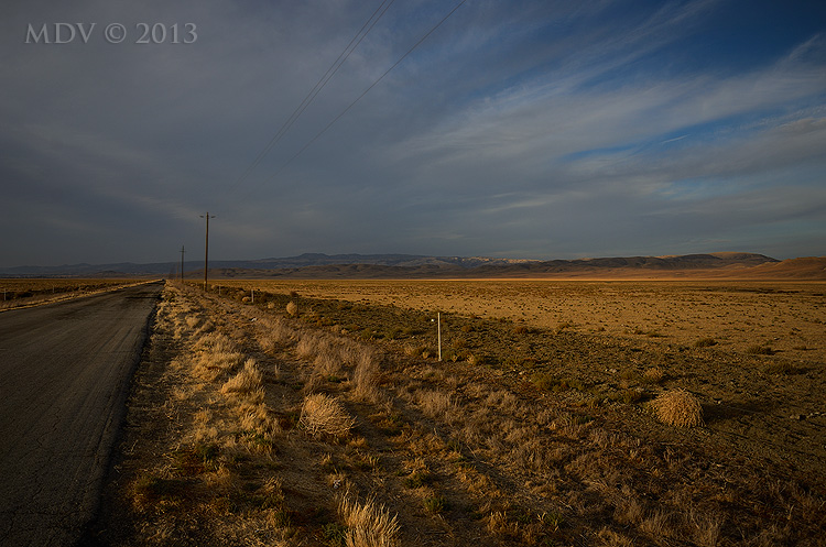
Bitterwater Valley (3507)

Along Highway 46

Tree Ridge
2008033016.jpg
Shell Creek Road a week later

San Andreas fault
2008033015.jpg
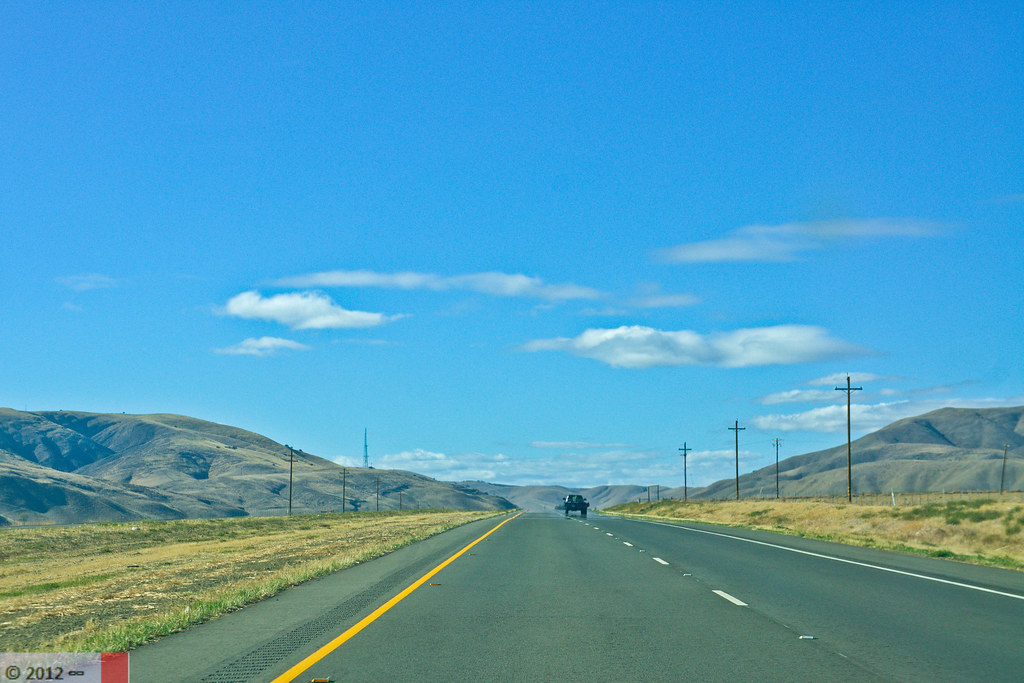
Wide Open Road
2008033017.jpg

Highway 41 Revisited
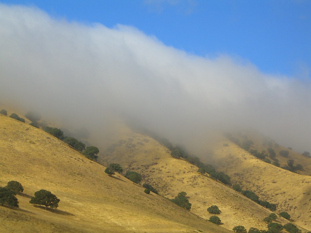
The Fog Creeps In

Highway 41 Revisited 2
Topographic Map of 2 Annette Rd, Shandon, CA, USA
Find elevation by address:

Places near 2 Annette Rd, Shandon, CA, USA:
California 46
CA-46, Lost Hills, CA, USA
3160 Gillis Cyn Rd
3030 Cammatti Shandon Rd
Cholame
CA-46, Shandon, CA, USA
Shandon
E Centre St, Shandon, CA, USA
Shell Creek Road
CA-33, Kettleman City, CA, USA
La Panza
Turkey Flat Rd, San Miguel, CA, USA
Topaz Solar Farm
3510 Yosemite Pl
Blackwells Corner
CA-46, Lost Hills, CA, USA
4185 N Ryan Rd
Ross Dr, Paso Robles, CA, USA
13035 Branch Mountain Rd
5205 Estrella Rd
Recent Searches:
- Elevation of Corso Fratelli Cairoli, 35, Macerata MC, Italy
- Elevation of Tallevast Rd, Sarasota, FL, USA
- Elevation of 4th St E, Sonoma, CA, USA
- Elevation of Black Hollow Rd, Pennsdale, PA, USA
- Elevation of Oakland Ave, Williamsport, PA, USA
- Elevation of Pedrógão Grande, Portugal
- Elevation of Klee Dr, Martinsburg, WV, USA
- Elevation of Via Roma, Pieranica CR, Italy
- Elevation of Tavkvetili Mountain, Georgia
- Elevation of Hartfords Bluff Cir, Mt Pleasant, SC, USA