Elevation of Chitta Katha Lake
Longitude: 74.5214267
Latitude: 34.9196287
Elevation: 4046m / 13274feet
Barometric Pressure: 61KPa
Elevation Map:
Satellite Map:
Related Photos:
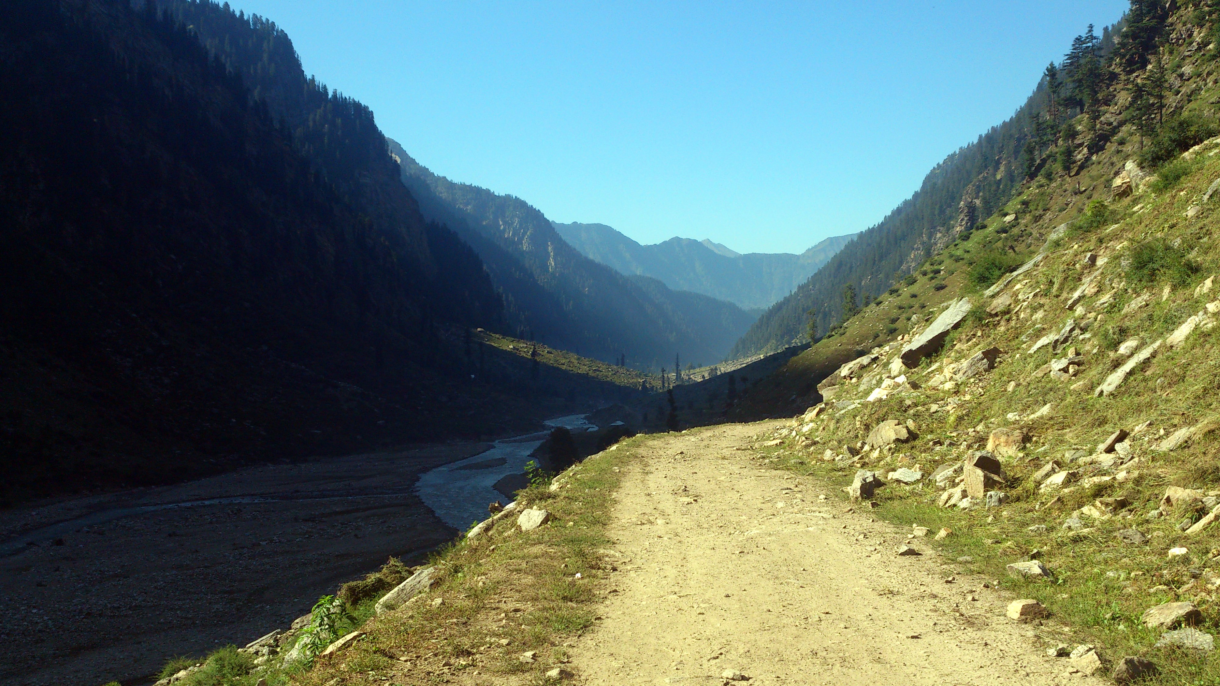
Shounter Valley
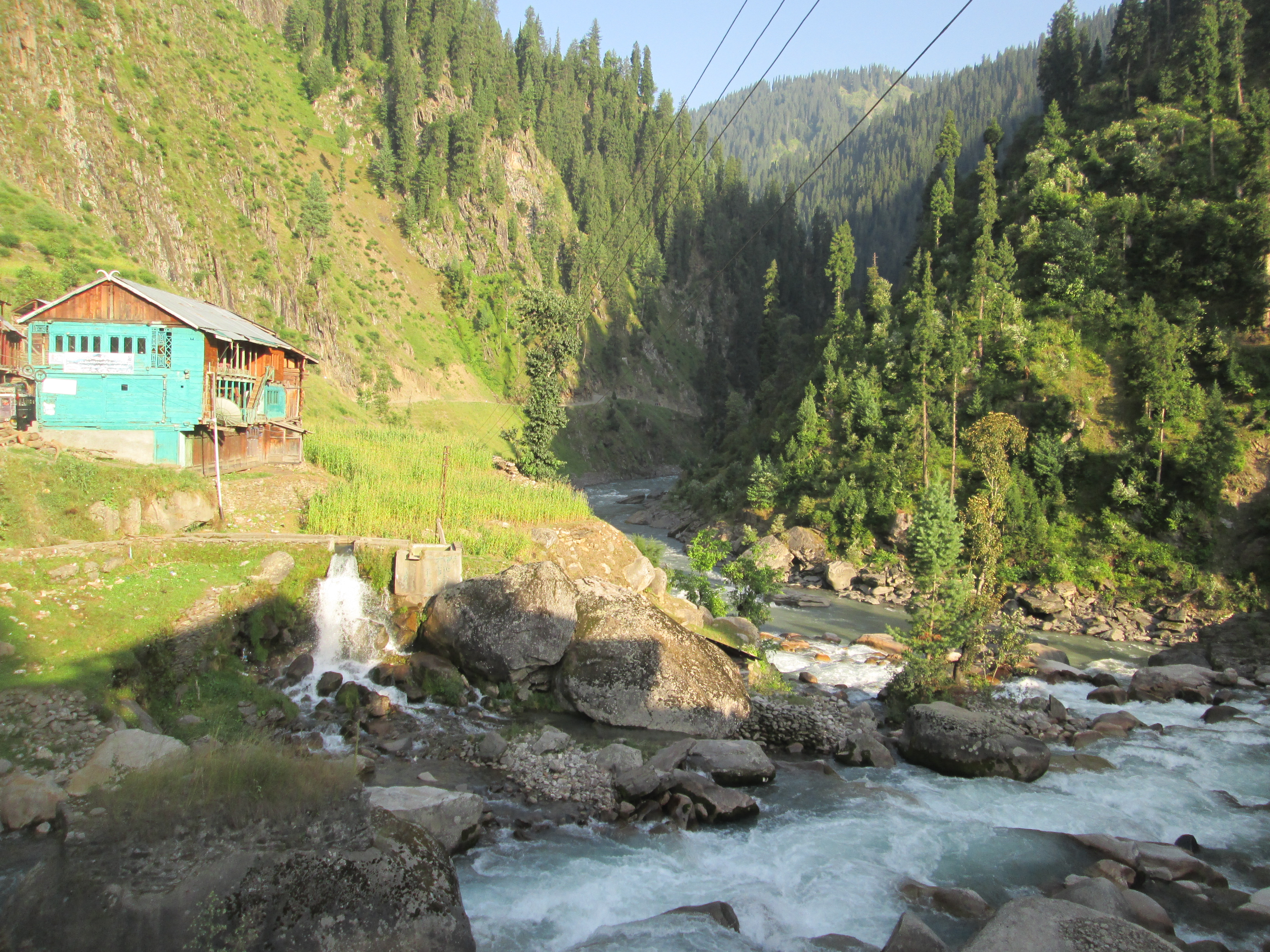
pullawai, gurez ajk
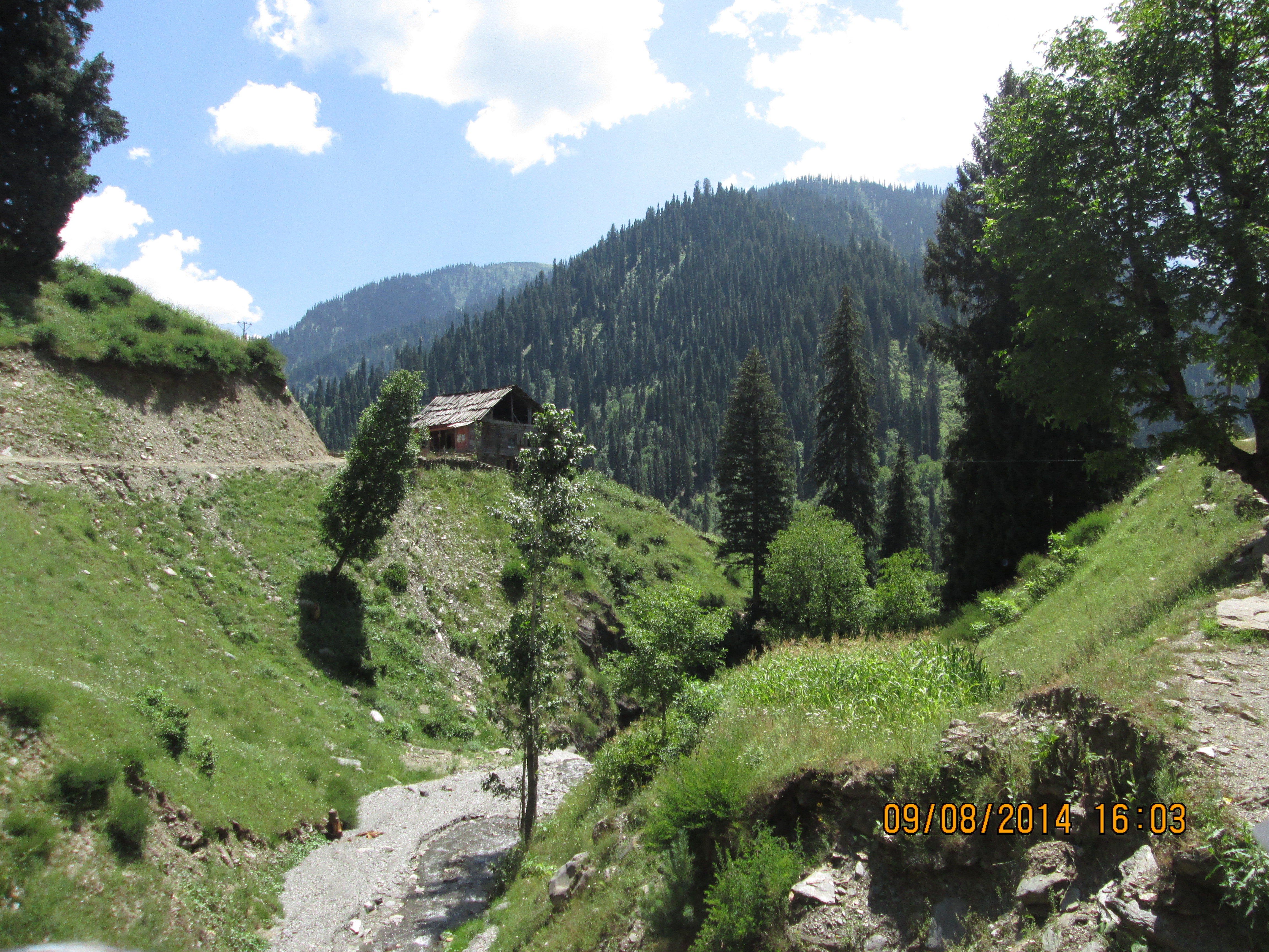
near janwai, ajk
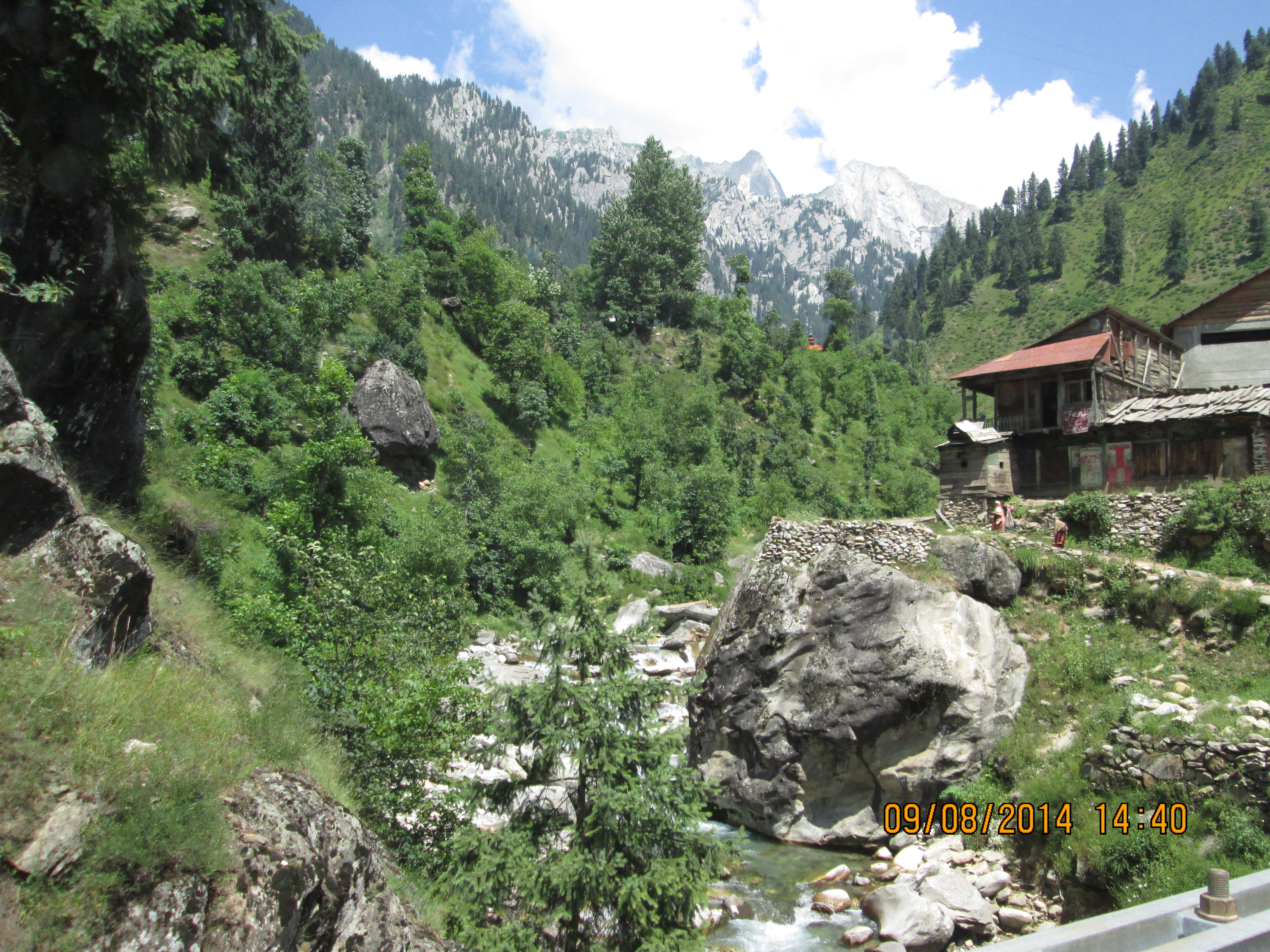
janwai, kashmir
Topographic Map of Chitta Katha Lake
Find elevation by address:

Places near Chitta Katha Lake:
Chitta Katha
Kel
Saral Lake
Dudipat Lake
Gattian Lake
Noori Top
Sambaksar Lake
Ratti Gali Lake
Hans Raj Kala Sar
Kupwara District Hospital
Kupwara
Babusar Pass
Babusar Top, Naran
Lulusar-dudipatsar National Park
Lalazar Lake
Kupwara
Sopore
Neelam Valley
Old Town
Baramulla Bridge
Recent Searches:
- Elevation of Corso Fratelli Cairoli, 35, Macerata MC, Italy
- Elevation of Tallevast Rd, Sarasota, FL, USA
- Elevation of 4th St E, Sonoma, CA, USA
- Elevation of Black Hollow Rd, Pennsdale, PA, USA
- Elevation of Oakland Ave, Williamsport, PA, USA
- Elevation of Pedrógão Grande, Portugal
- Elevation of Klee Dr, Martinsburg, WV, USA
- Elevation of Via Roma, Pieranica CR, Italy
- Elevation of Tavkvetili Mountain, Georgia
- Elevation of Hartfords Bluff Cir, Mt Pleasant, SC, USA