Elevation of Chitta Katha
Longitude: 74.493225
Latitude: 34.9384918
Elevation: 3385m / 11106feet
Barometric Pressure: 67KPa
Elevation Map:
Satellite Map:
Related Photos:
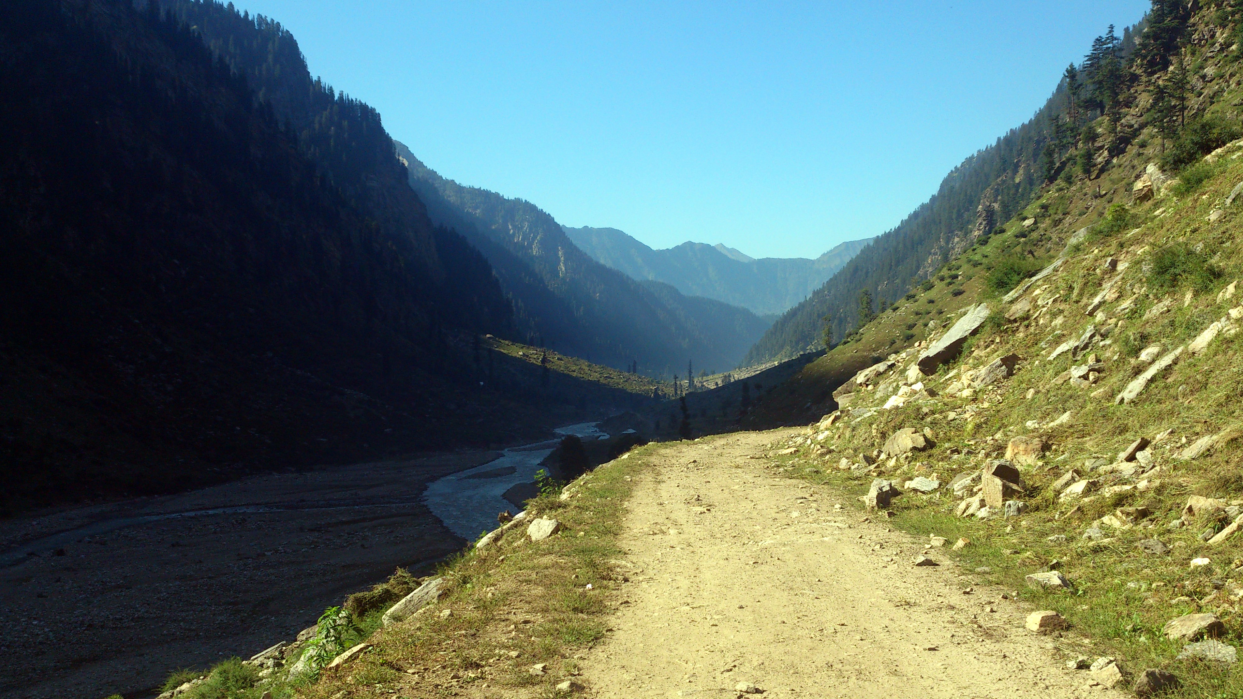
Shounter Valley
Topographic Map of Chitta Katha
Find elevation by address:

Places near Chitta Katha:
Chitta Katha Lake
Kel
Saral Lake
Dudipat Lake
Sambaksar Lake
Gattian Lake
Noori Top
Ratti Gali Lake
Hans Raj Kala Sar
Kupwara District Hospital
Kupwara
Babusar Pass
Babusar Top, Naran
Lulusar-dudipatsar National Park
Lalazar Lake
Kupwara
Sopore
Neelam Valley
Batakundi
Pine Top Resort Batakundi
Recent Searches:
- Elevation of Corso Fratelli Cairoli, 35, Macerata MC, Italy
- Elevation of Tallevast Rd, Sarasota, FL, USA
- Elevation of 4th St E, Sonoma, CA, USA
- Elevation of Black Hollow Rd, Pennsdale, PA, USA
- Elevation of Oakland Ave, Williamsport, PA, USA
- Elevation of Pedrógão Grande, Portugal
- Elevation of Klee Dr, Martinsburg, WV, USA
- Elevation of Via Roma, Pieranica CR, Italy
- Elevation of Tavkvetili Mountain, Georgia
- Elevation of Hartfords Bluff Cir, Mt Pleasant, SC, USA