Elevation of Chemin du lac-Jim, Mansfield-et-Pontefract, QC J0X, Canada
Location: Canada > Québec > Pontiac Regional County Municipality > Mansfield-et-pontefract >
Longitude: -76.785948
Latitude: 46.1049159
Elevation: 216m / 709feet
Barometric Pressure: 99KPa
Elevation Map:
Satellite Map:
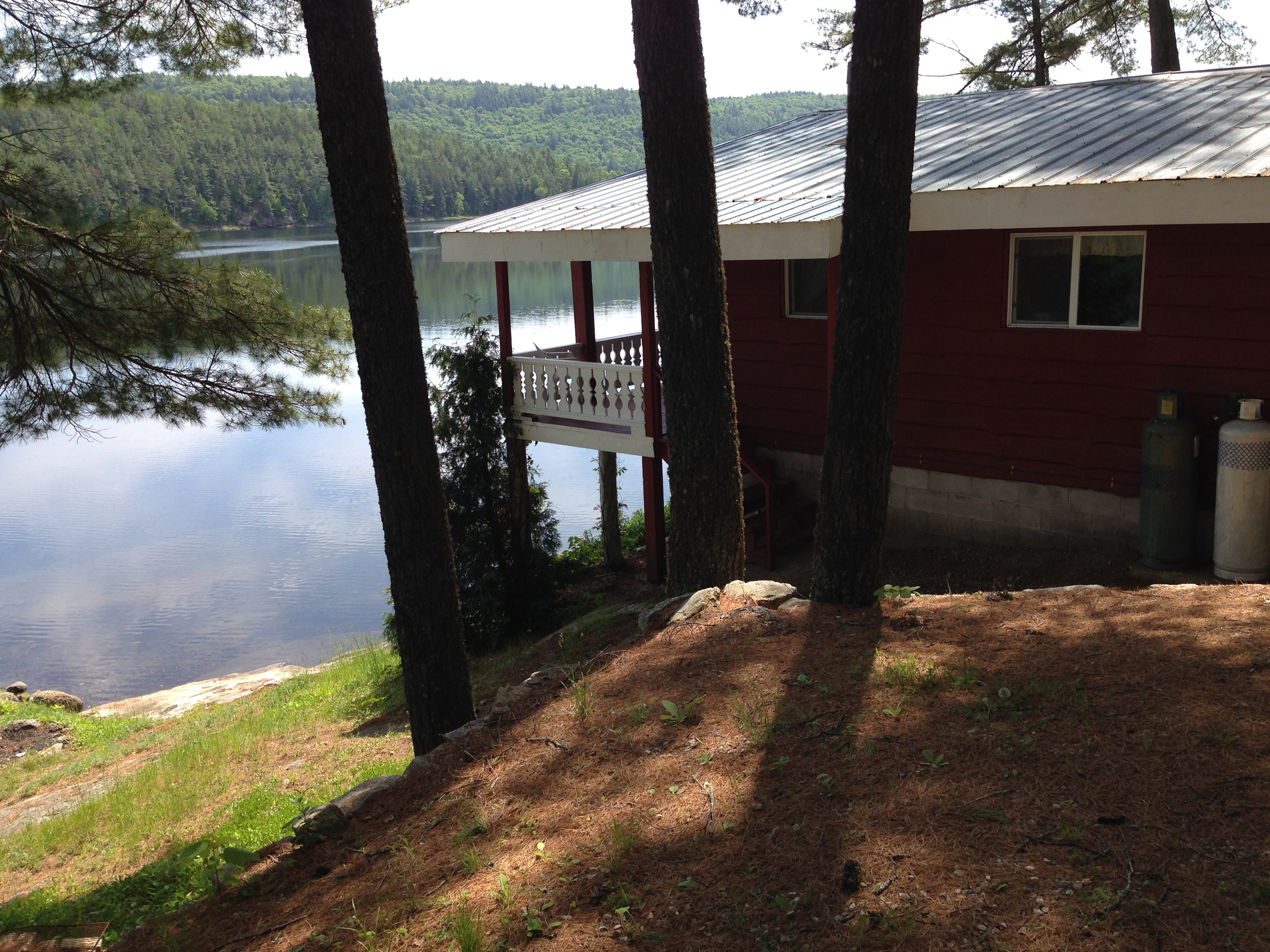
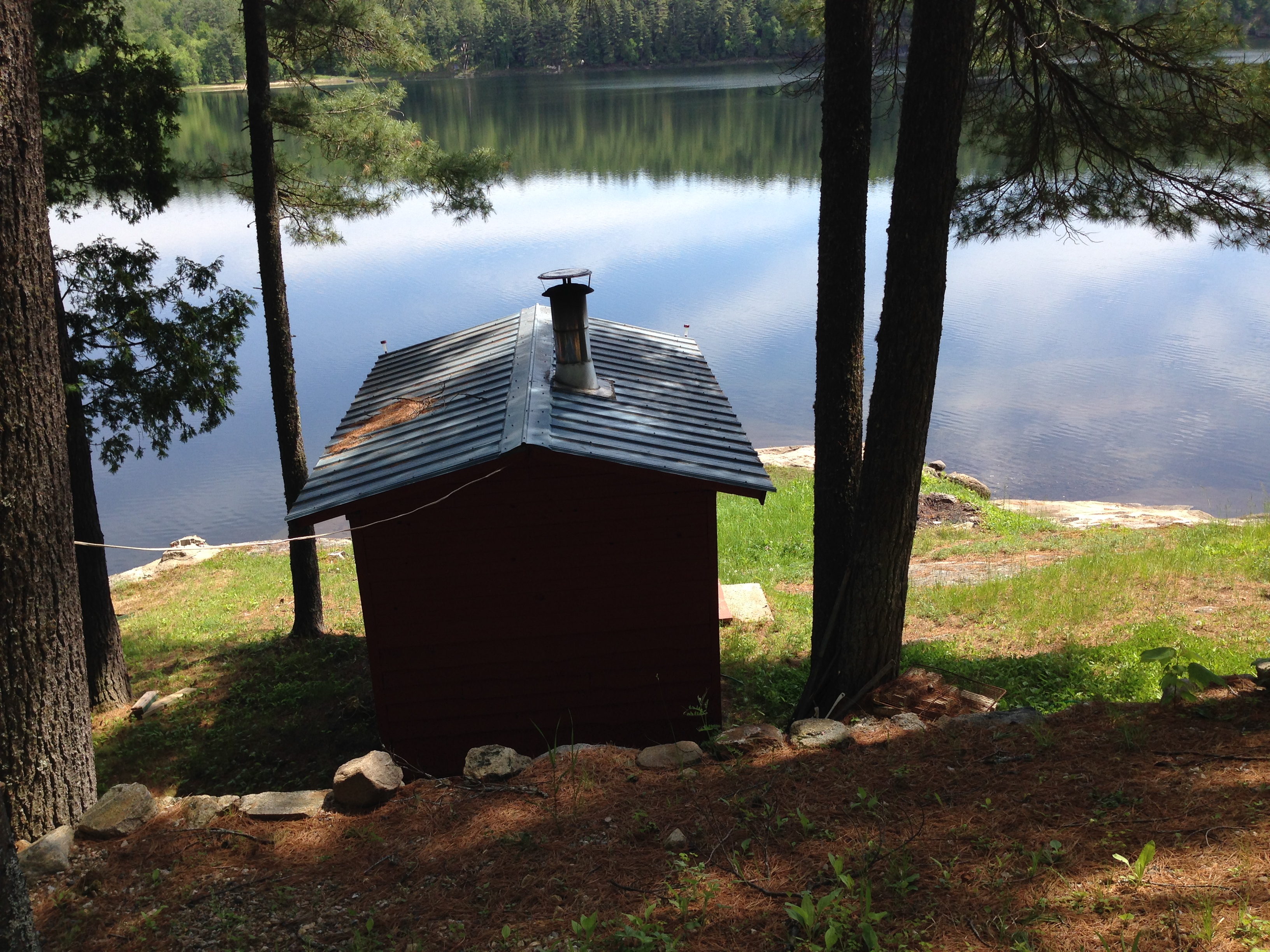
Related Photos:

IMG_1690

IMG_1725


greenlakefireworks2014

greenlakesunset
IMG_1541
IMG_1542

IMG_1692

IMG_1726

IMG_1729

IMG_1735

IMG_1737

IMG_1710

IMG_1719

IMG_1721

IMG_1736

IMG_1799


Topographic Map of Chemin du lac-Jim, Mansfield-et-Pontefract, QC J0X, Canada
Find elevation by address:

Places near Chemin du lac-Jim, Mansfield-et-Pontefract, QC J0X, Canada:
274 Chemin Du Bois Franc
249 Chemin Du Bois Franc
810 Chemin De La Chute
38 Rue Nadeau, Waltham, QC J0X 3H0, Canada
Cycloparc PPJ, Mansfield-et-Pontefract, QC J0X, Canada
356 Greenway Dr
Mansfield-et-pontefract
Mansfield-et-pontefract
J0x 1r0
La Passe
Westmeath
434 Canola Rd
Chichester
2059 B Pleasant Valley Rd
QC-, Chapeau, QC J0X 1M0, Canada
J0x 2p0
L'isle-aux-allumettes
Chapeau
Sullivan Island
Leslie-clapham-et-huddersfield
Recent Searches:
- Elevation of Corso Fratelli Cairoli, 35, Macerata MC, Italy
- Elevation of Tallevast Rd, Sarasota, FL, USA
- Elevation of 4th St E, Sonoma, CA, USA
- Elevation of Black Hollow Rd, Pennsdale, PA, USA
- Elevation of Oakland Ave, Williamsport, PA, USA
- Elevation of Pedrógão Grande, Portugal
- Elevation of Klee Dr, Martinsburg, WV, USA
- Elevation of Via Roma, Pieranica CR, Italy
- Elevation of Tavkvetili Mountain, Georgia
- Elevation of Hartfords Bluff Cir, Mt Pleasant, SC, USA