Elevation of 38 Rue Nadeau, Waltham, QC J0X 3H0, Canada
Location: Canada > Québec > Pontiac Regional County Municipality >
Longitude: -76.908663
Latitude: 45.9073849
Elevation: 116m / 381feet
Barometric Pressure: 100KPa
Elevation Map:
Satellite Map:
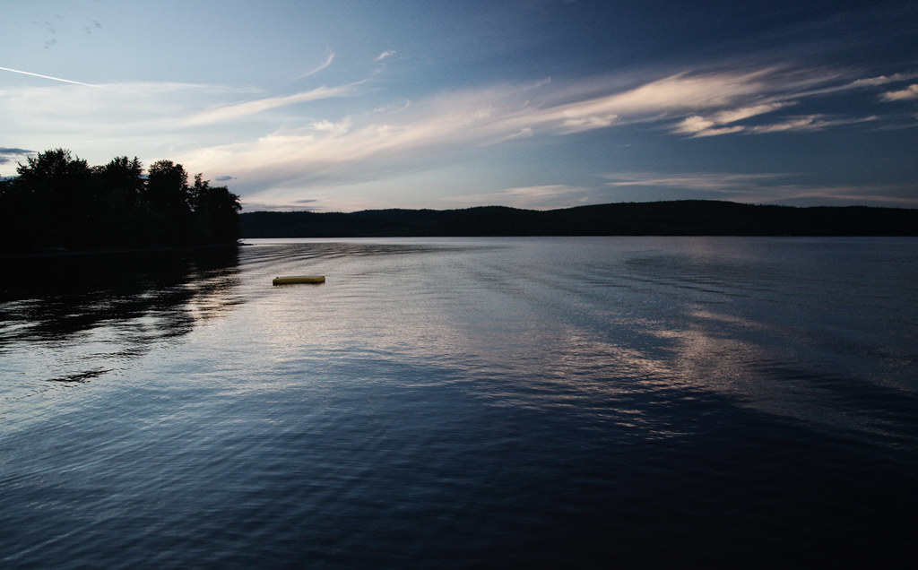
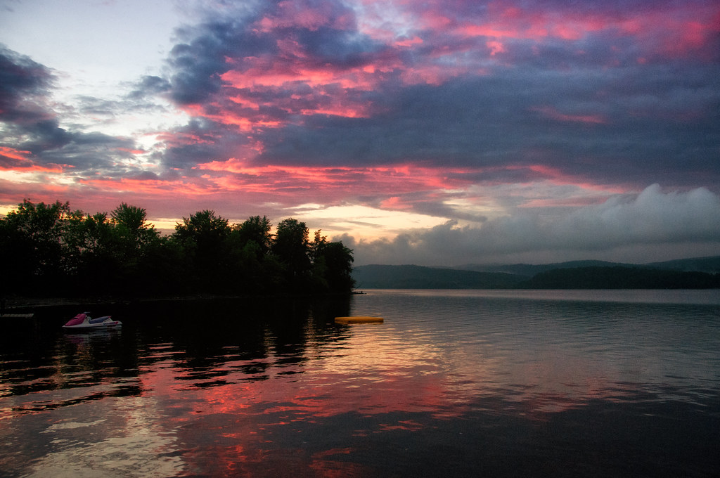
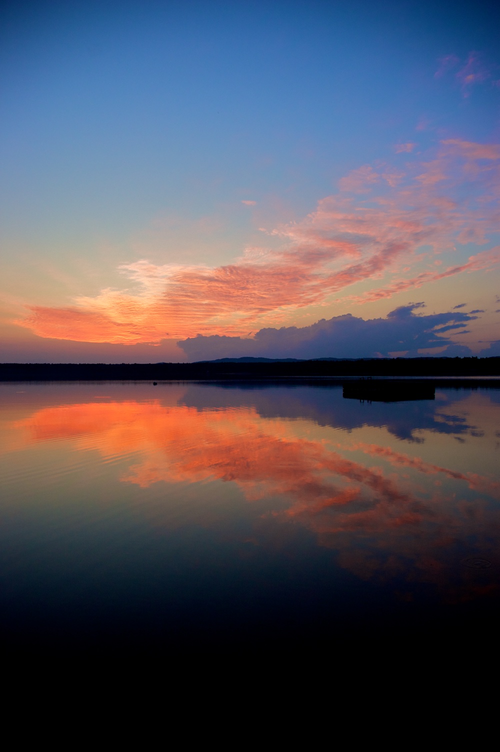
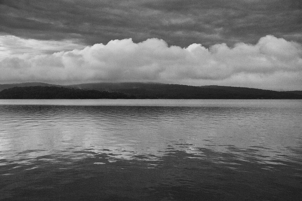
Related Photos:

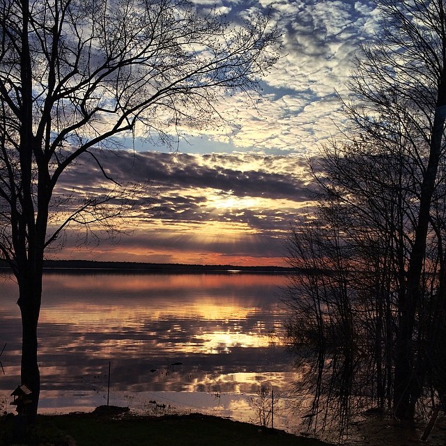
I Remember Red
The only thing more amazing than this view right now, is having the time & absolute quiet required to fully enjoy it. :^) #Sunset #Spring #CottageCountry #TakeItIn
The Seasons of Life

Lovely Chaos
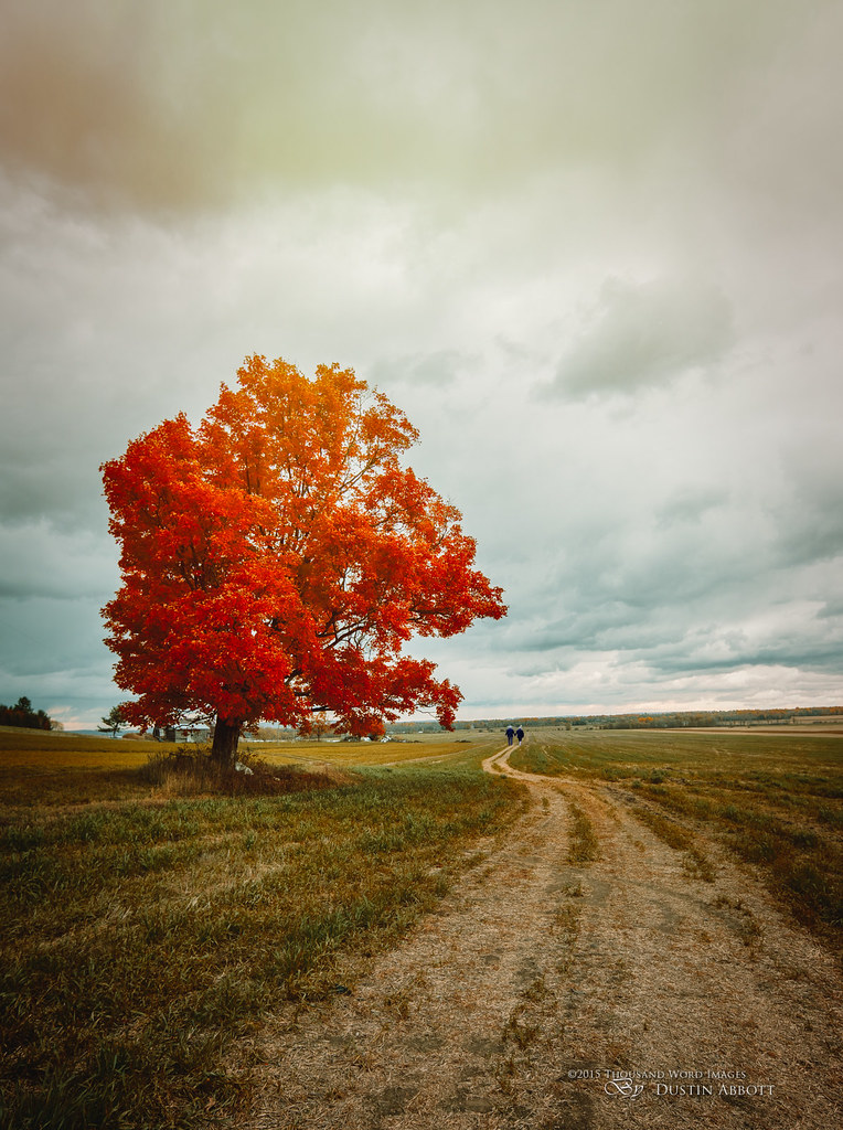
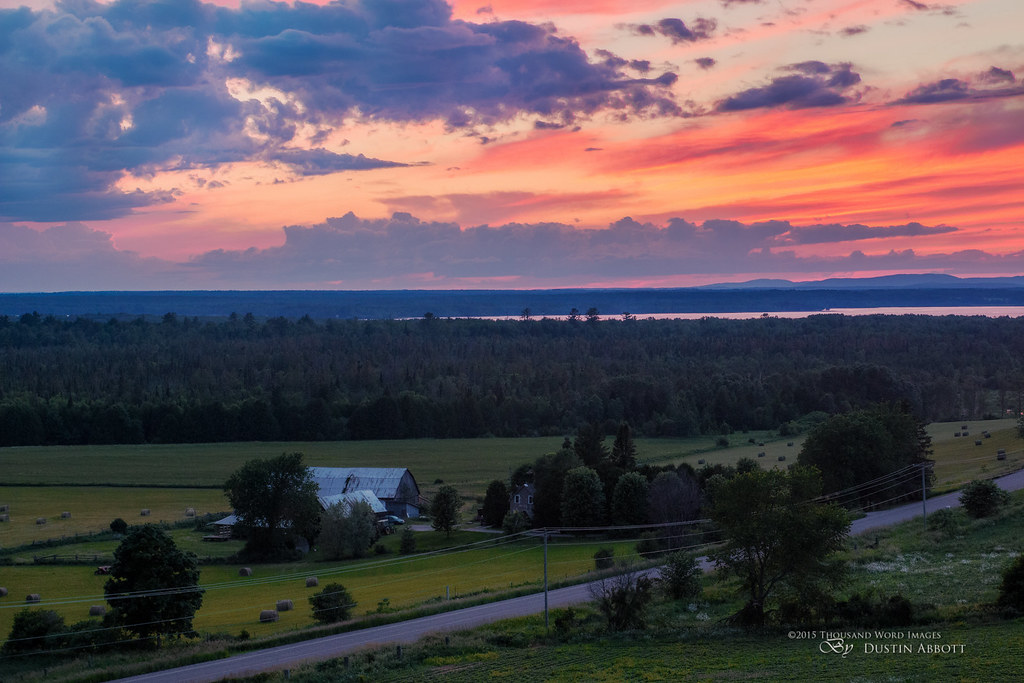
Fall on the Farm
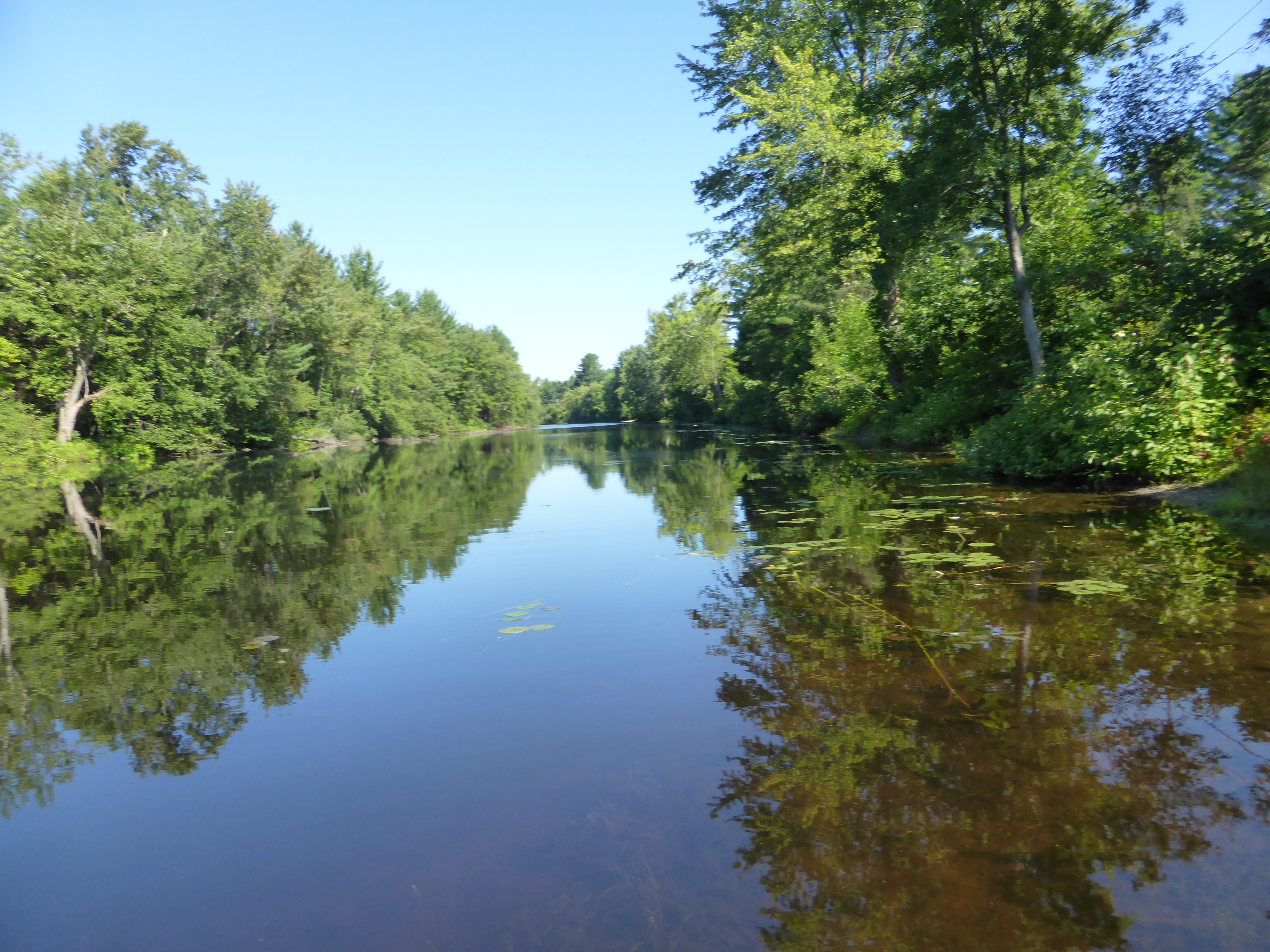
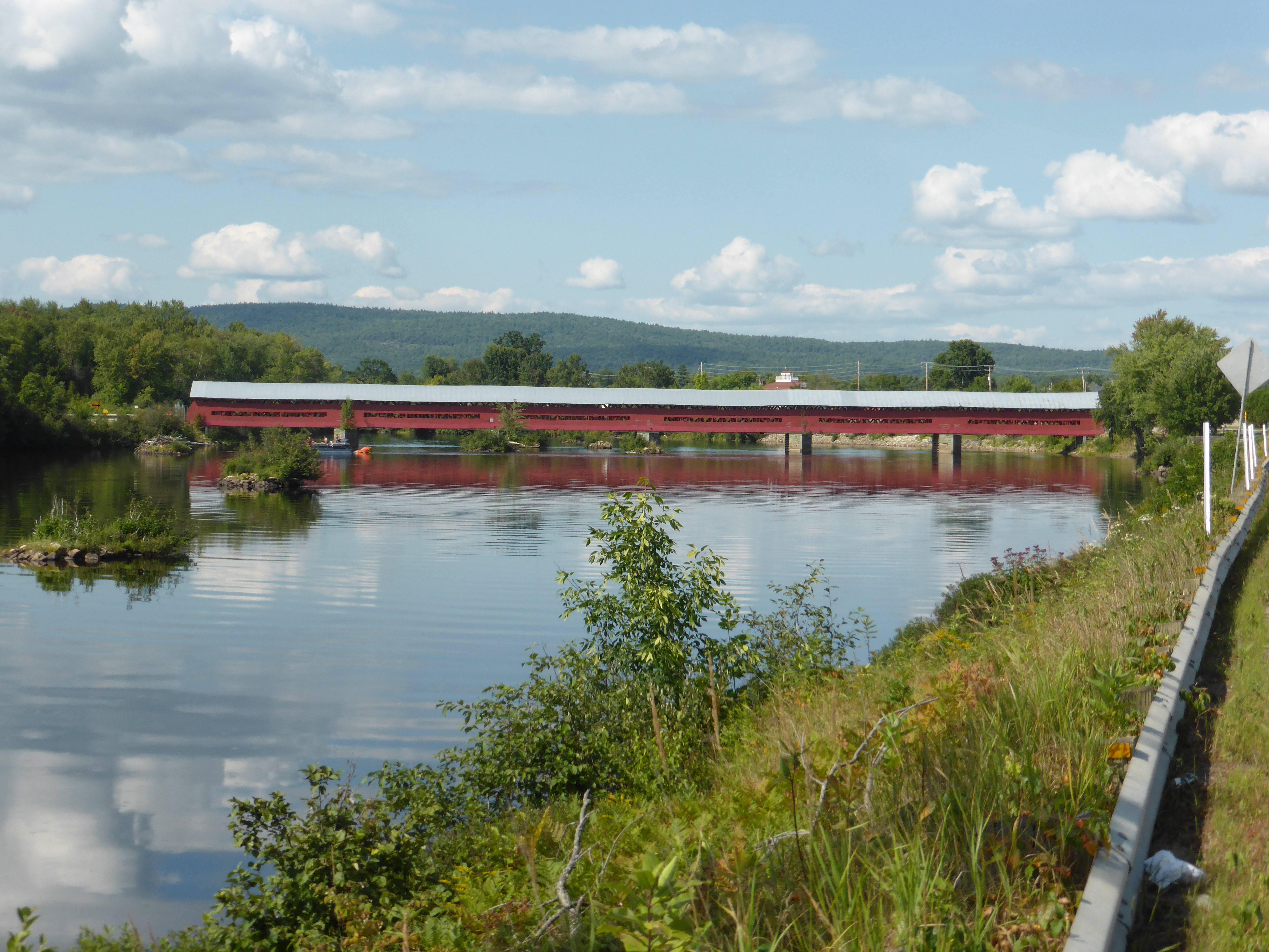
Ottawa River in Ft Colougne
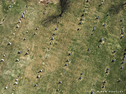
Cemetery at Chapeau, Quebec - Kite Aerial Photography (KAP)
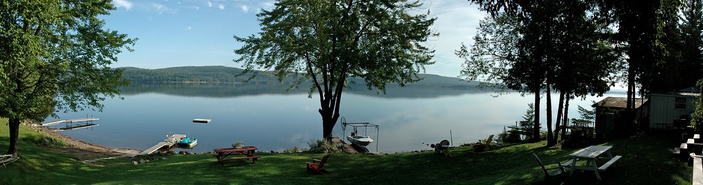
Cottage view
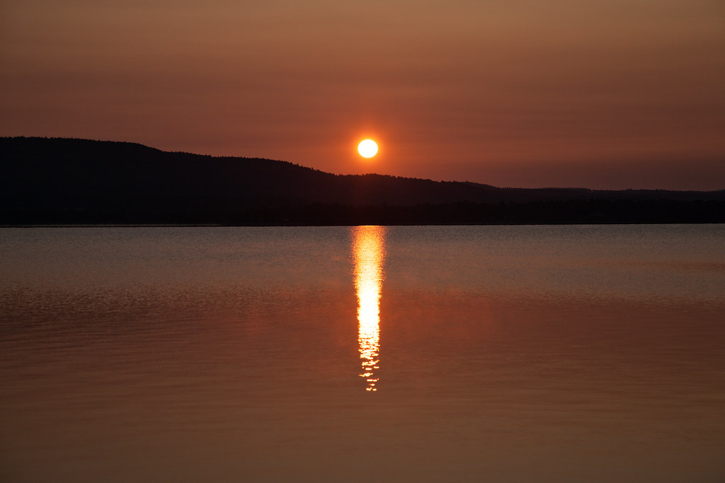
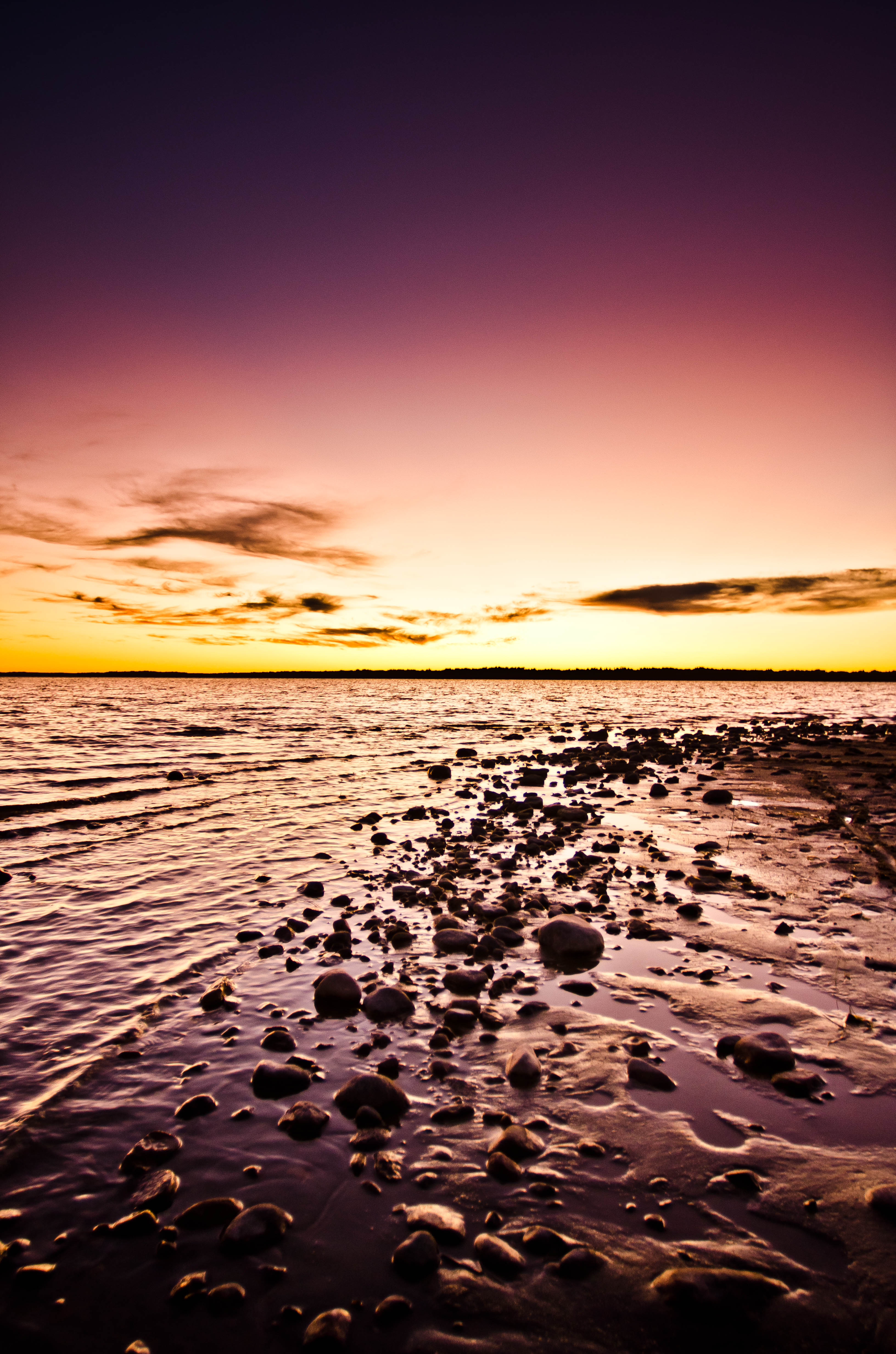
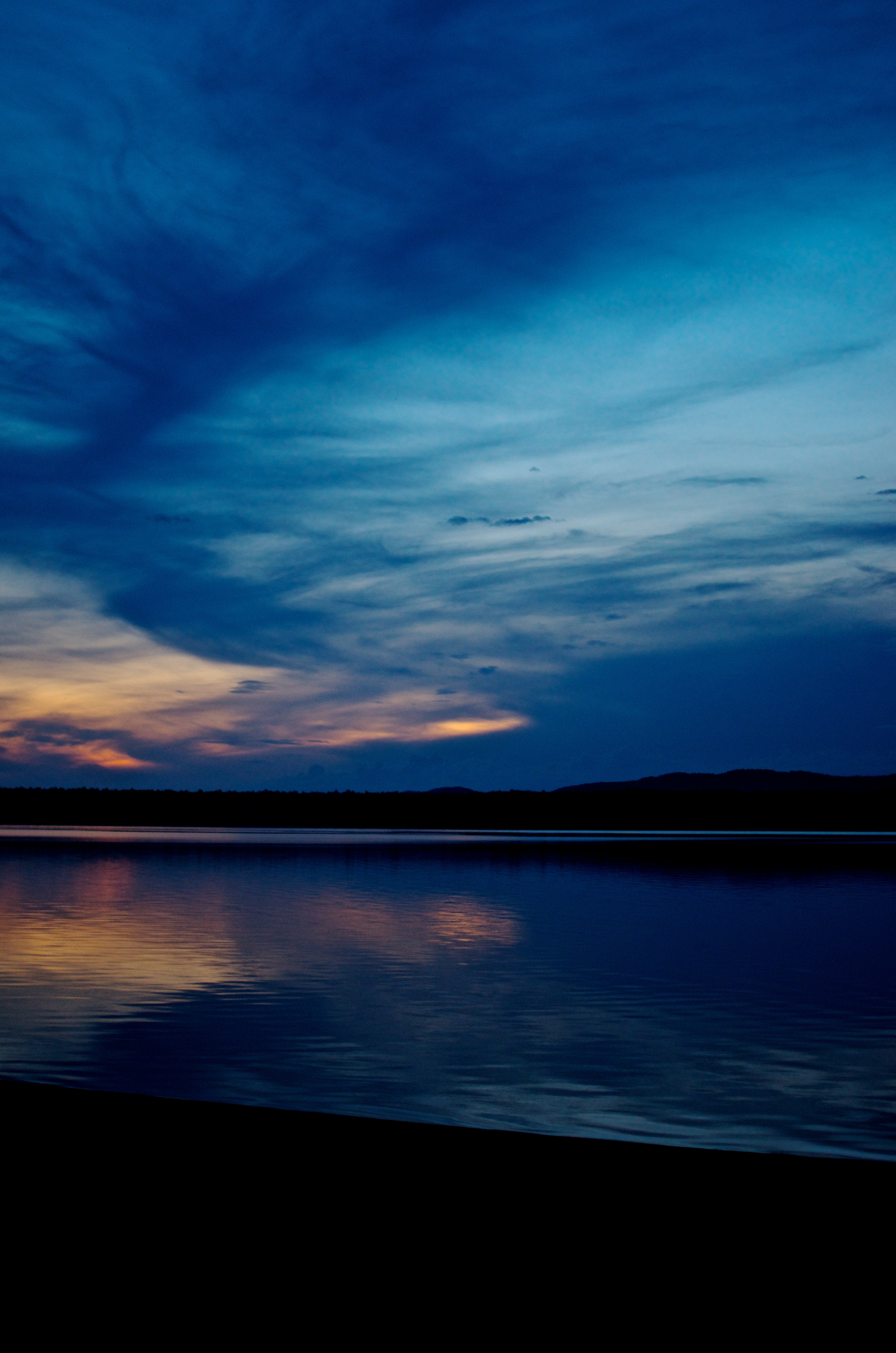
Sundown in the Country

Man and Wife
Ottawa River sunrise3

Watching the Lights go Down

Westmeath Provincial Park, Ontario
_MG_9308-Edit.jpg
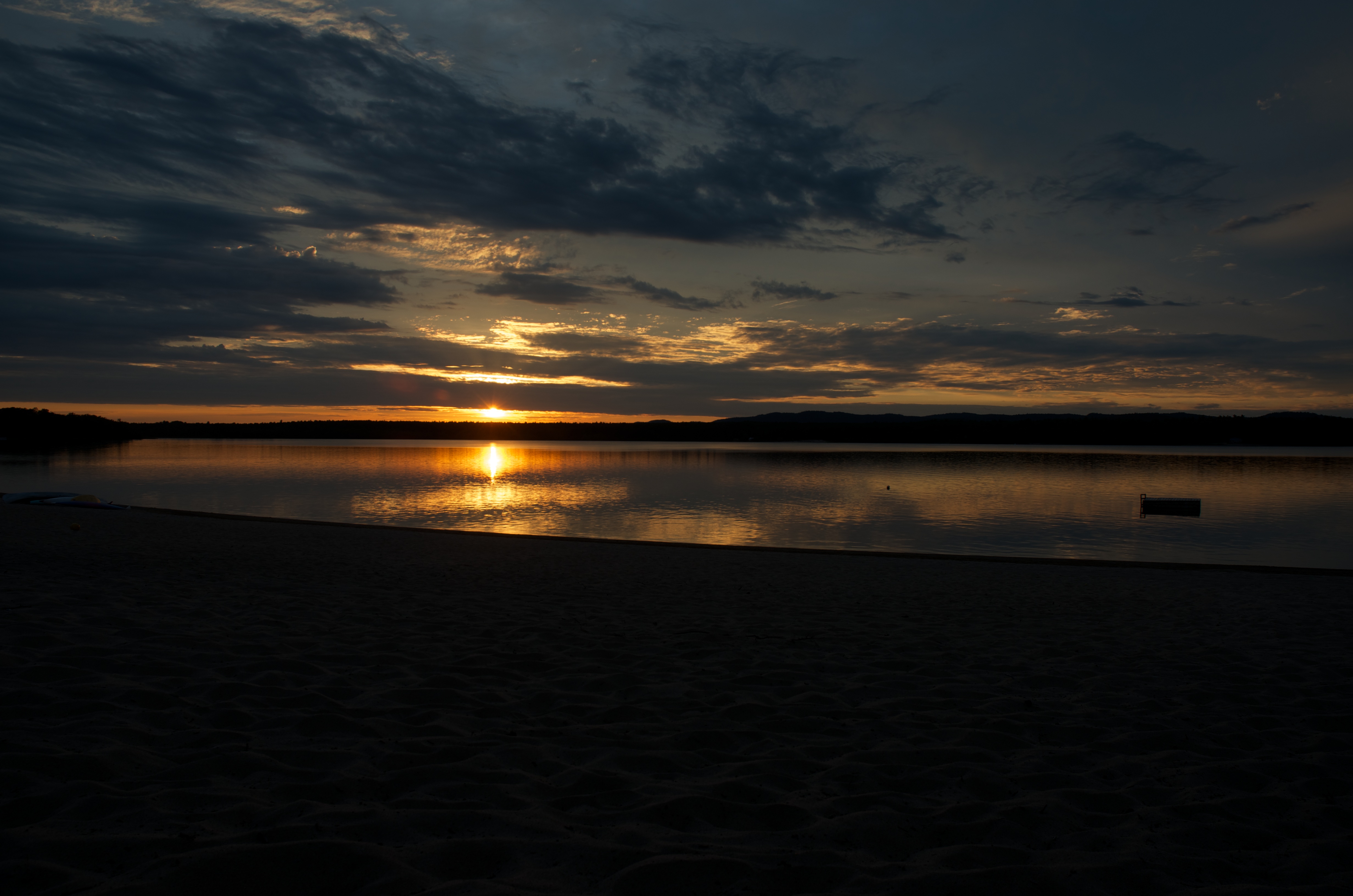
Ottawa River sunset
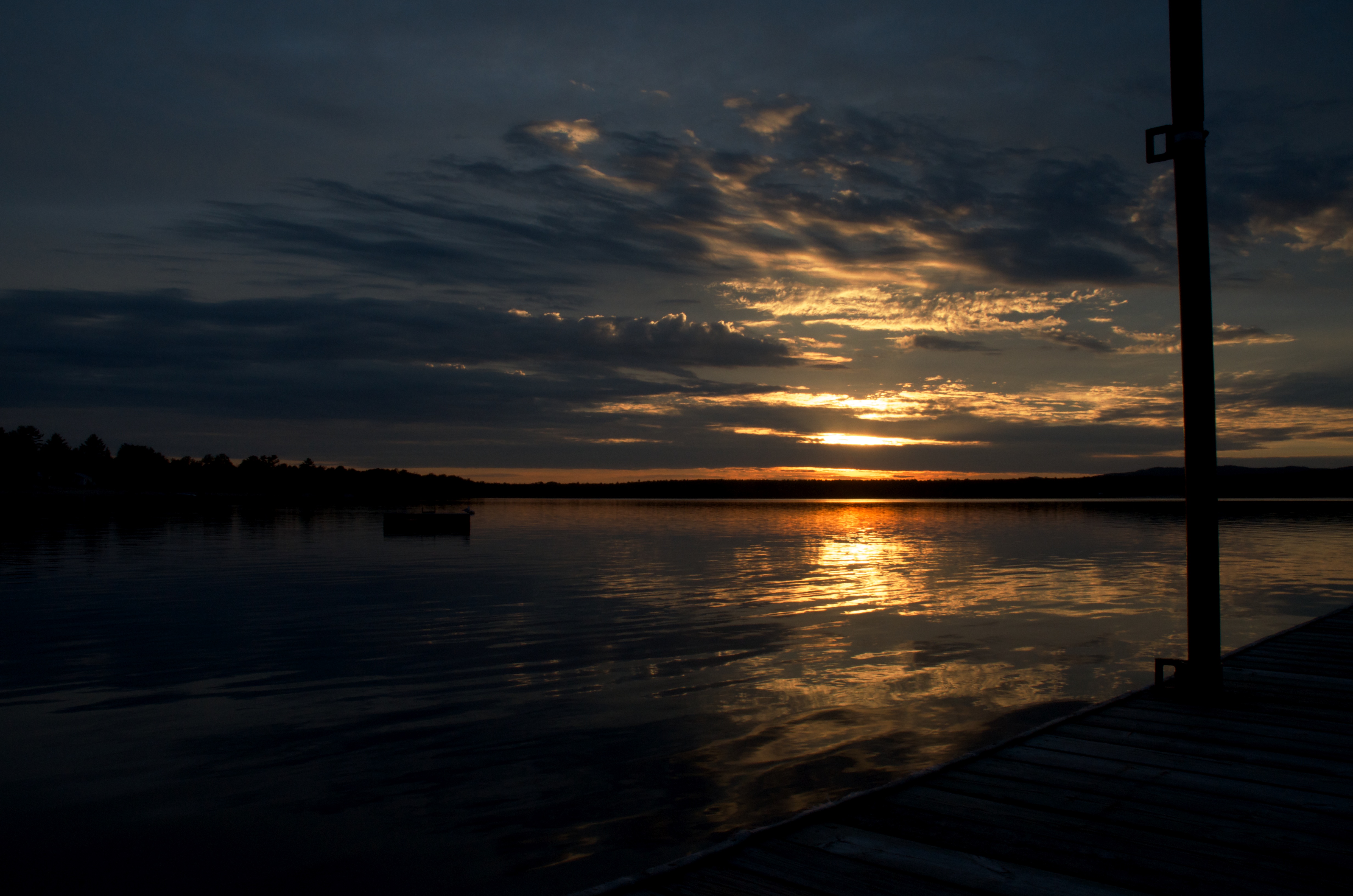
Sunset Mirror
Quebec hills and low cloud formation
Ottawa River at Chapeau, Quebec - Kite Aerial Photography (KAP)
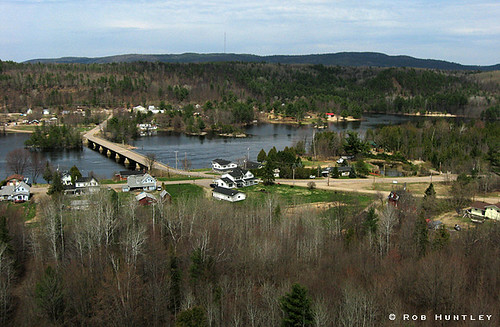
Fort Colougne Bridge
Royal Glow
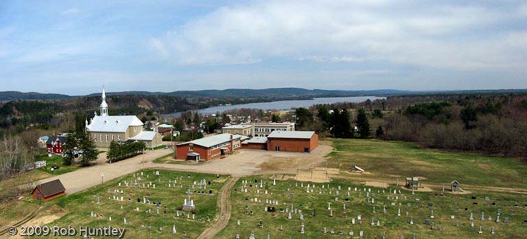
Aerial Photograph Panorama - L'Eglise St-Alphonse-de-Ligouri in Chapeau, Quebec - Kite Aerial Photography (KAP)
Snake Sunset
Beach Sunset
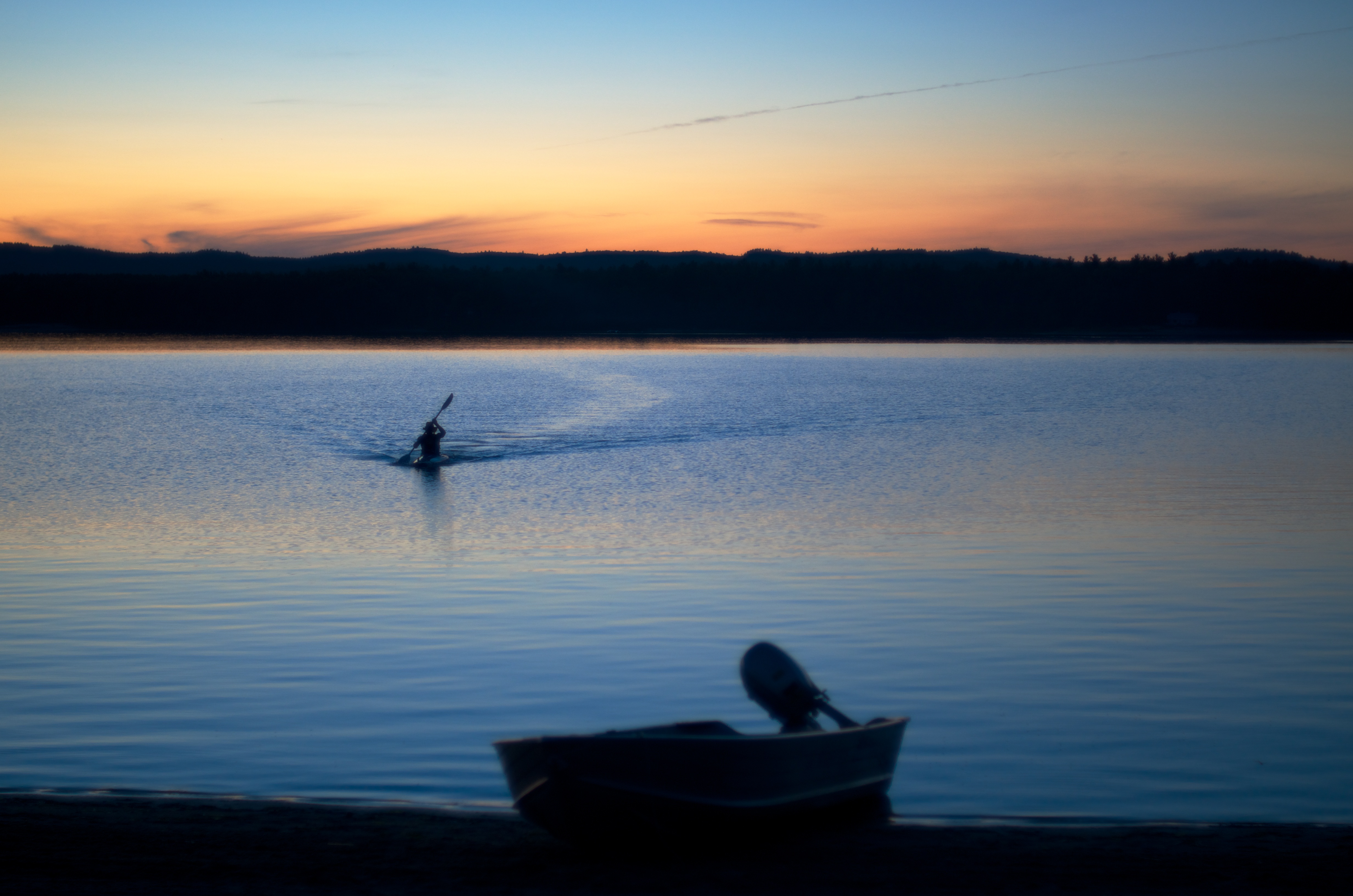
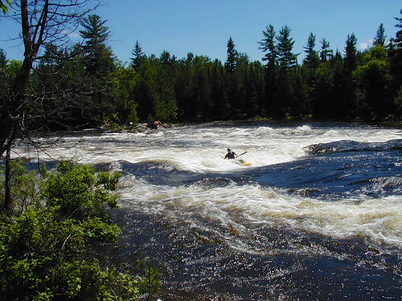
Kayak Wake
Dock Sunset
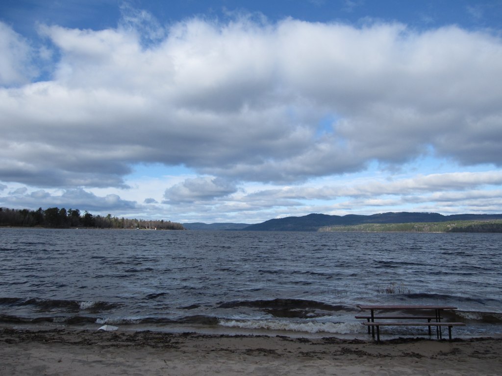
Deep River Beach
20020619 Ottawa 015
Nowhere Quebec (9)
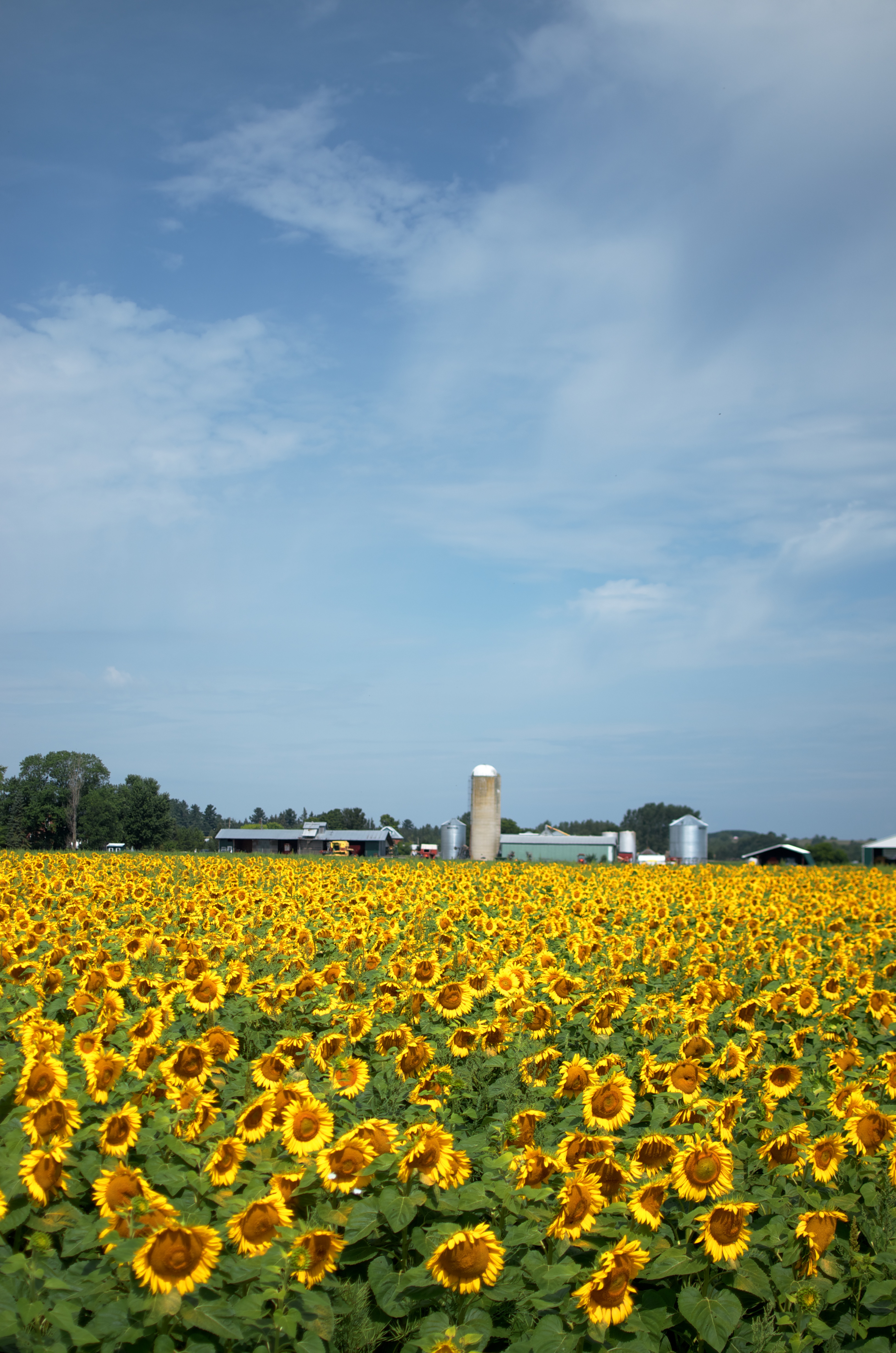
Sunflower Field
Topographic Map of 38 Rue Nadeau, Waltham, QC J0X 3H0, Canada
Find elevation by address:

Places near 38 Rue Nadeau, Waltham, QC J0X 3H0, Canada:
Westmeath
QC-, Chapeau, QC J0X 1M0, Canada
2059 B Pleasant Valley Rd
L'isle-aux-allumettes
Chemin Fitzpatrick
356 Greenway Dr
434 Canola Rd
Cycloparc PPJ, Mansfield-et-Pontefract, QC J0X, Canada
1039 Gull Rd
La Passe
Chapeau
Beachburg
Greenwood Rd, Pembroke, ON K8A 6W3, Canada
Greenwood Road
Mansfield-et-pontefract
Mansfield-et-pontefract
Whitewater Region
J0x 1r0
Chichester
Sullivan Island
Recent Searches:
- Elevation of Corso Fratelli Cairoli, 35, Macerata MC, Italy
- Elevation of Tallevast Rd, Sarasota, FL, USA
- Elevation of 4th St E, Sonoma, CA, USA
- Elevation of Black Hollow Rd, Pennsdale, PA, USA
- Elevation of Oakland Ave, Williamsport, PA, USA
- Elevation of Pedrógão Grande, Portugal
- Elevation of Klee Dr, Martinsburg, WV, USA
- Elevation of Via Roma, Pieranica CR, Italy
- Elevation of Tavkvetili Mountain, Georgia
- Elevation of Hartfords Bluff Cir, Mt Pleasant, SC, USA