Elevation of Chichester, QC, Canada
Location: Canada > Québec > Pontiac Regional County Municipality >
Longitude: -77.080218
Latitude: 45.9947726
Elevation: 203m / 666feet
Barometric Pressure: 99KPa
Elevation Map:
Satellite Map:
Related Photos:
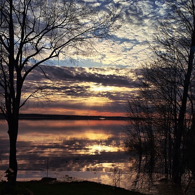
The only thing more amazing than this view right now, is having the time & absolute quiet required to fully enjoy it. :^) #Sunset #Spring #CottageCountry #TakeItIn
Ottawa River View
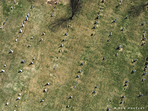
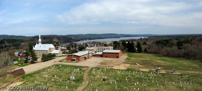
Cemetery at Chapeau, Quebec - Kite Aerial Photography (KAP)

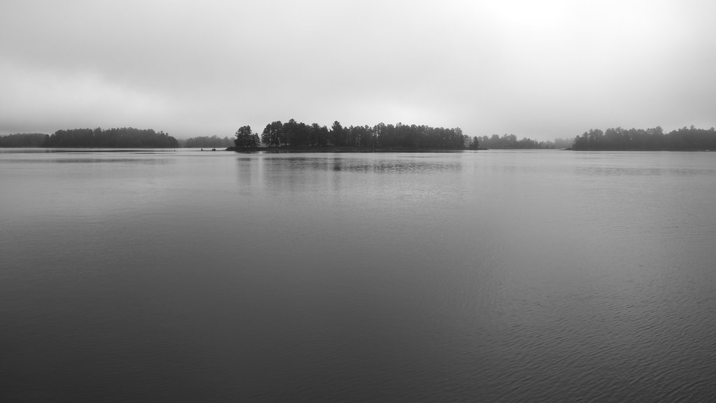
Morning Calm

Brennan's Bluff
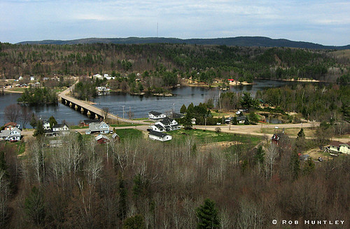
Ottawa River at Chapeau, Quebec - Kite Aerial Photography (KAP)
Paddling at the cottage

P1090820.JPG
P1070330.JPG
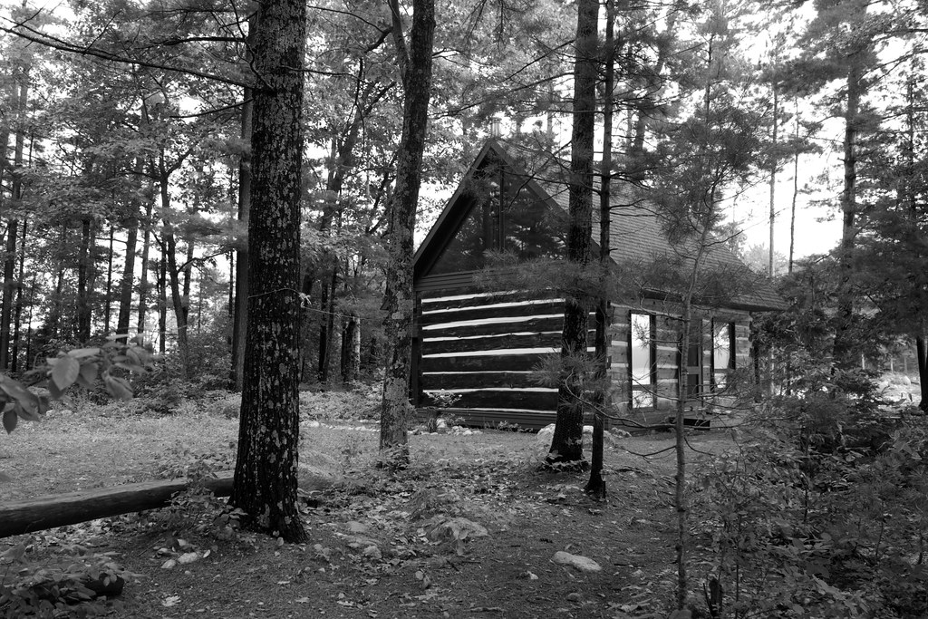
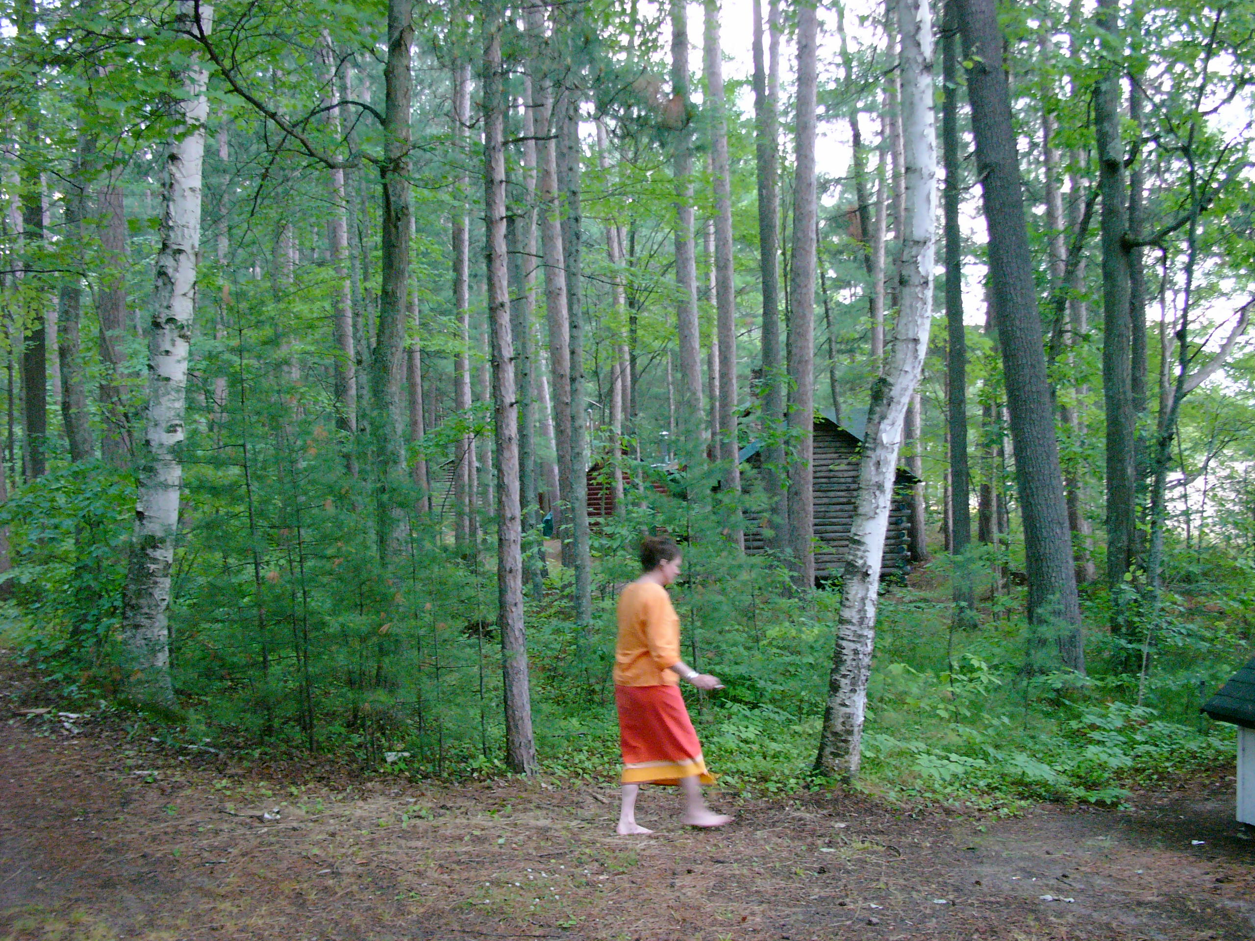
The Cabin
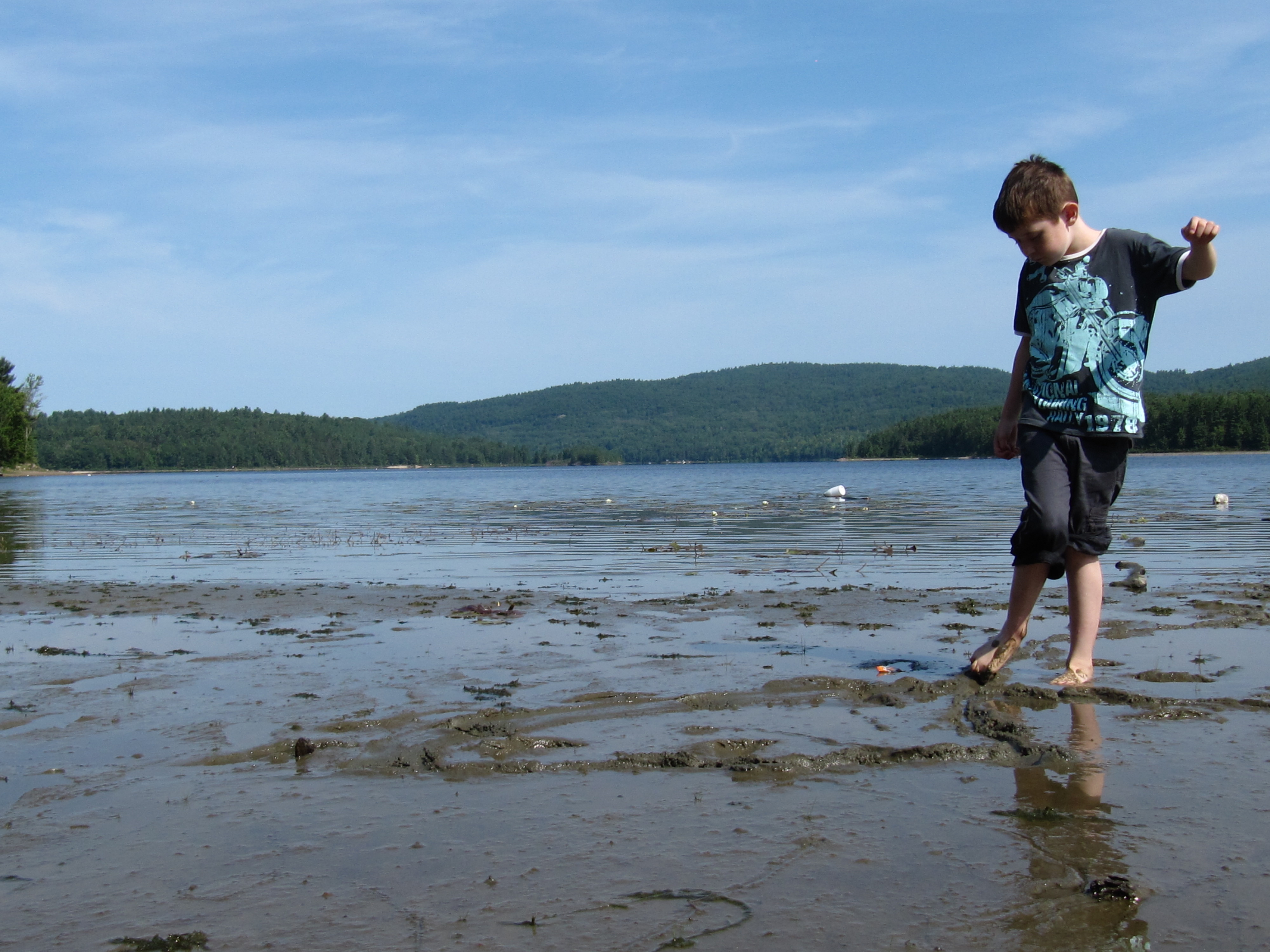
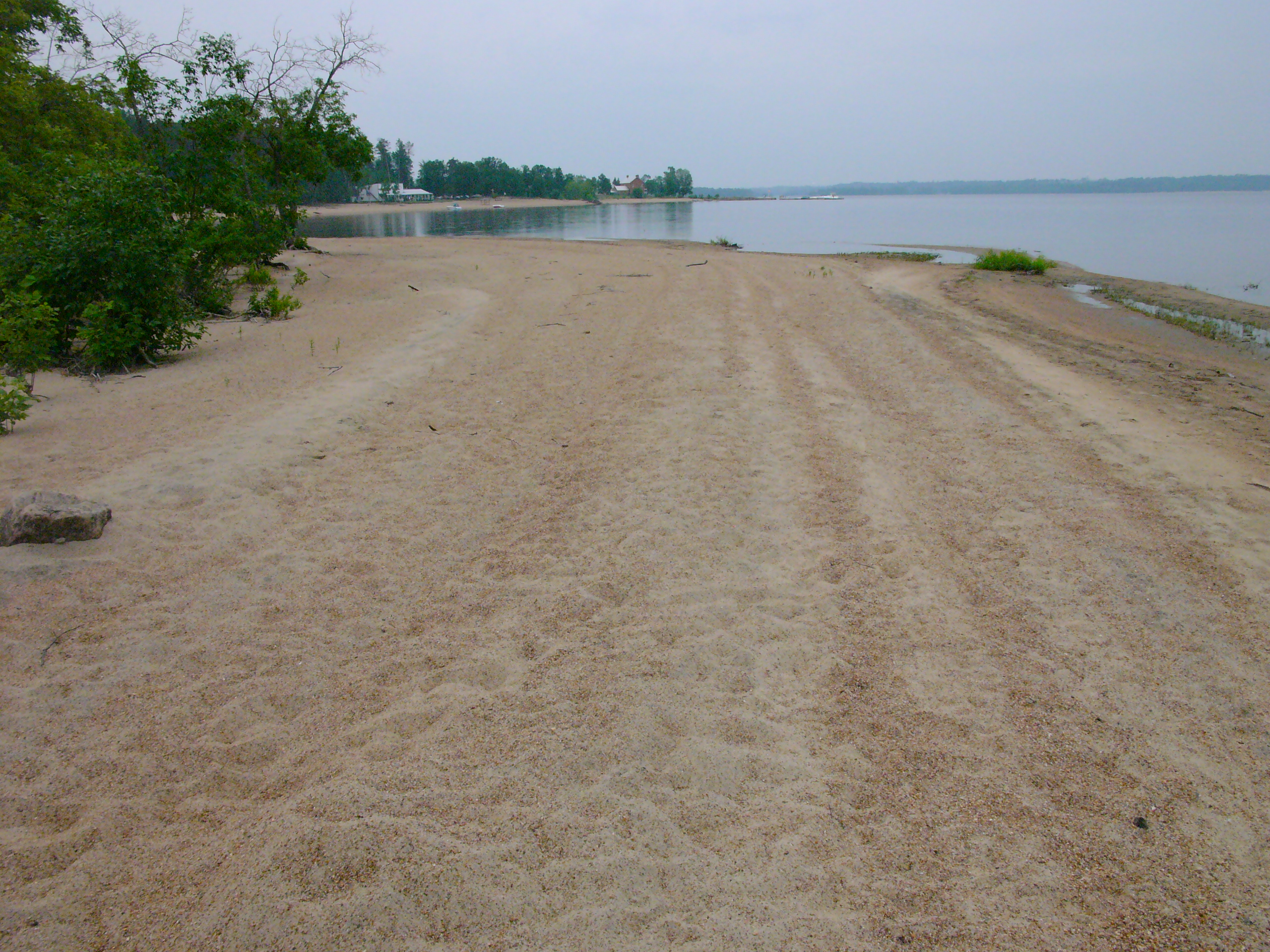
Morning water
Aerial Photograph Panorama - L'Eglise St-Alphonse-de-Ligouri in Chapeau, Quebec - Kite Aerial Photography (KAP)
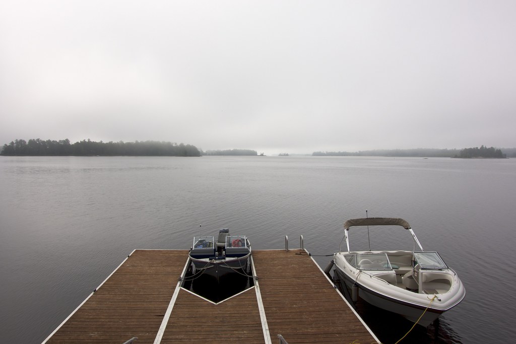
The dock
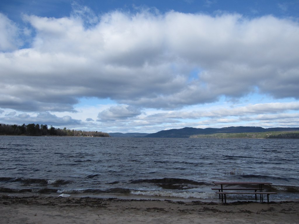
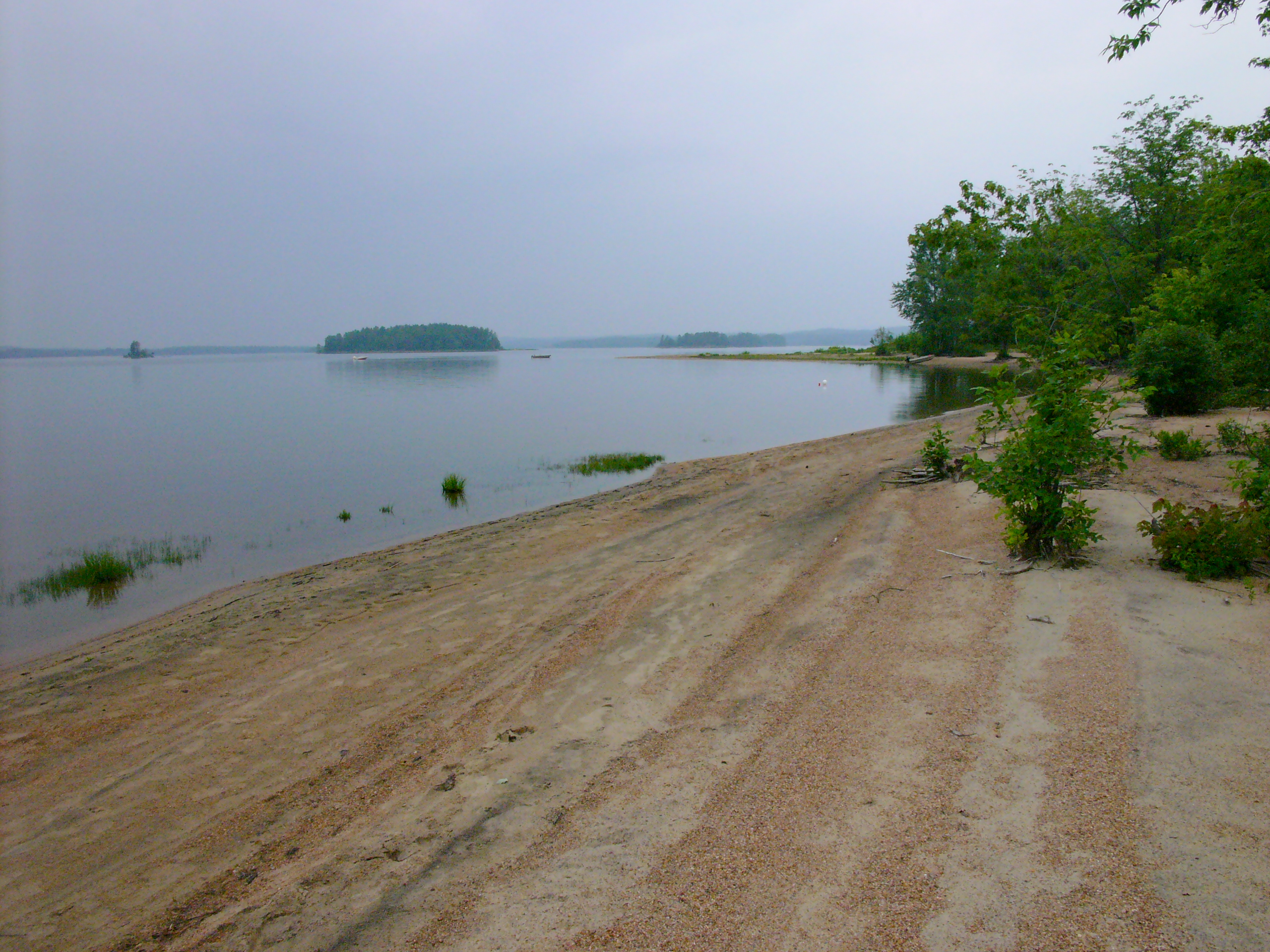
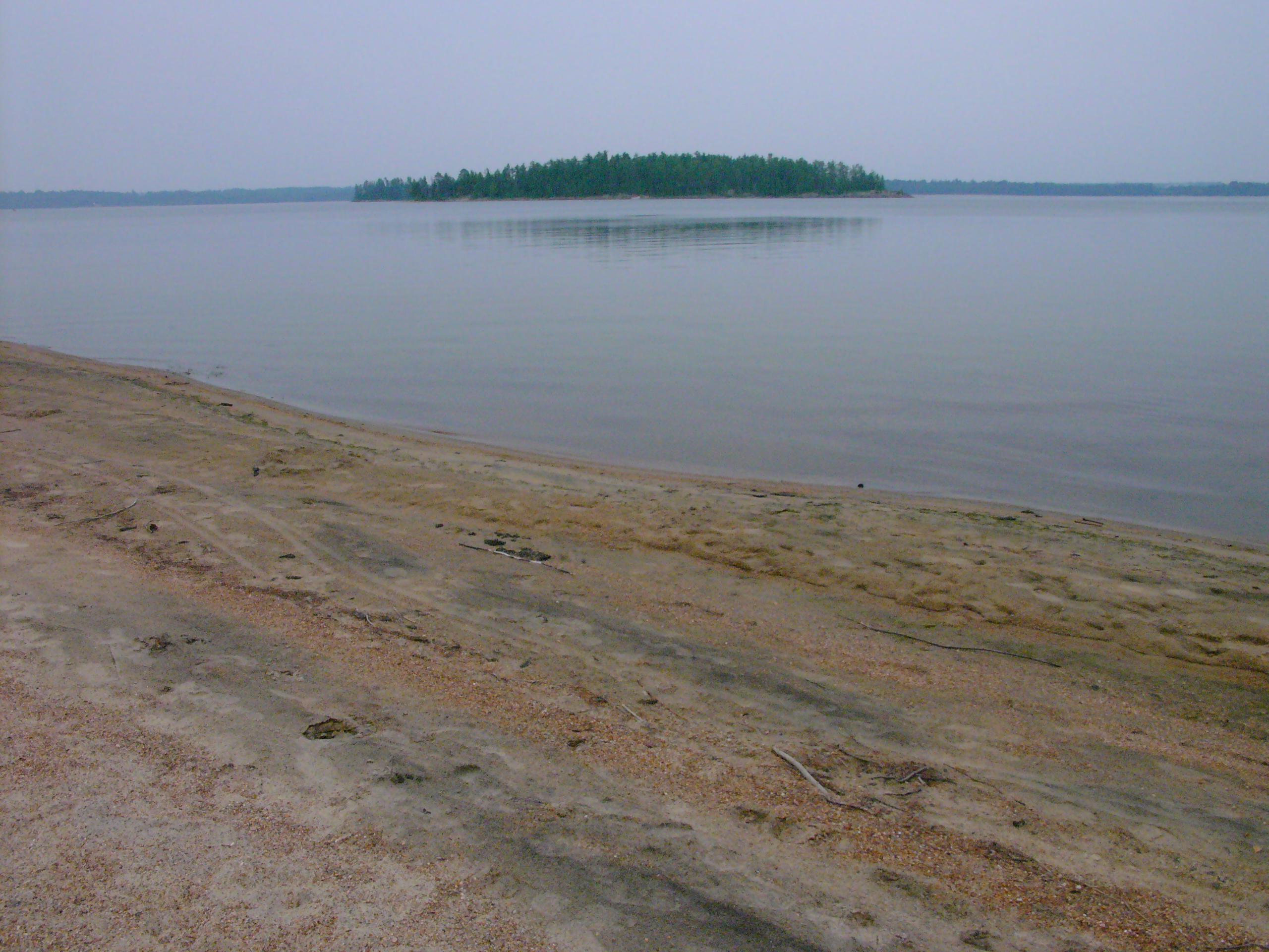
Deep River Beach
Nowhere Quebec (10)
P1090888.JPG

P1090887.JPG
Nowhere Quebec (8)
P1070329.JPG

P1070328.JPG
P1070327.JPG
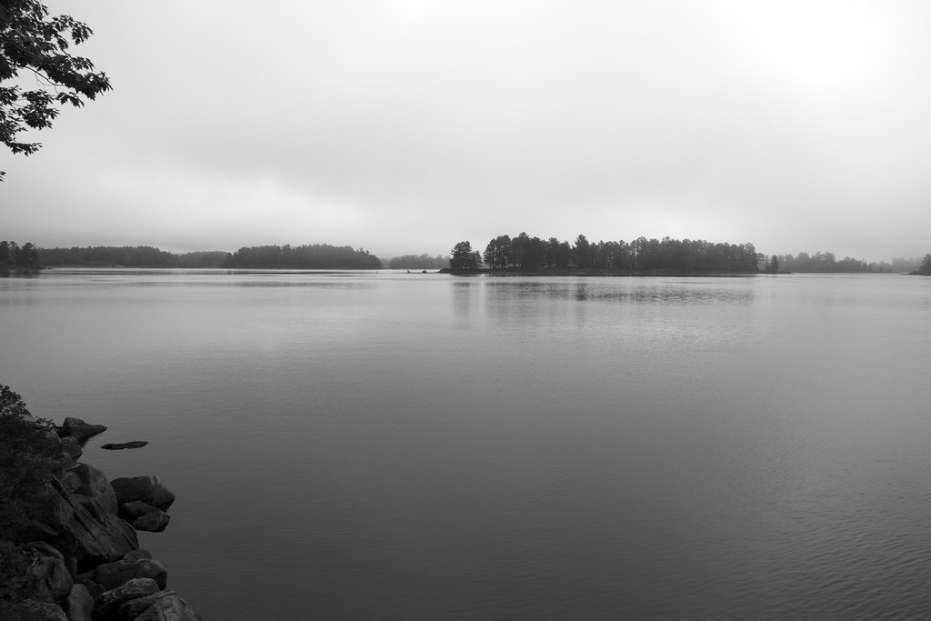
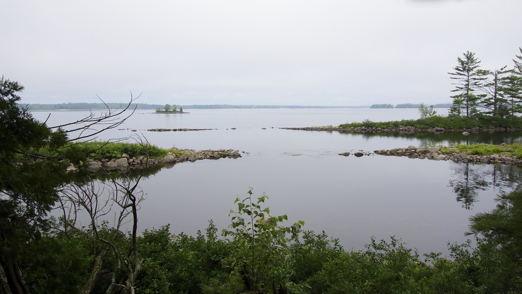
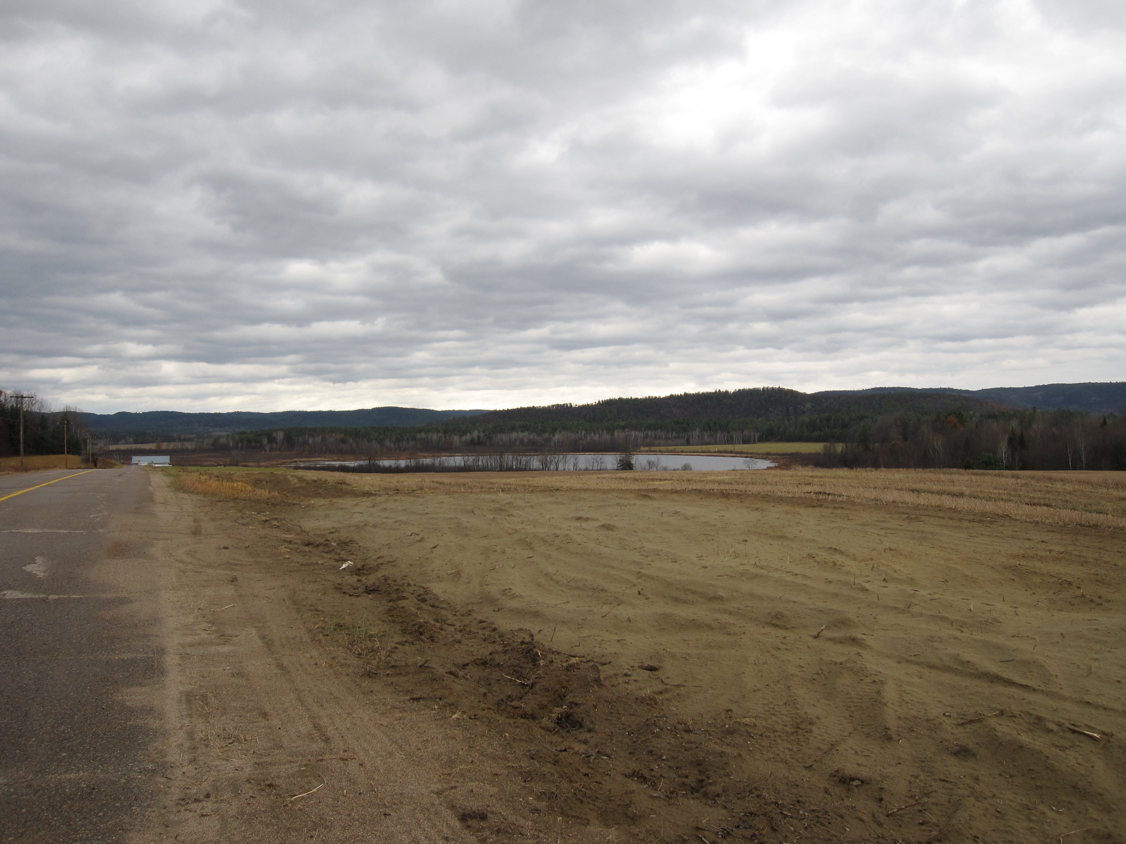
Ottawa River
Topographic Map of Chichester, QC, Canada
Find elevation by address:

Places in Chichester, QC, Canada:
Places near Chichester, QC, Canada:
Chapeau
Church Line
L'isle-aux-allumettes
QC-, Chapeau, QC J0X 1M0, Canada
173 Fraser Ln
Pembroke
10 Pembroke St E
100 Lake St
9 Dawson Dr
217 Cecil St
363 Bell St
Moffat St, Pembroke, ON K8A 3Y1, Canada
364 Bell St
373 Carmody St
413 Carmody St
685 Moffat St
555 Giroux St
415 Weston St
38 Rue Nadeau, Waltham, QC J0X 3H0, Canada
Chemin Fitzpatrick
Recent Searches:
- Elevation of Corso Fratelli Cairoli, 35, Macerata MC, Italy
- Elevation of Tallevast Rd, Sarasota, FL, USA
- Elevation of 4th St E, Sonoma, CA, USA
- Elevation of Black Hollow Rd, Pennsdale, PA, USA
- Elevation of Oakland Ave, Williamsport, PA, USA
- Elevation of Pedrógão Grande, Portugal
- Elevation of Klee Dr, Martinsburg, WV, USA
- Elevation of Via Roma, Pieranica CR, Italy
- Elevation of Tavkvetili Mountain, Georgia
- Elevation of Hartfords Bluff Cir, Mt Pleasant, SC, USA